Category: Glaisdale
-
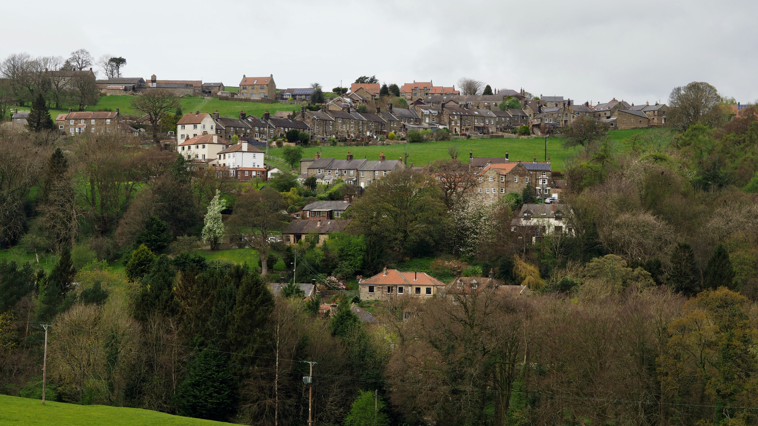
Glaisdale
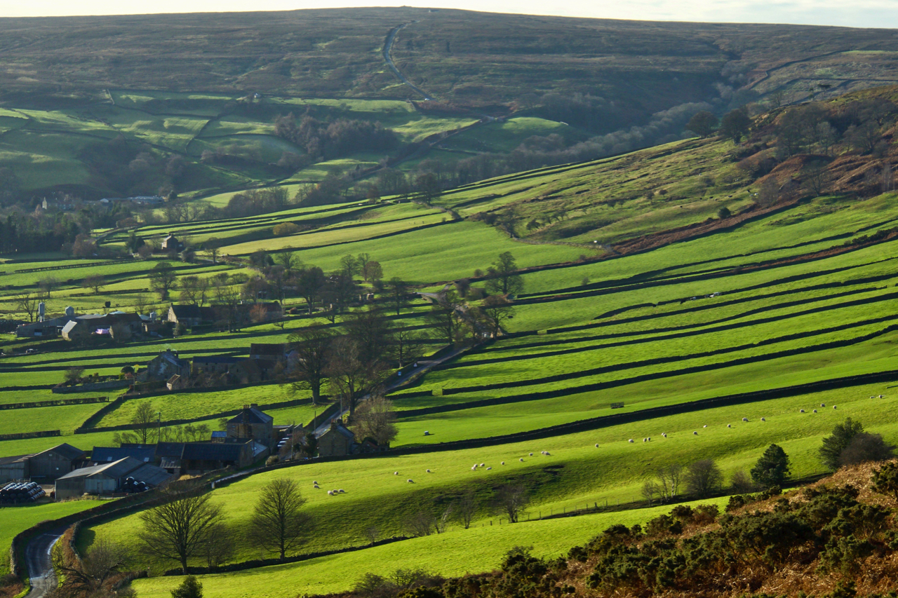
The village of Glaisdale perches high on a hill, where Glaisdale Beck meets the River Esk in a dramatic confluence. Its terrain is spectacularly steep, with descents plunging more than 500 feet within a mere half-mile stretch. At its heart lies the church, commanding a view towards Glaisdale Head. Settlement in this dale adheres to…
-
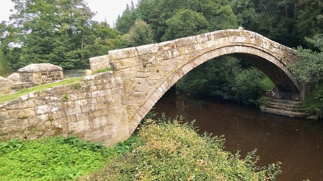
Vandalised Legacy: The Tale of Beggar’s Bridge
A stroll down to Beggar’s Bridge to take a gander at the scene of recent vandalism that had struck the 17th-century packhorse bridge. News of the damage, likely inflicted by a sneaky hand wielding a Stihl saw, has cast doubt over the bridge’s future. The old structure, standing for 400 years, now bears the scars…
-
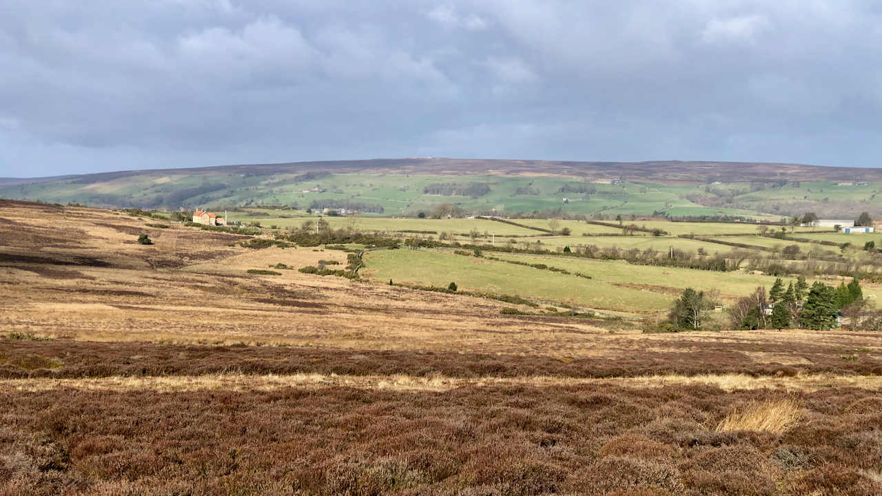
Glaisdale Swangs
“ … a wet, morassy division of the Danby and Glaisdale high moors” according to the Rev. Canon Atkinson. He was describing shooting Golden Plover at the time, a practice that today is totally immoral and illegal. The word ‘swang‘ occurs fairly frequently, originating from the old Norse word ‘svangr‘ meaning a hollow usually boggy.…
-
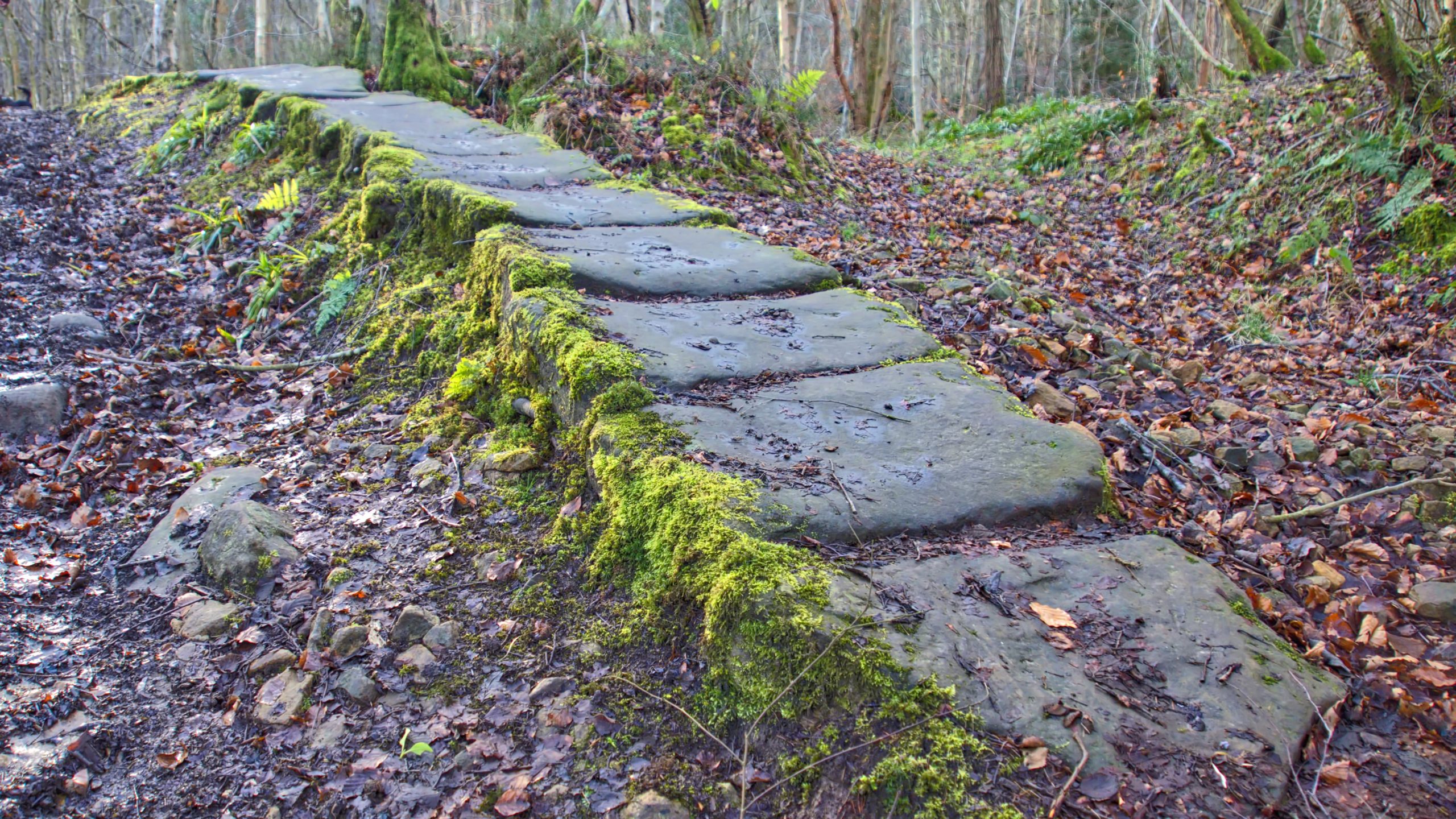
Monk’s Trod
From Westerdale, the River Esk flows somewhat leisurely down its broad valley. Until it reaches Glaisdale. There it enters the narrow defile between East Arncliffe Wood and Limber Hill where it speeds up into a mountain river, cascading over submerged rocks. For the modern cyclist, journeying down the dale to Whitby the steep climb up…
-
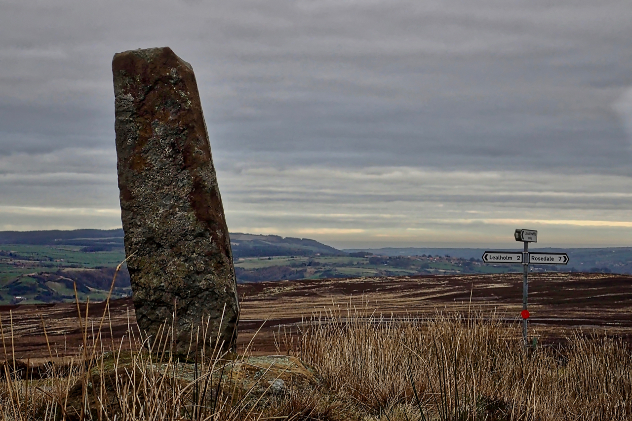
Wayside cross, Black Hill
After a great exploration of Glaisdale Rigg, my final photo of the day. A stone’s throw from the where the car was parked, a Medieval wayside cross. Situated at the crossroads of Yarlesgate, the north-south pannierway linking Lealholm to Rosedale, and the east-west track from Glaisdale to Great Fryup Dale, down the very steep Beanley…
-
Glaisdale Side
Glaisdale is one of the Moors’ less visited dales. About 5km in length, running north-east to south-west. A true rural idyll. But this has not always been so. There is evidence of Medieval bloomeries belonging to the Guisborough Priory and of collieries at the head of the dale. The construction of the railway along the…
-
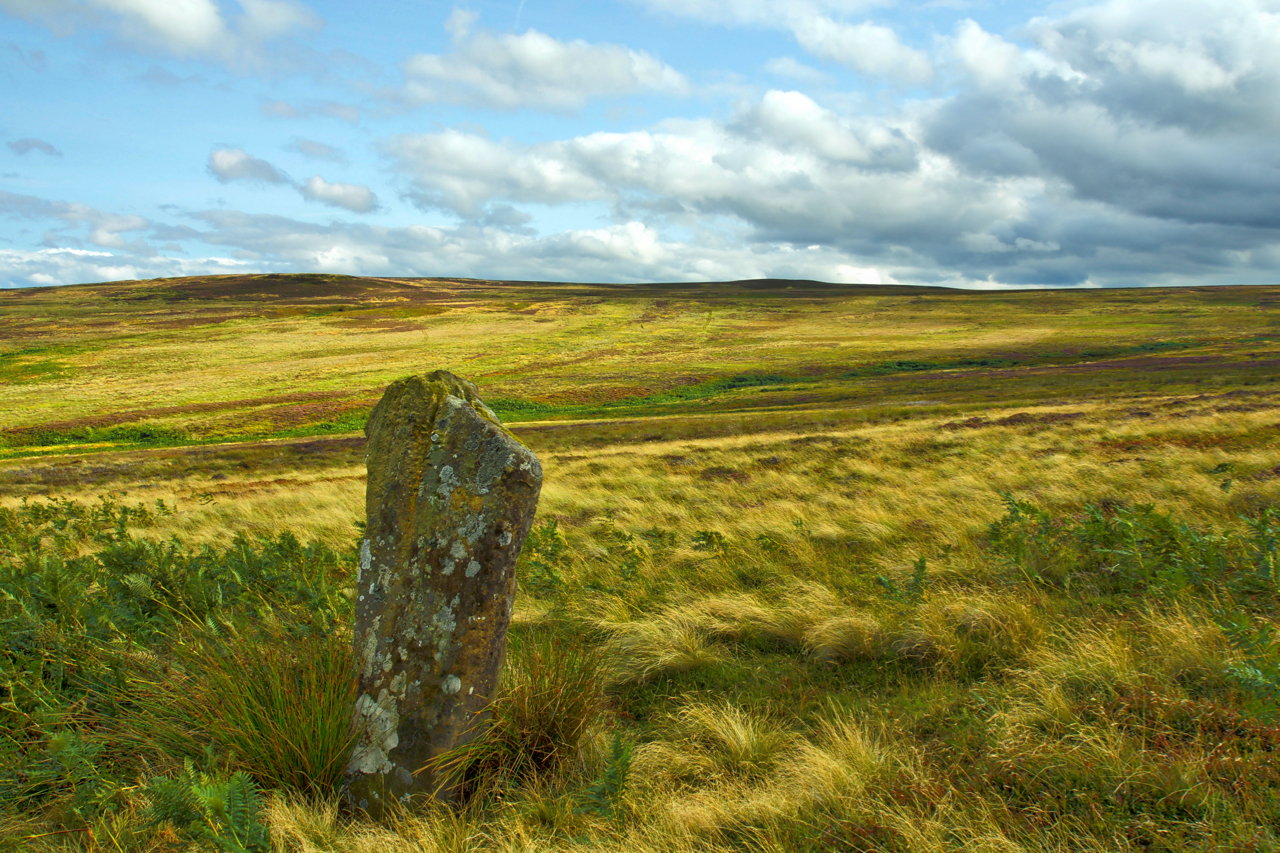
Standing Stone, Glaisdale Swang
Glaisdale Moor is scattered with standing stones. Most mark parish boundaries and tracks and are of dressed stone indicating a probable 17th-century date. In Glaisdale Swang, a boggy hollow draining north into Busco Beck, stands an isolated menhir which looks much older but has been largely ignored by antiquarians. Open Space Web-Map builder Code
-
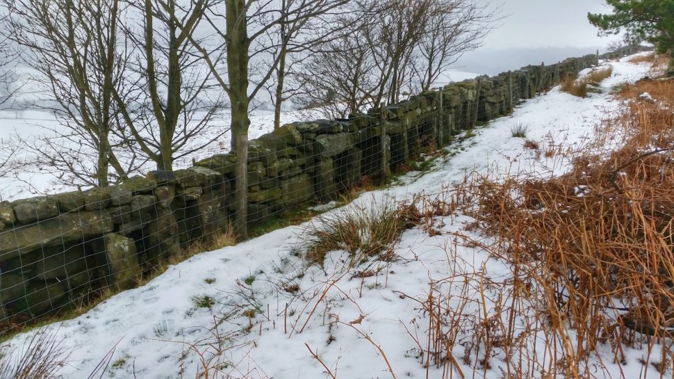
Bee Boles, Glaisdale
A trip out to a dreich Glaisdale today. This wall at Bank House Farm contains about 77 bee boles which are recesses that were used for keeping bee hives in when the heather was in flower. The hives would have been the coiled straw type called skeps. The North York Moors dry stone walls contains quite a few examples…