Author: Fhithich
-
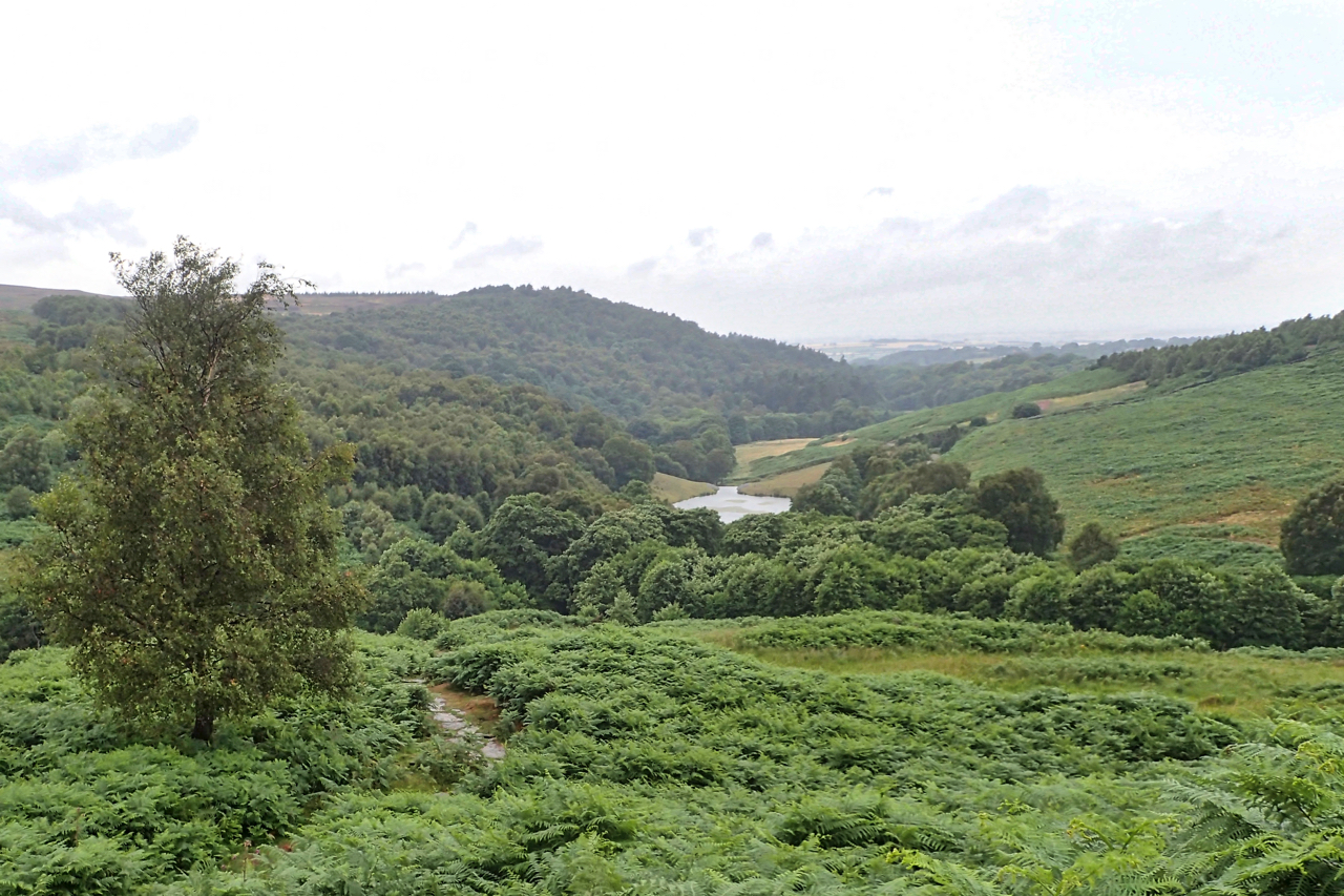
Blue Lake
Not really a lake and definitely not blue, more of a mucky brown. It is, of course, a small dam and the blue refers to the blue colour it was said to be because of the salts of alum that leached into the water. It was built in 1880 by Sir Joseph Whitwell Pease to…
-
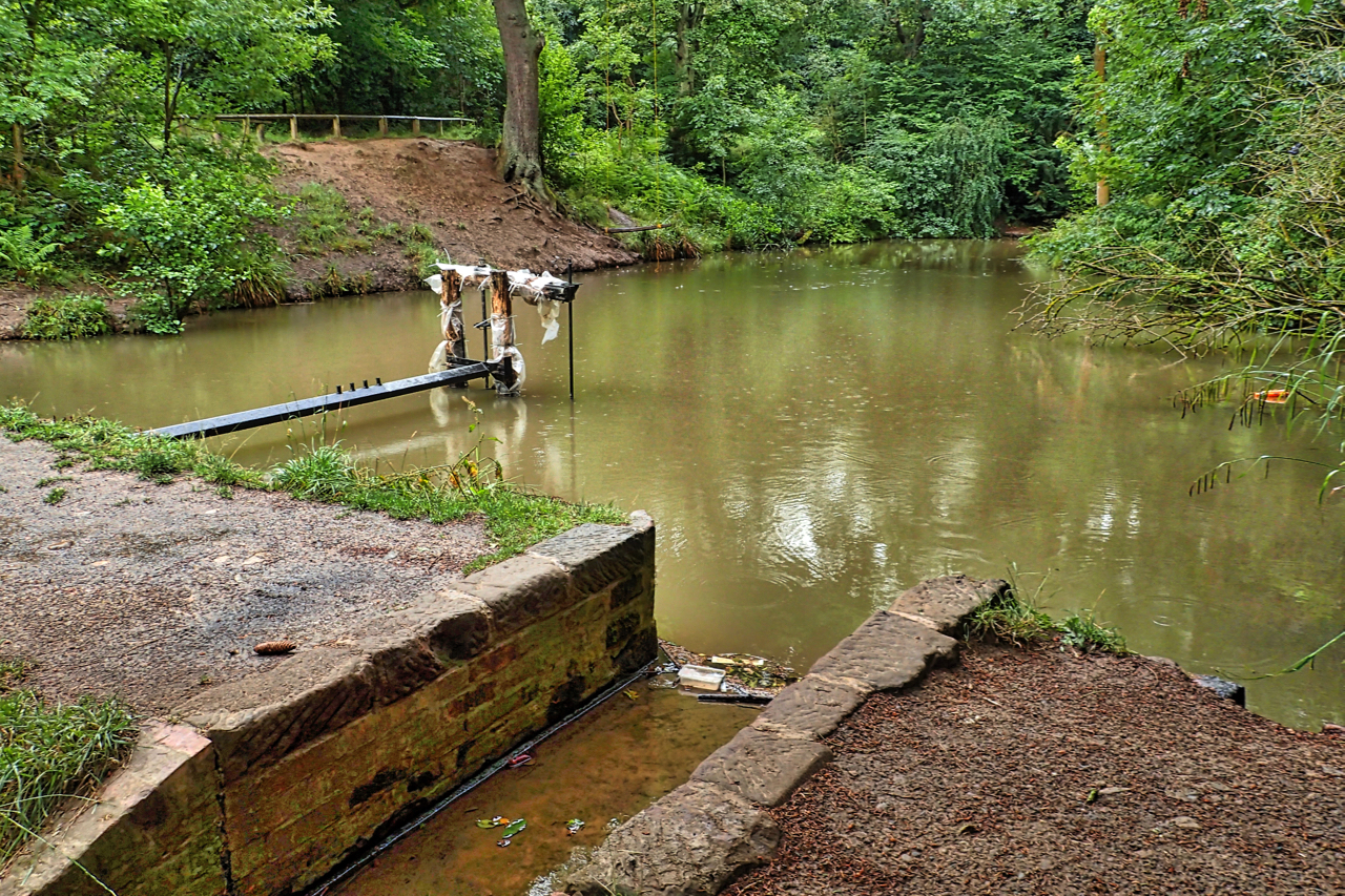
Oakdale
A weathered sign: “Oakdale Reservoir a source of Yorkshire Water” but now decommissioned and transformed into a wildlife lake, passed by The Cleveland Way. And a memory evoking view. Open Space Web-Map builder Code
-
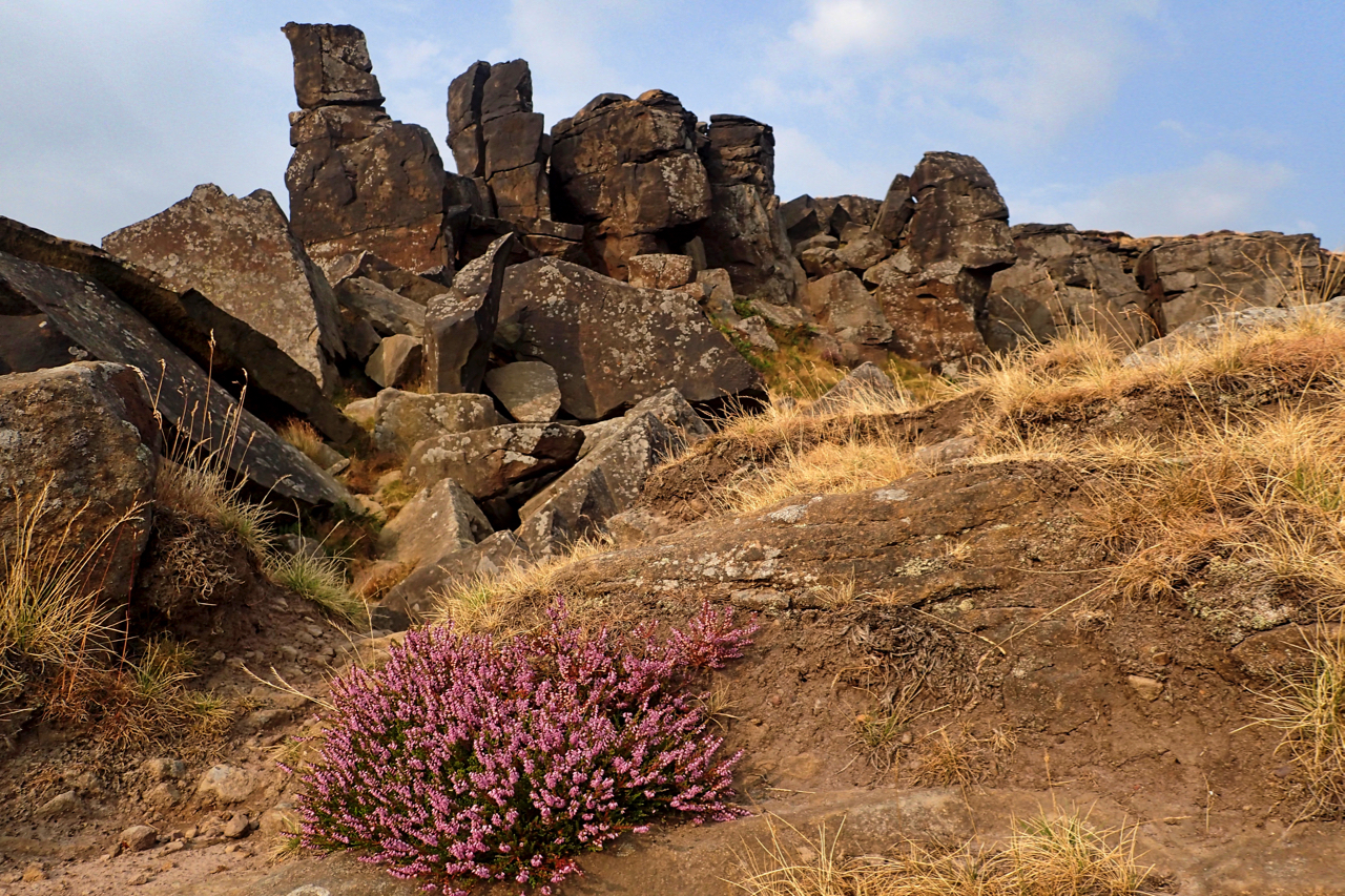
The Wainstones
Making the most of a break in the lightning and storms, a quick trip up to the Wainstones. Still very humid though. Nice to see the ling beginning to bloom. Open Space Web-Map builder Code
-
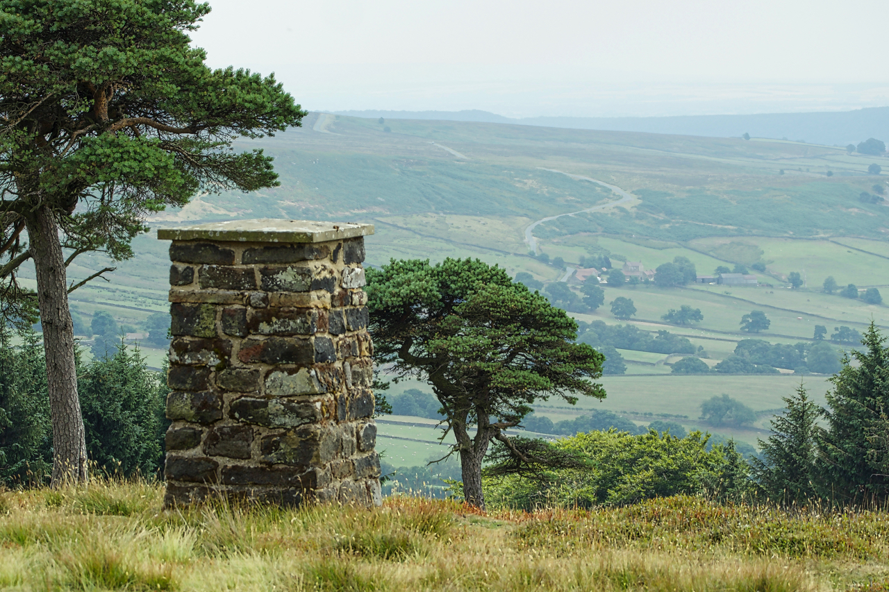
Ann Feversham Memorial
I have had a whinge about vernacular memorials many times before. The proliferation of benches on Roseberry, words carved into the rock face on Easby Moor and bunches of flowers wrapped in cellophane which remains long after the flowers have died. On the nose of Cockayne Ridge overlooking Bransdale is another memorial. A non-descript square…
-
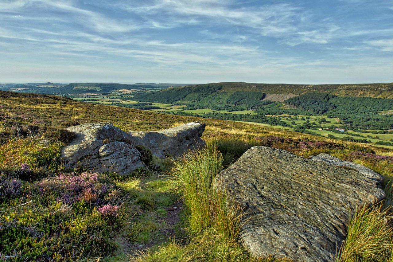
Carr Ridge
A lovely summer’s evening. Nicely cooling off. On Carr Ridge on Urra Moor. The Public Bridleway down Jackson’s Bank passes between a pair of flat stones, an obvious landmark, which surprisingly are un-named. roseberry is somewhere on the horizon. Open Space Web-Map builder Code
-
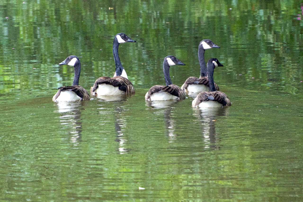
Synchronised swimming
Except that one member of the quintet needs a bit more practice. Canada geese are more often associated with larger bodies of water but this flock has taken up residence on the River Leven by the Low Green in the village. And already there are complaints about their droppings on the green. Canada geese are…
-
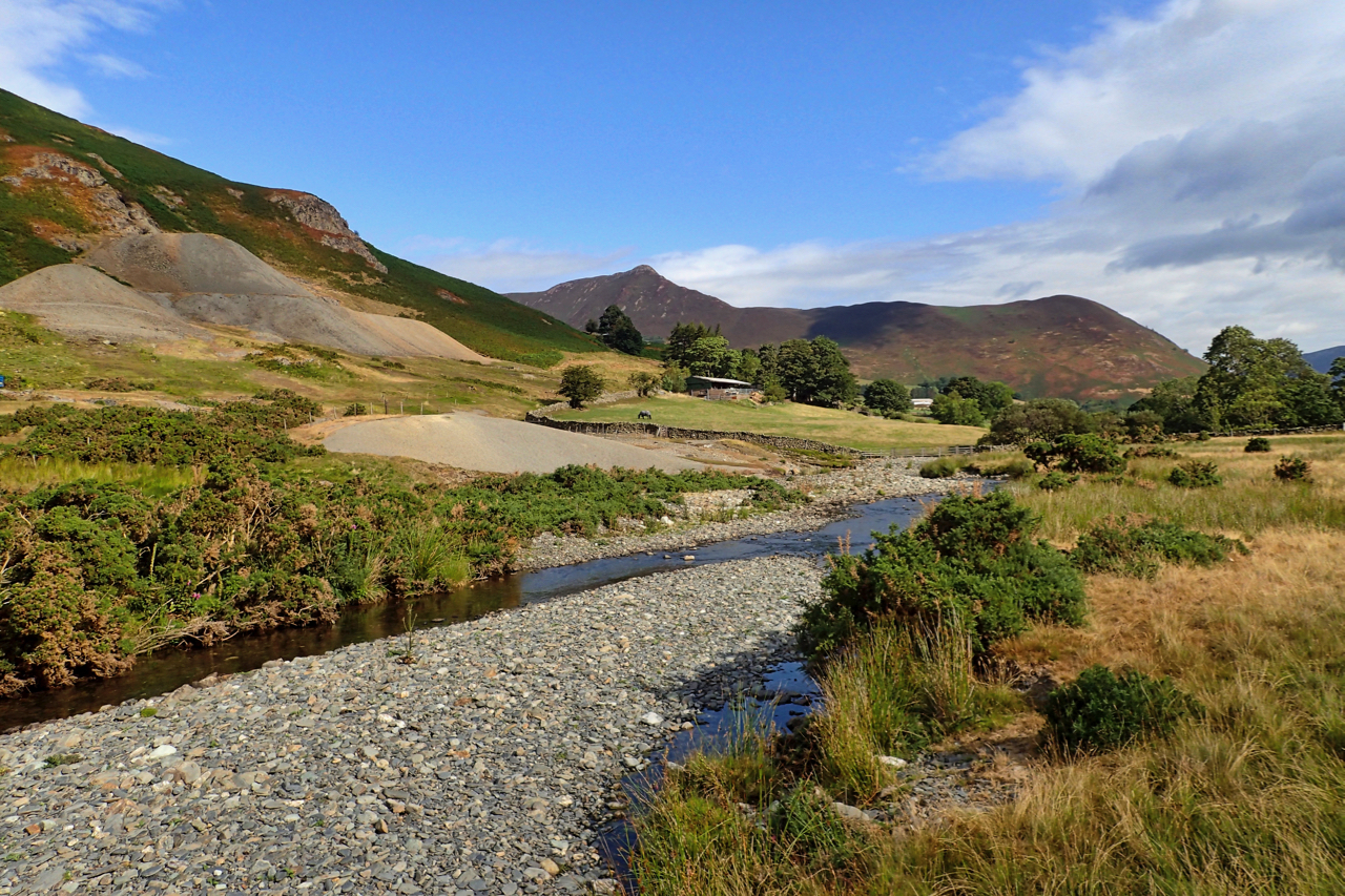
Newlands Valley
Newlands Beck meandering down the dale from its head below the appropriately named 753m high summit Dale Head. In the distance the prominent Causey Pike, a tortuous climb from this direction. The spoil heaps far left are from Goldscope Mine, one of the earliest mines in the area documented back to 1564, the year Shakespeare…
-
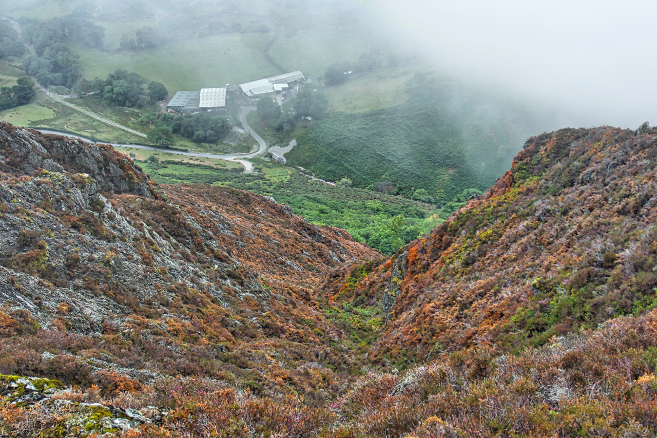
Ard Gill
Cloud base about 500m. I no longer find interest in bagging summits shrouded in mist so I opted for a circuit just dipping in and out of the cloud. On Ard Crags a break revealed the spectacular Ard Gill falling down to Keskadale Farm. Magic. Open Space Web-Map builder Code
-
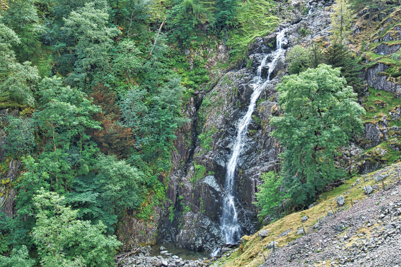
Taylorforce Gill
In Borrowdale, the “wettest place in England”. Allegedly. Yesterday’s drizzle has fizzled out. But there’s still water coming out of Styhead Tarn. Styhead Gill tumbles down Taylor Force Gill, a 140-foot drop, one of the highest in the Lake District. Open Space Web-Map builder Code
-
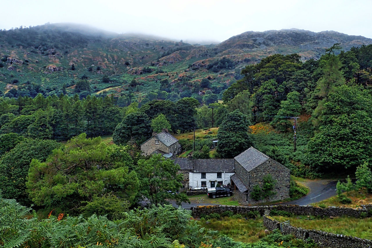
Holme Ground, Low Tilberthwaite
Drizzle and low cloud covering the tops, a welcome refreshing change. Tilberthwaite is a lovely little valley with mature woods hiding abandoned slate quarry workings and spoil tips. Open Space Web-Map builder Code