A crisp, delightful morning on Newton Moor, in spite of a forecast that promises trouble. A depression over the Baltic is dragging down sharp northerly winds. That slab of grey on the horizon looks close enough to touch, yet, if that is so, it will be hanging over Scandinavia.
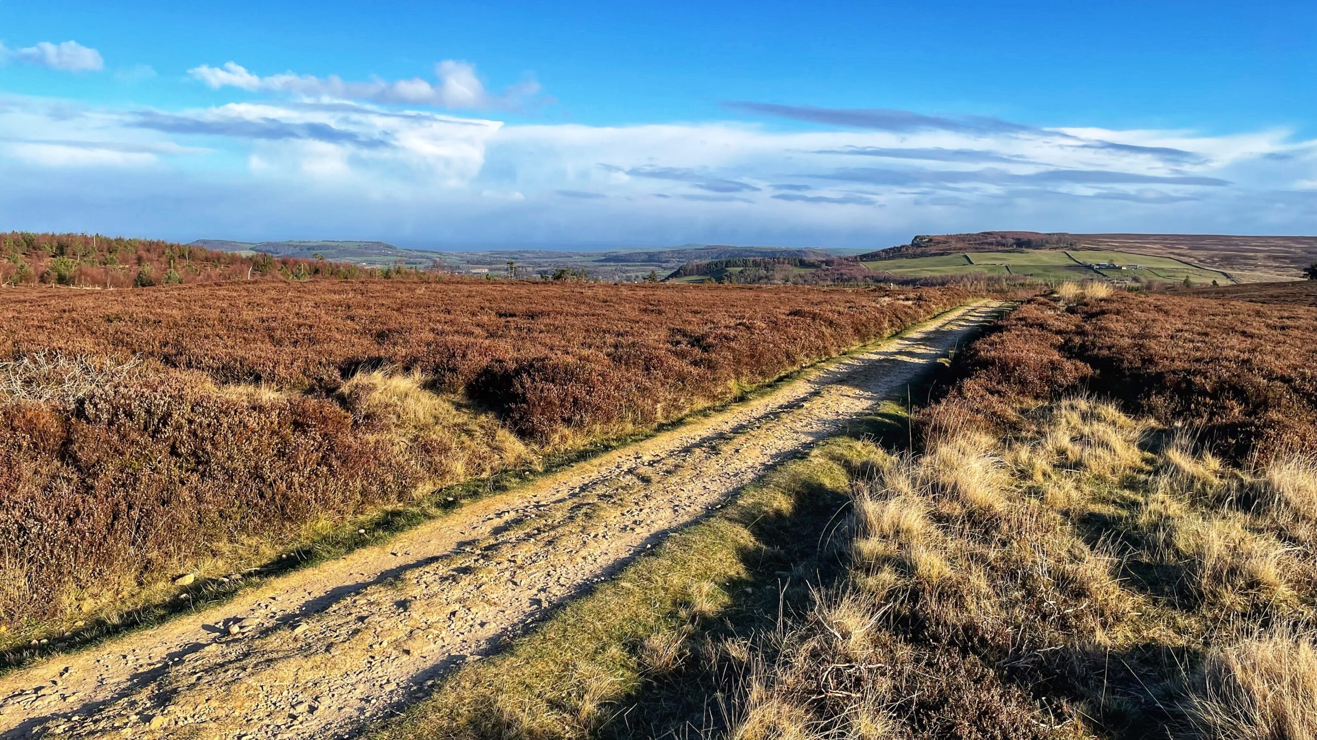
In the foreground runs a straight, well-made track, part of the Cleveland Way between Little Roseberry and Percy Cross Rigg. This is widely believed to follow an old and important route known as ‘Melegate’. The name turns up in a 13th-century charter recording a dispute over grazing, peat cutting, and heather on the moor, settled between Guisborough Priory and Richard de Hoton with his brother Humphrey.
The document, ‘Cartularium Prioratus de Gyseburne’, can be read online, although it is written in Latin. A modern translation exists, thanks to Google, but it still feels like peering through a glass darkly.
As best as I can make out, the agreement allows Richard and Humphrey to cut turves and heather on the western side of ‘the valley of Rivelingdale to Rotandekelde’, then on to ‘Melegate’, and along ‘Melegate’ as far as ‘a small Utheneberg‘.
‘Rivelingdale’ appears to be the broad, boggy hollow now called Codhill Slack.
‘Rotandekelde’ translates as the red spring, thought to lie within Rivelingdale. Several sites fit the bill, though St. Mary’s Well seems a strong candidate.
‘A small Utheneberg‘ is clearly Little Roseberry, though many believe it refers more precisely to the col on Roseberry Common, where several tracks once came together.
The charter continues by granting grazing rights along a web of routes: ‘as Rechergate extends to Thruhkelde and then just Riggingate down at the ford of Rivelindale and from there the path leads to Percycros and then just Molecros leads at small Otheneberg and then the path that stretched over wood from Hotona to Rechergate mentioned’.
‘Rechergate’ is Ruthergate, an ancient track still traceable from Guisborough.
‘Thruhkelde’ means ‘the spring on the pass’, possibly Codhill Spring near Codhill Farm by the old moor gate below Highcliff Nab. It has long since dried up.
‘Riggingate’ was likely a track crossing Codhill Heights.
‘The ford of Rivelindale’ is easy to picture as the spot where the modern access road to Sleddale Farm crosses Codhill Slack.
That leaves ‘Molecros’. This is thought to have stood near the point where the Percy Cross Rigg track leaves the present forest boundary, close to where ‘Melegate‘ joins it. A small name, lightly recorded, yet still shaping the ground underfoot.
Sources
- “Guisborough Before 1900”. Edited by B.J.D. Harrison and G. Dixon. 1982. Published by G. Dixon.
- Dixon, Grace. “Two Ancient Townships – Studies of Pinchinthorpe and Hutton Lowcross”. Published by G. Dixon.
Leave a Reply