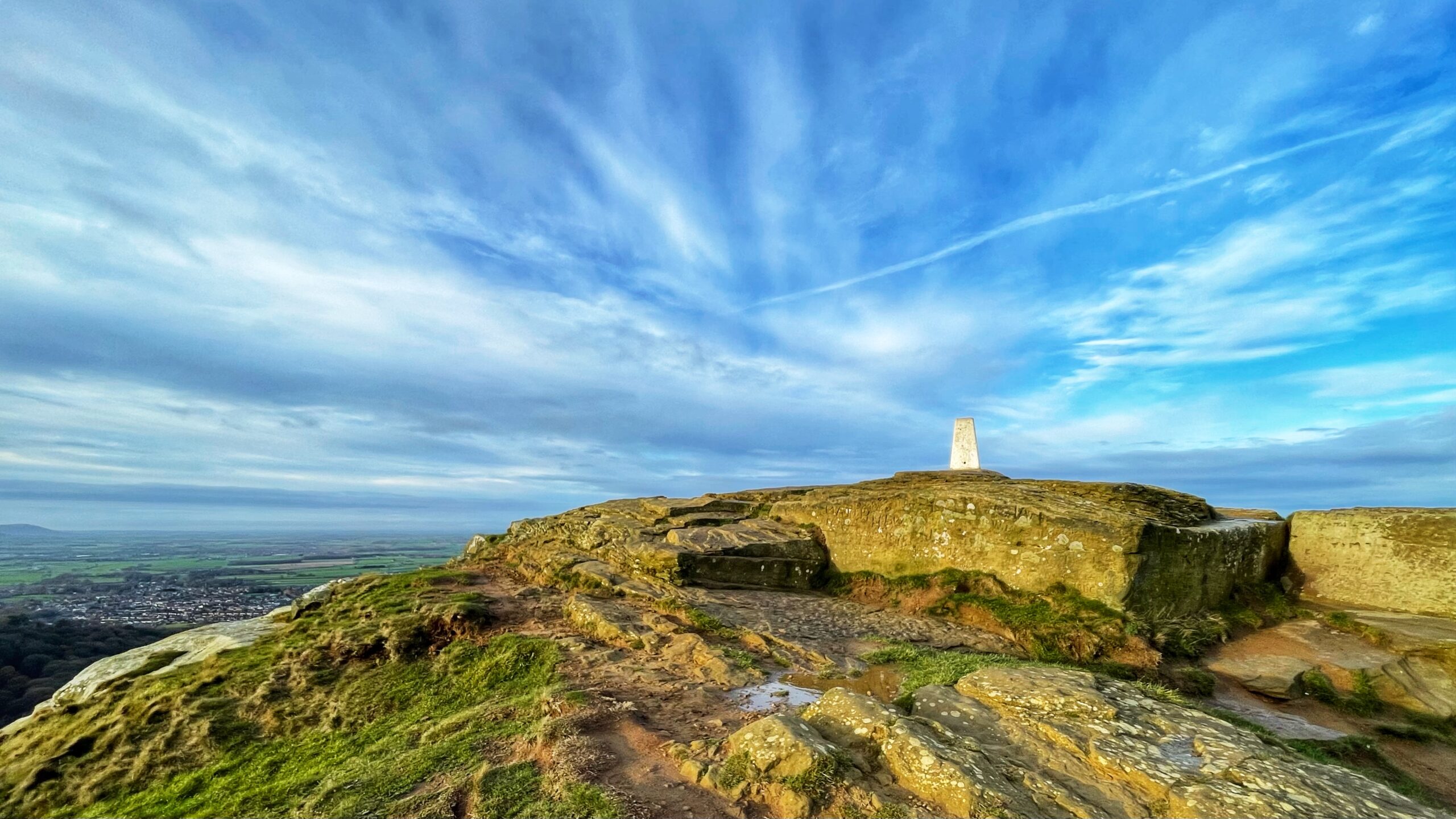
Trig points cling to hilltops like relics from a time when humans trusted metal and masonry rather than shining toys orbiting the earth. This one on Roseberry’s summit keeps being repainted in traditional white, only to be graffited again by passing aritists who imagine posterity cares about their scribblings. With GPS now doing the clever work, the trig pillar is little more than a monument to a method most walkers recall only vaguely, muttering something about triangles before wandering off to check their phones.
A common myth insists that triangulation is as old as Euclid, as though ancient sages had spent their days marching across fields with precision instruments. The geometric trick of finding the unknown sides of a triangle from one known side and two angles is indeed ancient, but the organised drudgery of building networks of measured triangles across real landscapes is not. That belongs to the Early Modern Period, when Europe was busy reinventing just about everything and pretending it had been doing so for centuries.
Confusion springs from mixing up mathematical brilliance with actual fieldwork. Ptolemy’s ingenuity, or al-Biruni’s observations, dealt with celestial positions and long-range estimates. They were not out on windswept ridges establishing baselines. The notion that prehistoric scholars spent their afternoons squelching through bogs in the name of cartography is endearing, though gloriously untrue.
Modern triangulation has a clear moment of birth. In 1533 Gemma Frisius, a Flemish mathematician who evidently tired of sloppy geography, published his Libellus de locorum describendorum ratione. He explained how one should measure a baseline with wearying precision, then observe angles to distant points using a surveying instrument, letting trigonometry stitch everything together. It turned map-making from cottage craft to organised enterprise, much to the relief of anyone who liked their coastlines drawn in the correct place.
The idea gained speed after being reprinted in Apianus’s Cosmographia in 1540, a book that spread faster than gossip in a village pub. The following centuries saw refinements and ambitious applications. Willebrord Snell, in the early seventeenth century, famously used the method to measure the distance between two Dutch towns, proving that triangulation could do far more than guide a local stroll. His work became a milestone in geodesy, laying foundations that others would build upon.
Triangulation earned its place in history because it replaced endless ground slog with tidy angular observations and dependable calculation. It allowed nations to be mapped with astonishing accuracy, culminating in feats such as the Principal Triangulation of Great Britain. Only with the arrival of satellites did these stout concrete sentinels lose their purpose, left to endure the weather and the graffiti while the rest of us pretend we always knew how the world was measured.
Source: The Renaissance Mathematicus. 25 May 2012. https://thonyc.wordpress.com/2012/05/25/mapping-the-history-of-triangulation/ [Accessed 5 December 2025]
Leave a Reply