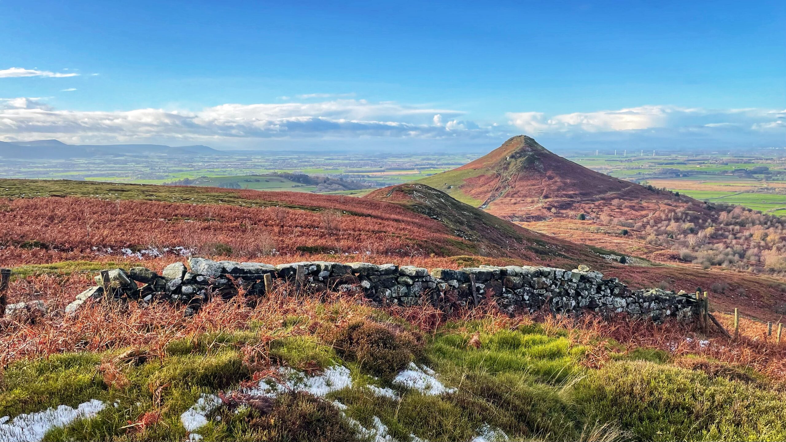
From this viewpoint on Ryston Bank the knoll of Little Roseberry takes on a presence rather more commanding than its shy appearance on the O.S. Map, where it is denied even a ring contour.
If the name Roseberry grew out of “Othenesberg”, the Old Norse for Odin’s Hill, it seems a touch peculiar that its modest sibling should have been honoured with the title of hill at all. Yet such niceties would have raised few eyebrows in medieval times. Travellers moving between Guisborough and Ayton would have followed what is now the bridleway up Bousdale, across Roseberry Common and down by Aireyholme, perhaps a weary farmer on his way to the medieval market and fair at Great Ayton1Recorded in 1253. “Historical Atlas of North Yorkshire.” Map Page 103. Edited by Robin A Butlin. Westbury Publishing. Reprinted 2004. ISBN 1 84103 023 6..
This route appears in the Guisborough Cartulary, the foundation charters of Guisborough Priory from about 11202“Roseberry Topping”. Great Ayton Community Archaeology Project. 2006 ISBN 978-0-9554153-0-2.. In a translation of the boundary description for the Priory’s lands, one finds the phrase “as far as the great road of Ohensberg”. The same documents also use “Othenesberg” for Roseberry, so the shifting spellings are nothing out of the ordinary for the period. Parvus Othensberg is the medieval name for Little Roseberry, which suggests that its striking position above the col made enough of an impression on those who passed beneath it3Dixon, Grace. “Two Ancient Townships – Studies of Pinchinthorpe and Hutton Lowcross”. ISBN 0 9507827 2 6 1991.
- 1Recorded in 1253. “Historical Atlas of North Yorkshire.” Map Page 103. Edited by Robin A Butlin. Westbury Publishing. Reprinted 2004. ISBN 1 84103 023 6.
- 2“Roseberry Topping”. Great Ayton Community Archaeology Project. 2006 ISBN 978-0-9554153-0-2.
- 3Dixon, Grace. “Two Ancient Townships – Studies of Pinchinthorpe and Hutton Lowcross”. ISBN 0 9507827 2 6 1991
Leave a Reply