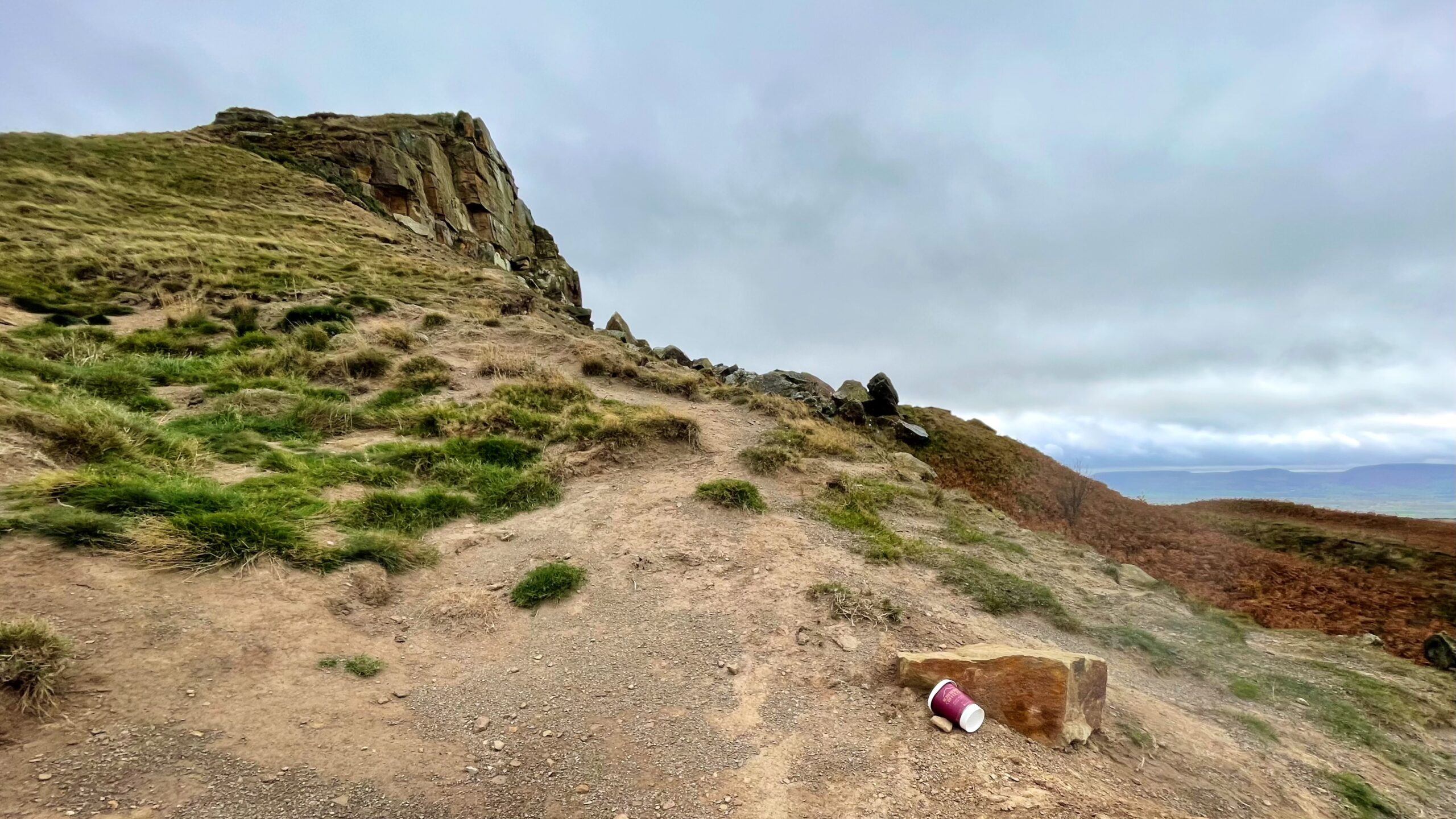
I set out this morning hoping to capture a clear view of the mound on Roseberry’s western slope, formed by the landslip of May 1912. The result was underwhelming; the photograph failed to do justice to the defining shape of the old slump.
During the second week of that May, a great section of Roseberry’s exposed rock face gave way and slid down towards Newton Wood. No one recorded the exact hour, but it likely happened in the quiet darkness before dawn. It must have been a dramatic sight, for the fall left the unmistakable profile that gives Roseberry its character today.
This western flank beneath the summit has long been restless. Since the glaciers withdrew, countless slips must have shaped it. Fragile shales bear the weight of the sandstone cap above; as erosion strips away soil and shale, the sandstone loses its support and shears away. Even in the seventeenth century the Cottonian manuscript mentioned stones tumbling from the top, so this is hardly a new trick of the hill1“Roseberry Topping”. Great Ayton Community Archaeology Project. 2006. ISBN 978-0-9554153-0-2..
The photograph suffered another indignity: a discarded takeaway coffee cup in the foreground. Monday’s evidence of weekend visitors, I suppose. Still, Roseberry is rarely overrun with rubbish, thanks to the quiet diligence of those volunteers who, without fuss or fanfare, keep this National Trust landmark looking as it should.
- 1“Roseberry Topping”. Great Ayton Community Archaeology Project. 2006. ISBN 978-0-9554153-0-2.
Leave a Reply