Tag: ironstone mining
-
Spawood and Spa Ironstone Mines
At Slapewath near Guisborough, there were two ironstone mines operating in the late 19th-century within one hundred metres of each other. To the south of Alumwork Beck (the Guisborough side) was Spawood, and to north (the Skelton side) the Spa mine. They were operated by different companies and worked different royalties, but apart from their…
-
Rosedale West Kilns
Ironstone has been mined in Rosedale since medieval times, but it was only small scale operations. It was in the mid-19th-century with the discovery of a very high quality seam near Hollins Farm that extraction became more serious. The mine opened in 1853 with ore being carried down the valley by a pannier train of…
-
Eston Bank
I do try to avoid anniversaries of births and deaths in these postings but on this in 1891, John Marley, the mining engineer who, it could be said, along with John Vaughan, gave birth to the iron industry on Teesside, died at the age of 67. Iron had been worked in the Cleveland area since…
-
Skinningrove
When ‘J.G.’ passed through Skinningrove bay in 1866 on his way from Saltburn to Whitby, the village must have looked very different. The stone built houses were set back from the shore, to give some shelter from the North Sea; the rows of terraced cottages had still to be built. To visualise it best, it’s…
-
Roseberry Ironstone Mine
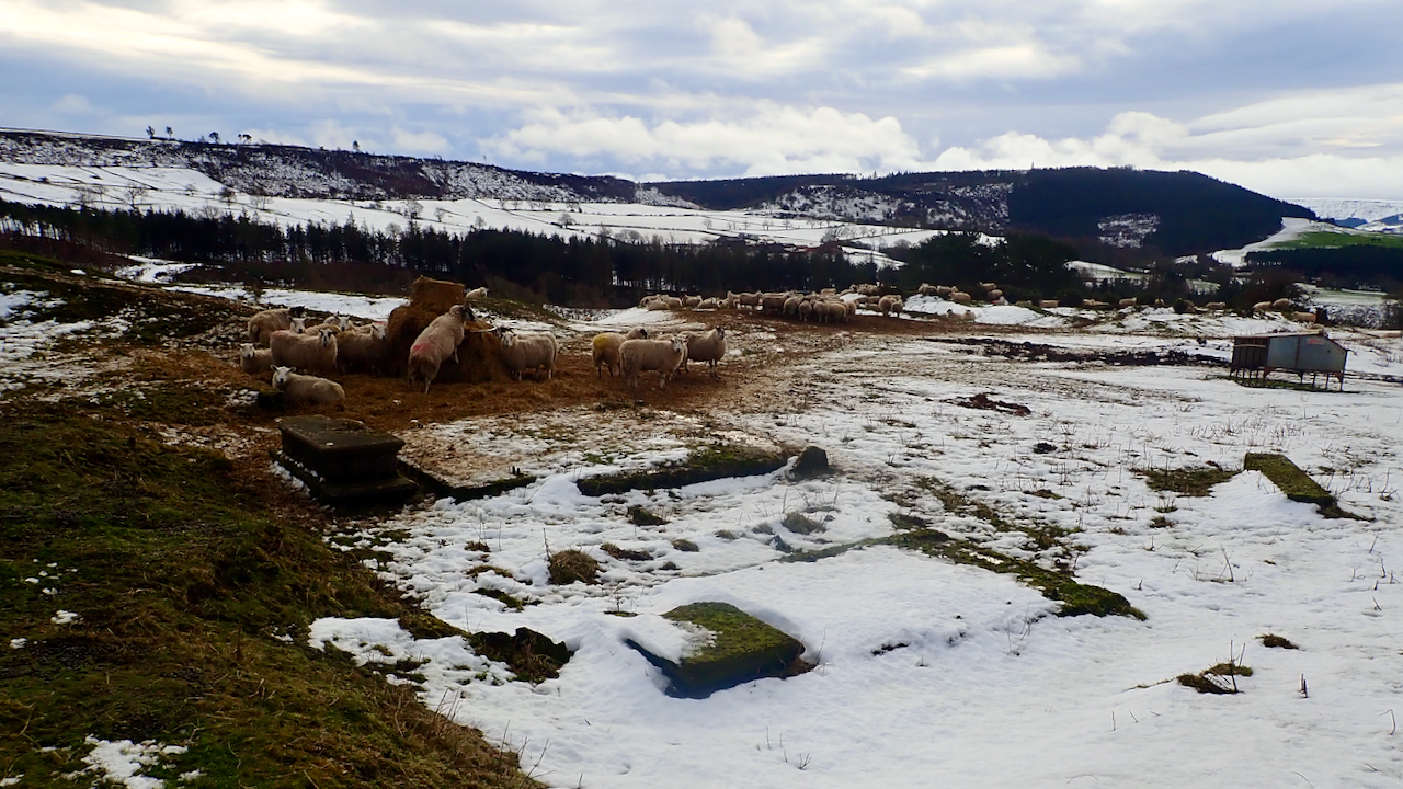
A few concrete bases and plinths are the most obvious remains of the Roseberry Ironstone Mine. One hundred and ten years ago today, the mine was in full production with a workforce of 283 men of which 229 worked underground. One of these underground workers was Dalton Taylor who lived on the High Street in…
-
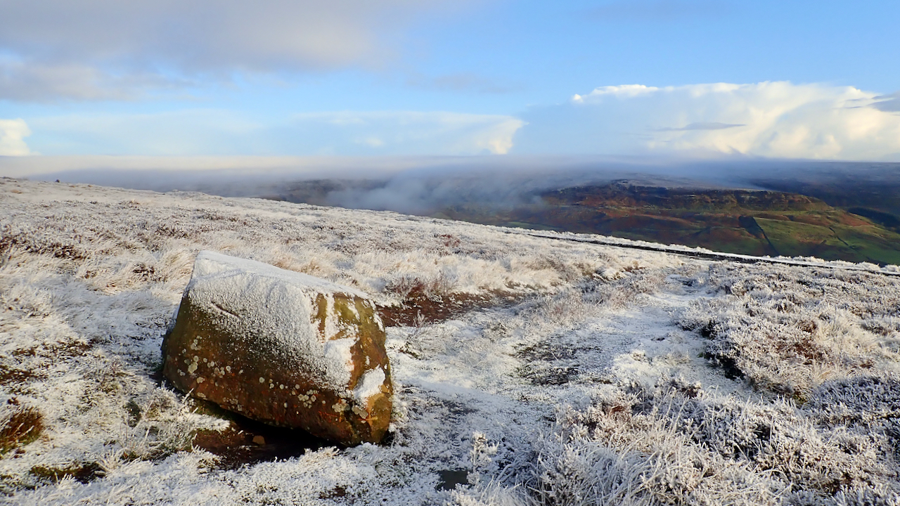
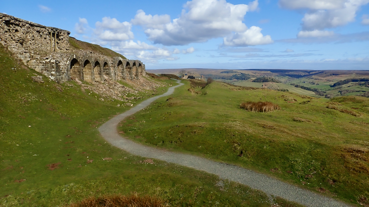
In search of a navvy camp in Rosedale
Headed high today. To Blakey Ridge. Through the freezing fog to blue skies and a boreal wonderland. We were in search of the remains of a temporary encampment for the navvies that built the mineral railway around Rosedale. The location was at Black Intake just west of Green Head Brow. The first loaded train along the 14-mile mineral railway…
-
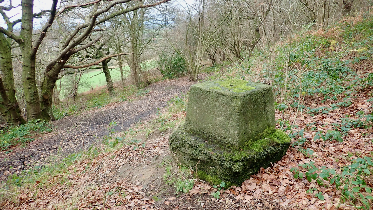
Aerial Ropeway Base, Cliff Rigg Wood
Standing proud in Cliff Rigg Wood, a concrete base that supported one of the steel trestles for an aerial ropeway that ran from Ayton Bank Ironstone Mine to sidings at the west end of Cliff Ridge where the ore was loaded into railway trucks. As the trestles were of a tripod design there would have…
-
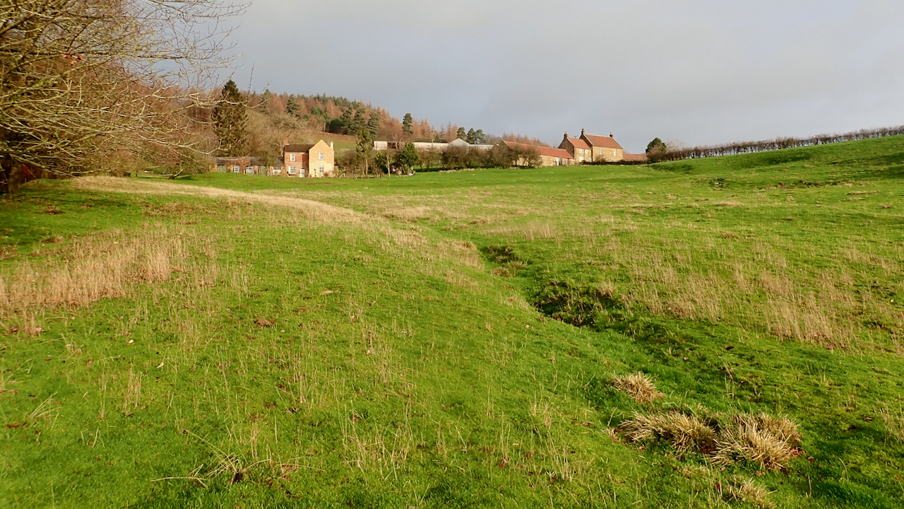
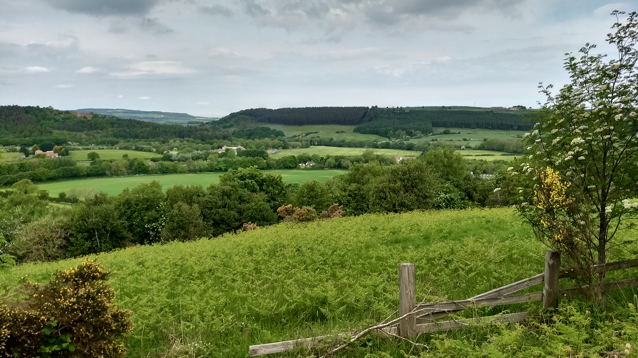
Bankside Farm
A bit of a ‘lucky dip’ walk today. Generally dull and gloomy, with the occasional brief sunny spell. One such spell occurred when I was climbing out of Kildale towards Capt. Cook’s Monument on the Cleveland Way. Above the pasture field known as Ley Close, Bankside Farm and its neighbour Bankside Cottage reflected the apricity.…
-
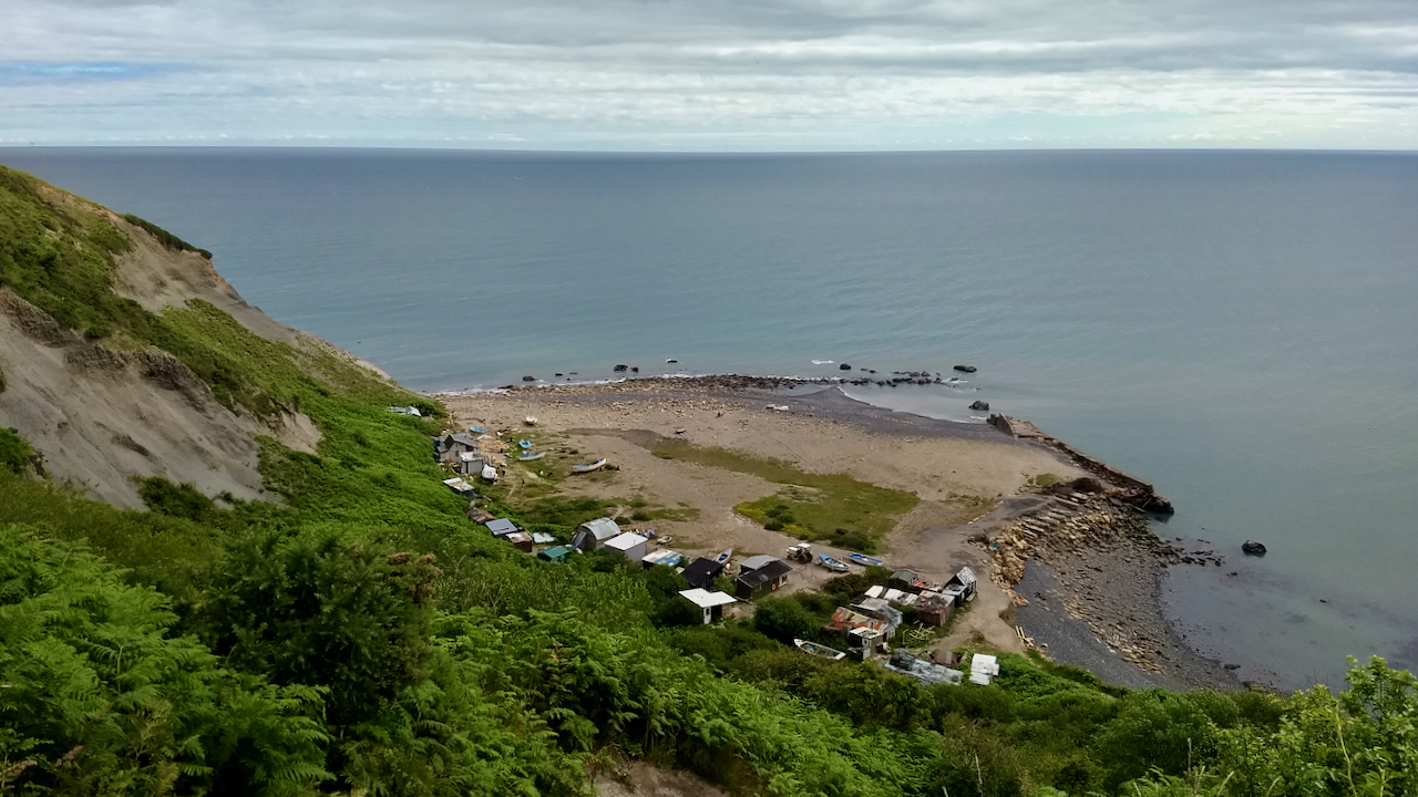
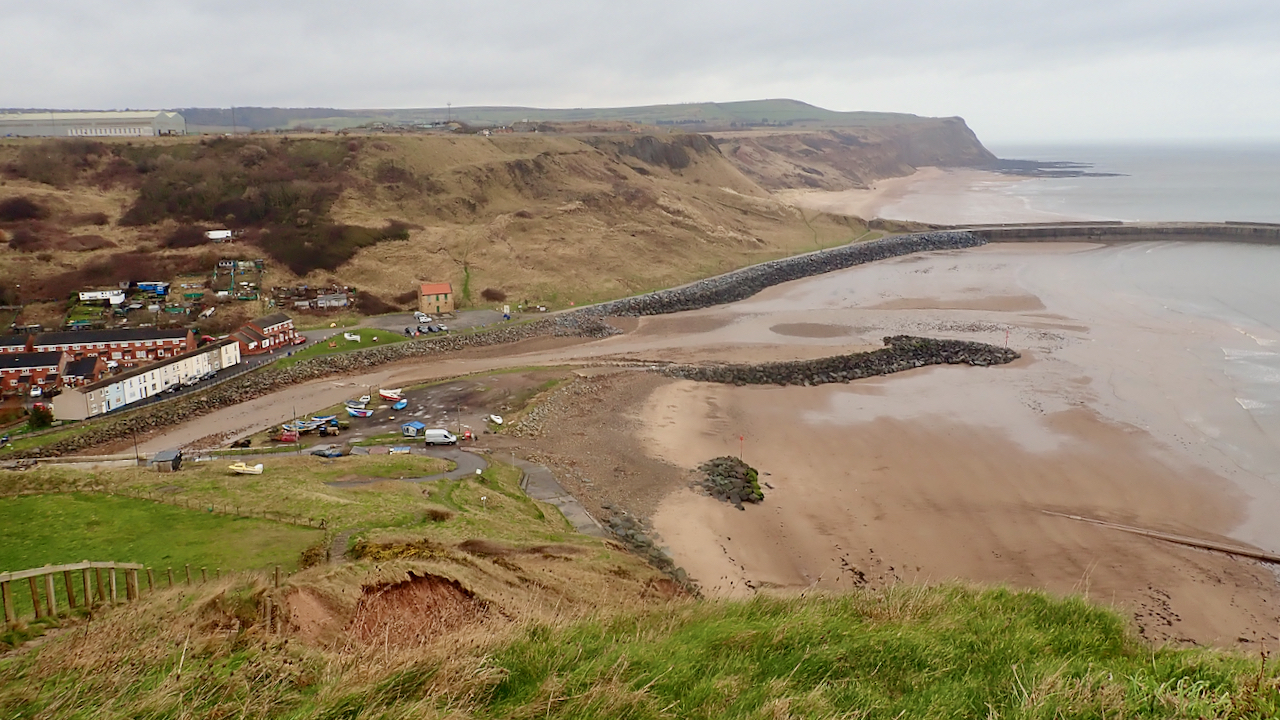
Port Mulgrave
Every time I go to Port Mulgrave, it still feels very much the same, yet much has changed. The winter storms have eroded the old jetty. The harbour has become more silted, the fishermen’s huts more elaborate. Some now are clearly contenders for Grand Designs. Landslips have caused the steep paths down the cliff to…
-
Site of Summerhill Farm
In 1658 John Coulson, lord of the manor of Great Ayton, together with twenty other freeholders of the village made an agreement to enclose the ancient open fields and common pastures dividing them up amongst themselves. Sometime after this, the farm at Summerhill, nestling below Ayton Bank, would have been created. In spite of its…