This week
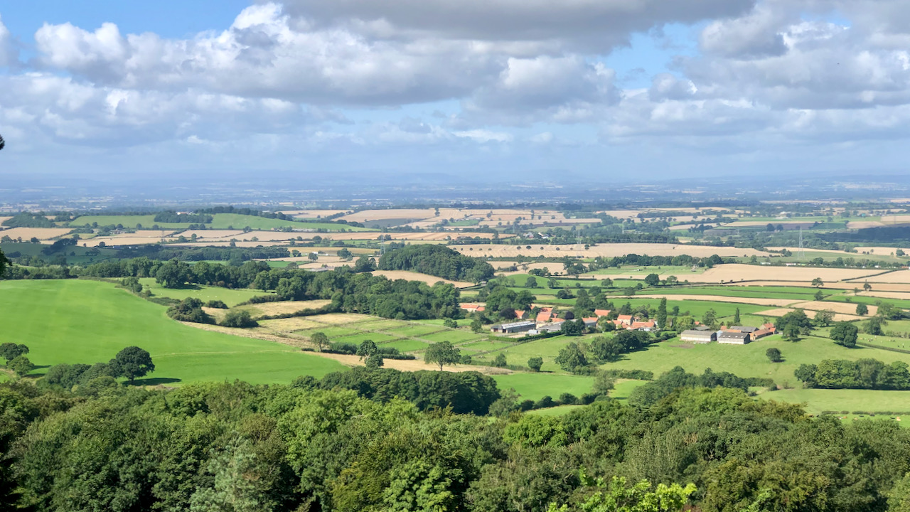 From Barbados to Morrisons—The history of Thimbleby… 11th August 2023 The agricultural landscape of the Vale of Mowbray stretches across to the Dales , a view made visible through the recent felling of what was called ‘The Big Wood’ on…
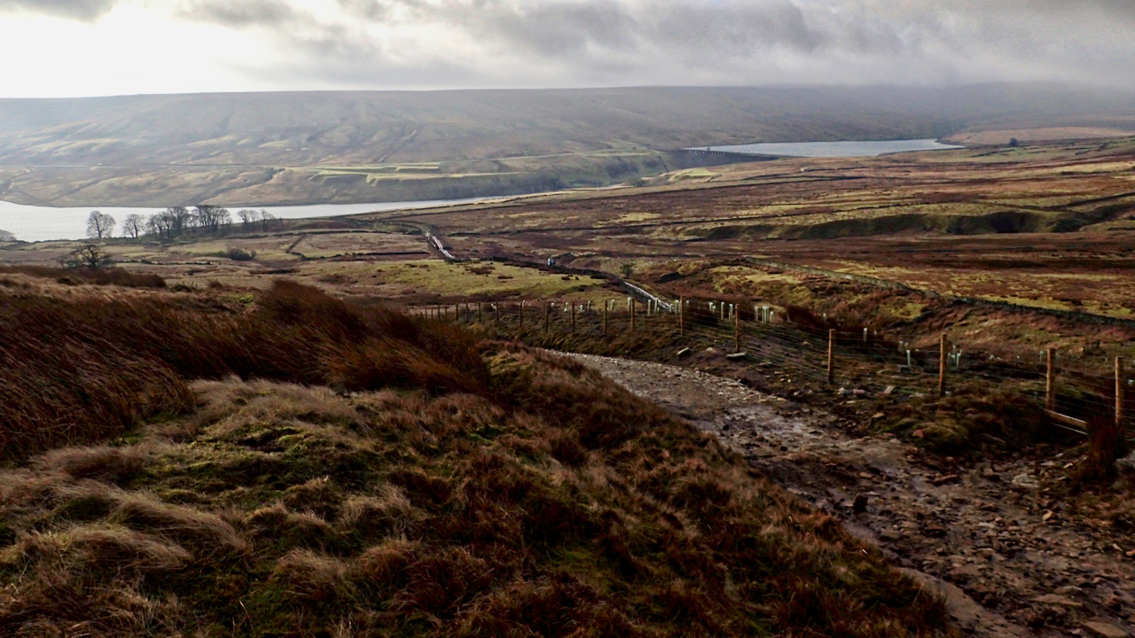 On Dead Man’s Hill 20th February 2019 Or the continuing story of Jenny Twigg and her daughter Tib. We parked up at Scar House Reservoir at the top of Nidderdale last night and from across the reservoir,…
 Yan Tan Tether Mether Pip … 16th July 2025 Old Molly Metcalfe counting sheep Yan tan tether mether pip she counted Up upon Swaledale steep and bleak Yan tan tether mether pip she said… So sang Jake Thackray about…
 Crash on Vatersay: The Lost Catalina of 1944 7th June 2025 I had hoped to photograph the tombolo that links the two high points of Bhatarsaigh—a narrow strip of machair, that low, sandy grassland so typical of the Outer Hebrides. But…
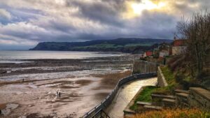 Whitby’s Forgotten Monastery and Its Founder, Mother Thekla 1st December 2024 I stumbled upon a podcast months ago, half paying attention, about Mother Thekla (1918–2011). Teacher, nun, founder of an Orthodox monastery at Normanby near Whitby, and spiritual inspiration to Sir…
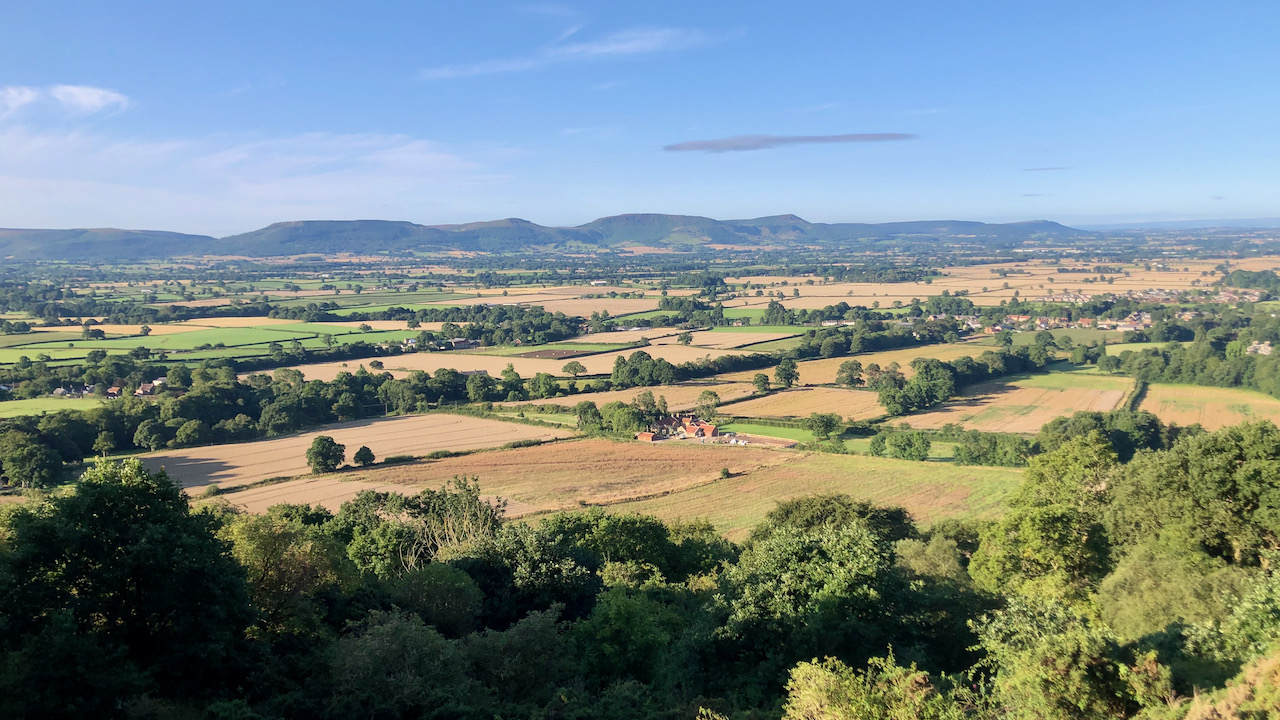 Forgotten Fields and Stolen Commons: The Tragic… 8th August 2023 On this day in the year 1845, Parliament passed the Inclosure Act 1845, an ominous piece of legislation that concluded a grim transformation to the country. This Act, a tool…
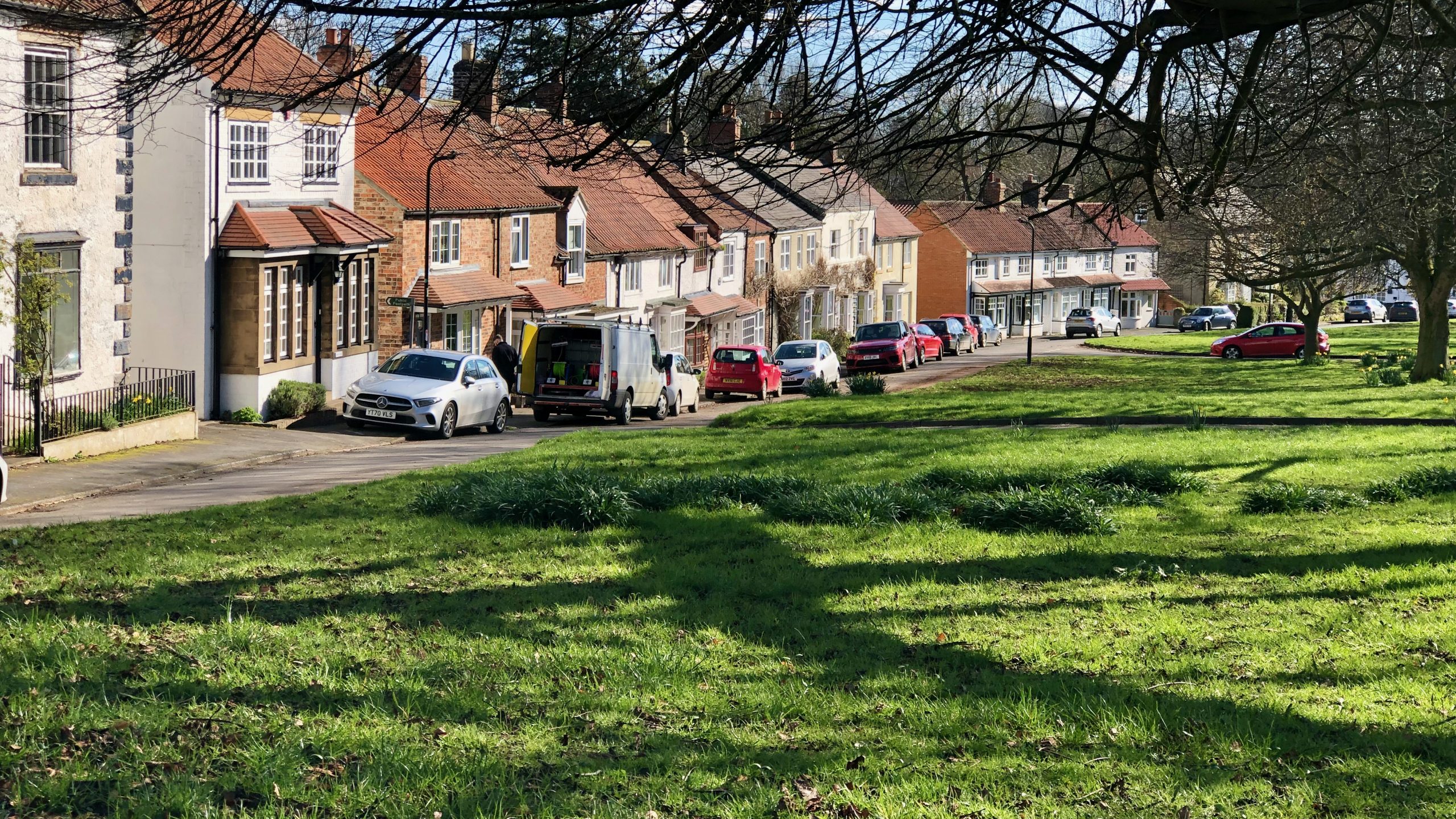 The Shops and Businesses of Hutton Rudby — A… 3rd April 2023 If you look at old black and white pictures of Cleveland villages and compare them to what they look like today, you can see that there’s a big difference in…
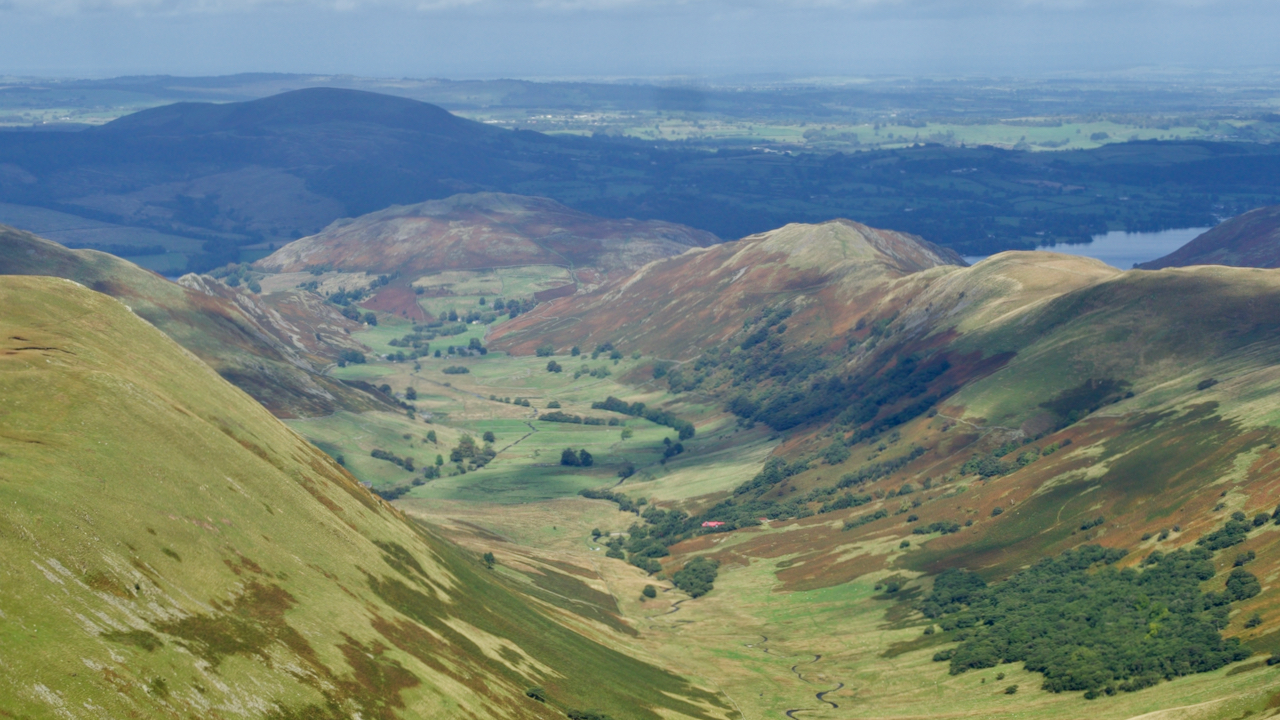 Martindale 11th October 2022 I’ve been off-grid in the Lakes for a few days, specifically in Martindale, perhaps the most secluded and certainly the least touristy of the dales. Martindale drains into Ullswater. To…
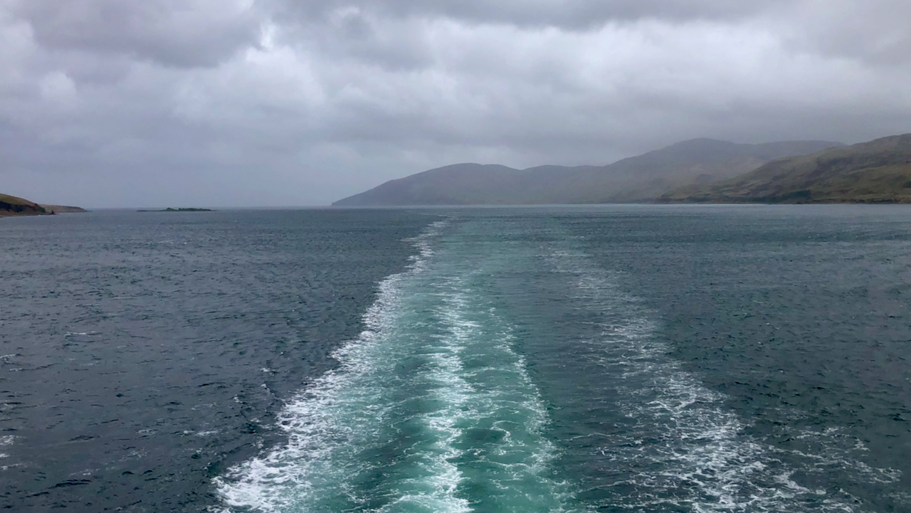 Sound of Islay 13th May 2022 A breezy crossing over to Islay. The hypnotic movement of the wake. The Sound of Islay is the 20 mile long narrows between the islands of Jura and Islay. With…
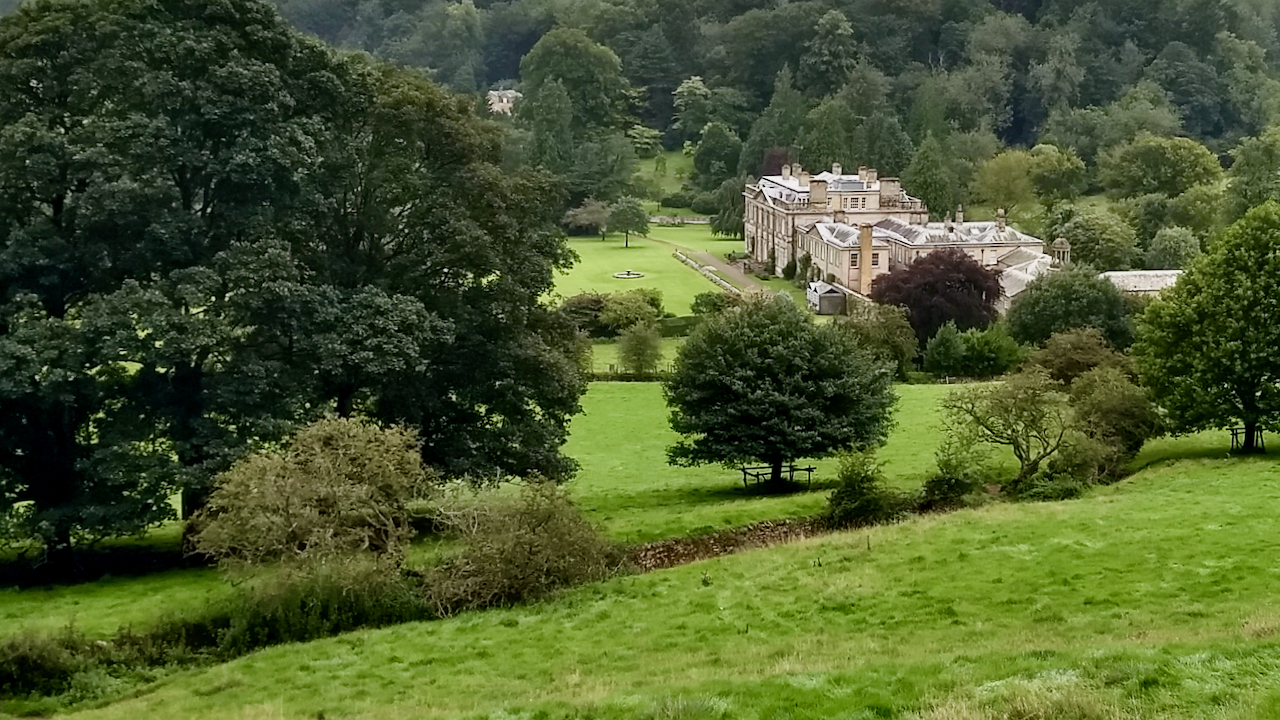 The Hackness Shame 27th August 2020 I had a look around the Forge Valley near Scarborough, a place I’ve always wanted to see but never had the opportunity. I must admit, I wasn’t that overwhelmed. A…
All Time
- From Barbados to Morrisons—The history of Thimbleby… 11th August 2023 The agricultural landscape of the Vale of Mowbray stretches across to the Dales , a view made visible through the recent felling of what was called ‘The Big Wood’ on…
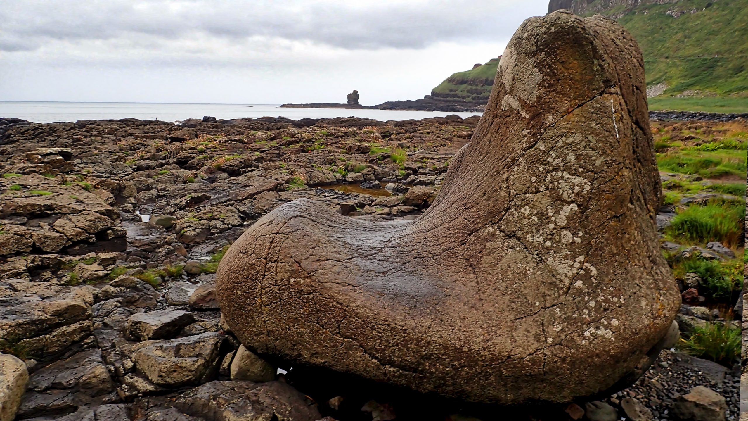 The Giant’s Boot 8th April 2020 Northern Ireland’s most visited attraction is the iconic Giant’s Causeway, polygonal columns of basaltic rock formed sixty million years ago when molten lava spread across the land and created clouds…
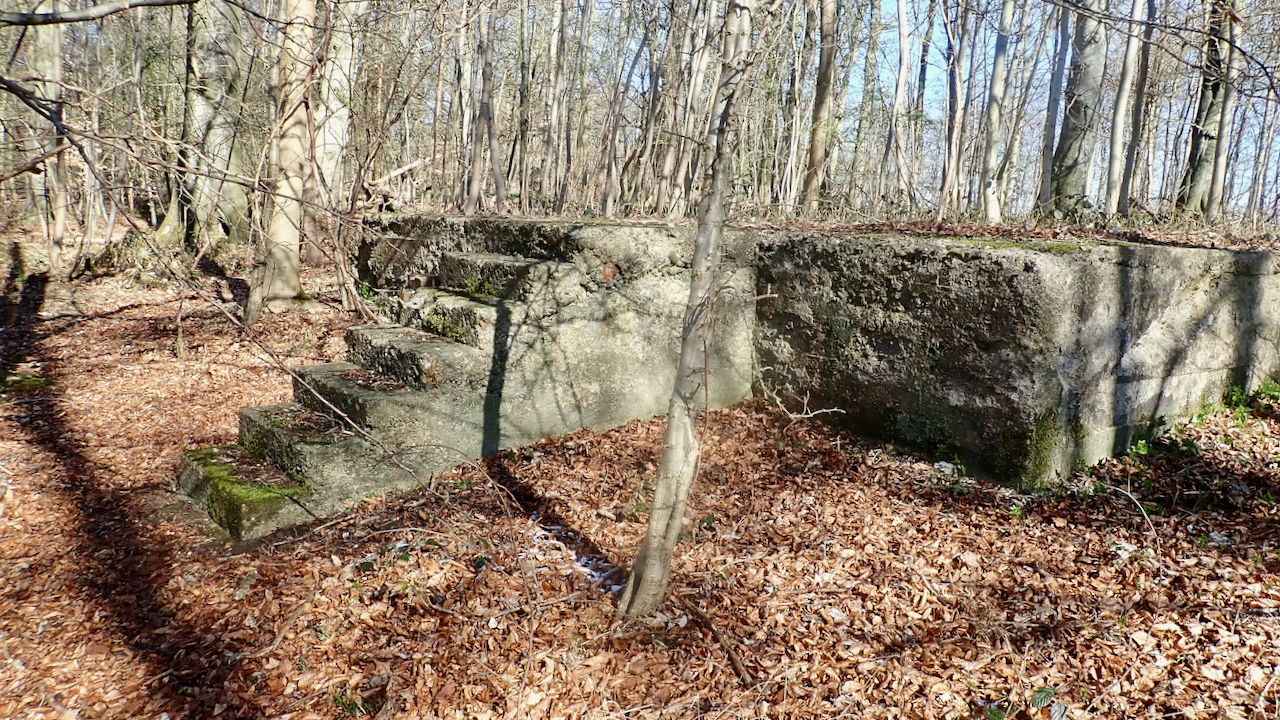 Duncombe Park Army Camp 5th April 2021 About 3km after crossing Rievaulx Bridge with its opportunity to gaze at the majestic abbey, the Cleveland Way crosses a concrete road at Griff Lodge. Here the National Trail bears…
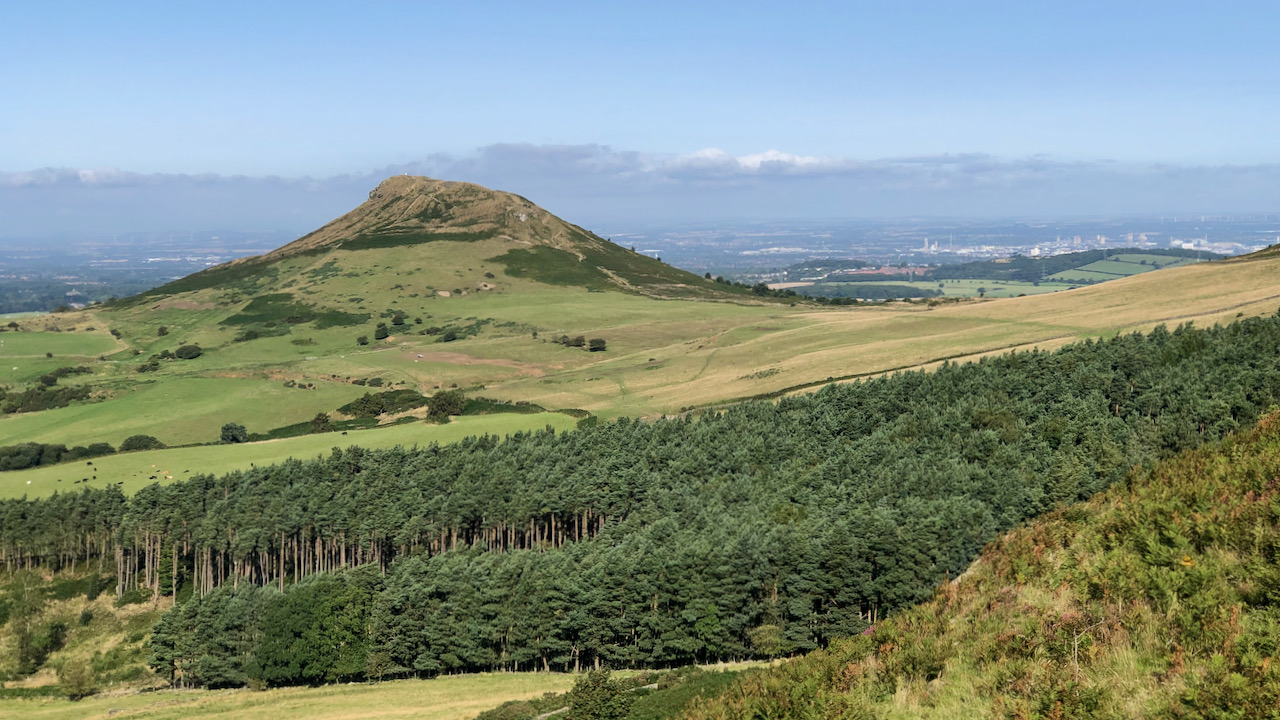 Middlesbrough’s Dark Past: the 1961 Cannon… 21st August 2023 A reminder popped up on my phone today that back in 1961, things had hit a boiling point on Cannon Street in Middlesbrough. Three nights of rioting had built up…
- On Dead Man’s Hill 20th February 2019 Or the continuing story of Jenny Twigg and her daughter Tib. We parked up at Scar House Reservoir at the top of Nidderdale last night and from across the reservoir,…
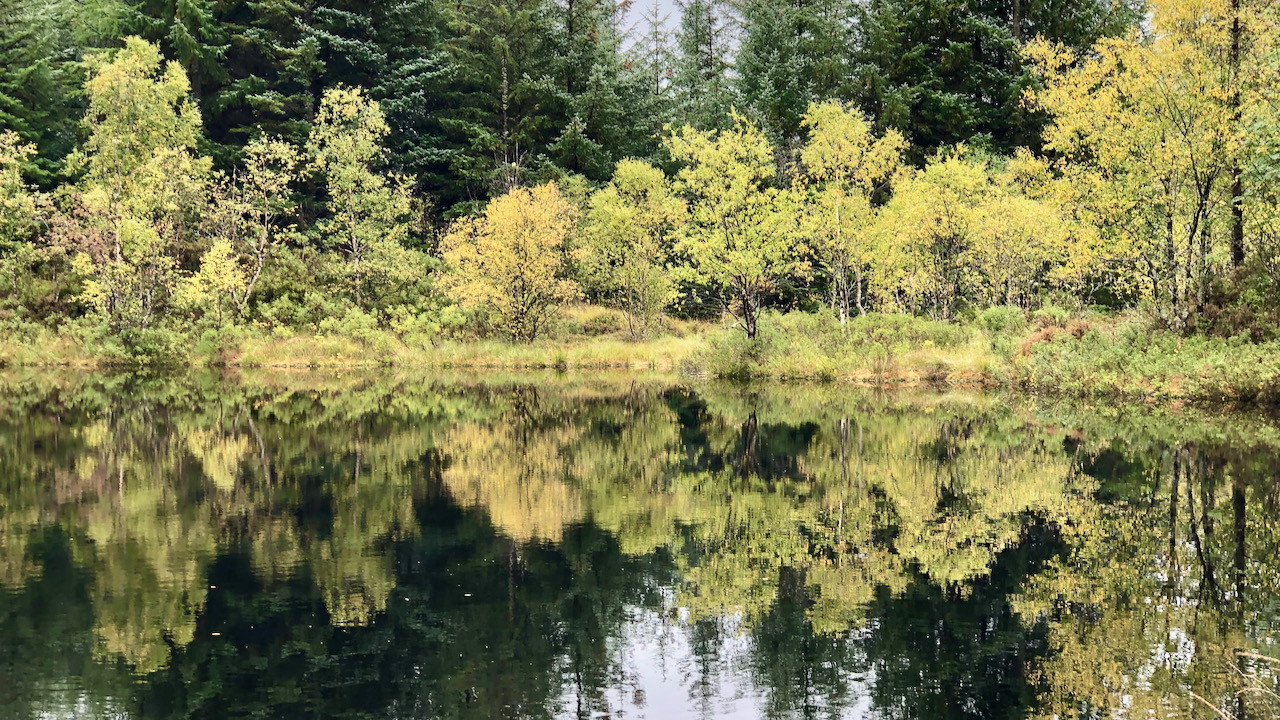 Lochan of the Lost Sword 25th September 2023 Beneath the reflections of the autumnal hues rests an abandoned sword, a long-sword, the claymore that belonged to Robert the Bruce. Near this wee loch lies Dal Righ, a place…
- Crash on Vatersay: The Lost Catalina of 1944 7th June 2025 I had hoped to photograph the tombolo that links the two high points of Bhatarsaigh—a narrow strip of machair, that low, sandy grassland so typical of the Outer Hebrides. But…
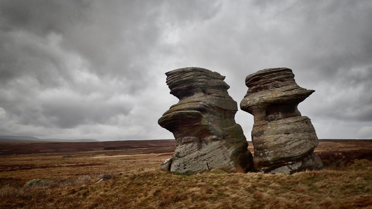 Jenny Twigg and her daughter Tib 20th February 2019 Ee, I love maps me. I happened to notice the name “Jenny Twigg and her daughter Tib” marked on the map of Fountains Earth Moor overlooking Nidderdale, and so I…
- The Hackness Shame 27th August 2020 I had a look around the Forge Valley near Scarborough, a place I’ve always wanted to see but never had the opportunity. I must admit, I wasn’t that overwhelmed. A…
 Solmōnaþ — Cake, Mud, and Lowered Hopes 1st February 2026 It is Solmōnaþ. Cake Month. A rare cause for cheer in the damp gloom of February. In the Anglo-Saxon calendar, Solmōnaþ sat where February is now. It marked a time…