-
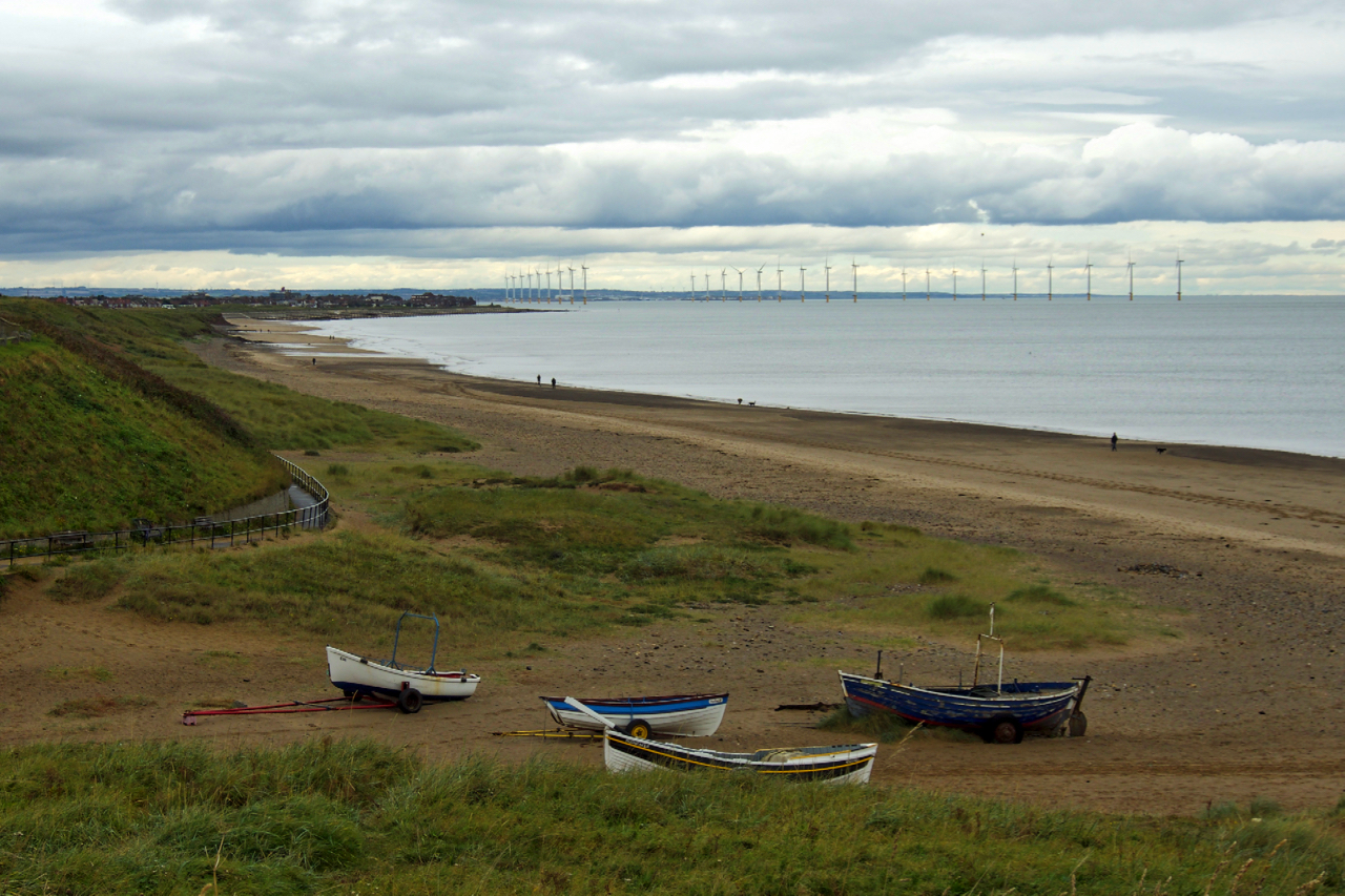
The Battle of Marske Beach
The English Civil War largely bypassed the Tees valley. The battles at Piercebridge, Yarm and Guisborough are well documented. What isn’t documented well, if at all, is the Battle of Marske Beach as it is known in local tradition. In 1643 Marske is a sleepy fishing village on the North Yorkshire coast. It’s the principle…
-
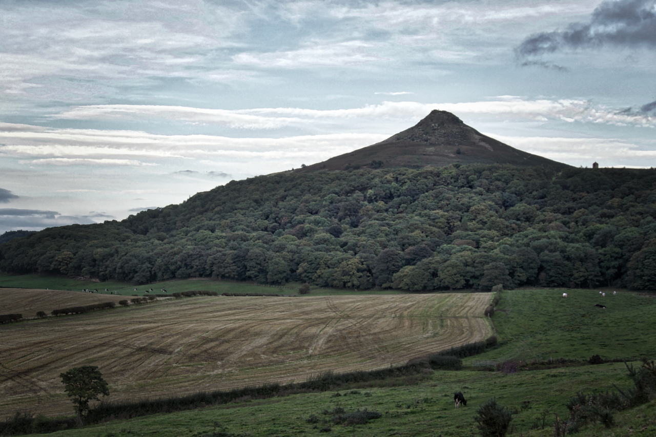
Autumn’s coming
A few days to go before the start of Autumn, and at 5 o’clock it feels like it has already arrived. Dull, muted colours with rapidly failing light. Open Space Web-Map builder Code
-
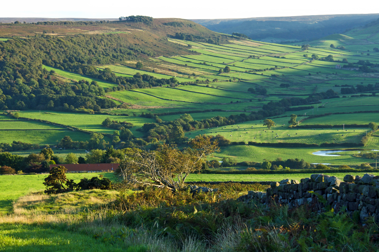
Little Fryup Dale
A glorious evening. The west side of Little Fryup Dale basks in the last rays of the setting sun. The name Fryup derives from the Anglo-Saxon pagan goddess Frige and hop meaning a small valley (link). So Little Fryup Dale means the little dale of the small valley of Frige. This double descriptive name is…
-
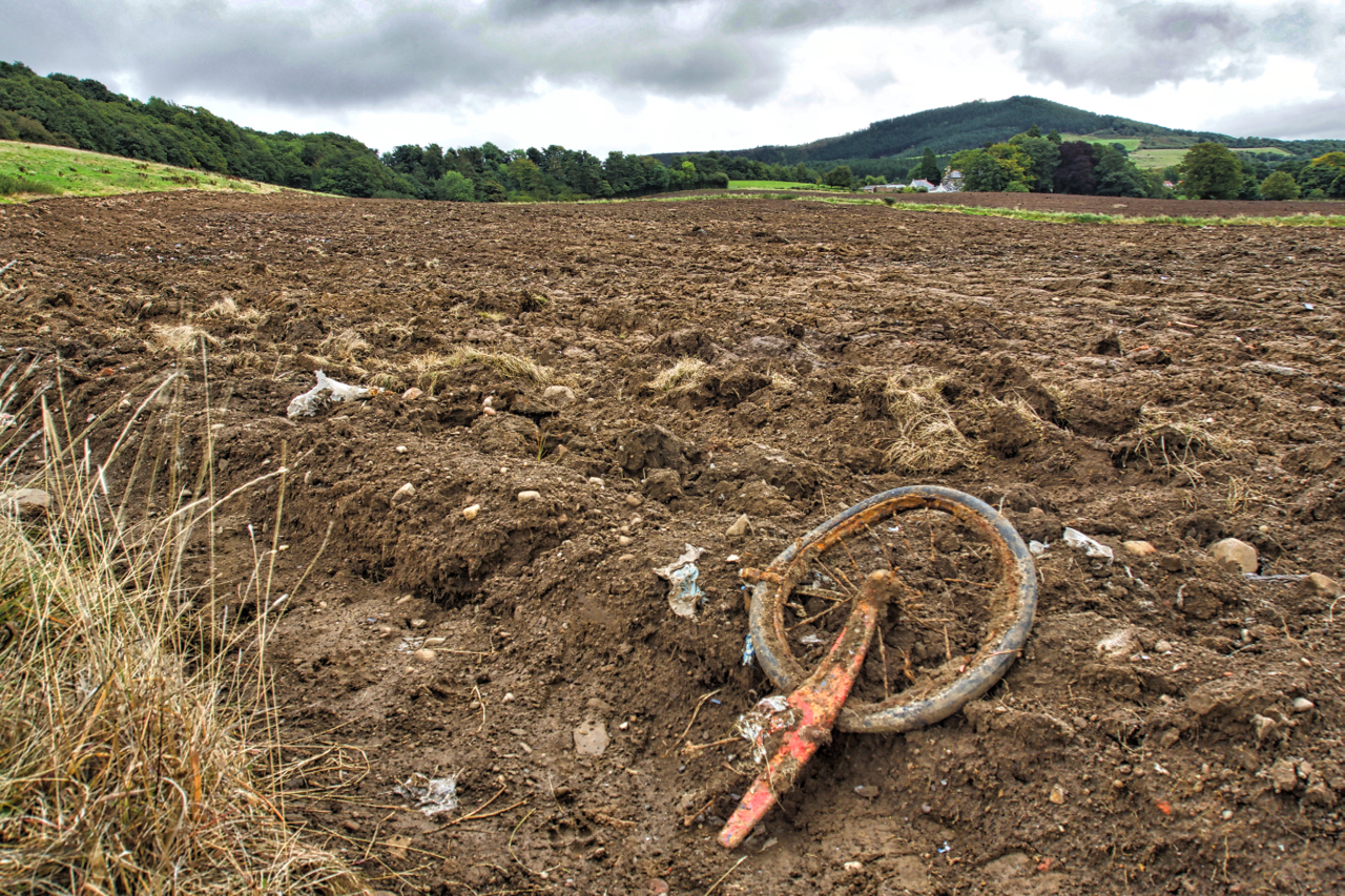
60’s Rubbish
Rye Hill, Great Ayton. In the late 19th century the North Eastern Railway company began operated a gravel pit on this sloping field below Cliff Ridge Wood. By the 1940s a small tramway was operating to the sidings for Whin’s quarry, a few hundred metres north-west. Sometime later the gravel pit was abandoned, filled in…
-
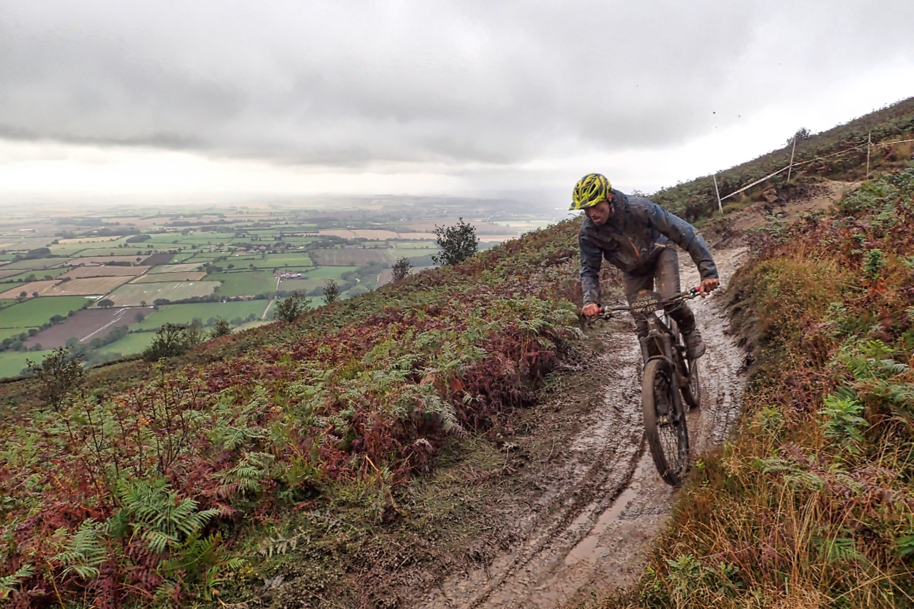
A fast descent of Cringley End
Headed up to Lord Stones Country Park to take a look at a mountain bike race being held up there. The race comprised five timed downhill sections separated by untimed uphill routes, climbed at leisure. About 35km total distance. One of the downhill sections descended Cringley End, an old name for the ‘nose’ of Cringle…
-
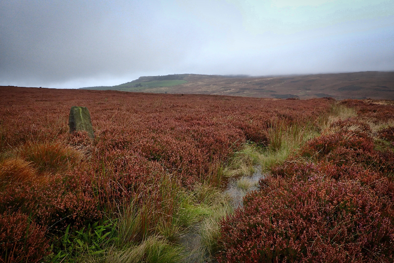
Eskdale’s stolen water
The sandstone boundary stone on the left is inscribed “RC” the initials of Robert Chaloner, the 19th-century landowner and lord of the manor of Guisborough, but it is the waterlogged ditch in front which took my interest today. Mapped as “The Race” it is a leat semi-circumventing Hutton Moor, capturing the water runoff from draining…
-
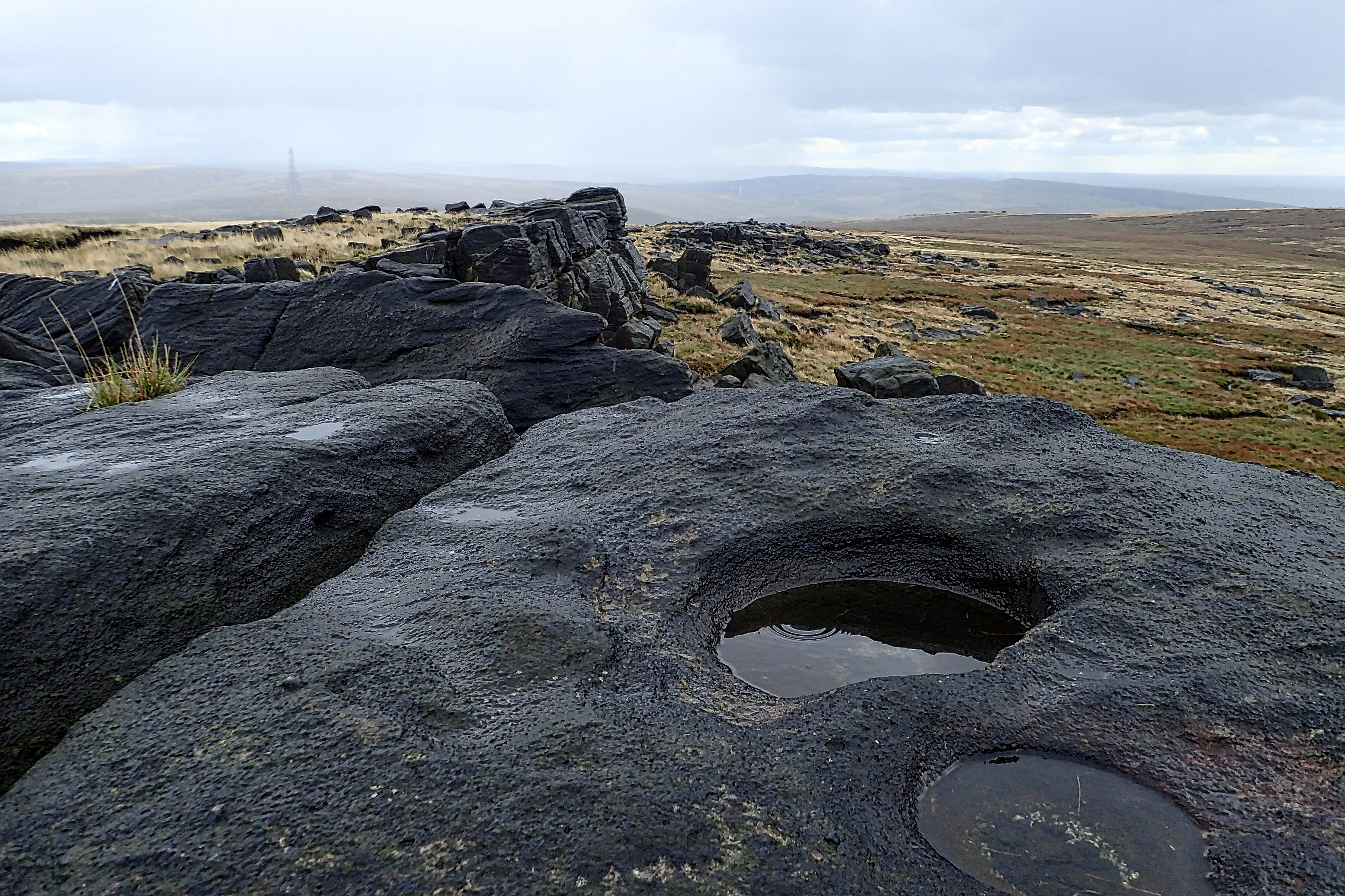
Blackstone Edge
With the young scion installed back at uni, a chance to explore the Pennines on the way back home. Blackstone Edge, a gritstone escarpment conveniently just off the M62 and overlooking the conurbation of Manchester. The map named Robin Hood’s Bed just south of the summit which sounded interesting but as I didn’t know what…
-
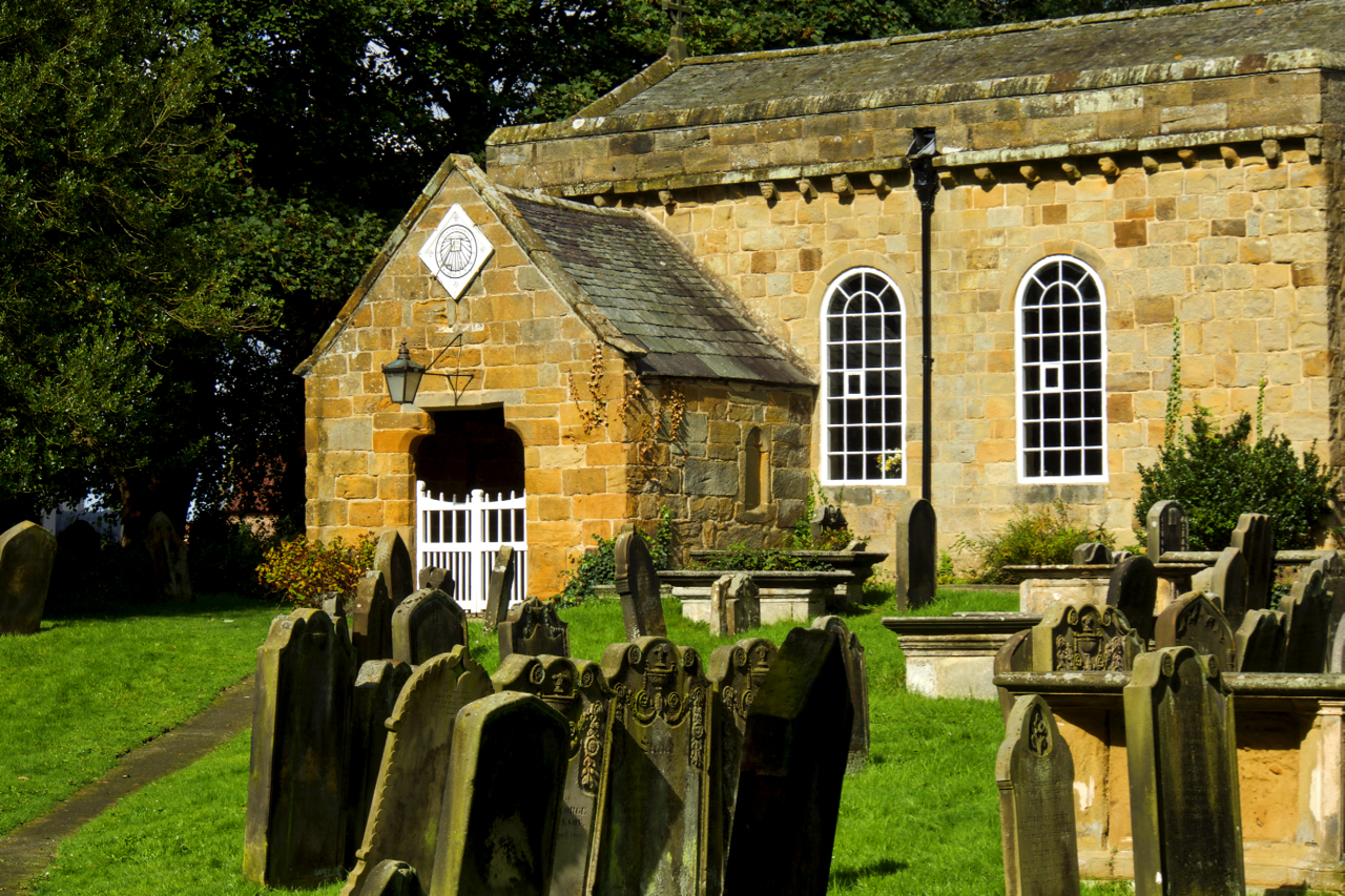
All Saints Church, Great Ayton
All Saints Church is tucked away behind the Conservation Club and only briefly visible from Yarm Lane. A brief glimpse then of sunlit sandstone as I cycled past on an otherwise overcast day. The church is Great Ayton’s original church. The main building is predominately 12thcentury but Pevsner, the renown architectural historian, suggests the walls contain fragments of masonry…
-
Cockshaw Quarry
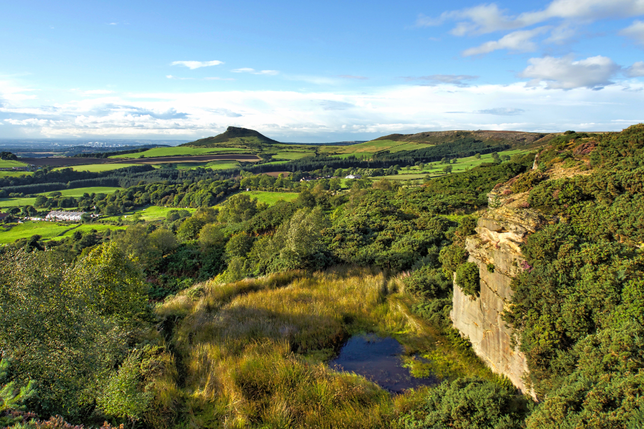
A glorious evening, very autumnal although Autumn is still a week or so away. Cockshaw is a very abused part of the escarpment between Captain Cook’s Monument and Roseberry Topping. The sandstone cap was intensively quarried. Lower down the remains of a clamp, leaching pits and cisterns for the alum industry can be traced, except…
-
Durham Cathedral
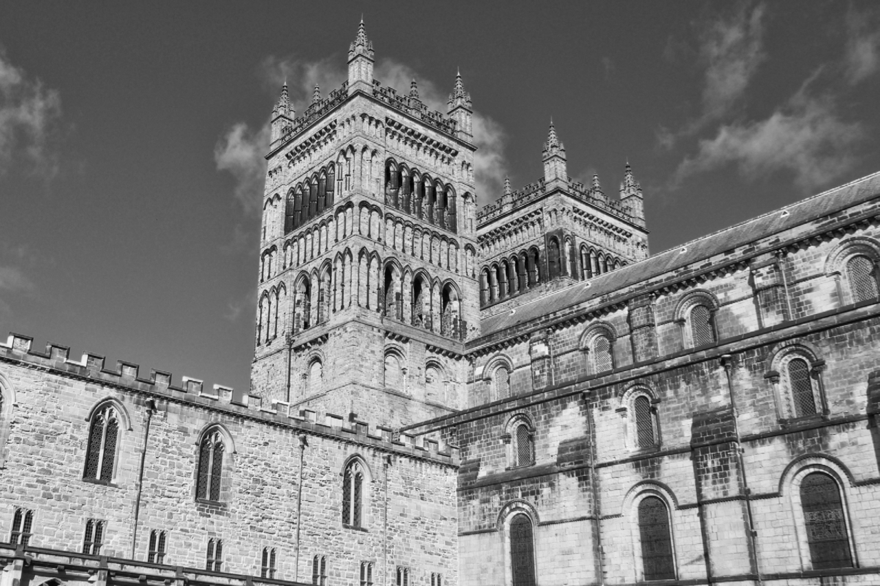
A few hours to kill in a city and where better than Durham. Did the cathedral tour but no cameras allowed inside and plenty of church police to enforce the rules. Sorry, “guides”, enthusiastic but over friendly for my liking. Open Space Web-Map builder Code
Care to comment?