-
Pinch, punch, first of the month …
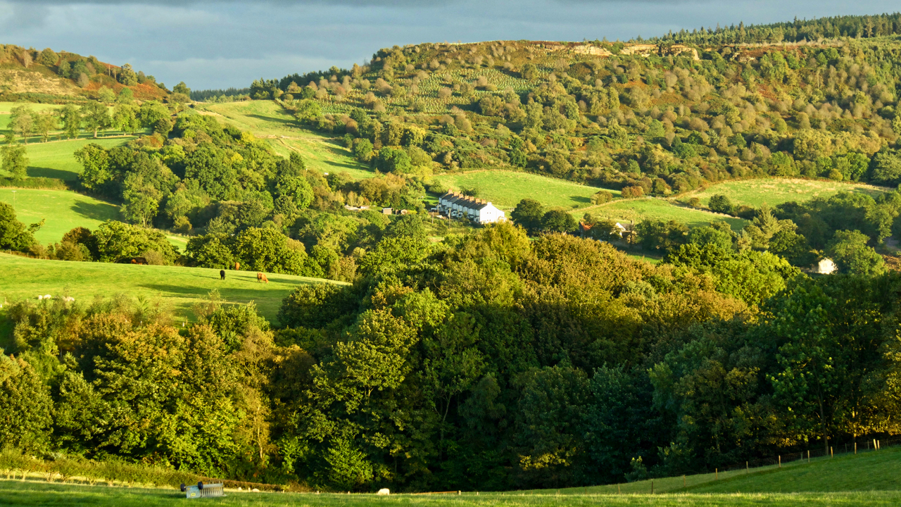
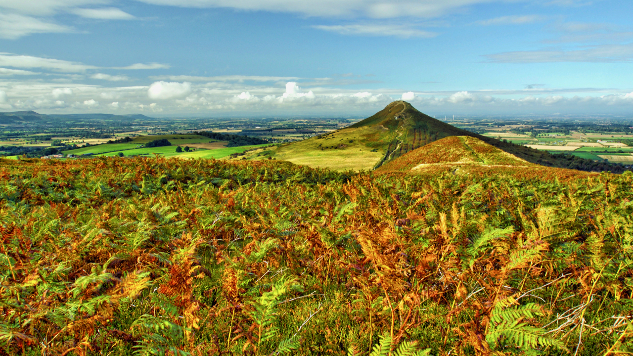
… and no returns. October, the eighth month of the calendar of Romulus, the first king of Rome. And what a miserable morning. But it had brightened up by the end of the afternoon. A view south-east from Cliff Rigg towards Gribdale and Cockshaw Hill. Open Space Web-Map builder Code
-
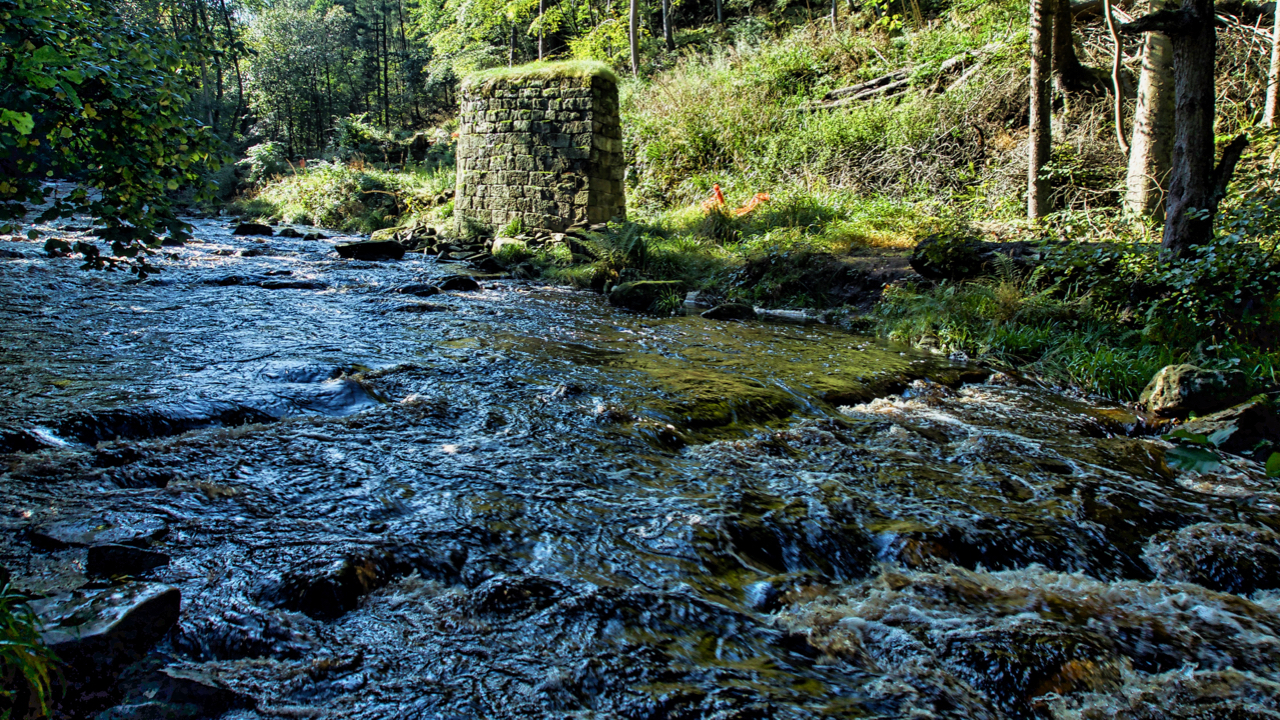
West Beck, Beck Hole
Exploring the excavations of the 19th-century ironstone mining activities in Combs Wood near Beck Hole. These have been carried out by the Land of Iron project over a three year period. We found them easily enough. Most intriguing was a deep pit thought to have contained a waterwheel with a range of remains above which…
-
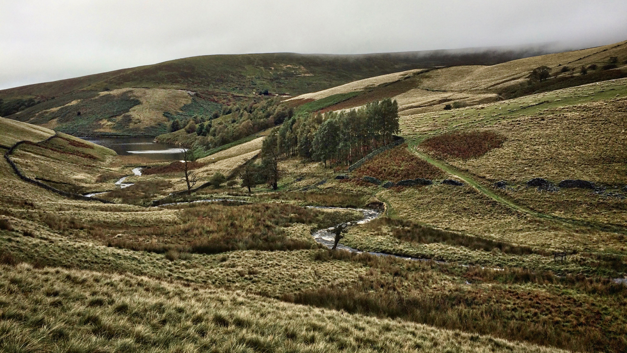
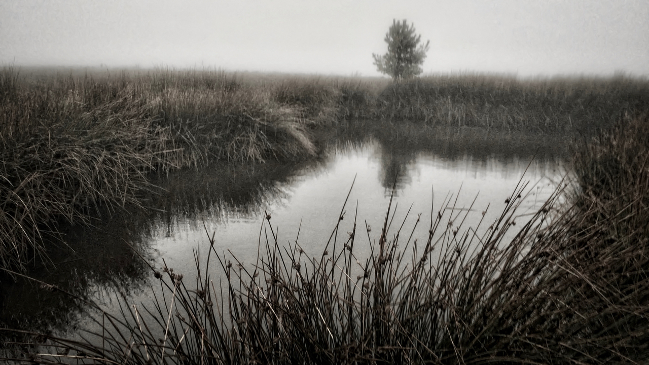
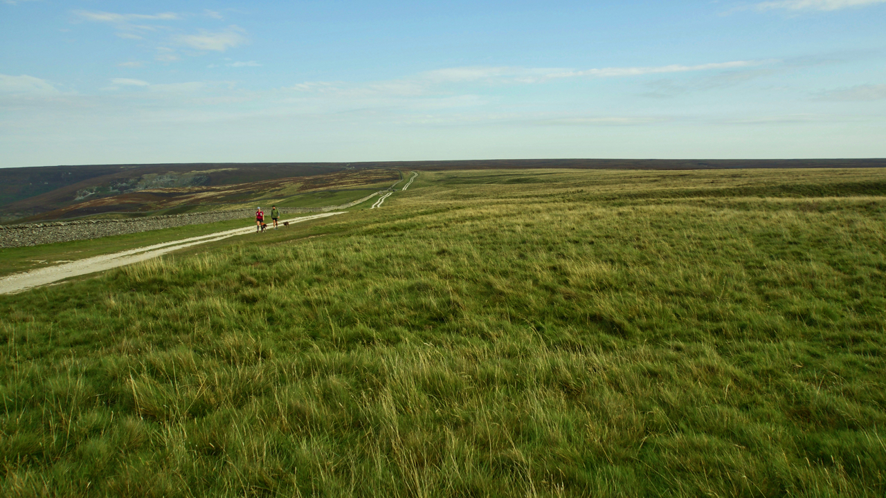
River Kinder
Some may have noticed I didn’t post yesterday. While Harrogate and the Yorkshire Dales were basking in sunshine watching the cycling world championships (this was Saturday!), 50 miles away, west of the Pennines, we were suffering twenty-four hours of torrential rain. I managed to take half a dozen photos with my phone of mist-covered hills…
-
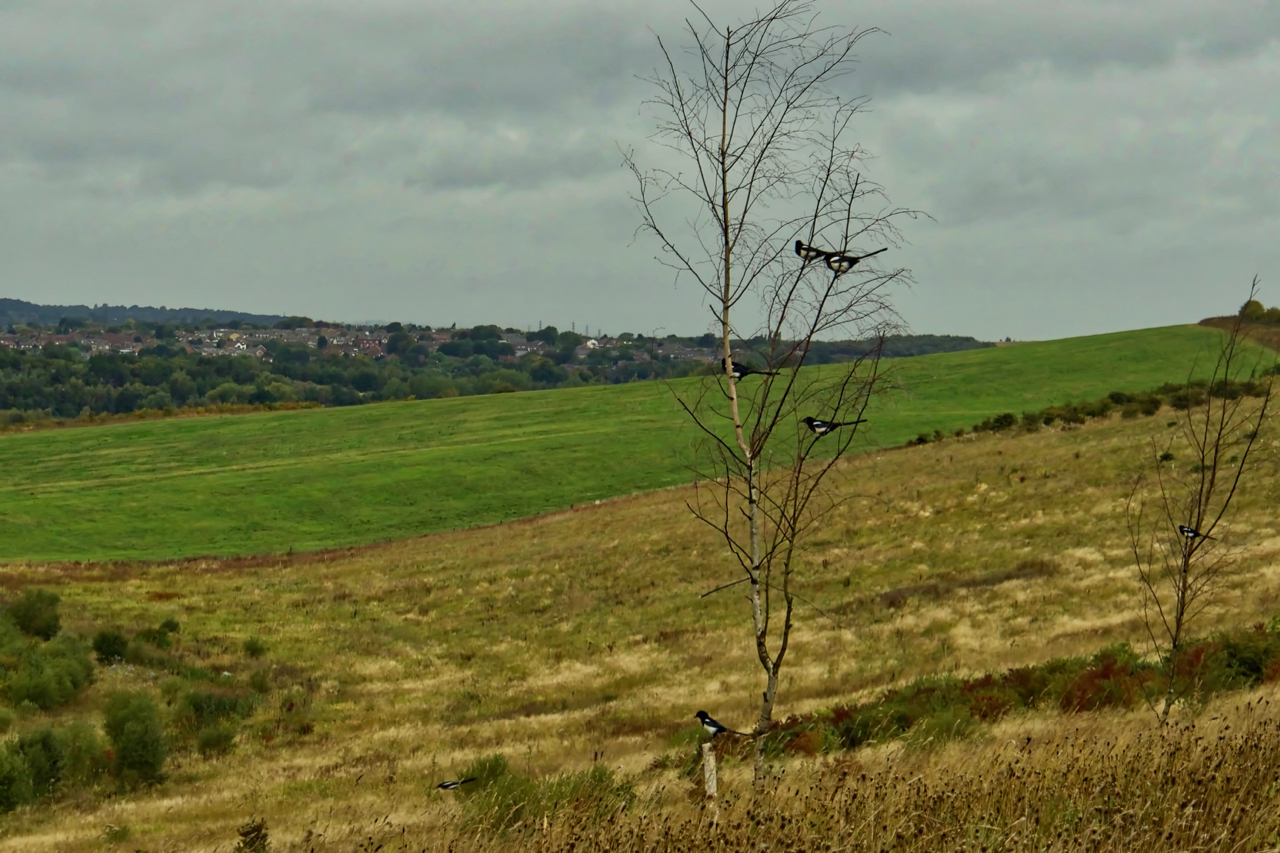
A mischief of magpies
One for sorrow, two for joy … How does the rhyme go? There’s seven here (including the one flying) that must be a secret never to be told. There are various collective terms for a group of magpies: a charm, gulp or tiding. Even a parliament and murder have been used although these two are…
-
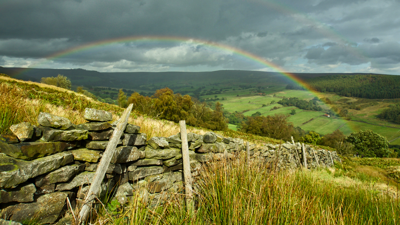
Bransdale
A refreshing day spent in Bransdale, making repairs to some of the field boundaries. Bransdale’s walls are quite distinctive. In other uplands, dry stone walls are constructed of two skins of stonework, usually dressed and tapering inwards towards the top, with the gap filled with small pieces. Bransdale’s walls are just a single skin, huge…
-
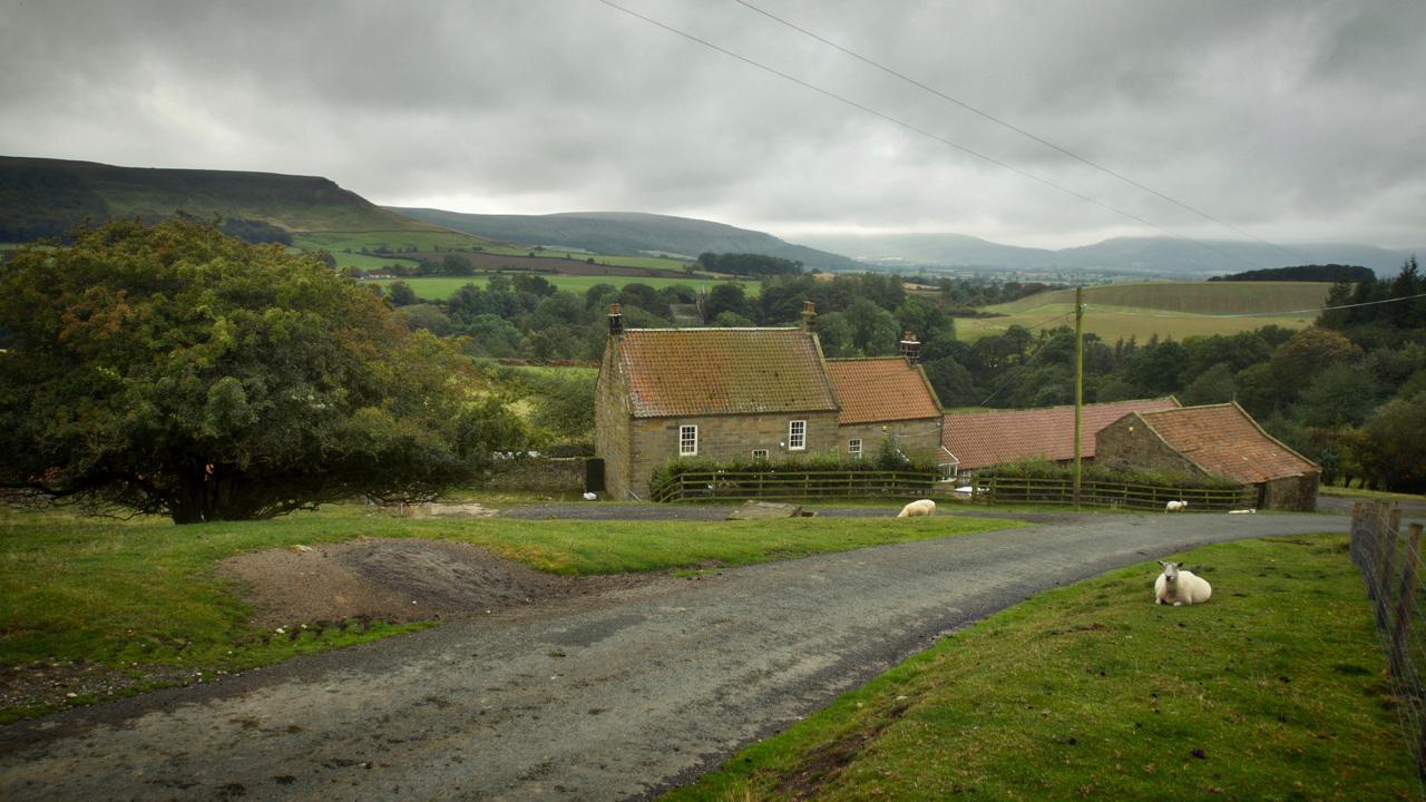
Bankside Farm, Kildale
On 31st August 1939, 48 children each carrying a gas mask and a small suitcase containing prescribed essentials and with a label attached to their coats arrived bewildered at Kildale railway station. Most were from Newcastle and Gateshead, conurbations with heavy industries which had been assessed had a high risk of being bombed. They were…
-
Designated Landscapes Review
In January 2018 the Department for Environment Food & Rural Affairs published a 25 Year Plan for the Environment with the intention of setting out an approach to protect the landscapes and habitats in England and committed to undertake a review of National Parks and Areas of Outstanding Natural Beauty (AONBs). Last week the Landscapes…
-
Autumn Equinox
At 08:50 this morning the ecliptic path of the Sun crossed the celestial equator and day and night were of equal length. For those of us in the northern hemisphere it’s the Autumn Equinox. So my project for today was to take an autumnal photo. I had in mind a palette of “feuille-morte” of the…
-
Hambleton Street
I find this track, between Sneck Yate with Square Corner, to be one of most tedious on the North York Moors. It follows the old drovers’ route between Scotland and the south of England. The term ‘street’ may suggest a Roman origin but although the Romans may well have used it (there have been Roman…
-
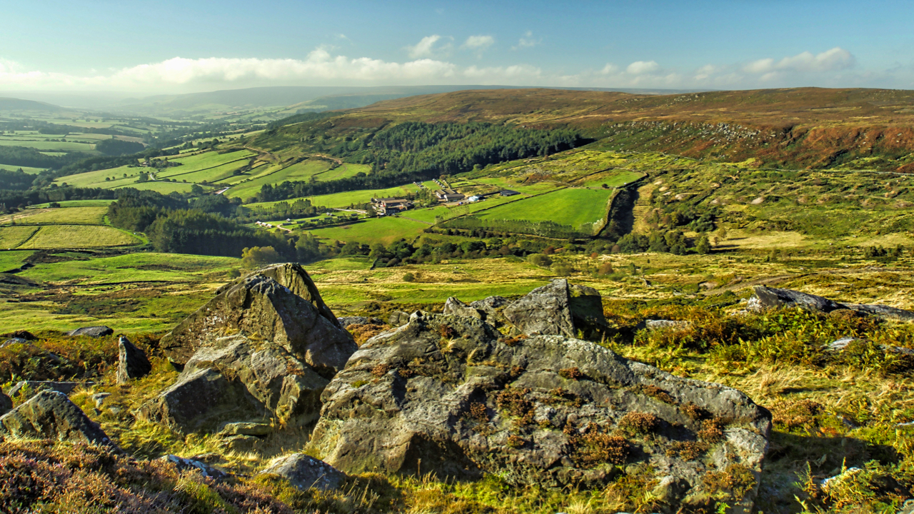
The Bilsdale Bombardier
A view down Garfit Gap and into Bilsdale. The farm in the centre is Whingroves, which seems to have diversified into an industrial pheasant rearing farm. In 1896 though it would have been a typical North York Moors dales mixed farm, run by Isaac Garbutt, a family name that has been recorded in the Bilsdale…
Care to comment?