-
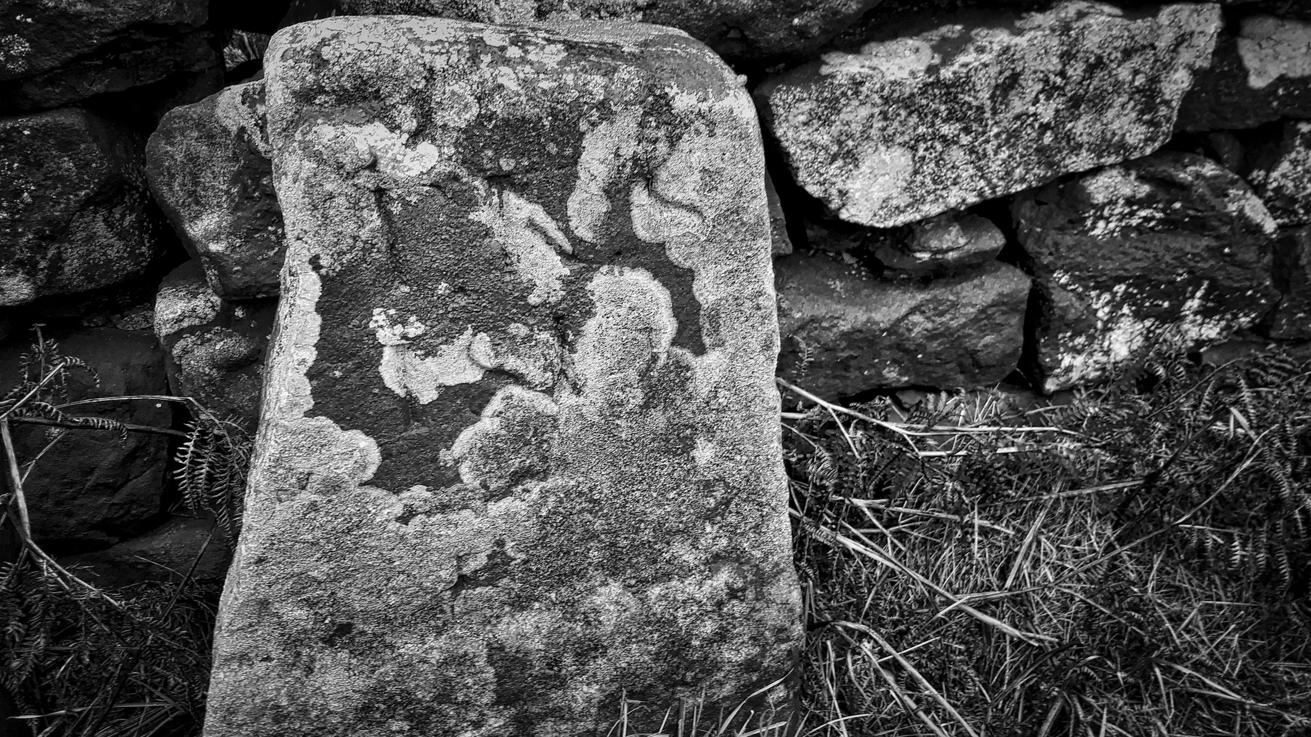
Moor Edge Stone
Another dull morning with a sky of corrugated grey cloud clipping the top of Roseberry. So an old favorite, the Moor Edge Stone marking the boundary between the parishes of Newton-under-Roseberry and Pinchinthorpe. Rendered in black and white in an attempt to emphasize the heavily weathered inscription of “TKS 1815” standing for Thomas Kitchingham Staveley…
-
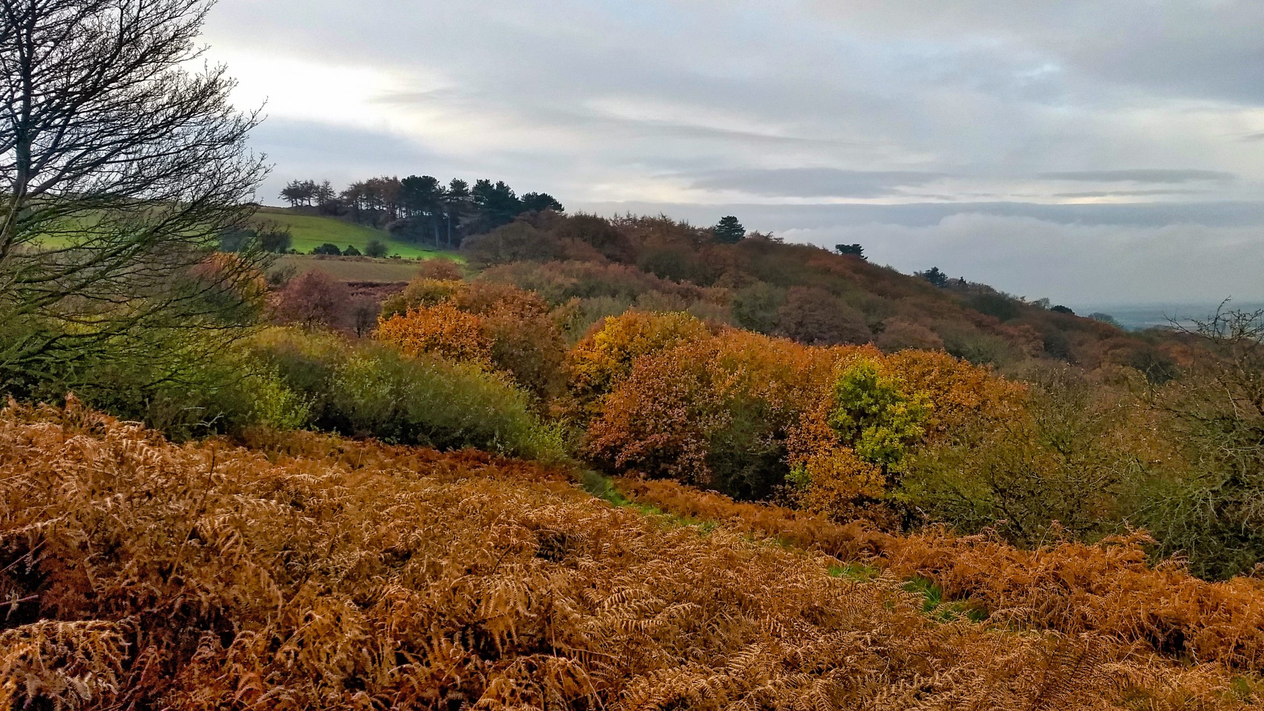
Newton Woods
An early climb up Roseberry and back through Newton Wood looking glorious in its autumn colours, oak leaves refusing to fall. Overcast and dull. Open Space Web-Map builder Code
-
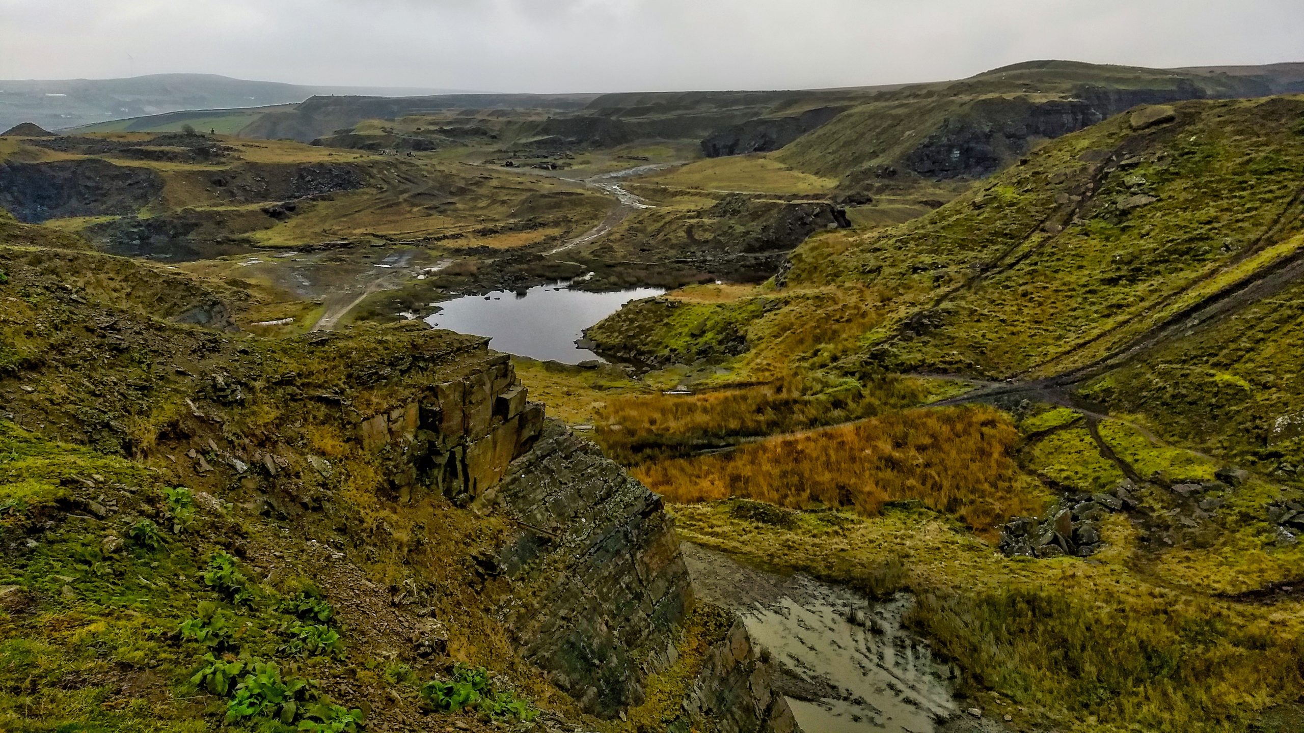
Greens Moor Quarry
I don’t know the West Pennines very well. In fact, I can only recall four visits although there must have been a few more. Deep-sided urbanised valleys dividing large tracts of very boggy, and I mean very boggy moorland. The road signs on the way north from the M62 jogged memories of fell running clubs…
-
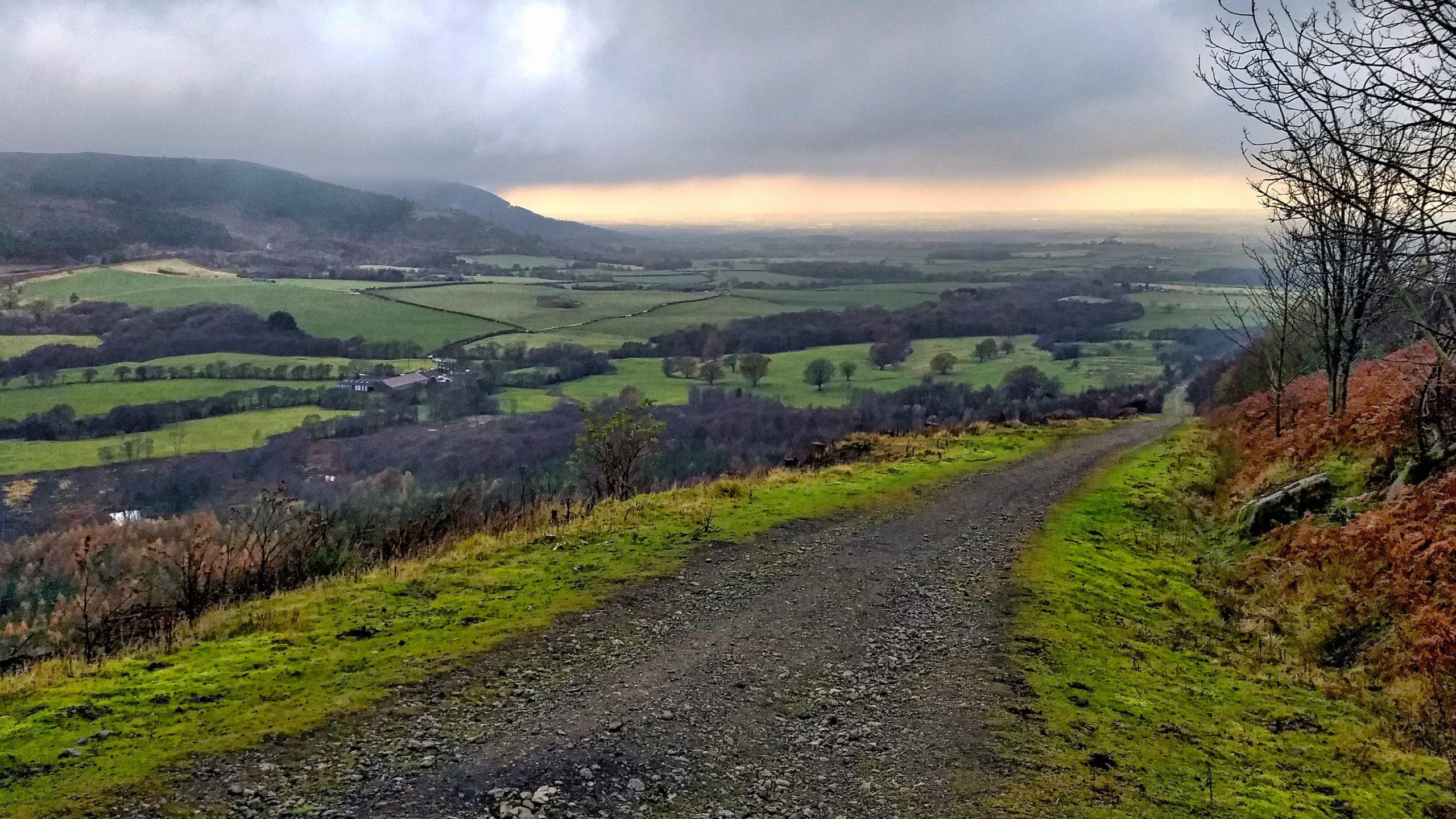
Ingleby Incline
The old railway incline for the Rosedale Branch ironstone railway. Almost a mile long with a maximum gradient of 1 in 5. A rake of trucks full of iron ore would be lowered down by a steel rope, which looped around a drum at the top and pulled up a rake of empty trucks. Speeds…
-
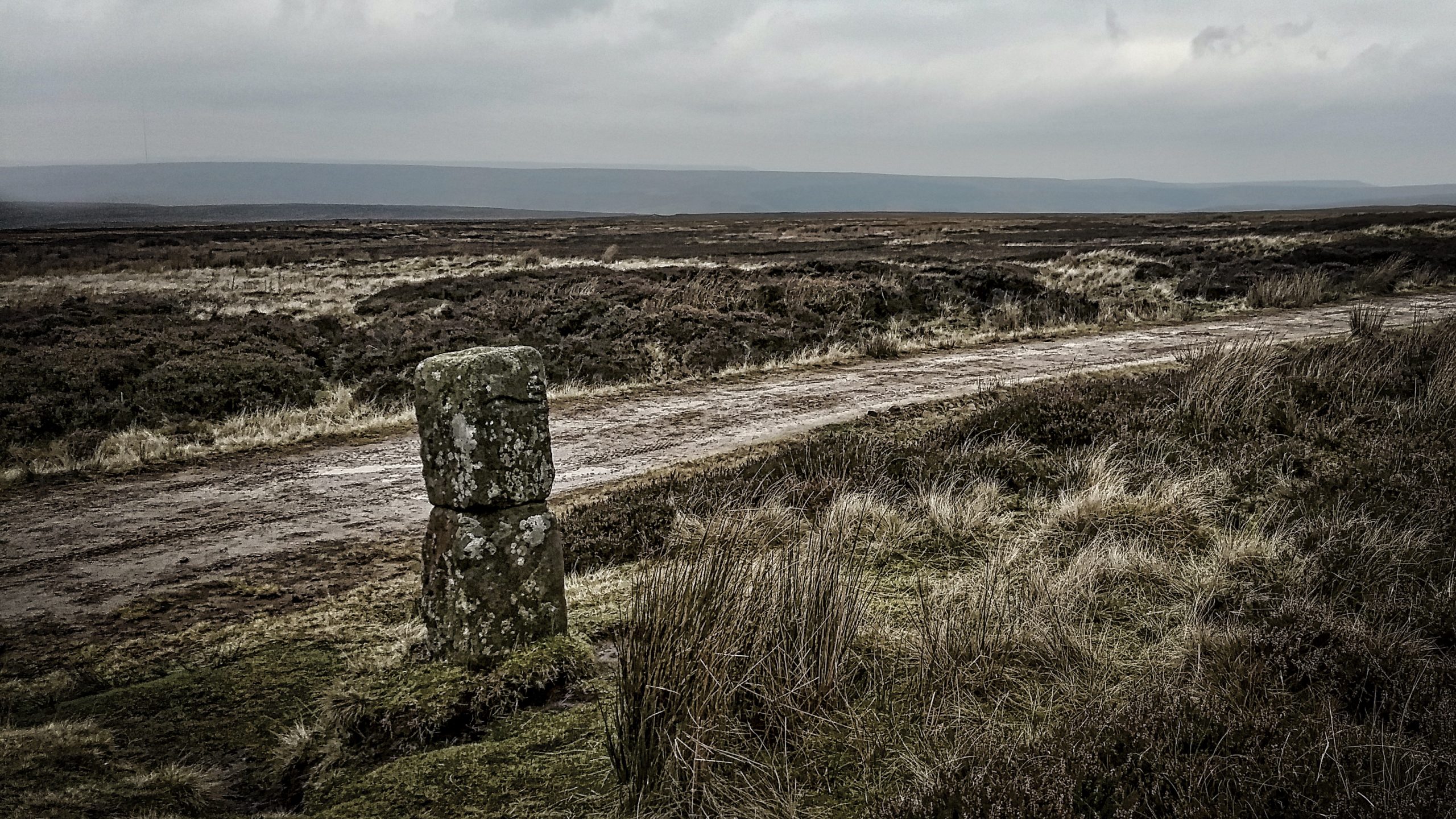
The Hand Stone on Urra Moor
Urra Moor has the highest point on the North York Moors. Fly east, keeping the same height and you won’t touch land again until the Ural Mountains. When an east wind blows this can be a bleak spot. The name ‘Urra’ probably comes from the old English ‘horh’ meaning phlegm or filth, perhaps an indication…
-
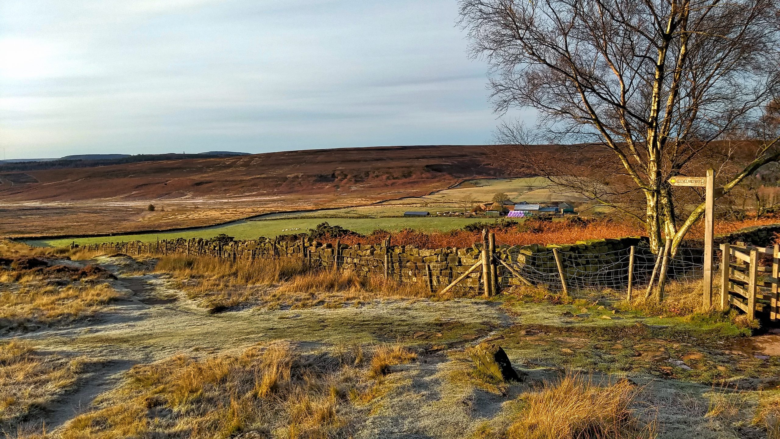
Cleveland Way at Codhill Plantation
Looking down the Cleveland Way towards the shallow col at the top of Codhill Slack or as Kendall referred to it as Bold Venture Channel. Percy Fry Kendall was Professor of Geology at the University of Leeds from 1904 to 1922 and investigated the glaciation of the North York Moors. He concluded that a lake…
-
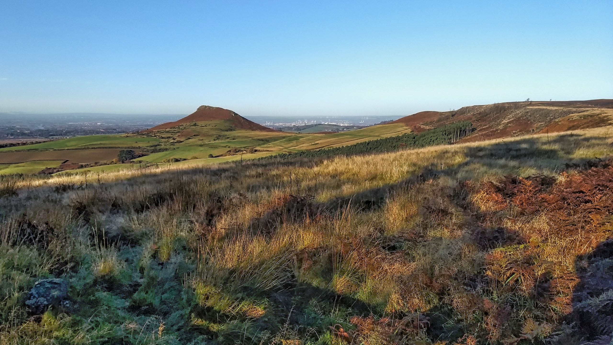
Roseberry and Black Bank
Odin’s hill from Ayton Bank. On the right is Little Roseberry with Black Bank almost clear-felled of its coniferous plantation. It’s barely ten years ago but I find it hard to remember what it was like. A tour of the escarpment on a glorious morning with blue skies. Lower down the fields are a bit…
-
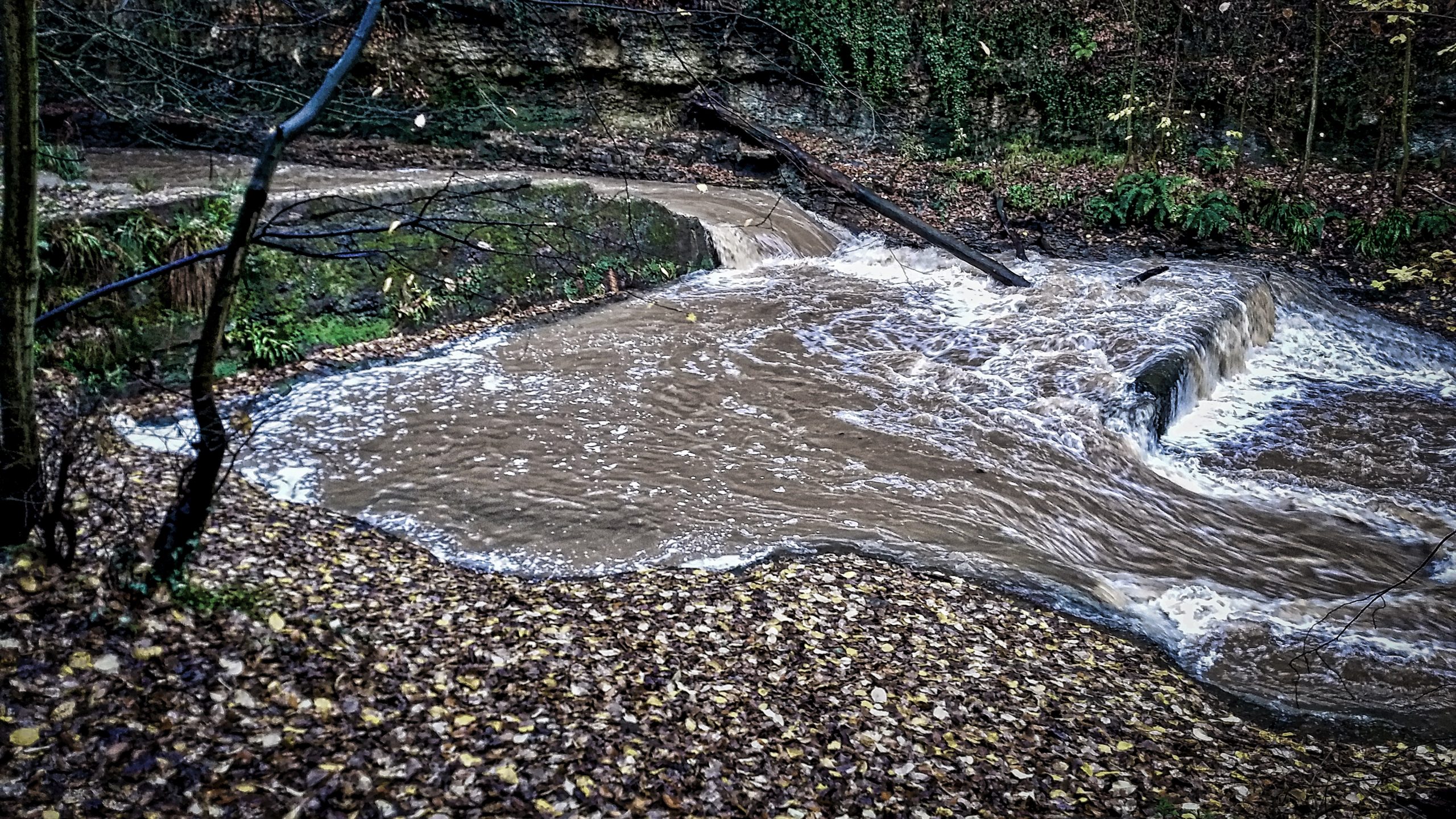
Old weir for Marske Corn Mill
There was a lot of water coming down Skelton Beck this morning tumbling over the ruined weir built to provide a head of water for the long-demolished Marske Corn Mill a few hundred yards downstream. It is interesting that the mill took its name from a village two and a half miles away along the…
-
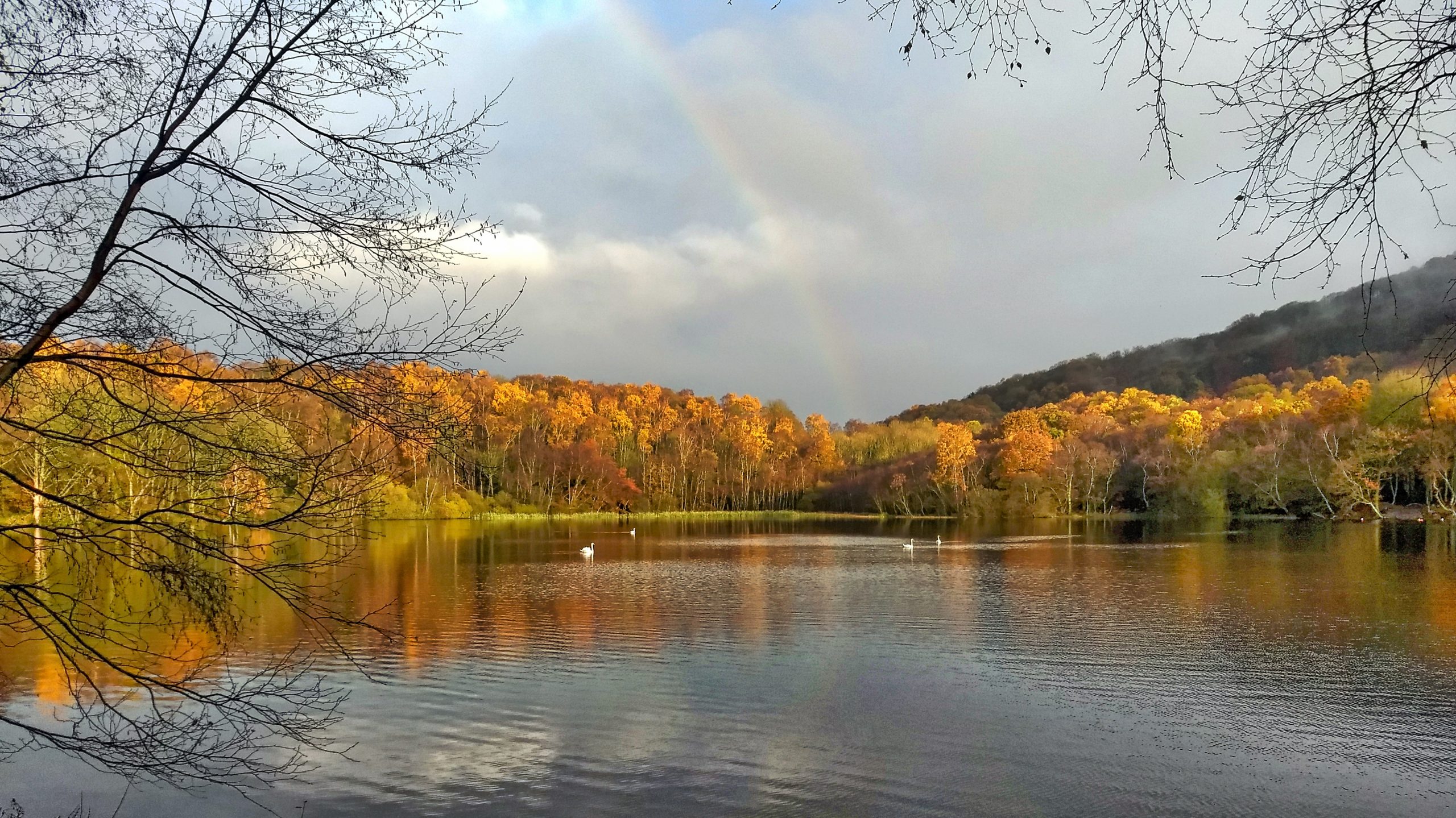
Gormire Lake
A lap of Gormire this morning. Rain all the way down, and all the way back, but the sun broke over on the unfathomable lake, although Wikipedia says it’s 21 feet. Enough to cover the reputed village that lies at its bottom next to the gateway to hell. I saw none of its infamous leeches,…
-
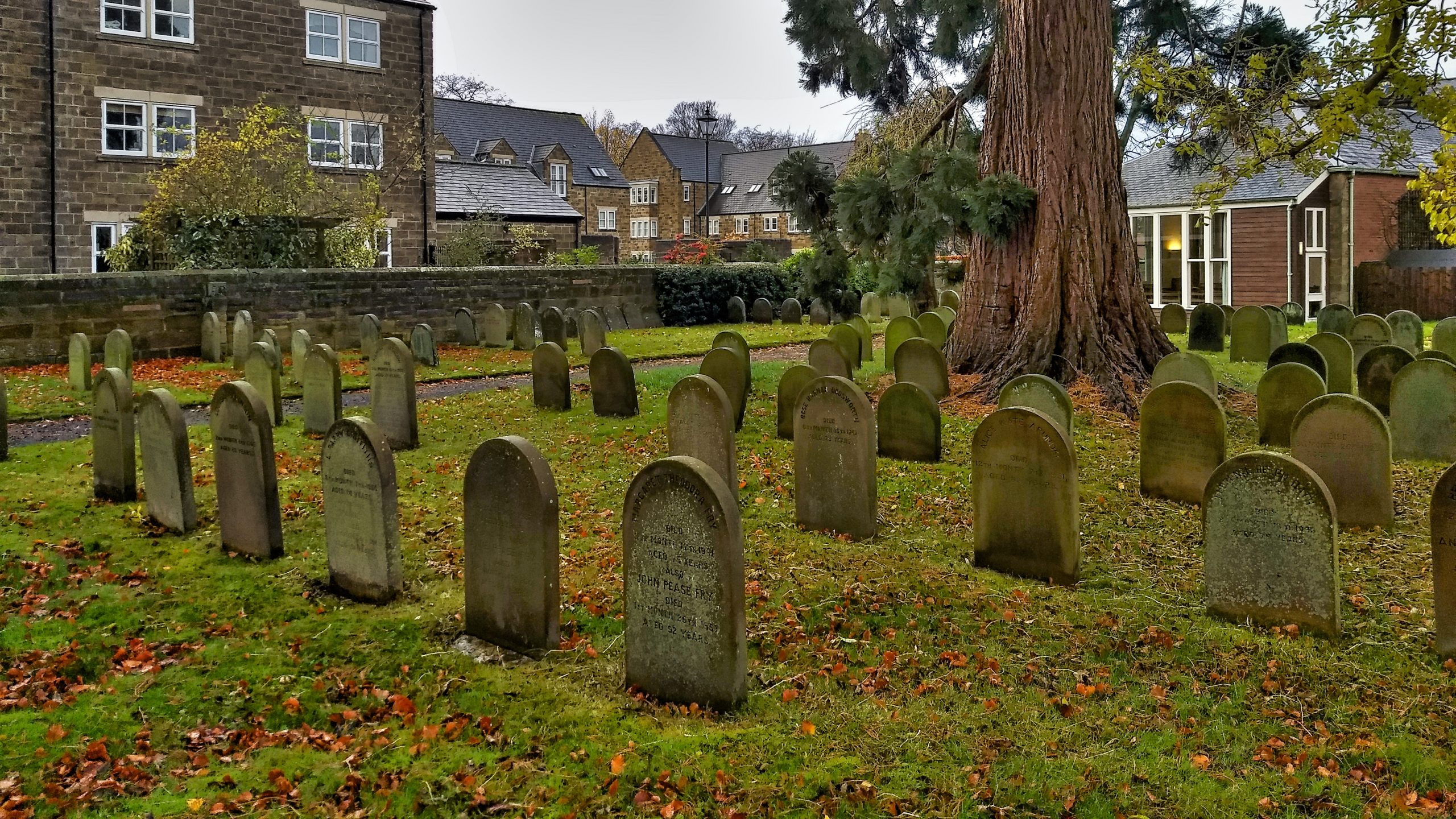
Quaker Graveyard, Great Ayton
Quakerism began to attract support in the North York Moors soon after its emergence after the Civil war in the mid-17th-century. Almost every dale would have its populace often sizeable and with their industrious philosophy, many soon became highly successful farmers. There is a record of George Fox, the founder of Quakerism, visiting Danby Dale.…
Care to comment?