-
Nan Scaife o’ Spaunton Moor
“Get you of the skull the bone part of a gibbetted man so much as one ounce which you will dry and grind to a powder until when searced it be as fine as wheatenmeal, this you will put away securely sealed in a glass vial for seven years. You will then about the coming…
-
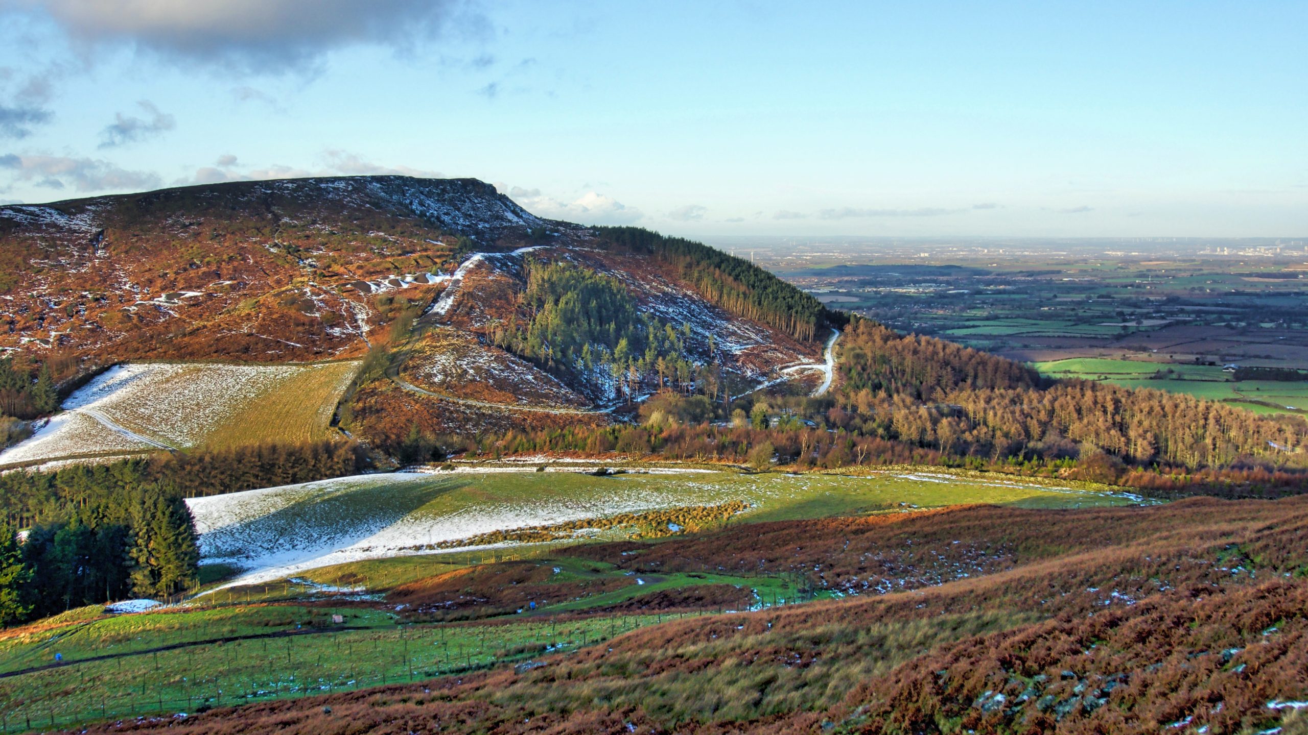
White Hill and Haggs Gate
Or perhaps better known nowadays as Hasty Bank and Clay Bank Top. Clay Bank Top is one of several low points along the Cleveland escarpment formed water overflowed from small meltwater lakes trapped between the scarp and the glacier covering the Cleveland plain and the Vale of Mowbray. Water flowed down Bilsdale and Ryedale into…
-
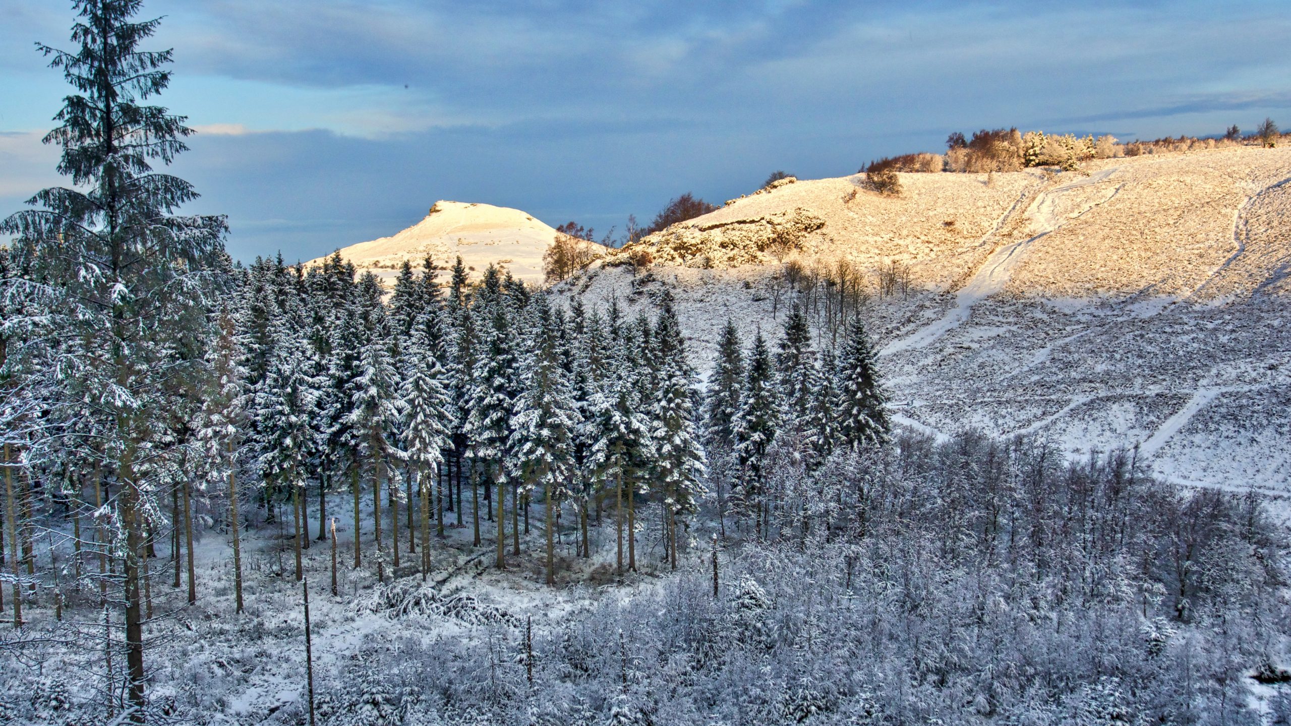
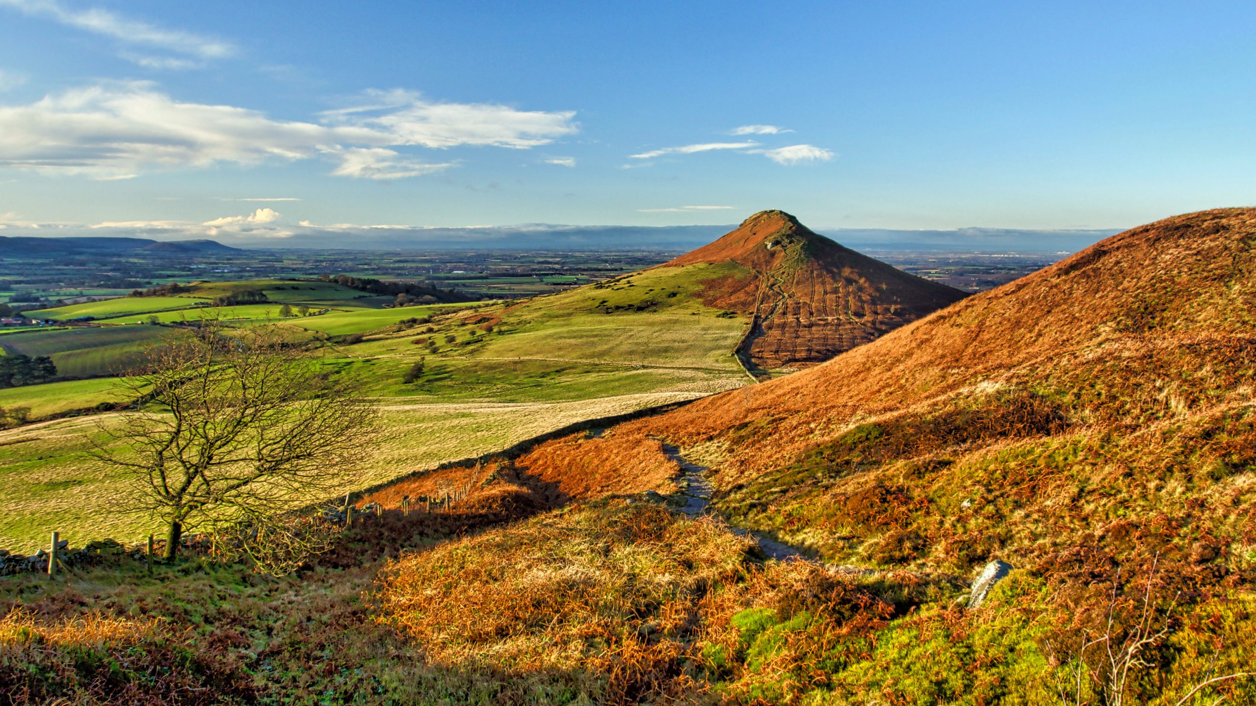
Roseberry through Gribdale Gap
They say the Eskimos have 50 different words for snow but this is apparently a myth. The Swedes certainly have 25 but the top prize must go to the Scots who have had 421. From “Mell-moorin”, a fall of fine, drifting snow to “skelvie“, large flakes of softly falling snow. Now I don’t know what…
-
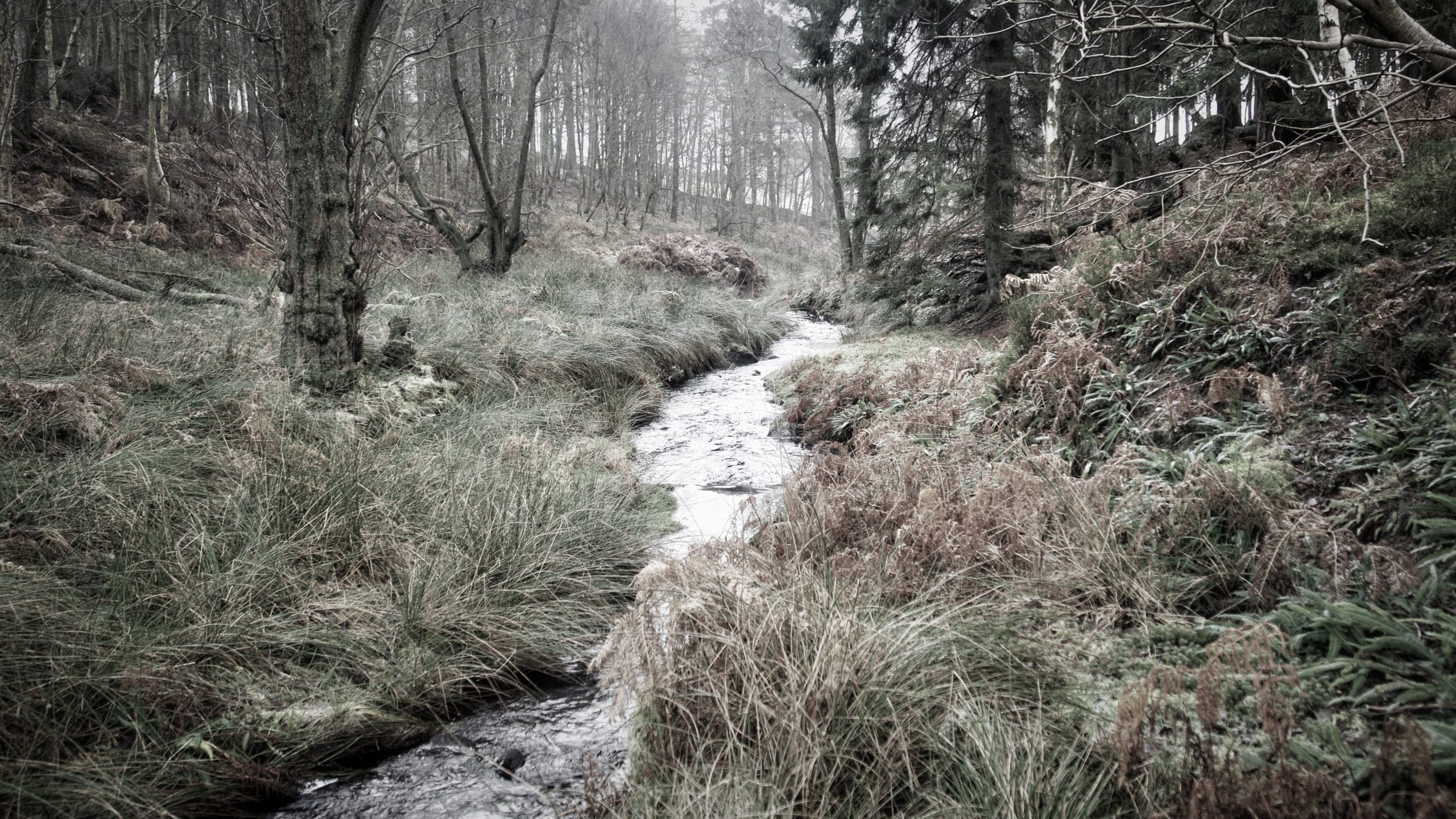
Sleddale
In the late 1940s, a series of articles appeared in the “Evening Gazette” describing rambles on the moors and in the Tees valley. These were very popular and were published in book form in 1949 under the title “Green Ways around Tees-Side“. The other day I found a coverless battered copy I had forgotten I…
-
Vae diei
Roseberry Topping A familiar homely view for a day of doom and gloom. To remind us that life goes on and all is not lost.
-
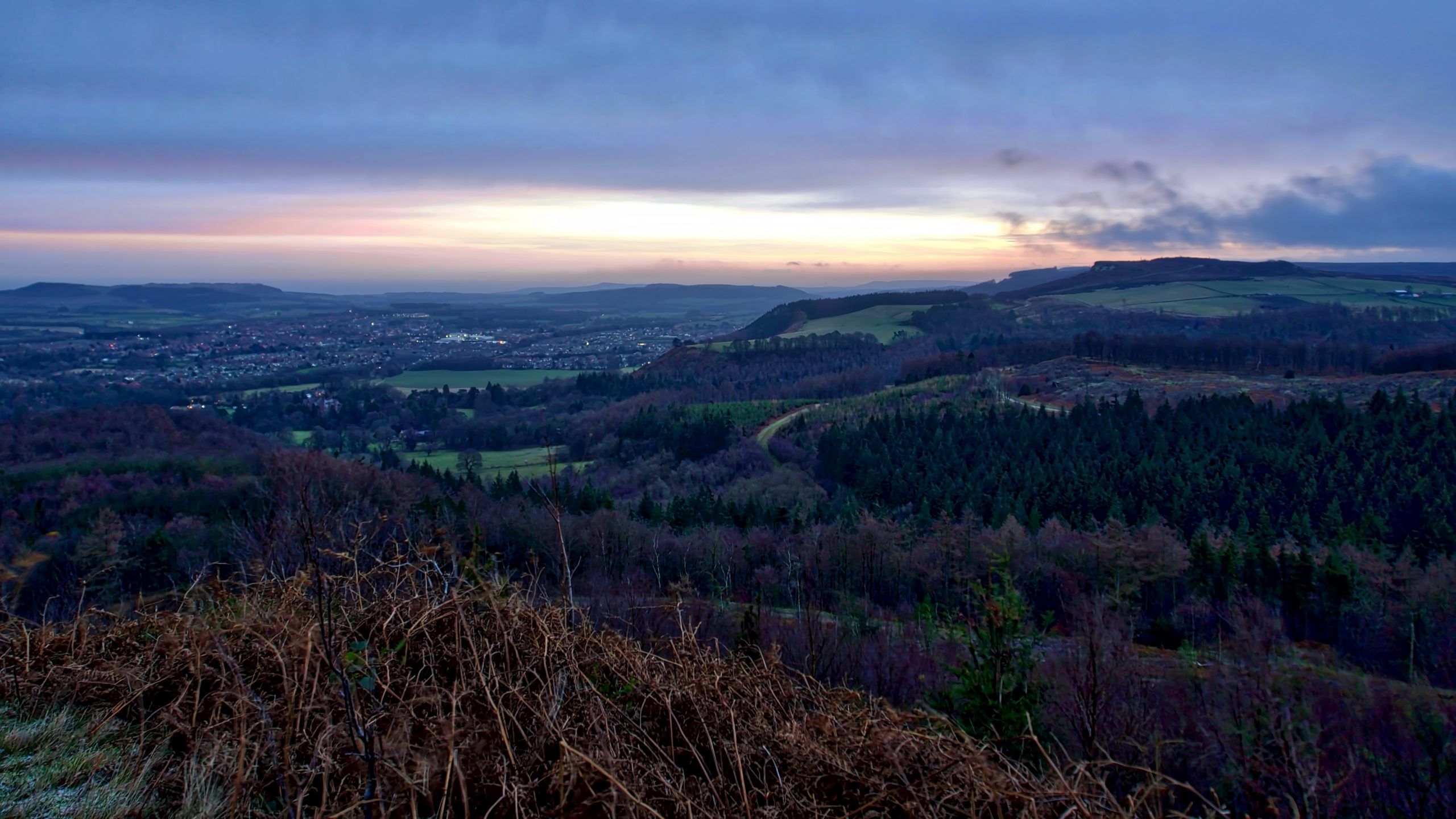
Dawn over Guisborough
High on my bucket list of the places to visit is Iceland but since it’s become the de rigueur tourist destination it’s probably dropped down a bit. But I am still very interested in all things Icelandic. “Þetta reddast” is an Icelandic phrase which google translates as “it will all work out”. Living in a…
-
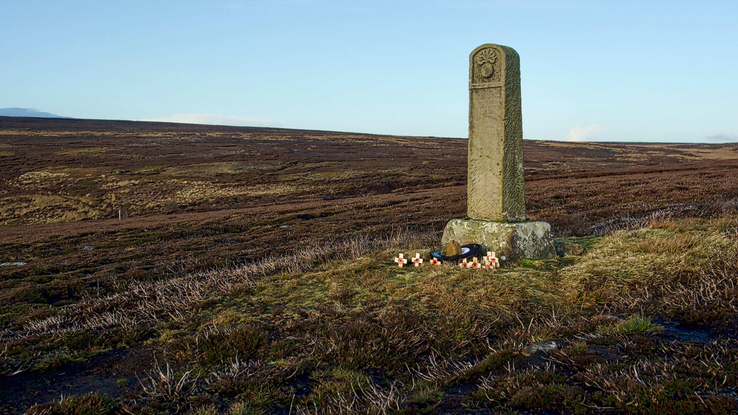
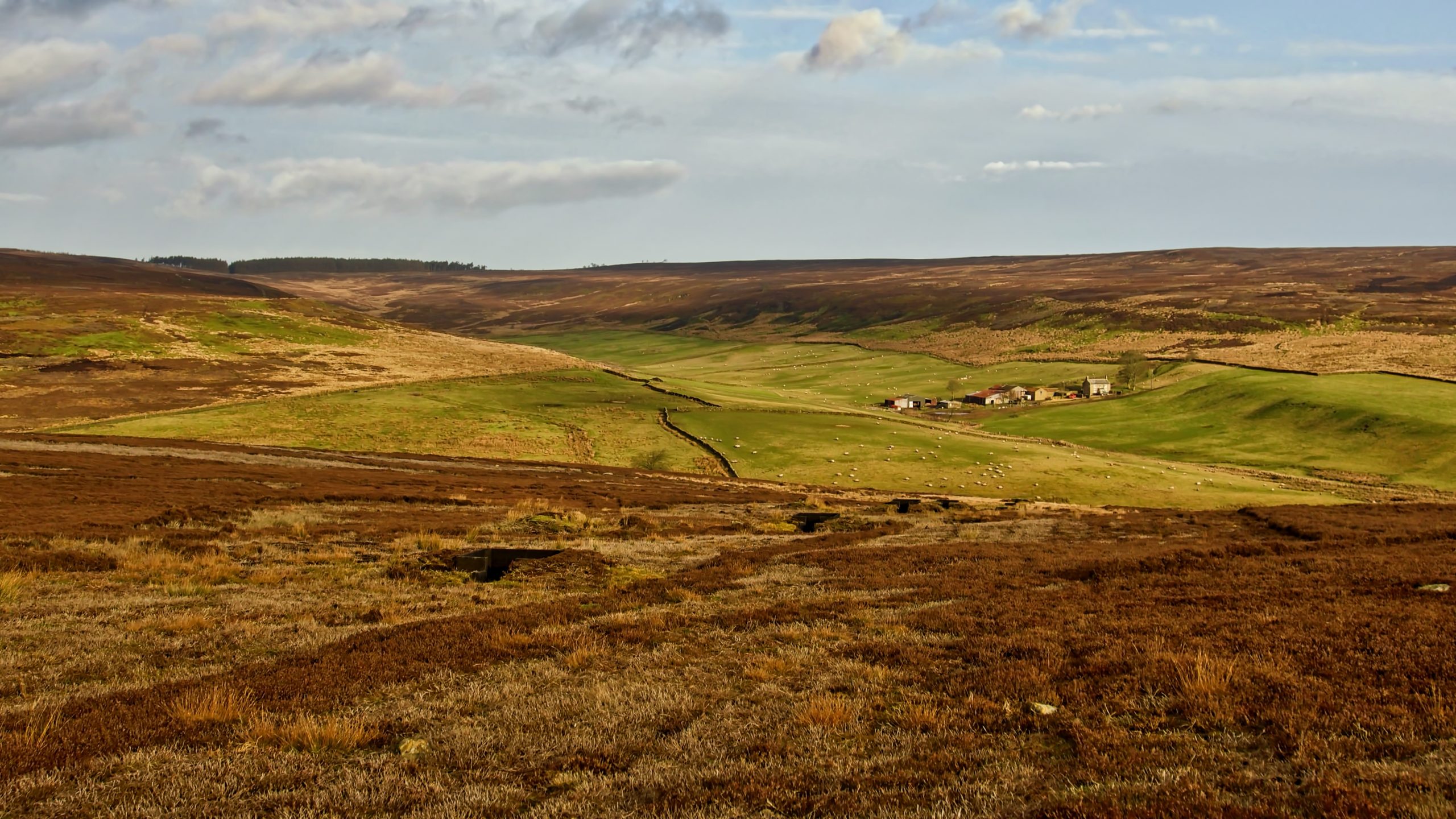
War Memorial, Skelderskew Moor
On the eve of a General Election, it is perhaps time for a moment’s reflection on how our 21st-century society has benefitted from the bravery of the young men who made the ultimate sacrifice for their country over a hundred years ago. Robbie Leggett and Alf Cockerill, the two names on the memorial, were boyhood…
-

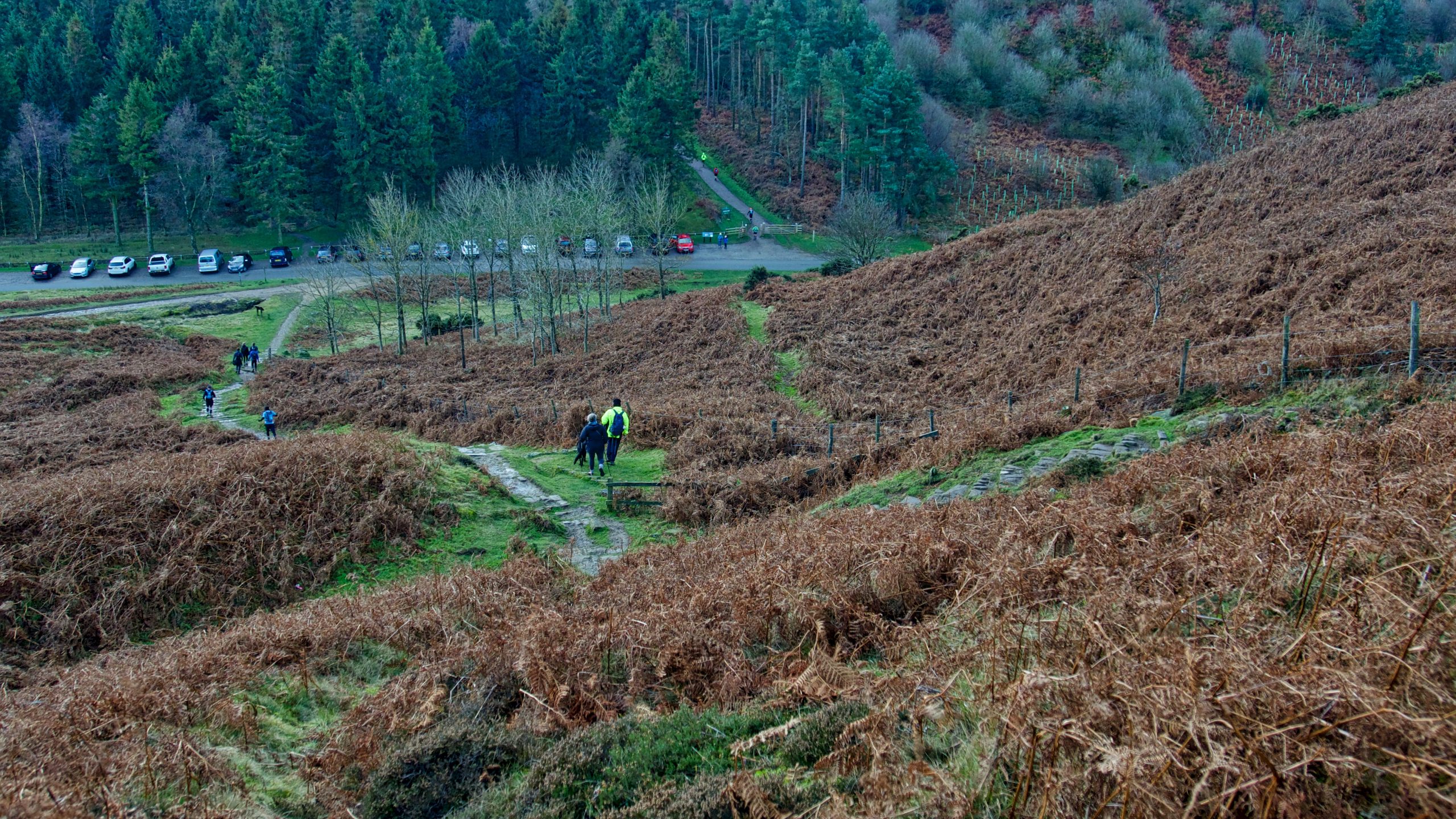
Kirby Bank Trod
This is one of the most interesting climbs onto the moors. While many of today’s Rights of Way follow roughly the routes of ancient pathways, on the climb up Kirby Bank you can actually tread the same flagstones laid down by the Cistercian monks of Rievaulx Abbey in the late C12th/early C13th. Flagstones that are…
-
South Gare
Shipping forecast for sea area Tyne GALE WARNING issued 9 December 2019 09:54 UTC WIND Northwesterly, backing southerly, 7 to severe gale 9, then decreasing 4 to 6 for a time SEA STATE Rough or very rough. WEATHER Showers then rain. VISIBILITY Good, occasionally poor. Open Space Web-Map builder Code
-
Gribdale Gate
It is nearing that time of the year when a mysterious old man appears at Gribdale and then vanishes. But unfortunately on New Year’s Eve, when he has been seen, I am usually in the Lake District. Richard Blakeborough wrote in his book ‘Wit, Character, Folklore and Customs of the North Riding of Yorkshire‘, printed…
Care to comment?