-
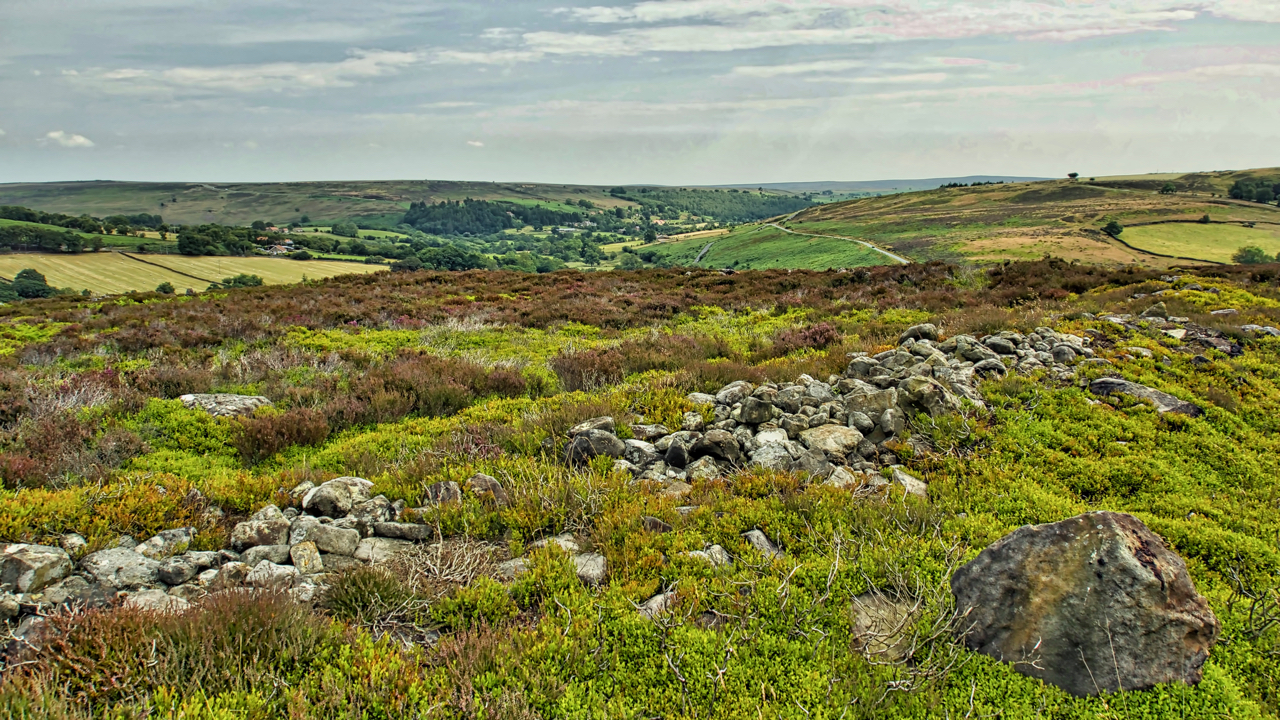
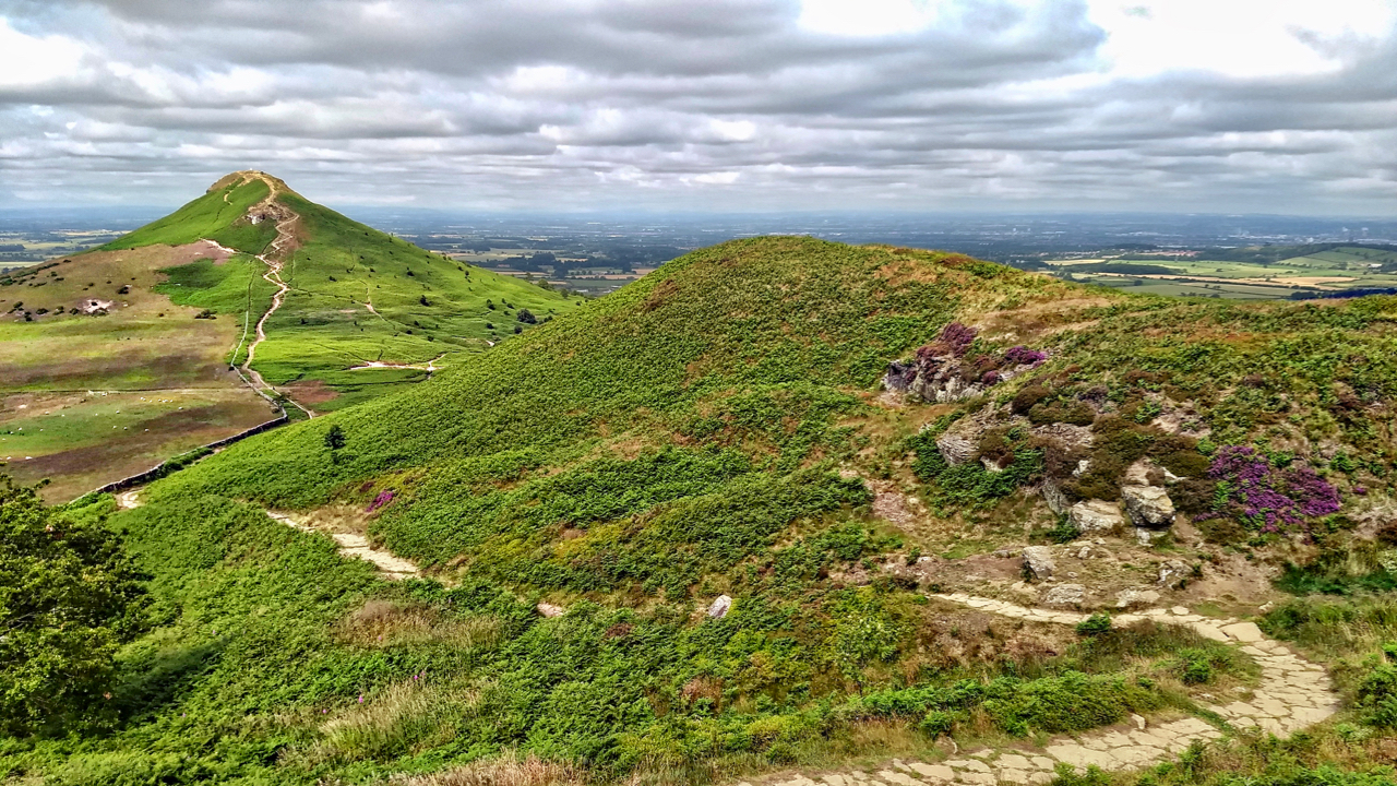
Crown End
A run from Kildale to Castleton. Took a slight detour to look at the ancient bronze age settlement remains on Crown End of Westerdale Moor. The end is a spur, due north of the village of Westerdale at a height of 236 metres. Plenty of humps and bumps and a bits of rocks but not…
-
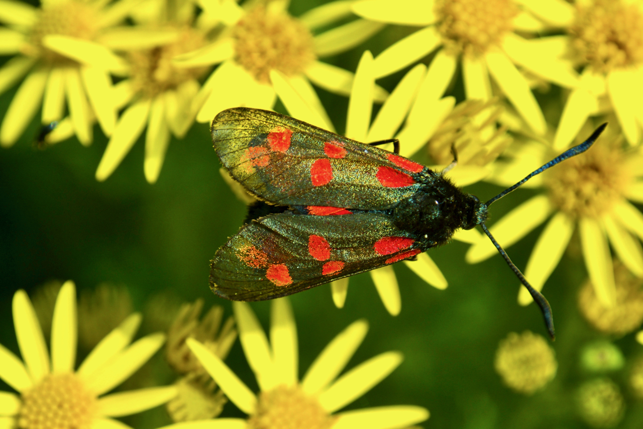
Five-spot Burnet moth
A fairly common but striking moth, photographed here on Stinking Willie or the Common Ragwort. Common Ragwort is one of Britain’s much-maligned wildflowers. Supposedly toxic to horses and cattle but the plant is generally ignored by grazing animals. The problem occurs when ragwort gets mixed in hay for winter feeding. On the other hand, ragwort…
-
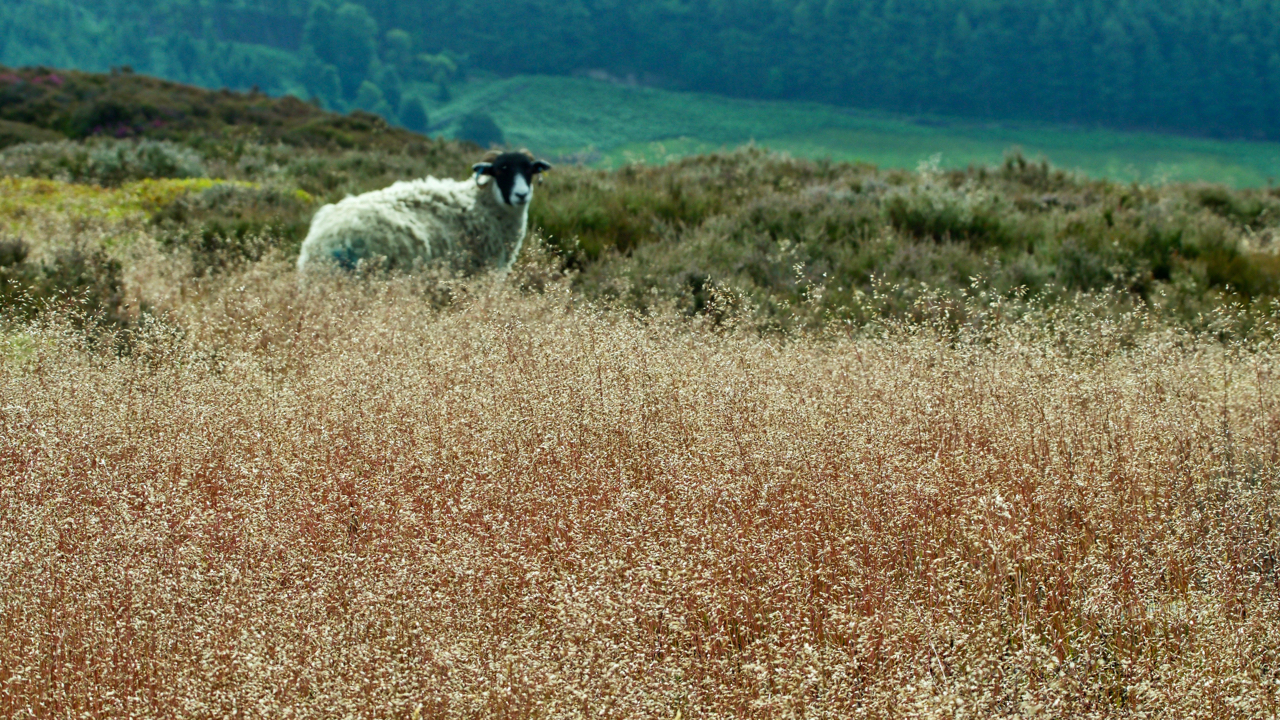
Hog in the fog
Yorkshire Fog that is, Holcus lanatus, although grasses are difficult to identify so I may have dropped a clanger here. No doubt someone will put me right. And it may well be a double clanger. A hog is a young sheep, one or two years old that hasn’t been sheared. Count as poetic licence. Back…
-
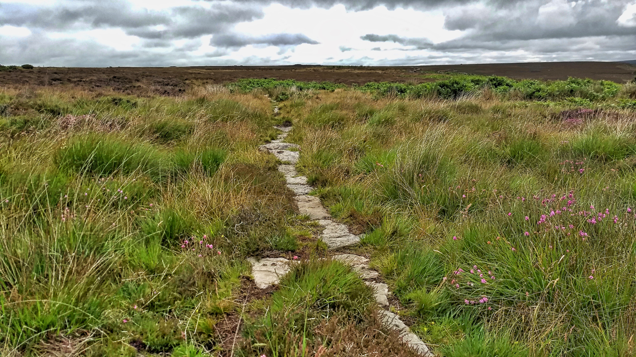
Post medieval trod from Stokesley to Whitby
I stumbled across this today quite by accident. A small section of a stone trod running parallel to and about 20 metres from the Commondale to Three Howes Rigg modern road. It is recorded on the NYM NP Historical Environment Records (HER) map as “a section of the post-medieval trod or trackway from White Cross…
-
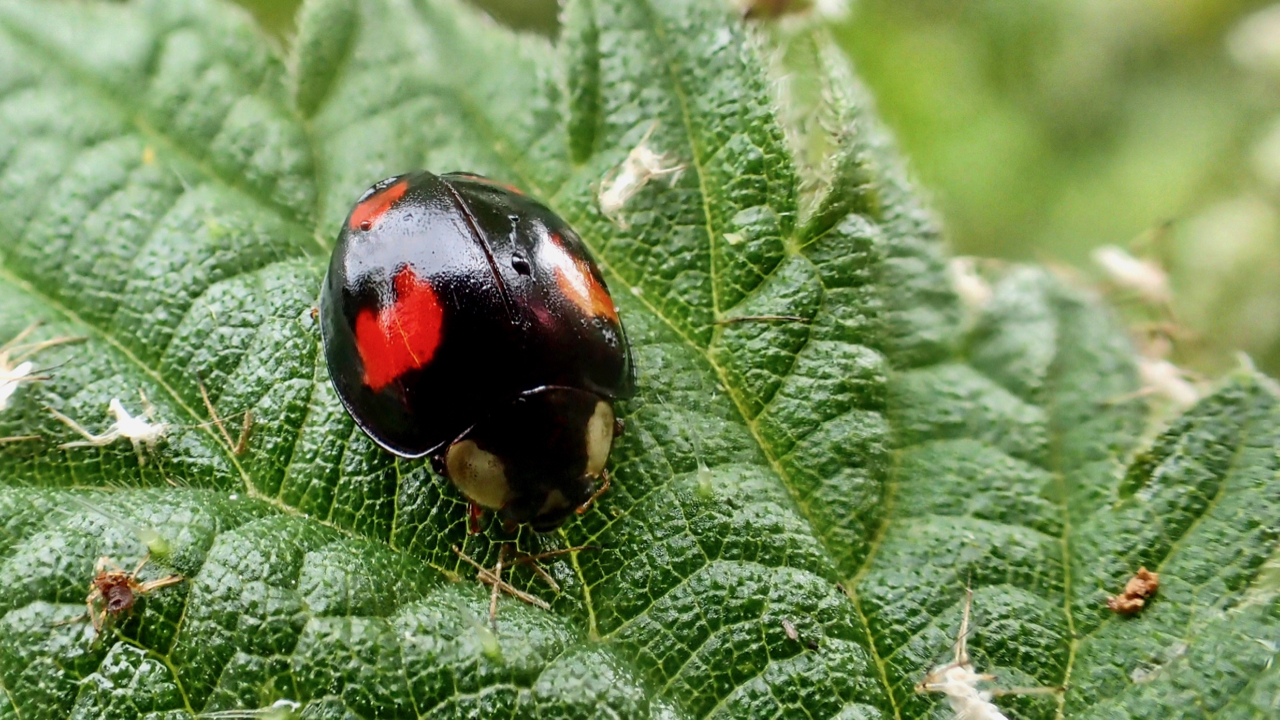
Harlequin Ladybird
Found this wee beastie in the garden. A bishy barny bee as they say in Norfolk. But this is no ordinary ladybird, it’s a Harlequin ladybird, Harmonia axyridis, a voracious invader from Asia. Sometime in the 1980s farmers in the U.S. began introducing the Harlequin to North America to control the aphids that were feeding…
-
Hey, it’s good to be back home again
So the John Denver song goes. Open Space Web-Map builder Code
-
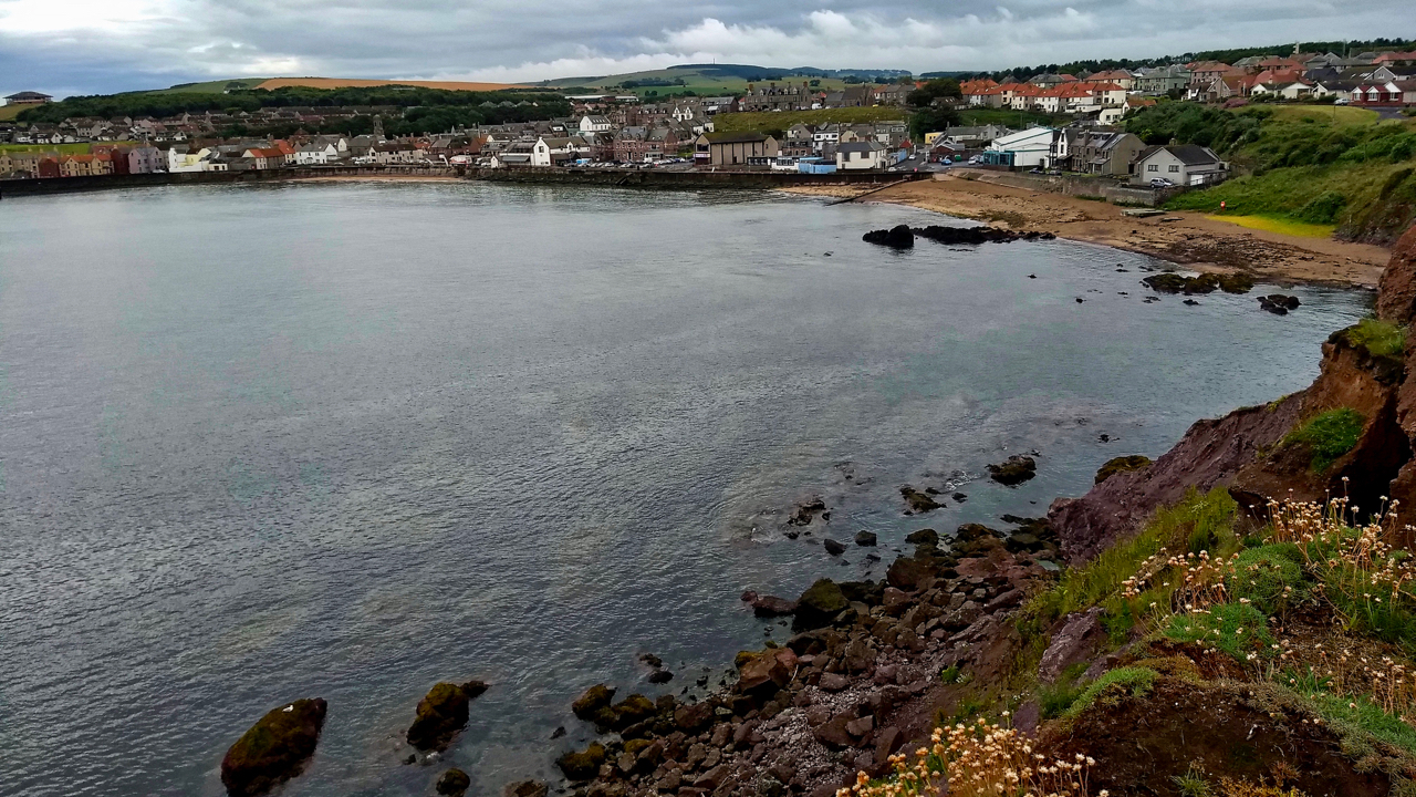
Eyemouth
A run along the dramatic Berwickshire coast from Coldingham to Burnmouth, passing through the picturesque fishing village of Eyemouth. I have been here once before, to launch my sea kayak for a paddle up the coast. But what I remember most is reading about the fishing disaster of 1881. We had stopped at the first…
-
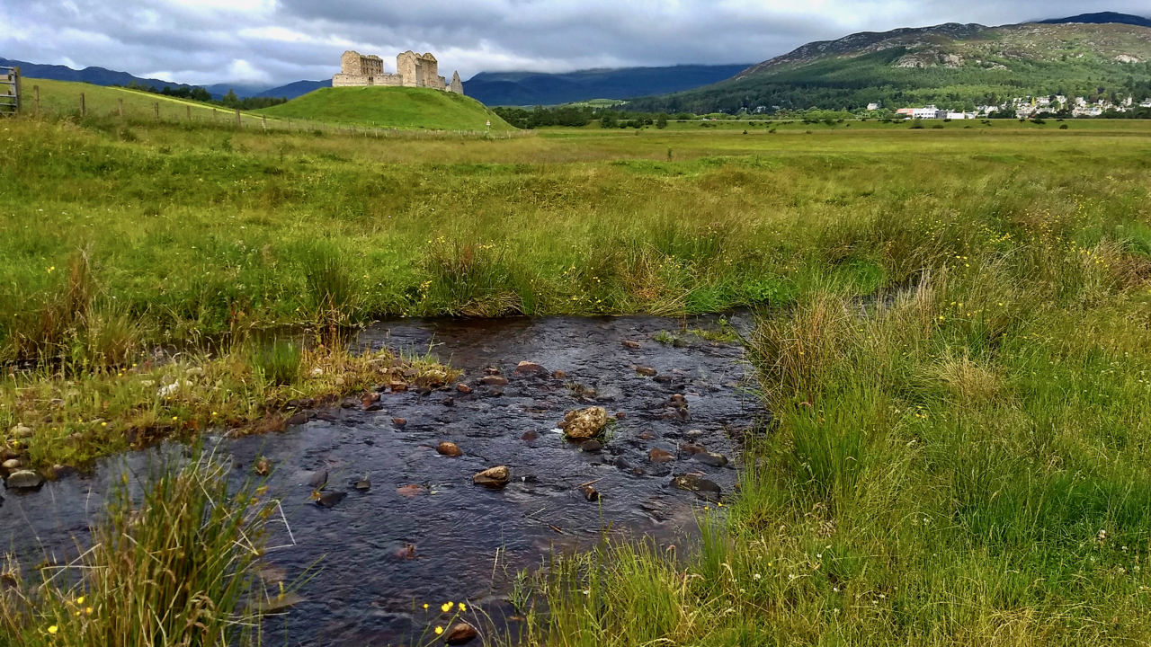
Ruthven Barracks
The history of this 18th-century garrison for Hanoverian troops is well documented. What is not so well known (or at least what I learnt yesterday) is that a stronghold is first documented as being built on the site in the early 1200s, its strategic position recognised as the lowest fordable crossing of the River Spey…
-
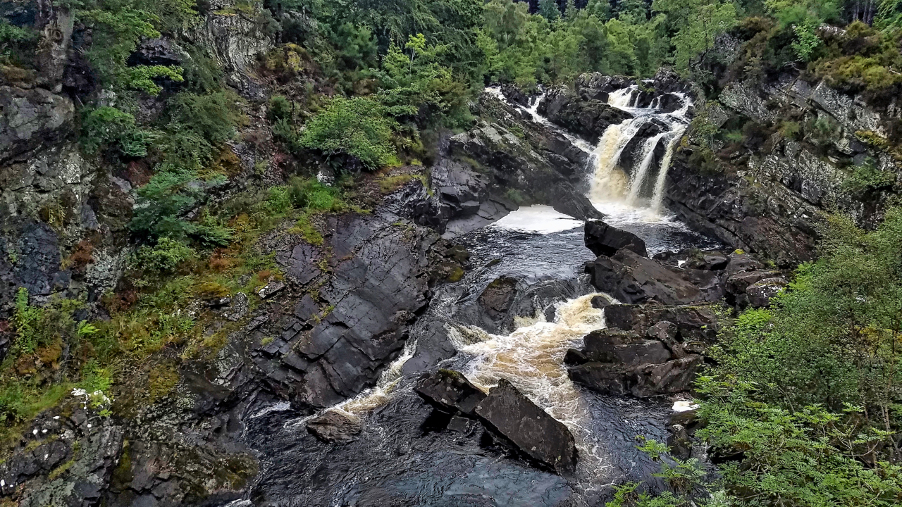
Rogie Falls
Needed some exercise on the journey south so parked up at Torrachilty Forest just north of Inverness. Came across the popular tourist attraction of Rogie Falls. Quite impressive, on the river Black Water or Alltan Dubh. Eas Rothagaidh is the Gaelic name for the waterfall with the ‘th‘ and ‘dh‘ silent so I guess the…
-
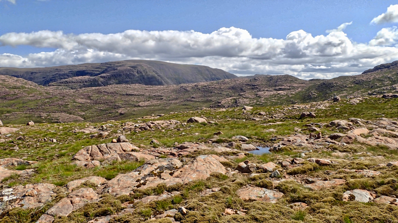
Coire nan Cuileag
A view north-east across the Coire nan Cuileag from near the top of the notorious Bealach na Bà, a 626m high mountain pass. It is reputed to be the steepest road in the UK but I think that accolade is actually on the eastern ascent. I cycled up from the west, still the same height…
Care to comment?