-
Park Nab
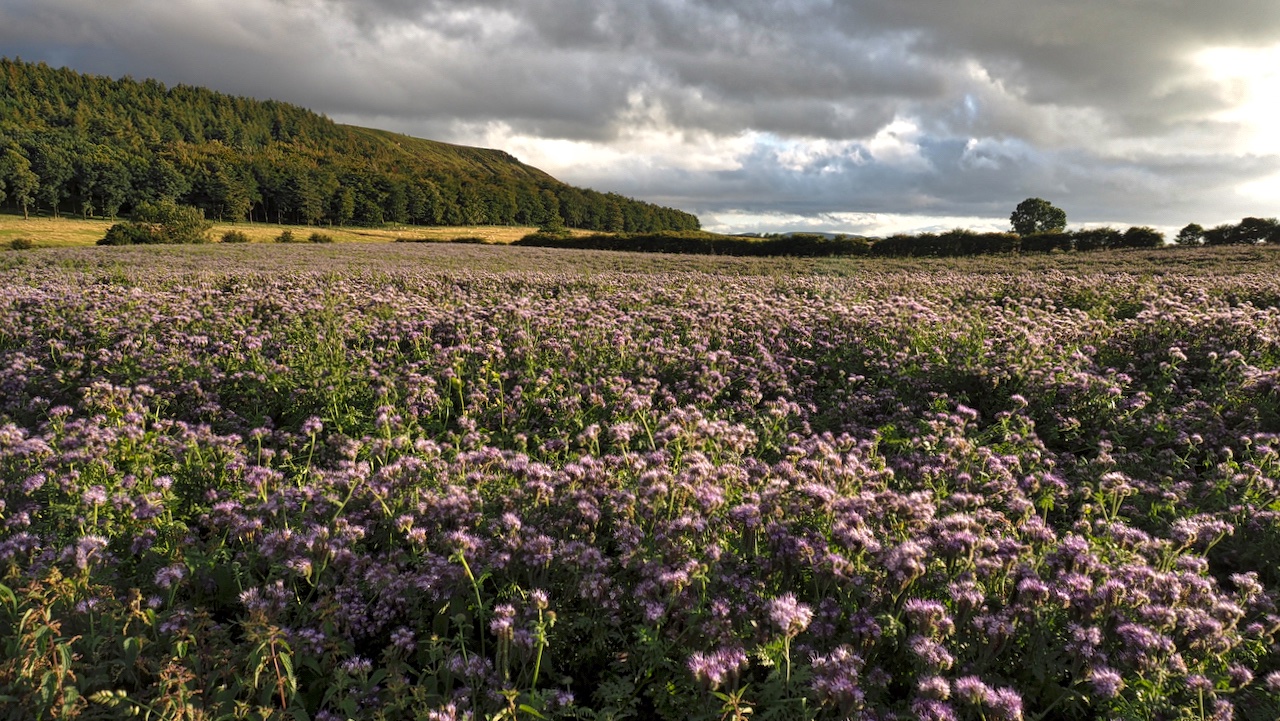
A sunny evening after a day of rain. This is one of a pair of blue fields flanking Green Gate Lane, better known as the Little Kildale road. The crop is Lacy phacelia or Blue tansy. The photograph has actually rendered the colour less blue than I remember. I am a bit disappointed. Must be…
-
These Hills Are Ours: A Song for Roseberry Topping
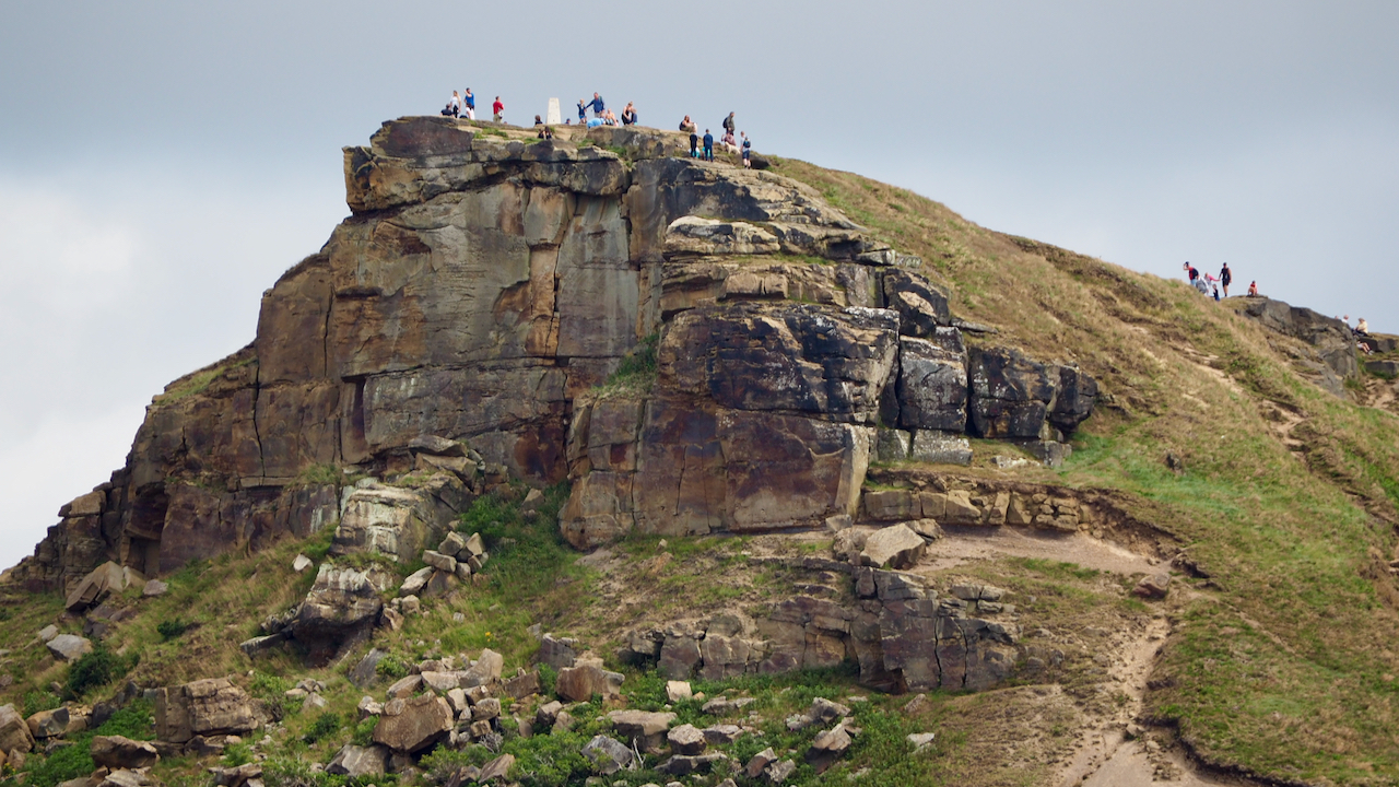
Last year we attended a public meeting with Daniel Bye and Boff Whalley to discuss what Roseberry Topping means to the local community. Daniel is an Associate Artist at the ARC, Stockton-on-Tees and Boff is a musician and writer best known as a member of the band Chumbawamba and a fellow fell runner. We shared…
-
Kepwick limestone quarry incline
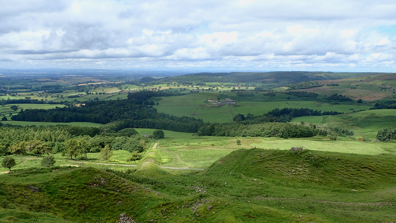
The name of the old inn, Limekiln House, on the Hambleton Drovers’ Road, gives a clue to the industry which dominated the Tabular Hills escarpment above Kepwick. For it catered for the quarrymen as well as the drovers. Limestone has much used since pre-history as a building material, the Great Pyramid of Giza had facing…
-
The Fairy Stones
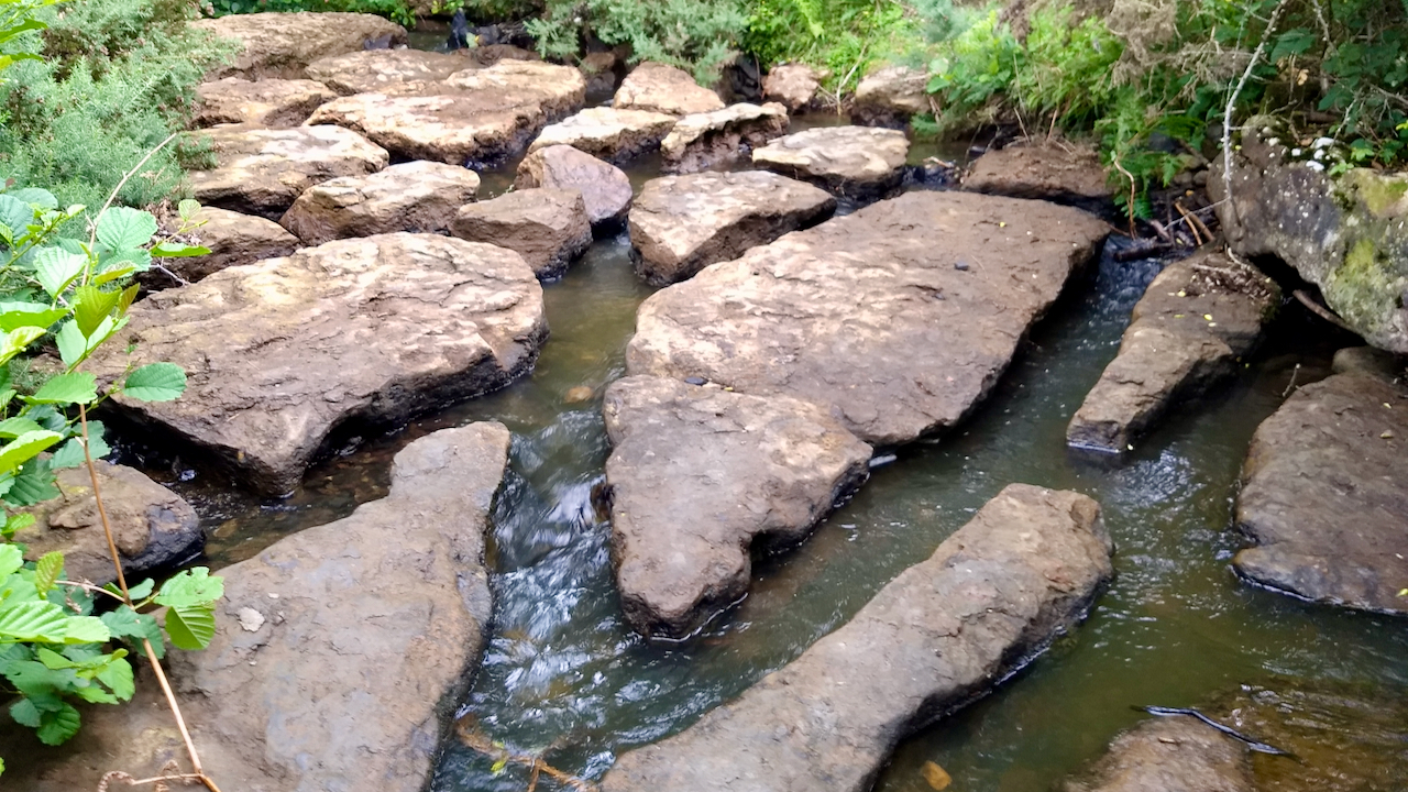
The road east out of Hutton-le-Hole towards Lastingham crosses a bridge over Fairy Call Beck. Just north of the bridge are the Fairy Stones, a mosaic of stepping stones naturally formed from the Cornbrash bedrock. The Cornbrash Formation is a narrow Jurassic layer of rock, composed part limestone and part sandstone, that is rich in…
-
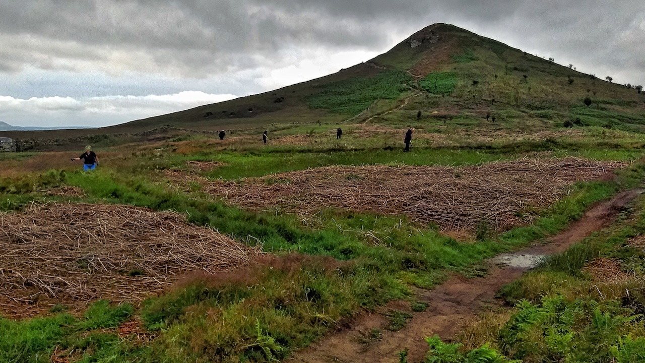
Bracken bashing on Roseberry Common
A wet return to volunteering for the National Trust after the Coronavirus lockdown. A nice simple task to ease the rusty joints: bracken bashing, which also has the benefit of enforcing social distancing. The common was sprayed last year with a bracken specific herbicide so today was just keeping on top on any persistent fronds.…
-
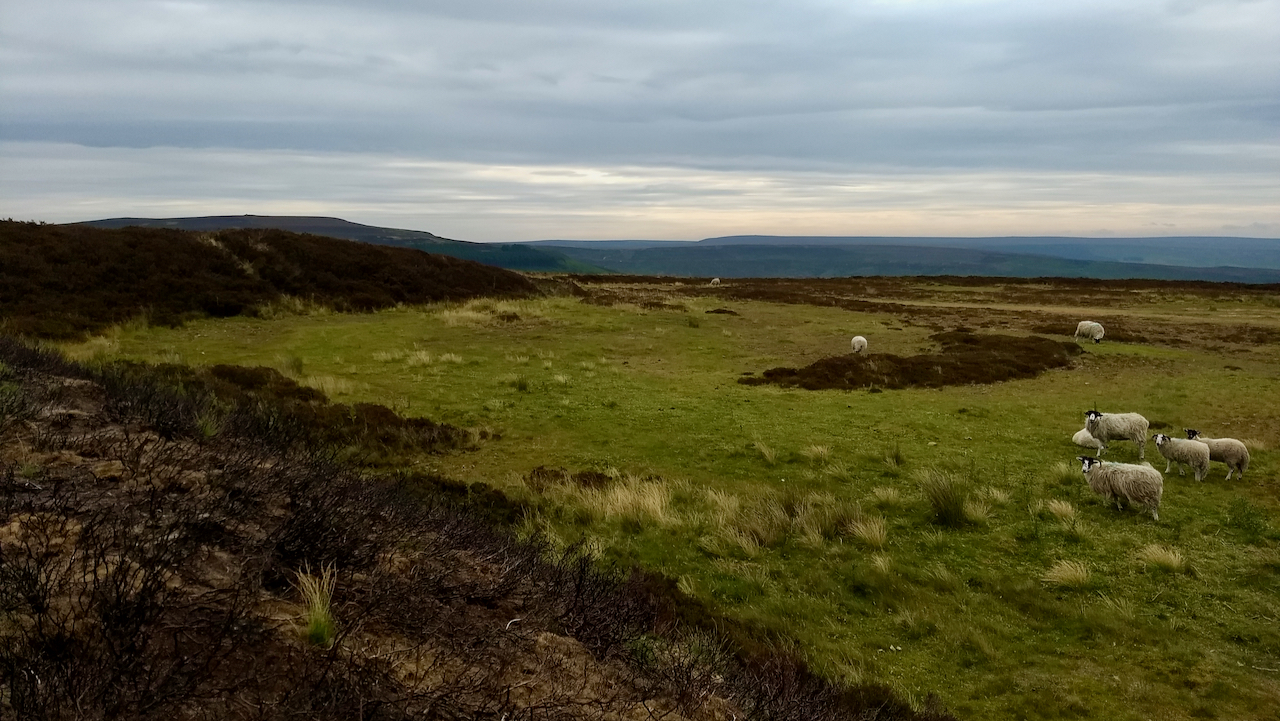
Site of an aerodrome
If you look on the O.S. 1:25,000 map of Carlton Moor you will see a large area of ‘white’ moor, land that is not designated as Access Land under the Countryside and Rights of Way Act (2000). Unfortunately, you can not get to this scale using my normal embedded map but here is a link…
-
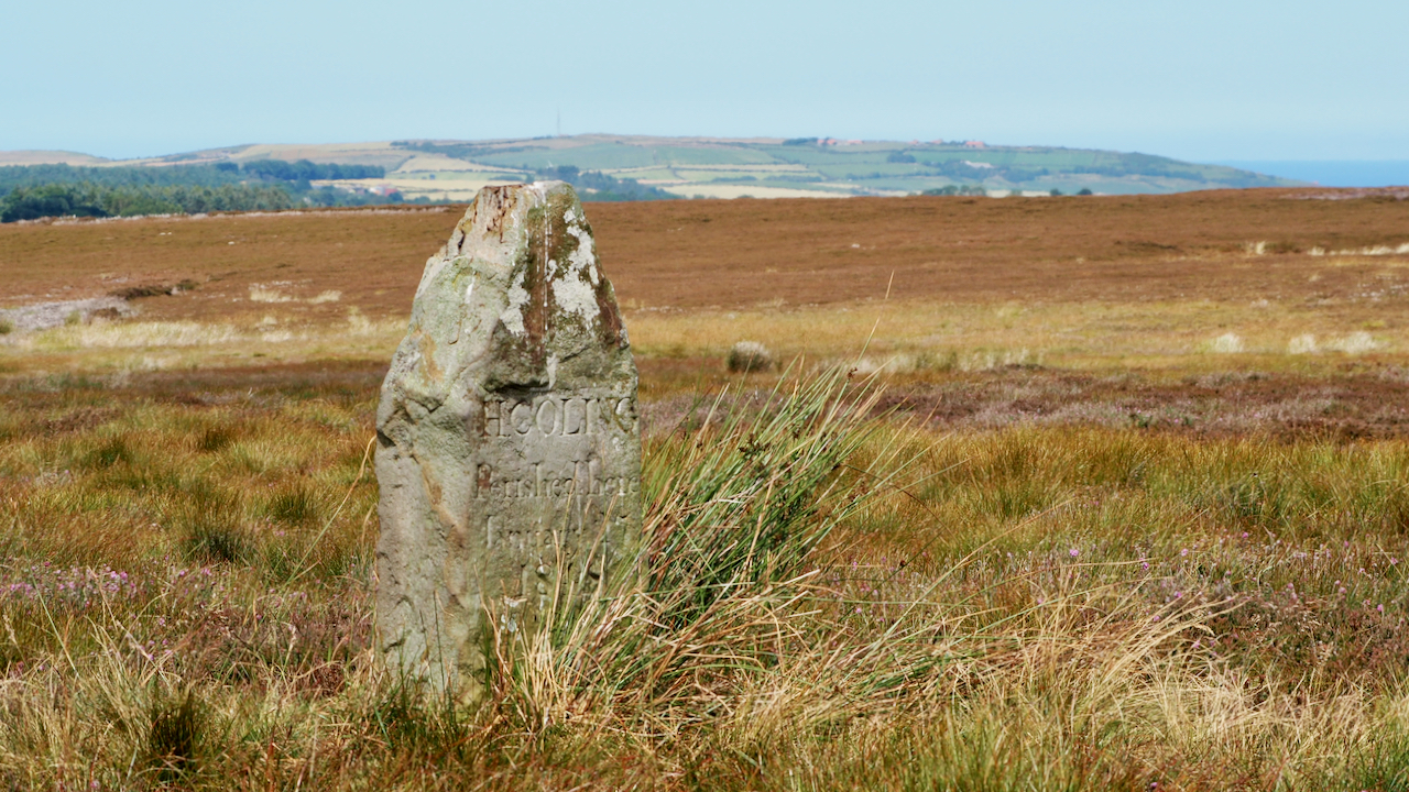
Hannah Coling Memorial
Over on the moors south of Scaling Dam Reservoir and I happened across this memorial to a woman who had died on the moor in 1848. H. COLING Perished here January 21st 27th 1848 I had heard there was a memorial somewhere on this moor but I wasn’t looking for it specifically. I found one…
-
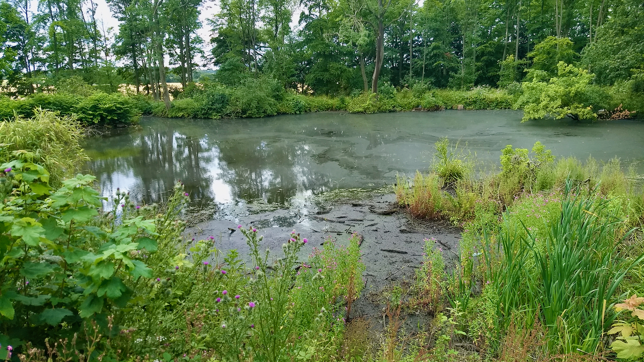
Rounton Grange
On me bike for a low-level ride over the quiet roads west of the A19. The bottom bracket is wobbly so I wanted to avoid any big climbs. Bikes are great when they work, but not as simple as running. I took a detour to see if I could find any remains of Rounton Grange,…
-
Masks
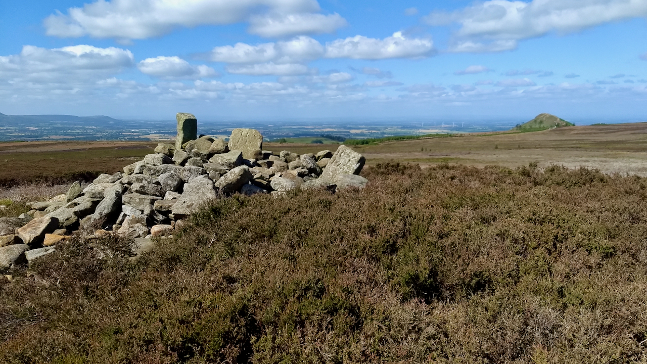
Sunshine, blue skies, a lovely morning to be out on the moors. No fear of losing your way in the fog today. No fear of being maskered. To ‘masker’ is a Yorkshire term meaning to render giddy, senseless, or bewildered as when lost in a blizzard, fog, or darkness. Masks are due to become very…
-
‘A Wild Year’
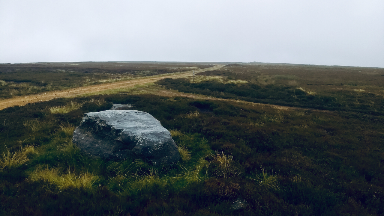
Did you watch ‘A Wild Year‘ on BBC2 on Friday evening, featuring the North York Moors? It’ll be available on iPlayer for a while. I was left feeling disappointed. The filming was superb of course, slow motion and time lapsed, the usual BBC quality, but when it came to the inevitable section on grouse management,…
Care to comment?