-
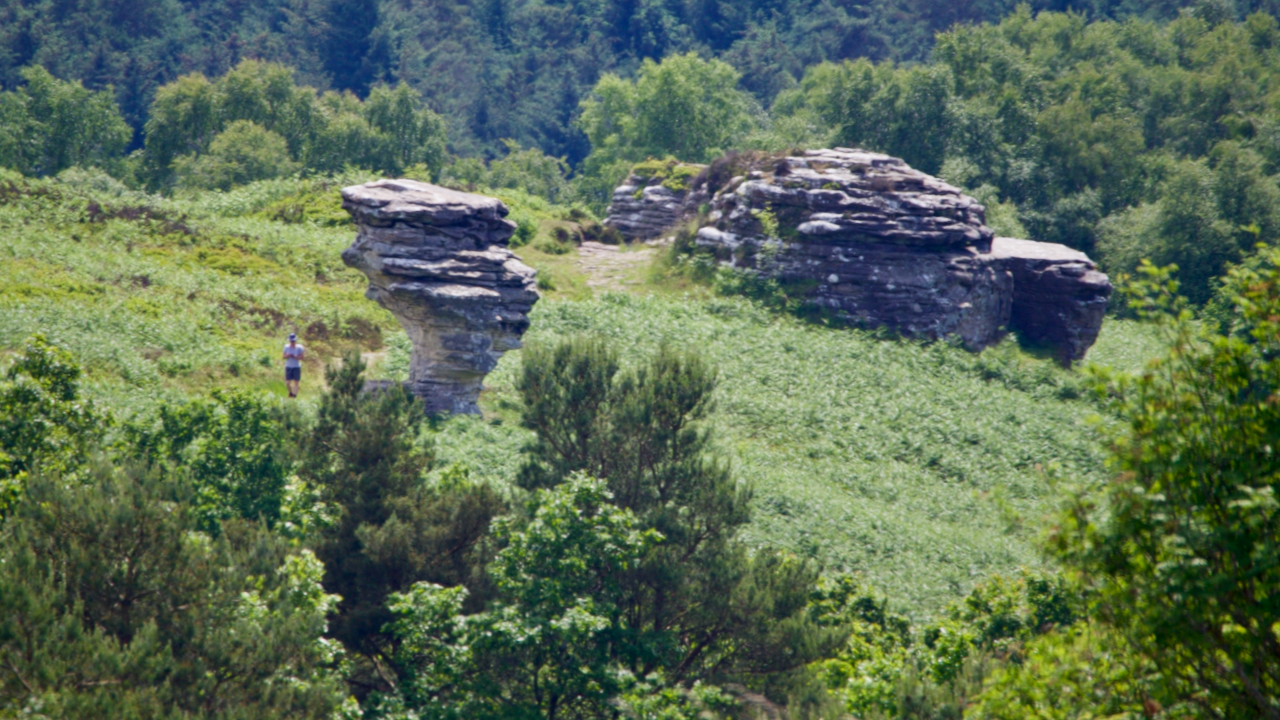
Low Bride Stones
150 million years ago, as the Jurassic seas advanced and retreated, rocks of differing densities were laid down on the sea bed with a hard gritstone laying over softer sandstones. The sandstone under the weathered more easily resulting in these fascinating tors. A myth that is often quoted is of a petrified bridal party that…
-
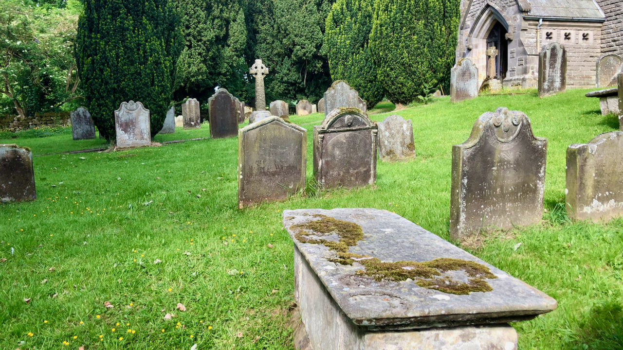
The Dunn’s Charity for the Benefit of the Poor of Kildale
In the churchyard at Kildale is an 18th-century chest tomb, which is a Listed Monument in its own right. The inscription is weathered and covered with moss and lichen so very hard to read but Cedric Anthony provides a transcript in his book ‘Glimpses of Kildale History‘: Here lyeth the body of Joseph Dunn who…
-
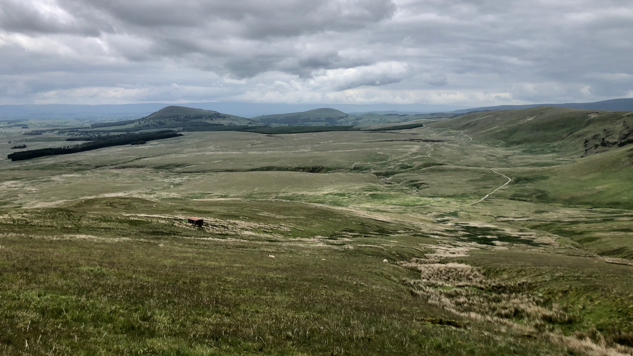
Threlkeld Common
The boggy wilderness of Threlkeld Common, perhaps more well known because of the ‘Old Coach Road’ which traverses it between Dockray and Wanthwaite, keeping to higher, drier ground. I haven’t been able to find much about the road’s history but I surmise it was the old route between Penrith and Keswick before the bridge over…
-
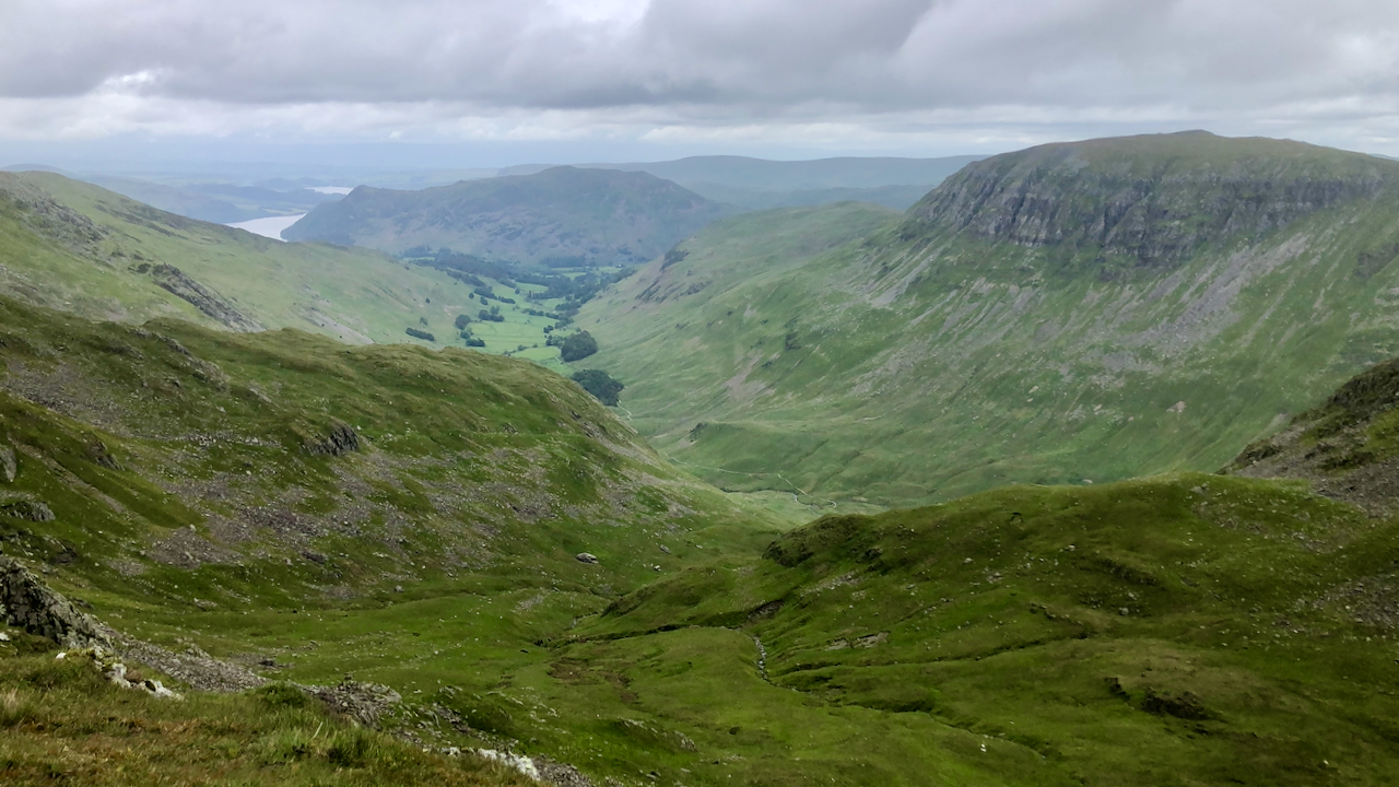
Ruthwaite Cove
A view down Grisedale from the col between Nethermost Pike and Dollywagon Pike. The name Grisedale portrays its Norse roots. The valley of the pigs — ‘griss’ meaning pigs, probably wild boar. On the other hand, St. Sunday Crag, the huge fell on the right is from St Dominic and the Latin: Dies Dominica, the…
-
John Bell’s Banner
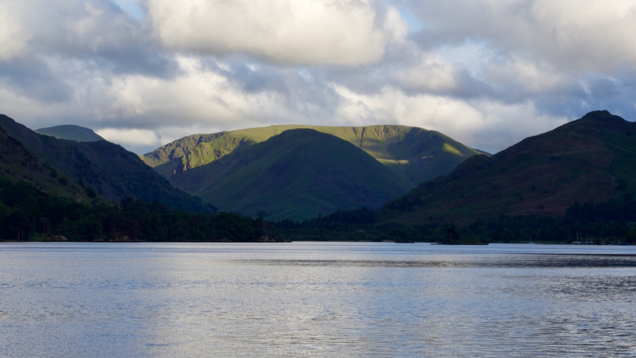
Grey skies and many showers accompanied me for the drive over on the A66. But sunshine, blue skies and rainbows appeared for the final leg down Ullswater. At the head of the valley, Cauldale Moor looked splendid in the evening sunshine, encircling the gloomy ridge of Hartsop Dodd. Wainwright gives an alternative name of ‘John…
-
Cliff Rigg Quarry
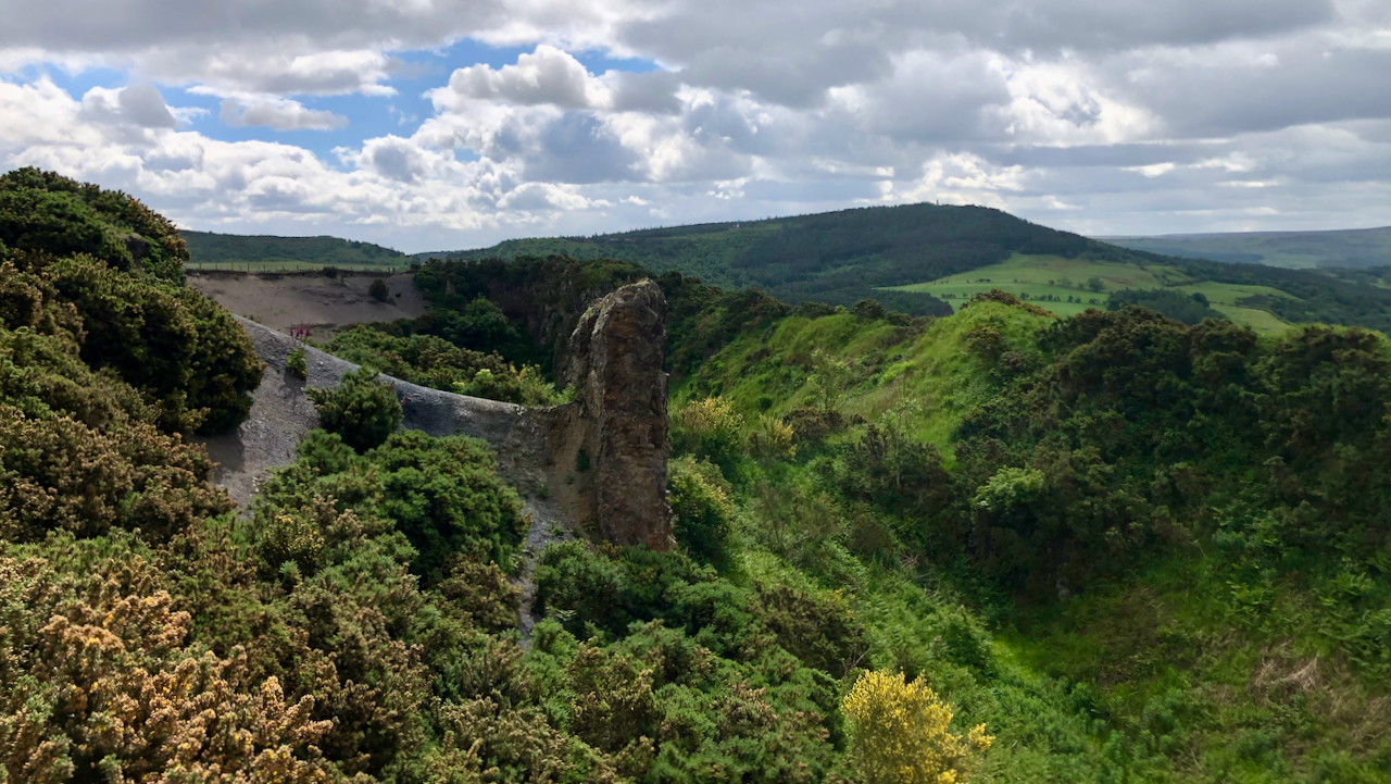
A shortish walk up to Cliff Rigg, to the great hole left from the extraction of whinstone in the 19th-century. The whinstone is from a dyke, about 25m wide, of igneous rock that was injected through the local sedimentary strata about 59 million years ago, originating from a volcano centred on the Island of Mull…
-
Who was Brian?
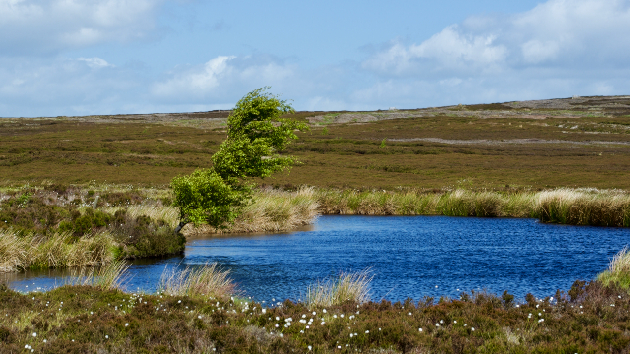
Brian’s Pond at Clough Gill Top has always intrigued me. An oasis on the bleak Bilsdale West Moor. But just who was Brian? The name and pond appears on the 1857 Ordnance Survey Six-inch map and I’ve always thought it a modern name. But I find it was actually a fairly popular name for Arthurian…
-
Roseberry
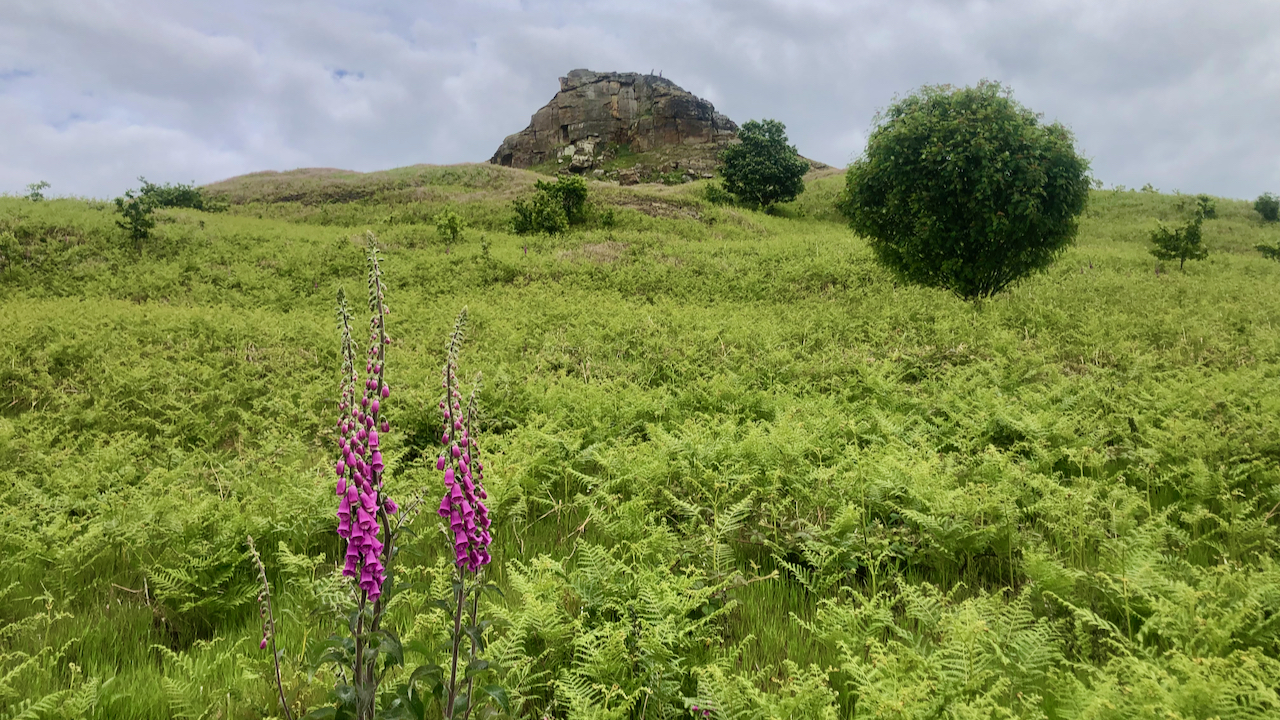
A day spent with the National Trust cutting back the growing bracken on footpaths. This particular path is the old bridleway up Roseberry, possibly used to take Victorian tourists up the Topping — although I haven’t any evidence to support this. The bridleway is little used now, but has to be cleared because it’s a…
-
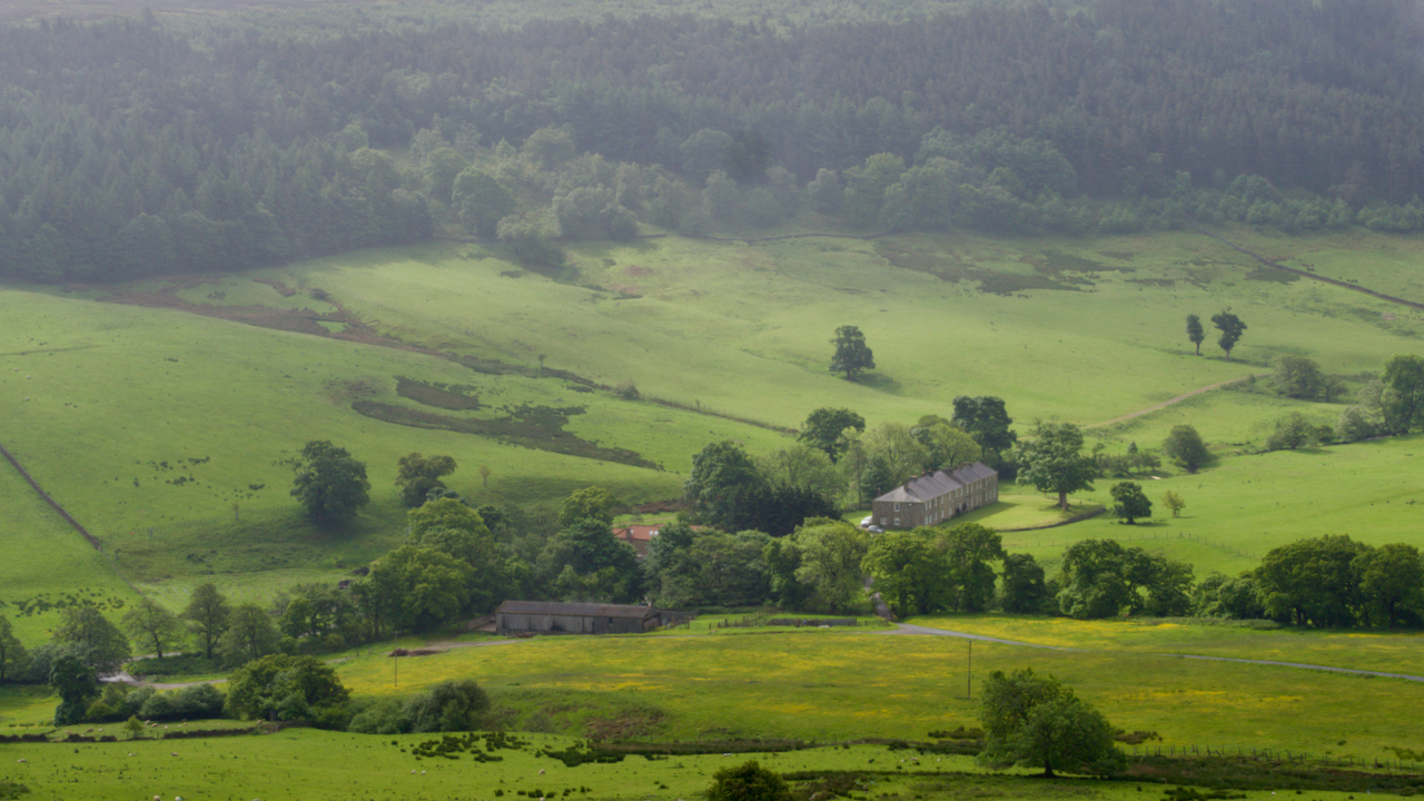
Baysdale Abbey
Very little remains of the 12th-century Cistercian nunnery; a large farmhouse now occupying the site. The farmhouse probably dates from the 17th-century although I read it has a date of 1822 above the date. A priory was founded in 1162 at Hutton Lowcross, near Guisborough; but soon the nuns were removed to the village of…
-
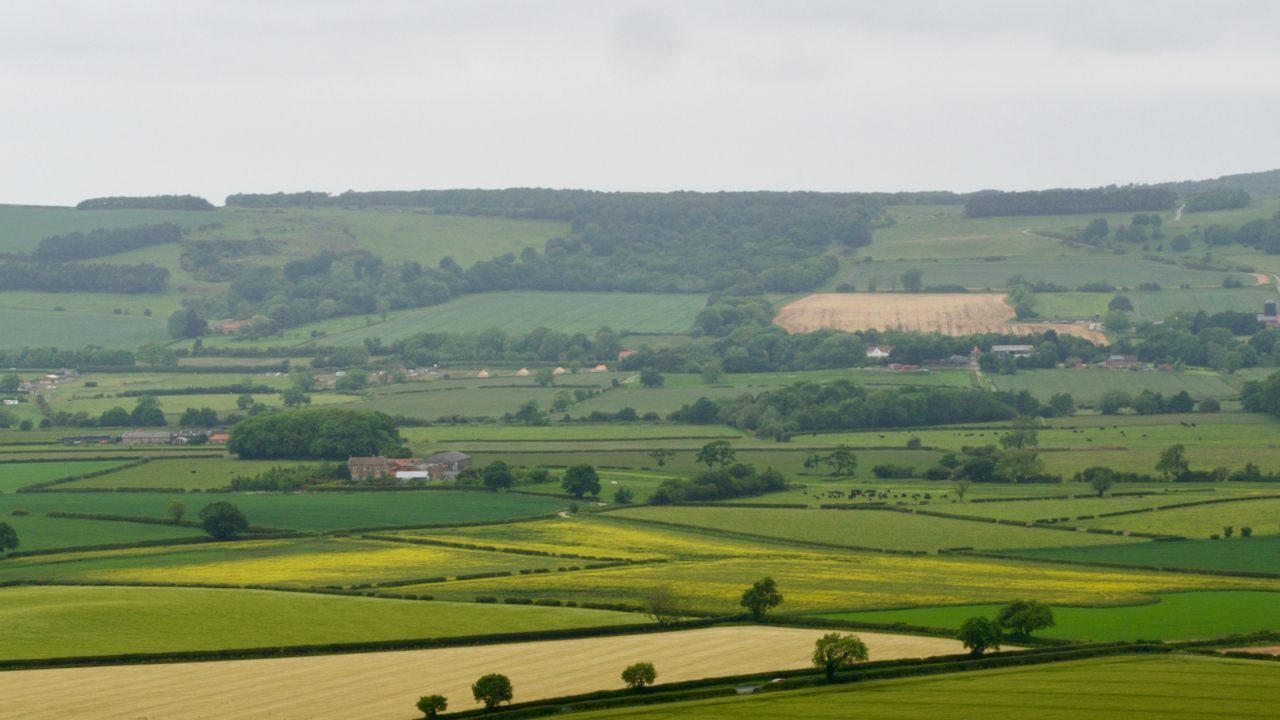
Spite Hall
There’s an old dialect word ‘gongoozle‘ which I rather like. It means to “leisurely watch the passage of boats, from the bank of a canal, lock or bridge”. Exactly which dialect is unclear. Some say Lincolnshire, some say the Lake District, some say Cockney. It is first recorded in 1904 in the “Glossary of Canal…
Care to comment?