Category: Bilsdale West Moor
-
From Stone Ruck to the Lure of Fascism
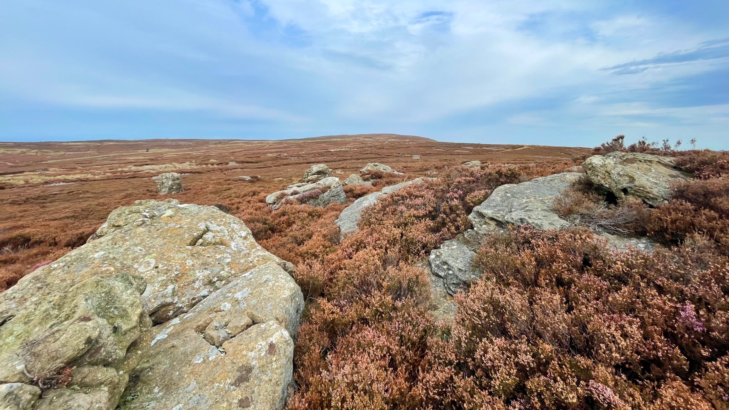
A tumulus mapped as Stone Ruck with a view up to Brown Hill, the high point of Carlton Bank. A single boulder, pressed into service as a boundary marker, denotes the Feversham estate from that of the Marquess of Ailesbury. Curiously, the boundary is not drawn at the top of the tumulus but shy of…
-
From Stone Ruck to Roseberry: Though a Neolithic lens
The recognition of a clustering of rock-art sites around the perimeter of Scugdale has given rise to a hypothesis concerning a plausible ancient prehistoric route encircling the valley. This period corresponds to approximately 5,000 years ago, specifically the Middle Neolithic era, when Scugdale likely comprised a blend of thick woodland and the marshy vestiges of…
-
Who was Brian?
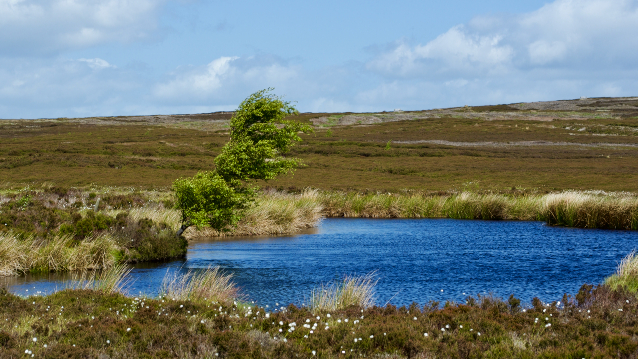
Brian’s Pond at Clough Gill Top has always intrigued me. An oasis on the bleak Bilsdale West Moor. But just who was Brian? The name and pond appears on the 1857 Ordnance Survey Six-inch map and I’ve always thought it a modern name. But I find it was actually a fairly popular name for Arthurian…