Category: North York Moors
-

The Cleveland Way
Buy any Ordnance Survey 1:25,000 map nowadays and you’ll find it criss-crossed by lines of green diamonds — the symbol for a National Trail or Long Distance Path. In 1965, the first such trail was launched, The Pennine Way, and the second was our very own Cleveland Way, opened four years later on this day,…
-
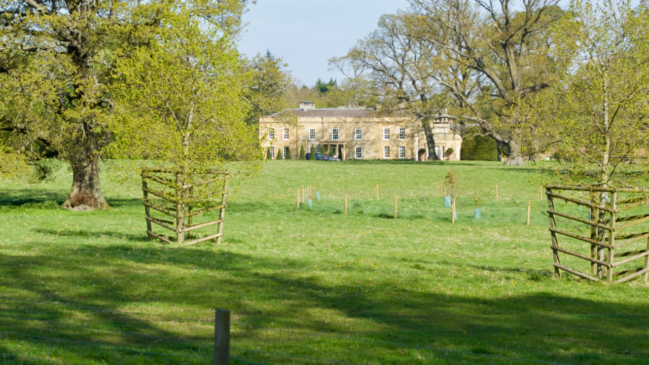
James Emerson of Easby Hall
“Charming and ingeneous” according to the ever euphuistic Pevsner, Easby Hall was built sometime between 1808 and 1823 soon after Robert Campion acquired the Lordship of the Manor. Campion was a Whitby based banker who acquired his money from shipbuilding, sail cloth manufacture and other industries. He also was responsible for the erection of Capt.…
-
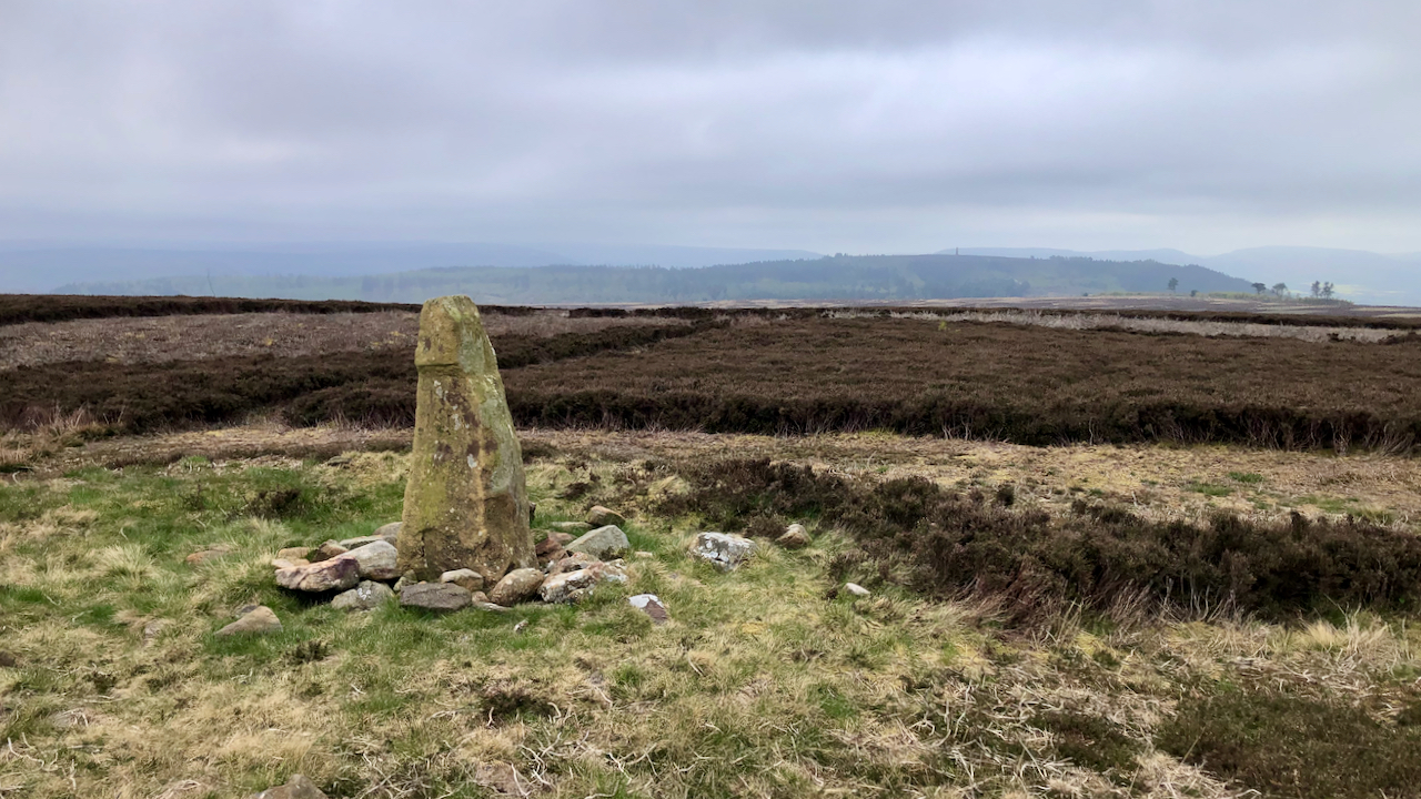
‘A Yorkshire Tragedy’
I don’t usually do this view — on a sunny day it would be into the sun — but, a bit cloudy today, and with a surprising chilly wind. From Great Ayton Moor. On this day (23rd April) in 1605, Walter Calverley of Calverley Hall murdered his two sons, and seriously wounded his wife, and…
-
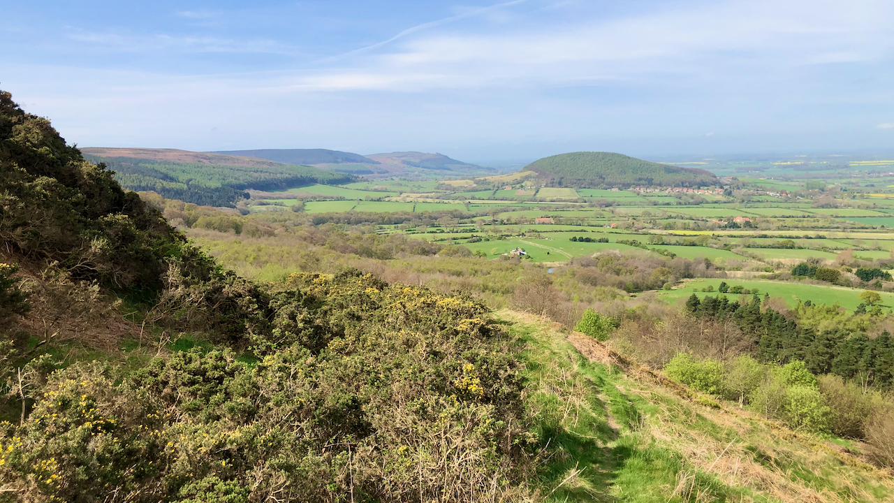
An old holloway up Carlton Bank
I tried to use a little used Public Footpath which loops around from the foot of Carlton Bank to the now demolished Underhill House. But I became distracted by a mountain bike track and ending zig-zagging up through the trees eventually coming across an old holloway, well above the present road. Overgrown by gorse, it…
-
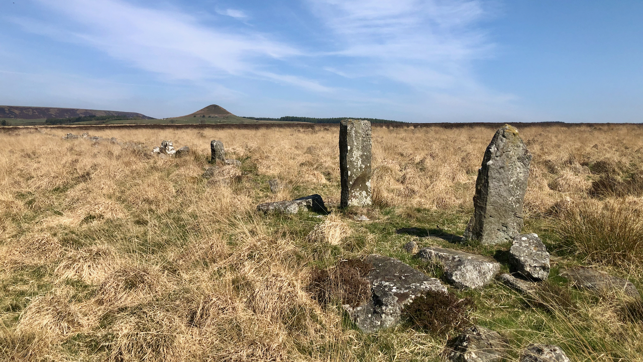
More Devil’s work
The devil works hard so they say, but he doesn’t seem to be very good at any of his whimsical, crackpot schemes. It’s said he took a dislike of Aldborough but his ‘Arrows’ fell short and only just missed striking Boroughbridge. Then there’s his grandiose scheme for dividing the North Sea which got no further…
-
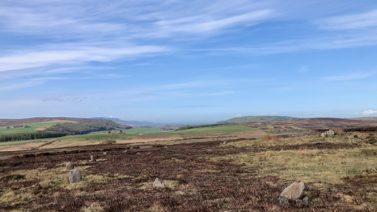
Wayworth Moor
Wisps of cirrus clouds break the endless blue sky. High on the moors the world seems flat. Wayworth Moor has vague boundaries. It’s clear cut to the east, Sleddale Beck, but to the north and west, it probably falls to that part of Commondale Moor, for which Wayworth Farm has pasture rights. A reference in…
-
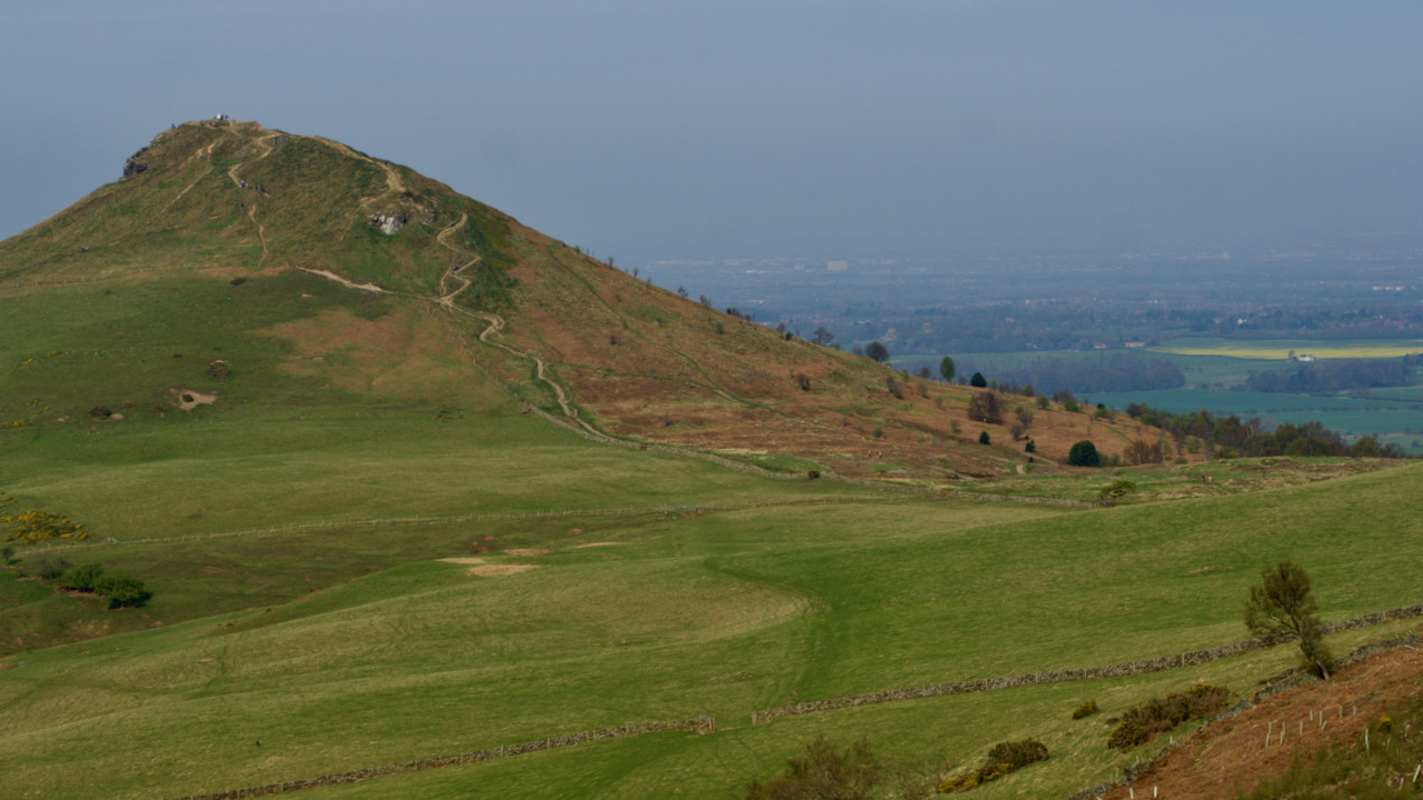
‘Ohensberg’
The bridleway between Aireyholme Farm and Hutton village, passing through the col on Roseberry Common, is referred to as ‘the great road of Ohensberg‘ in one of the foundation charters of Guisborough Priory of about 1120. The original is in medieval Latin of course but nevertheless it sounds as if it was a main route…
-
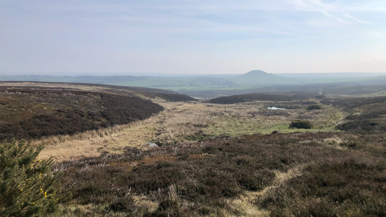
Swinsow Dale
Freebrough Hill dominates the view east on the climb up Smeathorns Road onto Moorsholm Moor. But the haze spoiled the view of Freya’s hill, so my interest turned to the small ‘dry valley’ of Swinsow Dale. Elgee calls Freebrough Hill a “roche moutonnée“, explaining that it was completely by the ice, which gave it its…
-
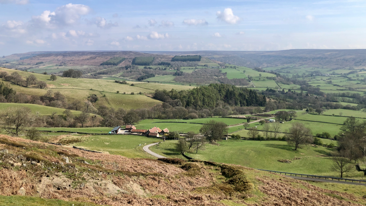
The lonely death of Christopher Hutchinson
A farm with a strange name, Stingamires. Named after the gill beyond. But what came first, the farm or the gill? The farmhouse and attached outbuilding are Grade II Listed. The farmhouse was built in the 17th-century as a thatched longhouse typical of the North York Moors and containing a full cruck truss. A year…
-
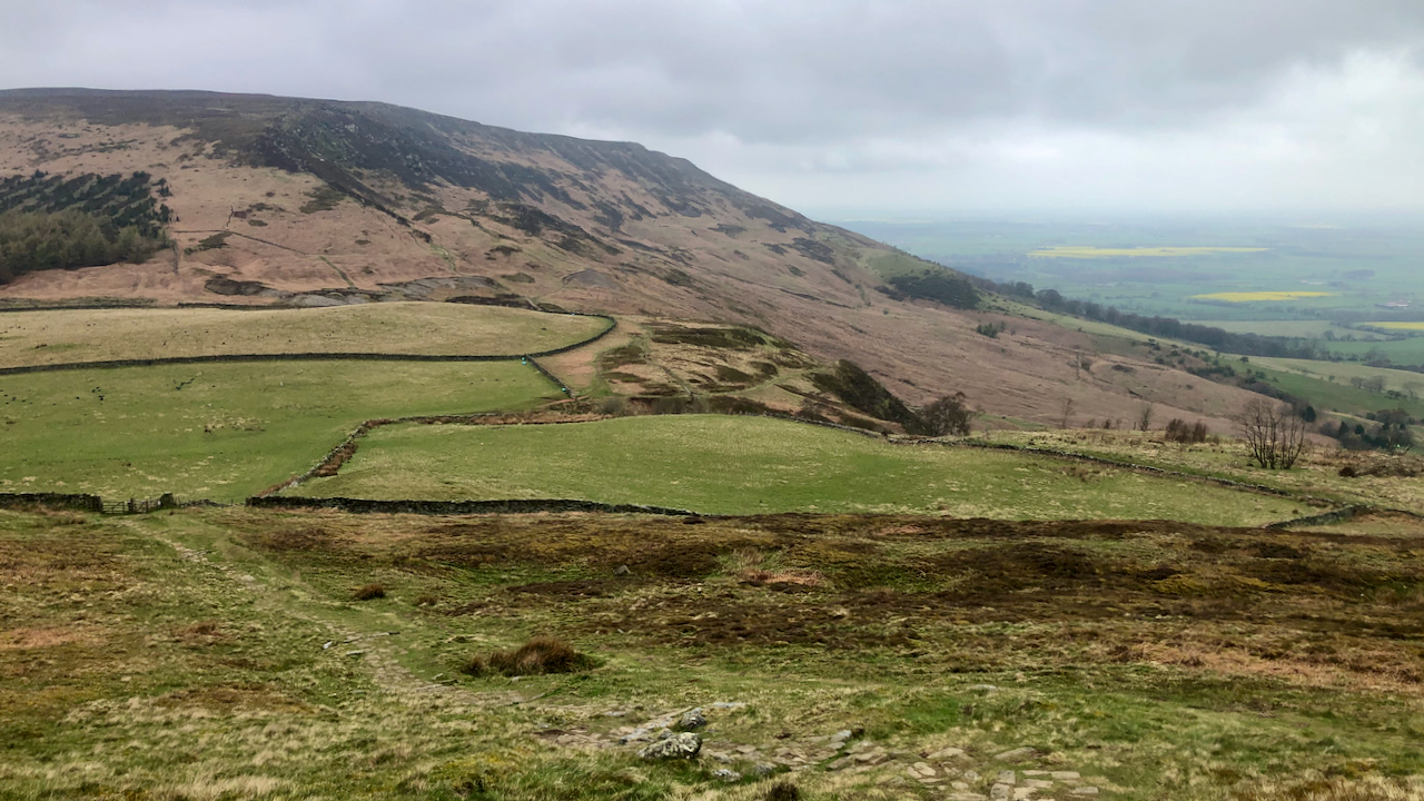
Kirby Bank — a battleground between a David and a Goliath
In 1854 there was a legal dispute over the boundary between Bilsdale and Kirby which has been decribed as a ‘David and Goliath’ legal battle. The plaintiff (he who brought the case) was the rich and influential Lord Feversham, Lord of the Manor of Bilsdale. The defendant was James Emerson who was described in the…