Category: North York Moors
-
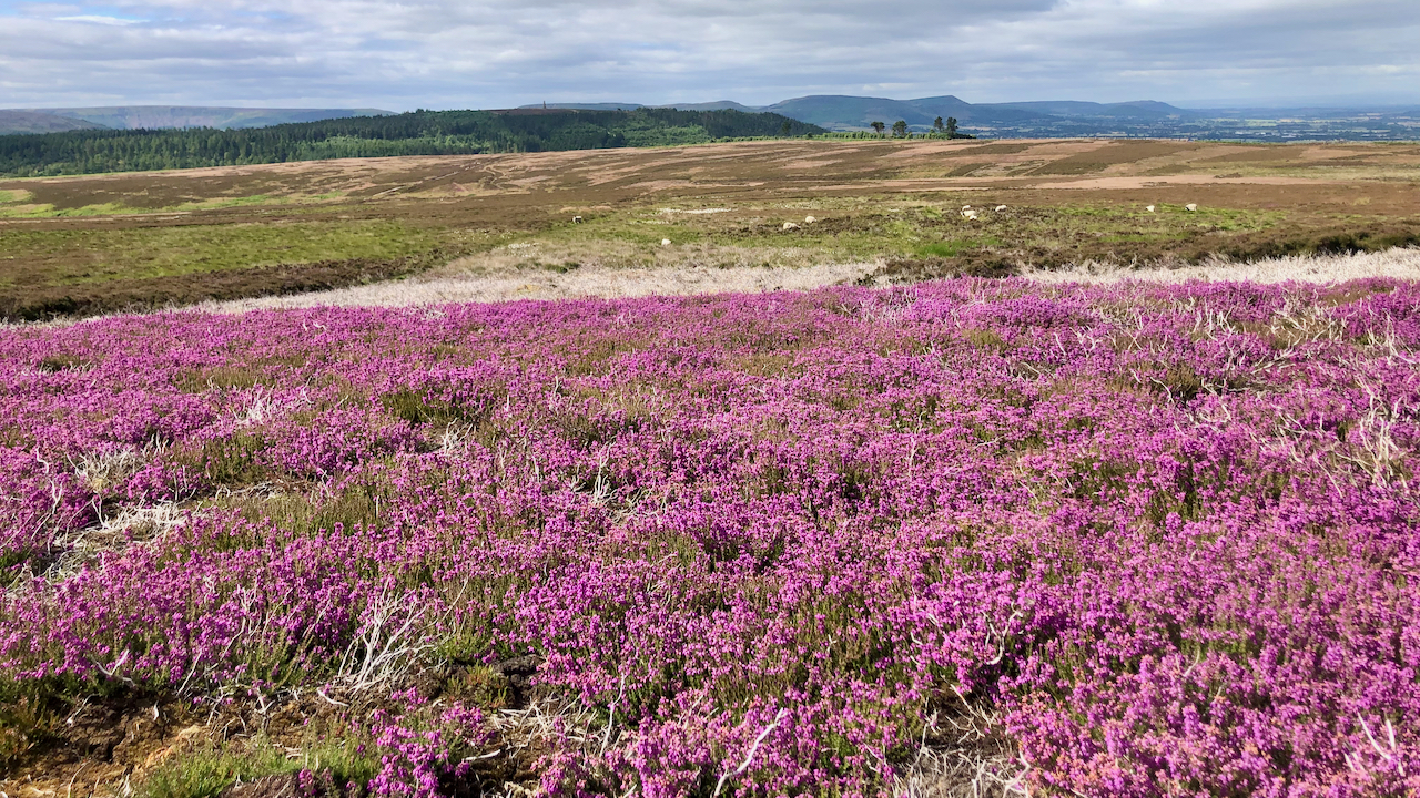
Erica cinerea
The moors will soon be a profusion of lilac with the blooming of the Ling, but for several weeks now the deeper purple blaze of Bell heather has been taking the glory. This swathe of Bell heather is the largest I’ve seen. Normally it prefers to grow in small clumps on drier ground, the tops…
-
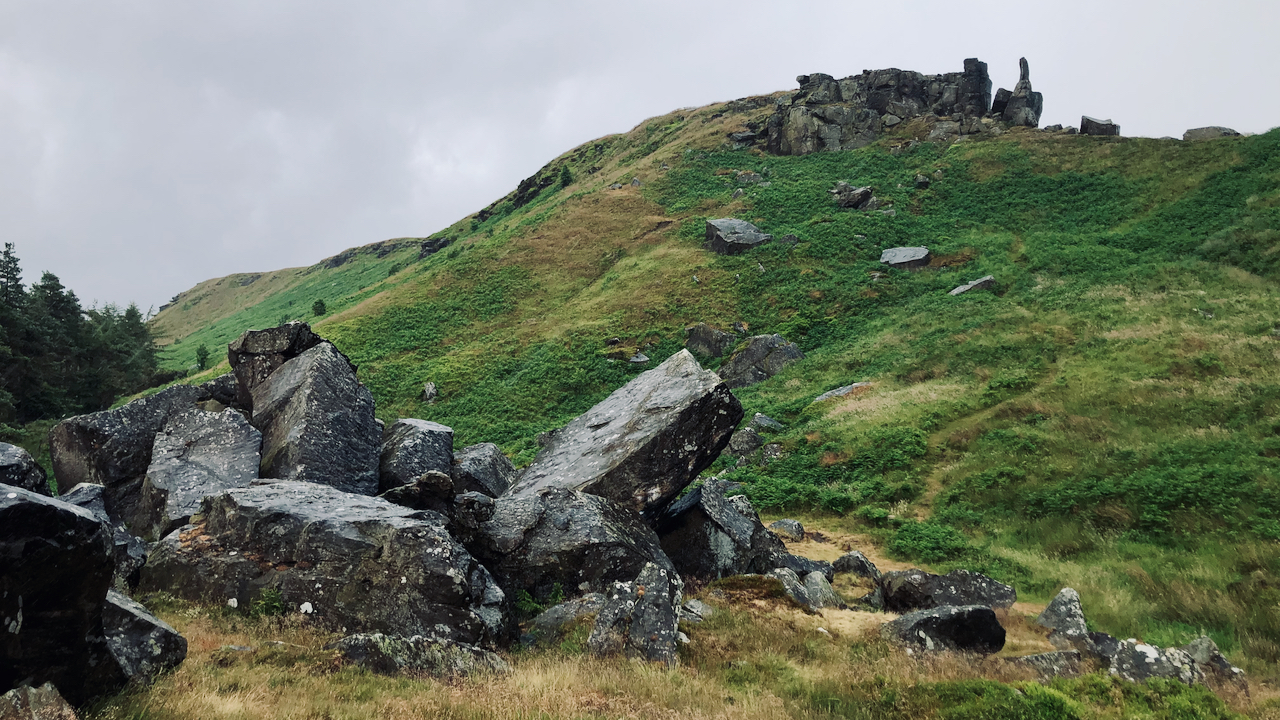
‘The Ancient British Druidical Logan or Rocking Stone‘
A couple of weeks ago I posted about the ‘Immense Landslip’ of 1872 on White Hill. And in that post I quoted from a newspaper article which suggesting paying a visit to ‘The Ancient British Druidical Logan or Rocking Stone‘ when viewing the landslip; ‘only distant a few hundred yards‘. I racked my brain trying to…
-
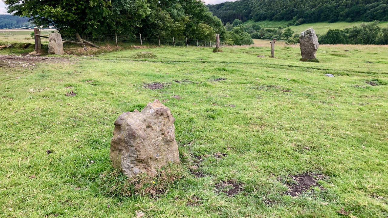
Blakey Topping standing stones
Could this group of standing stones be the remains of a stone circle? Although only three stones are visible in the photo, there is certainly a fourth in an old field bank and one source says a fifth, although I didn’t spot either of these. In addition there are two or three hollows in the…
-
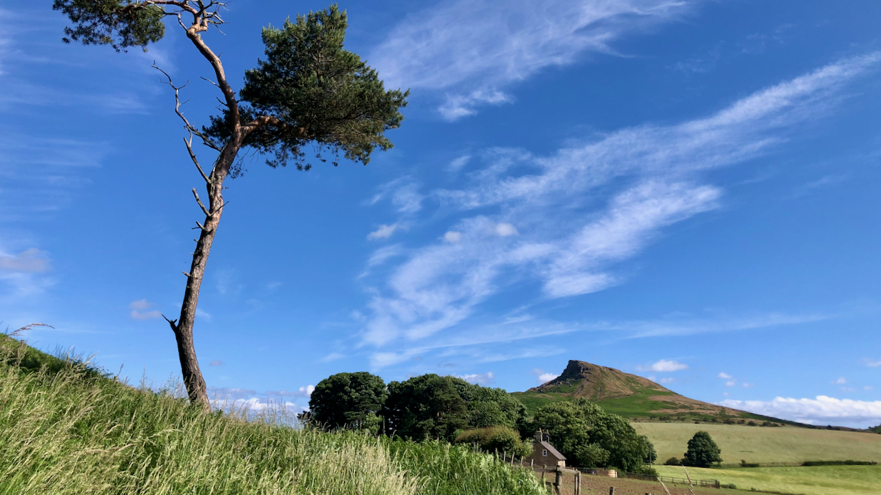
Another sunny morning, but a tad windy on the Topping
“Trace in the sky the painter’s brush — Then winds around you soon will rush” The last few days have dawned with blue skies and a smattering of cirrus clouds. High wispy cirrus clouds are composed of ice crystals and usually portend an approaching depression from the west and the associated deterioration of the weather.…
-
Lord of the Flies
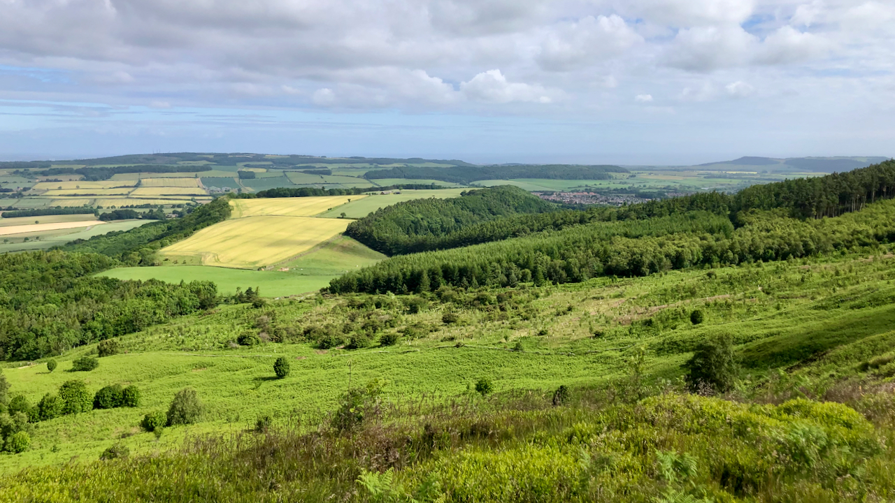
Fields of barley on Bousdale Hill golding under the Summer sun. OK, I made that word up. Gilding? Goldening? I was trying to find a link with William Golding, Nobel Prize awardee in Literature in 1983, knighted in 1988, and fellow of the Royal Society of Literature, who died on this day, 19 June, 1993…
-
Farndale
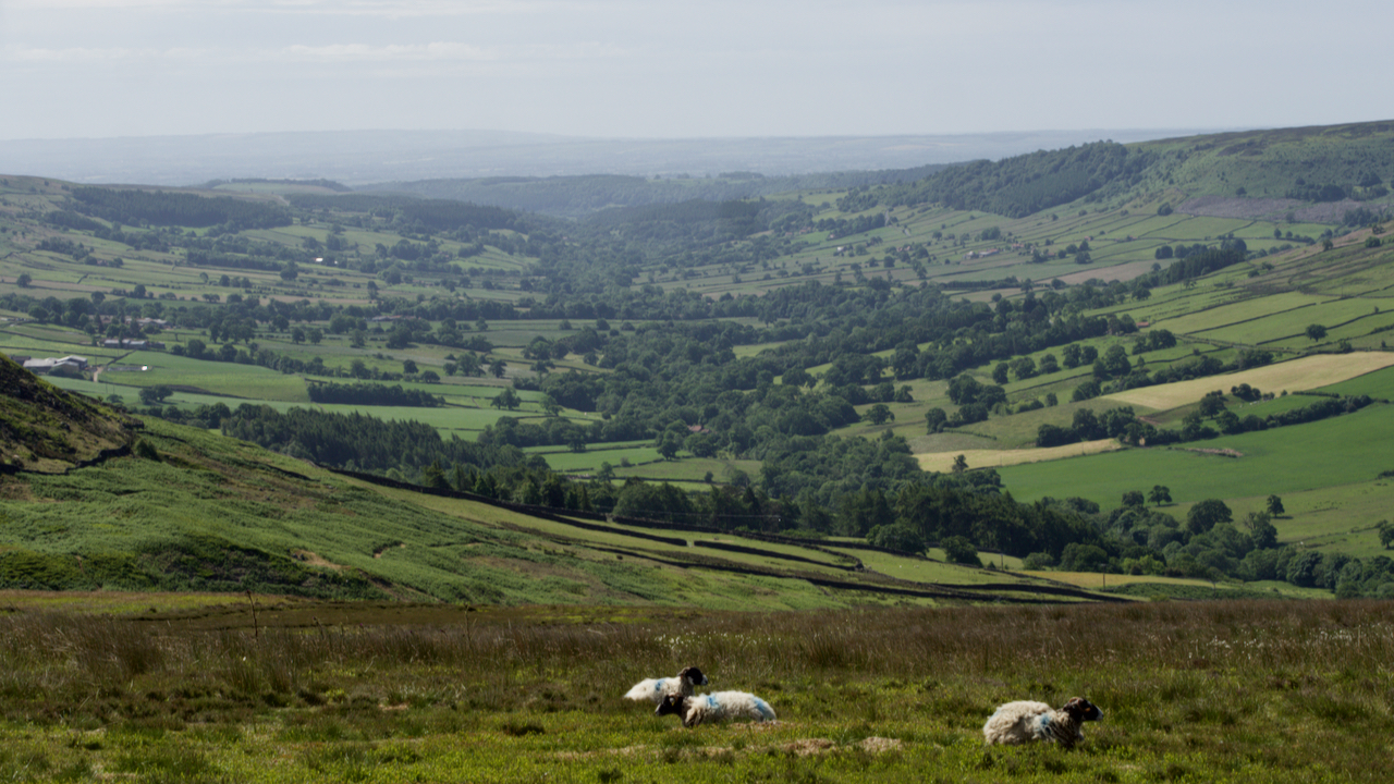
Whenever I see Farndale, my imagination is drawn not to its famous swathes of daffodils in the Spring but to what the dale would look like if Hull Corporation had had its way and built its proposed reservoir. The scheme was first mooted in the 1932, when the Corporation began negotiations to purchase 2,000 acres…
-
The Great Landslip of 1872
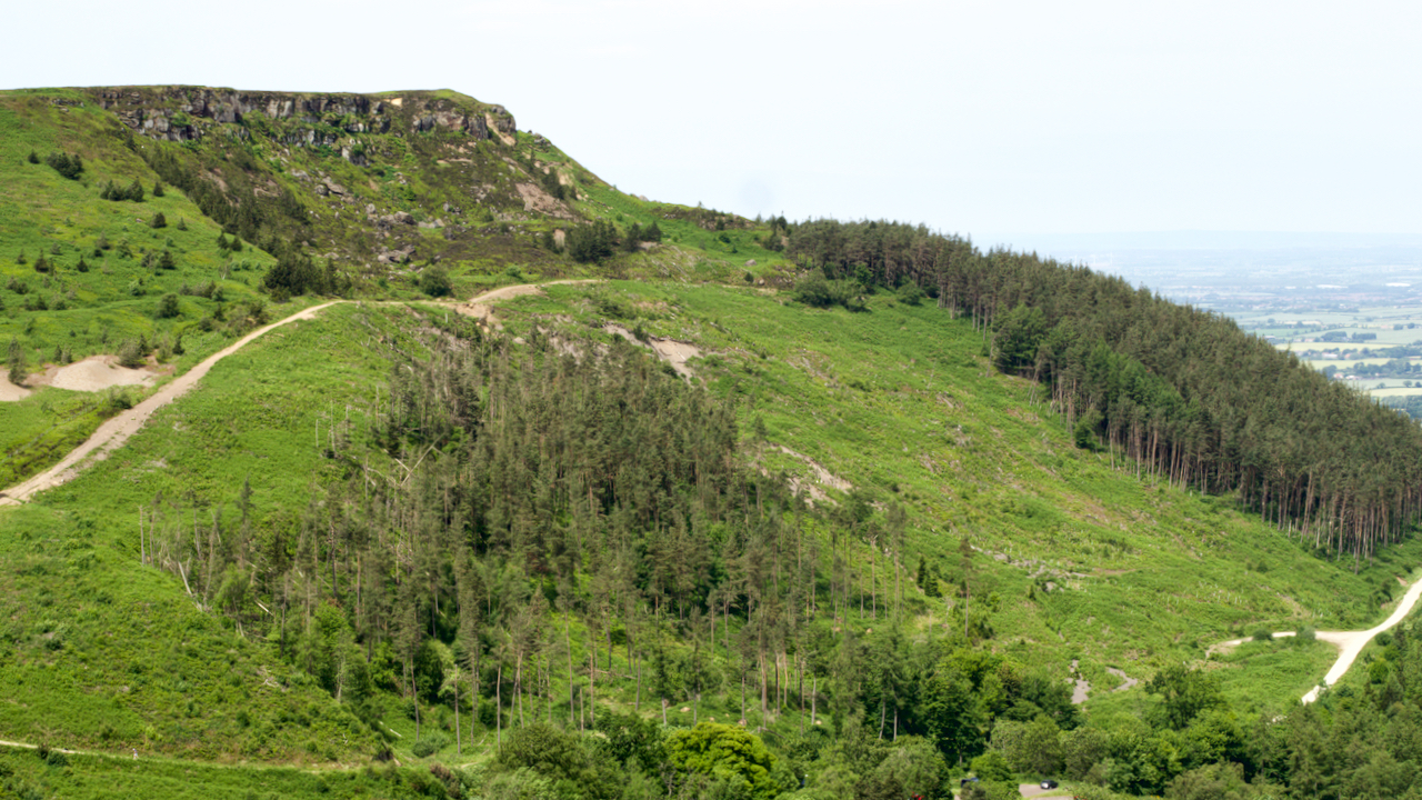
A hill of many names, Cushat Hill, White Hill, Clay Hill. According to the first O.S. Map published in 1857, the prominence is White Hill, the lower part of the road climb is Clay Hill Bank, and the upper part Cushat Hill. Just to be clear, Hasty Bank is the south face. The road of…
-
Low Bride Stones
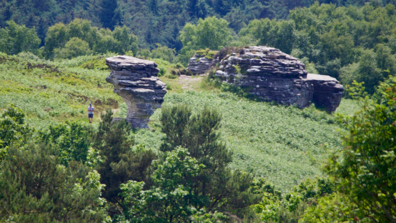
150 million years ago, as the Jurassic seas advanced and retreated, rocks of differing densities were laid down on the sea bed with a hard gritstone laying over softer sandstones. The sandstone under the weathered more easily resulting in these fascinating tors. A myth that is often quoted is of a petrified bridal party that…
-
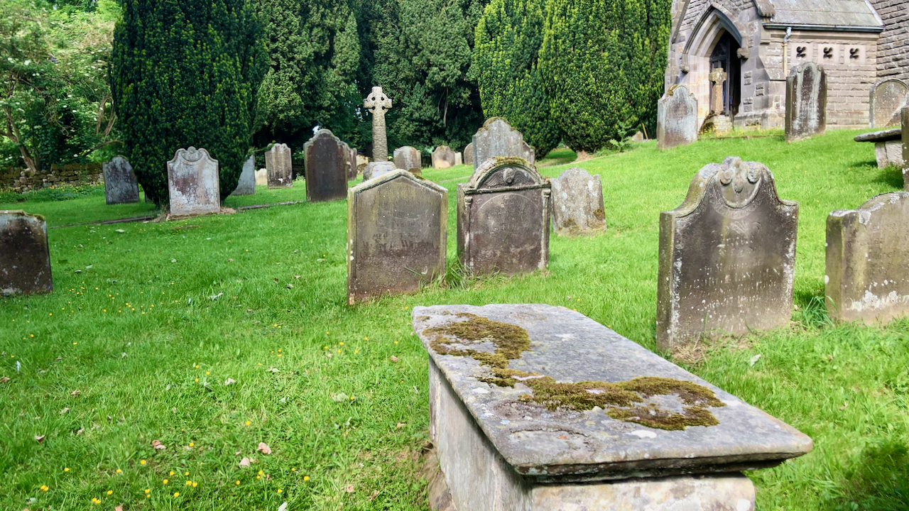
The Dunn’s Charity for the Benefit of the Poor of Kildale
In the churchyard at Kildale is an 18th-century chest tomb, which is a Listed Monument in its own right. The inscription is weathered and covered with moss and lichen so very hard to read but Cedric Anthony provides a transcript in his book ‘Glimpses of Kildale History‘: Here lyeth the body of Joseph Dunn who…
-
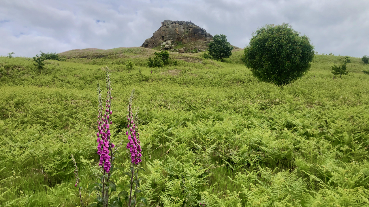
Roseberry
A day spent with the National Trust cutting back the growing bracken on footpaths. This particular path is the old bridleway up Roseberry, possibly used to take Victorian tourists up the Topping — although I haven’t any evidence to support this. The bridleway is little used now, but has to be cleared because it’s a…