Category: North York Moors
-
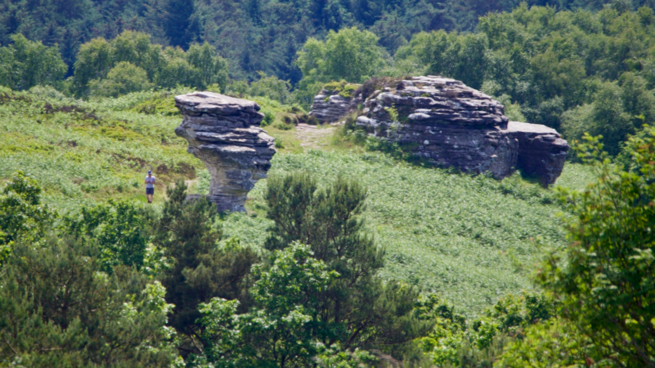
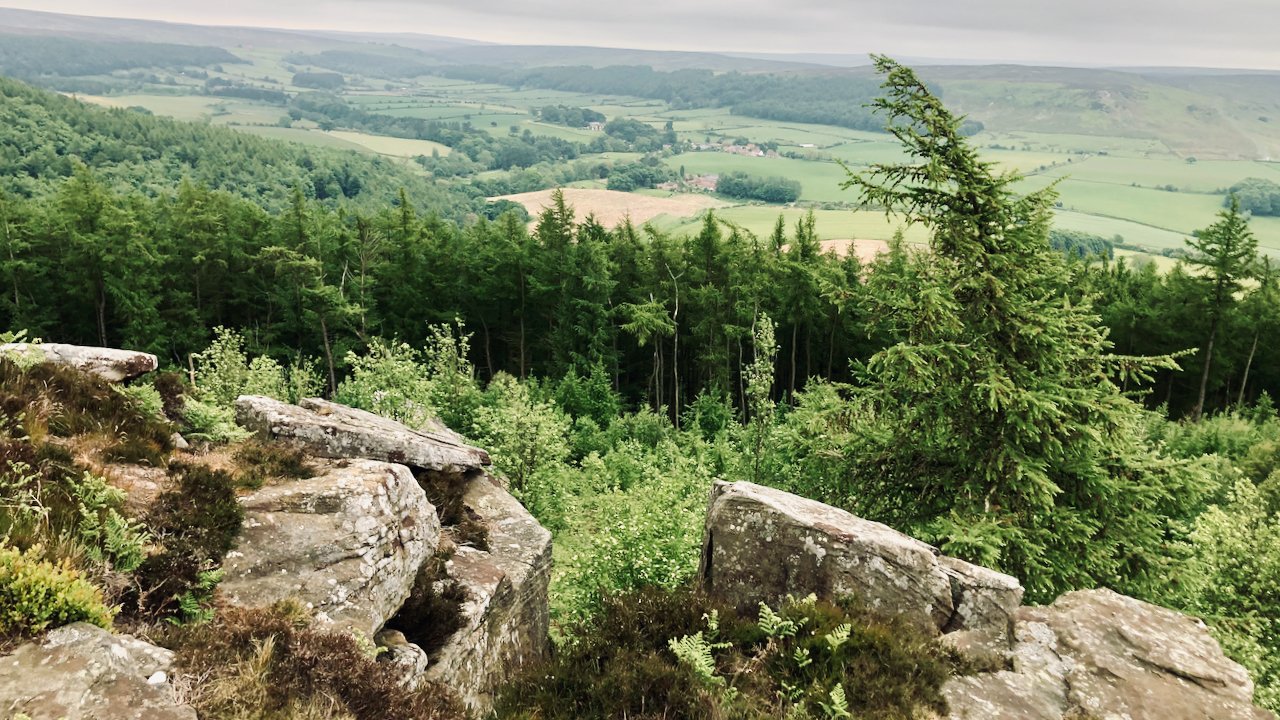
Low Bride Stones
150 million years ago, as the Jurassic seas advanced and retreated, rocks of differing densities were laid down on the sea bed with a hard gritstone laying over softer sandstones. The sandstone under the weathered more easily resulting in these fascinating tors. A myth that is often quoted is of a petrified bridal party that…
-
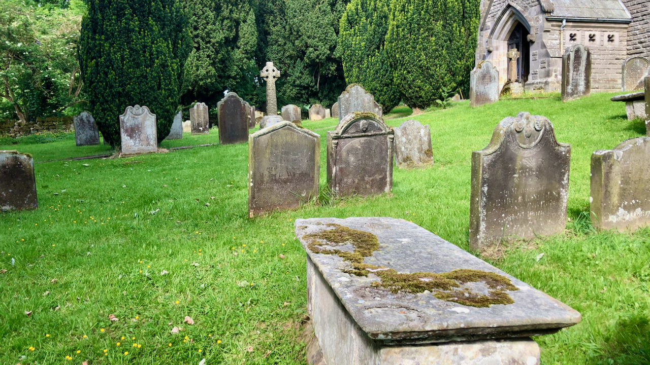
The Dunn’s Charity for the Benefit of the Poor of Kildale
In the churchyard at Kildale is an 18th-century chest tomb, which is a Listed Monument in its own right. The inscription is weathered and covered with moss and lichen so very hard to read but Cedric Anthony provides a transcript in his book ‘Glimpses of Kildale History‘: Here lyeth the body of Joseph Dunn who…
-
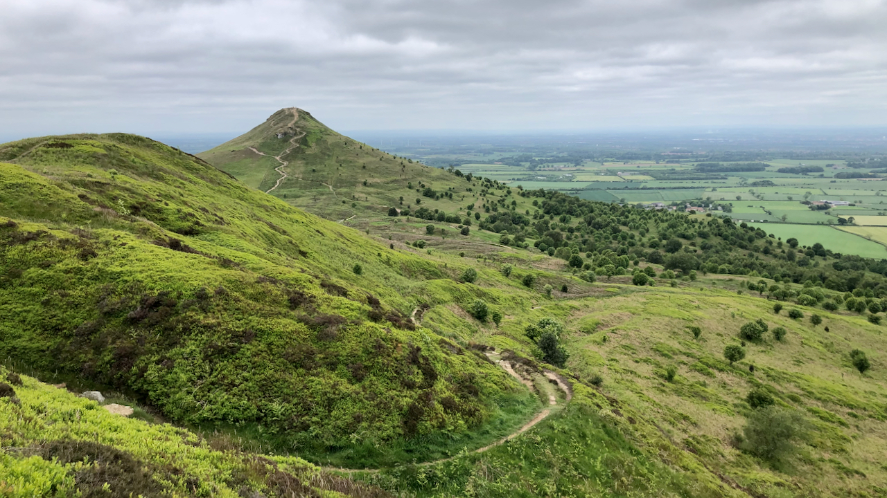
Roseberry
A day spent with the National Trust cutting back the growing bracken on footpaths. This particular path is the old bridleway up Roseberry, possibly used to take Victorian tourists up the Topping — although I haven’t any evidence to support this. The bridleway is little used now, but has to be cleared because it’s a…
-
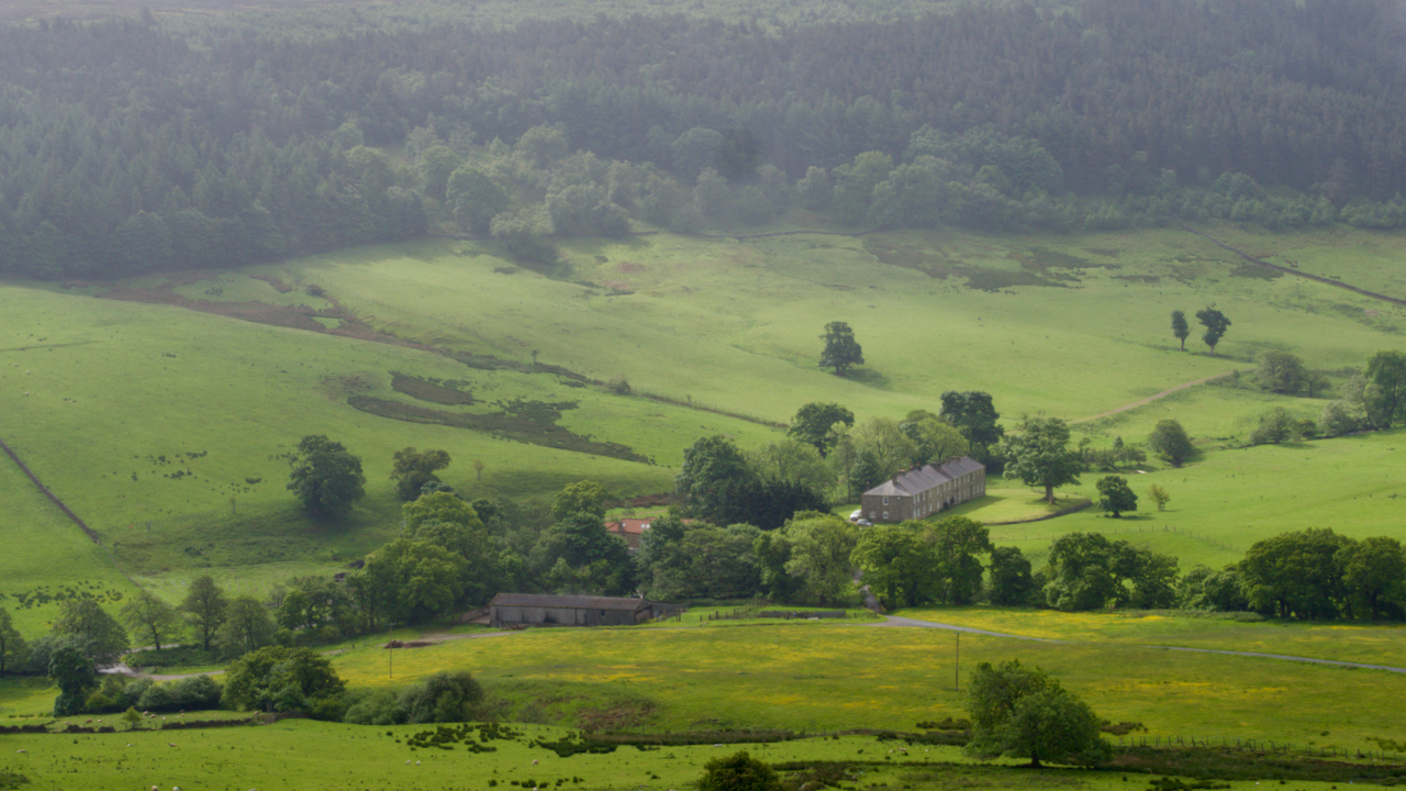
Baysdale Abbey
Very little remains of the 12th-century Cistercian nunnery; a large farmhouse now occupying the site. The farmhouse probably dates from the 17th-century although I read it has a date of 1822 above the date. A priory was founded in 1162 at Hutton Lowcross, near Guisborough; but soon the nuns were removed to the village of…
-
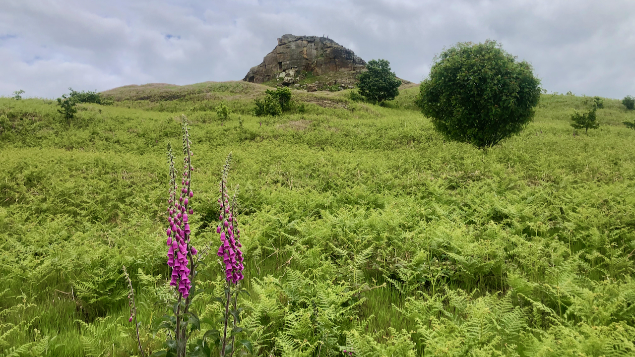
Ward Nab, Kildale
I’m actually quite glad the Jubilee is over even though it’s likely to be the last one we’ll have for a while. Public outpouring of sentiment is not my scene. The Last Jubilee. I guess I’m a reluctant monarchist, but I really don’t care. Neither do I care for Republicanism. What is the alternative? Whether…
-
Bridle Gill Road
A view of the north side of Little Roseberry. There is no indication of a footpath on the 1856 Ordnance Survey Six-inch map, nor the parallel gulleys. Instead a ‘Bridle Road‘ is shown, initially following this route, then taking a right angle, contouring around the nose and ascending on the north side. This Bridle Road…
-
Scarth Nick
I’ve found a photo of Scarth Nick taken in 1935 in The Times and though I would try to replicate it. Unsurprisingly. the view looks familar but one thing that is noticeable is the tree cover, it seems to be a lot more nowadays. The photo accompanied a report on the bequest of Scarth Wood…
-
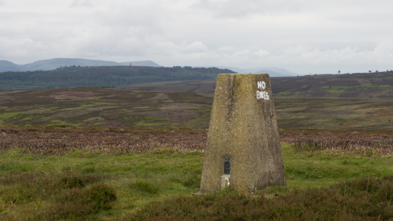
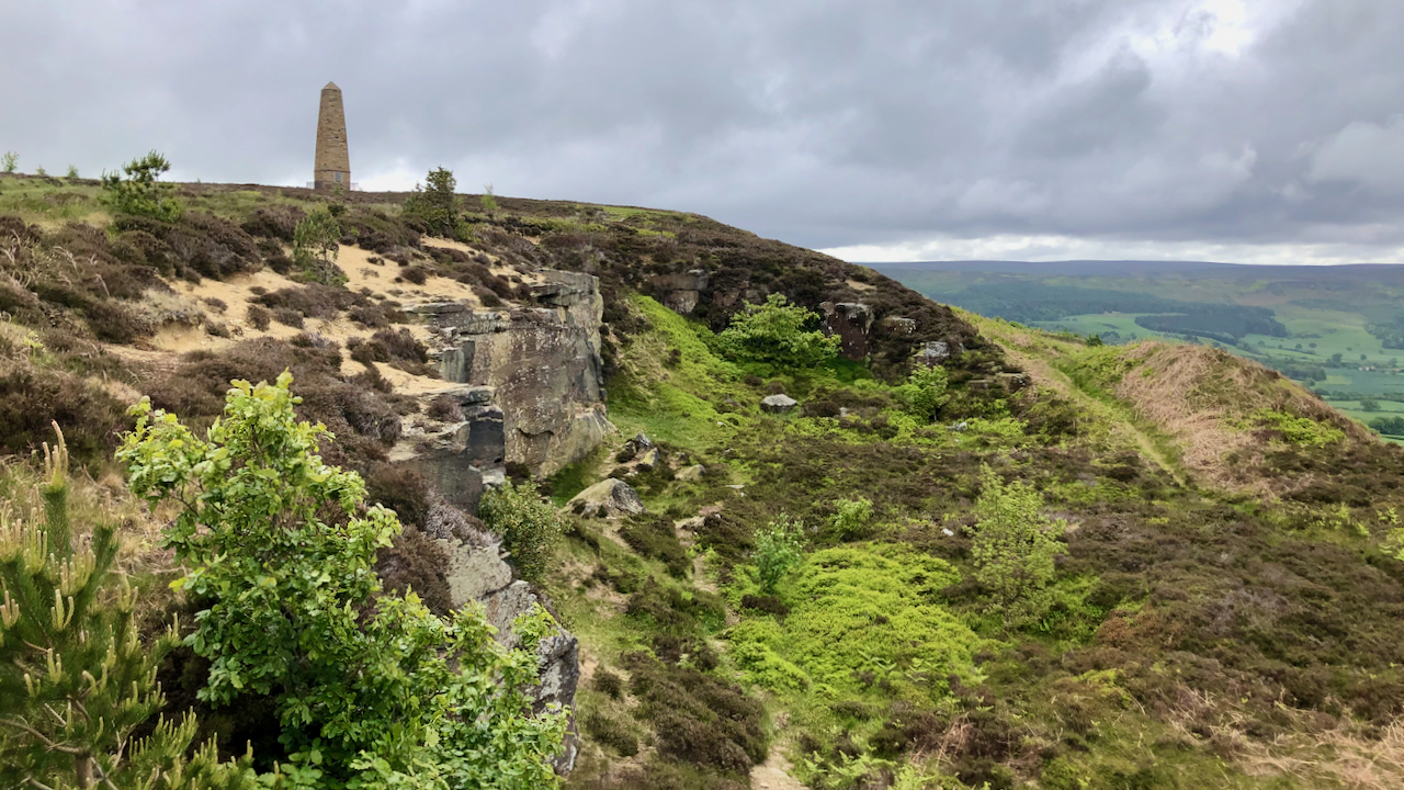
On Gisborough Moor
With a rather dull view across the patchwork moors of Codhill Heights and Great Ayton Moor to Capt. Cook’s Monument. In the foreground, the triangulation pillar on Gisborough Moor, 324m above sea level. Or 1,063 feet as our esteemed Prime Minister would have it. Or maybe he prefers cubits — a cubit being the distance between…
-
Shit Sack Day
Two years ago I posted about Royal Oak Day, 29th May, to commemorate when Charles II returned to London and was restored as King in 1660. On this day, true Royalists wear a sprig of oak leaves in recognition of Charles’s escape by hiding in an oak tree at Boscobel House, Shropshire, after his defeat…
-
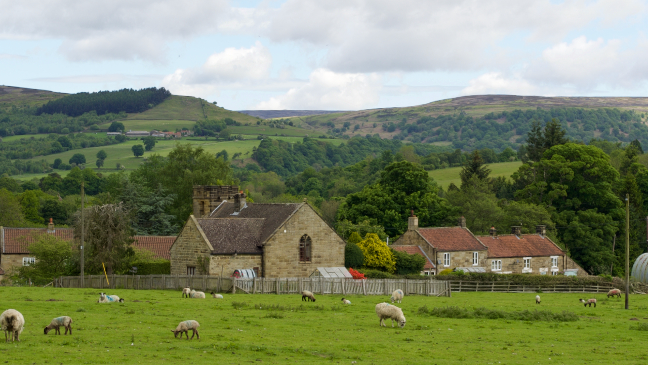
Fangdale Beck
I find it frustrating photographing villages, there are always cars parked along the lanes and many interesting buildings have undergone conversion into residential. Take for example the methodist chapel at Fangdale Beck, half way down Bilsdale. Built in 1927, last used in 1984, and since converted. To me, it is a rather unusual methodist chapel…