Category: North York Moors
-
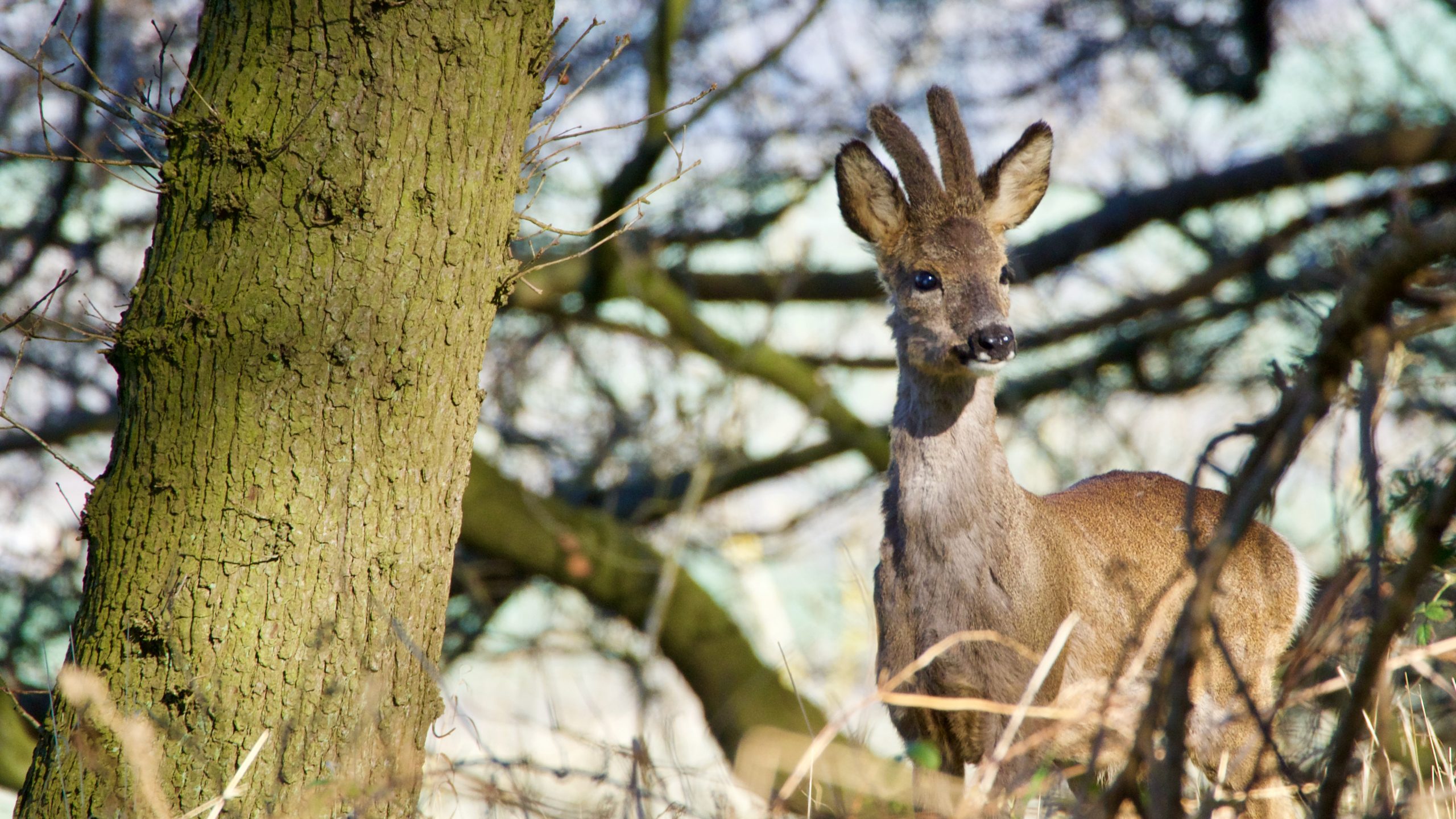
The graceful and capricious roe deer
I’ve had many close encounters with roe deer over the years. Many times have I disturbed them on my woodland runs and walks, just catching a glimpse as their bouncing white rumps quickly disappeared through the trees. Occasionally I’ve been lucky to get a closer look when the breeze has been in the right direction…
-
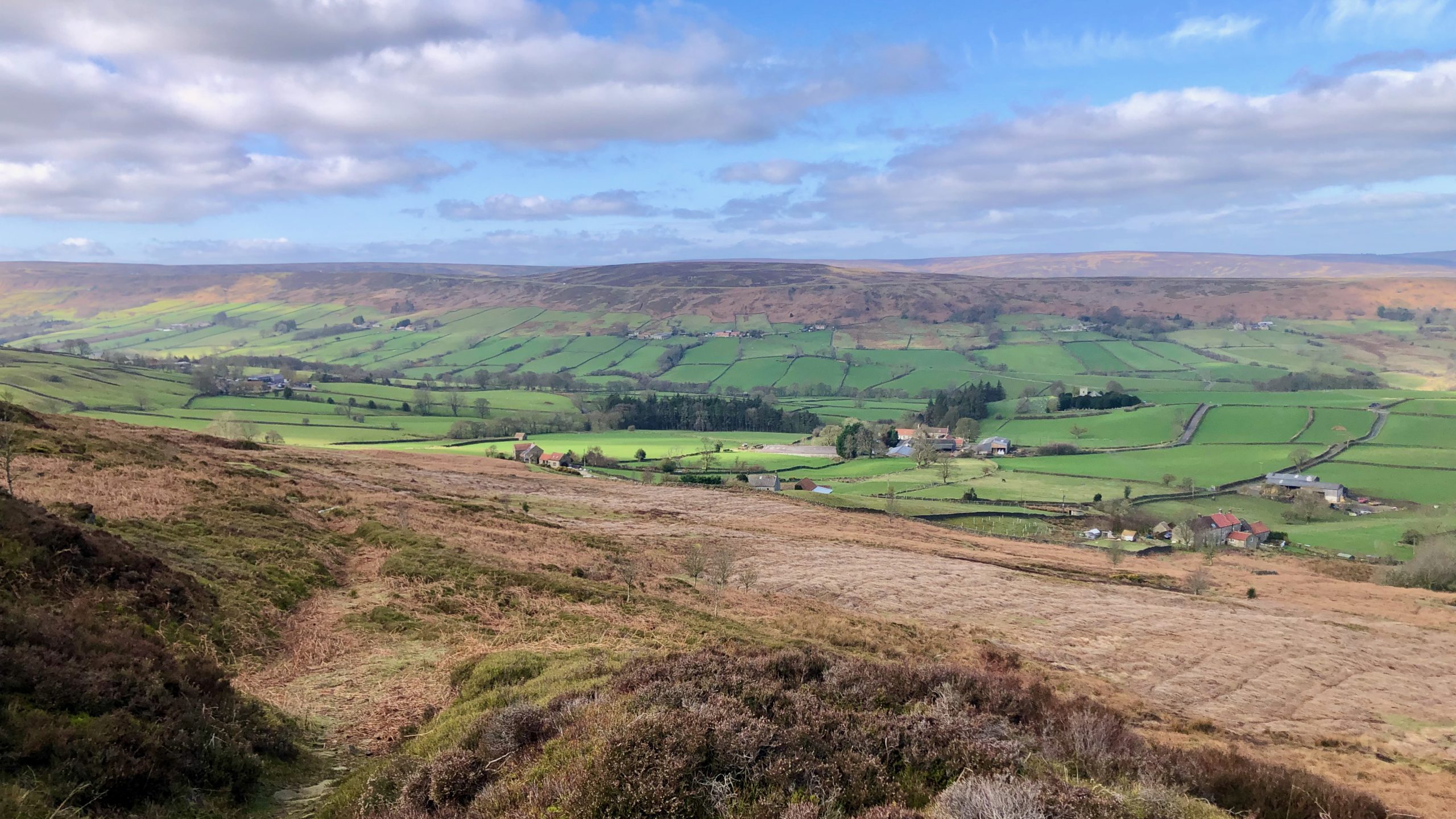
Revd. J C Atkinson’s ‘Forty Years in a Moorland Parish’
I have often referred to the Reverend John Christopher Atkinson’s book, ‘Forty Years in a Moorland Parish,’ published in 1891. It offers a detailed account of life in and around the village of Danby, and is a much thumbed addition to my bookshelf. This morning I ventured into Danby Dale, Atkinson’s former parish. Atkinson was…
-
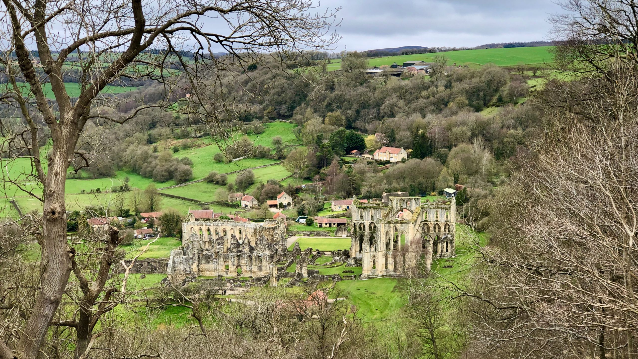
April Fools’ Day
And so we fly into April. Tempus fugit. I was planning on an April Fool, but didn’t have enough foresight. And by the time I post this, it’ll be past the 12 o’clock deadline. So, instead, I’ll just post about the history of the tradition. But first, my morning’s exercise. With the weather looking pretty…
-
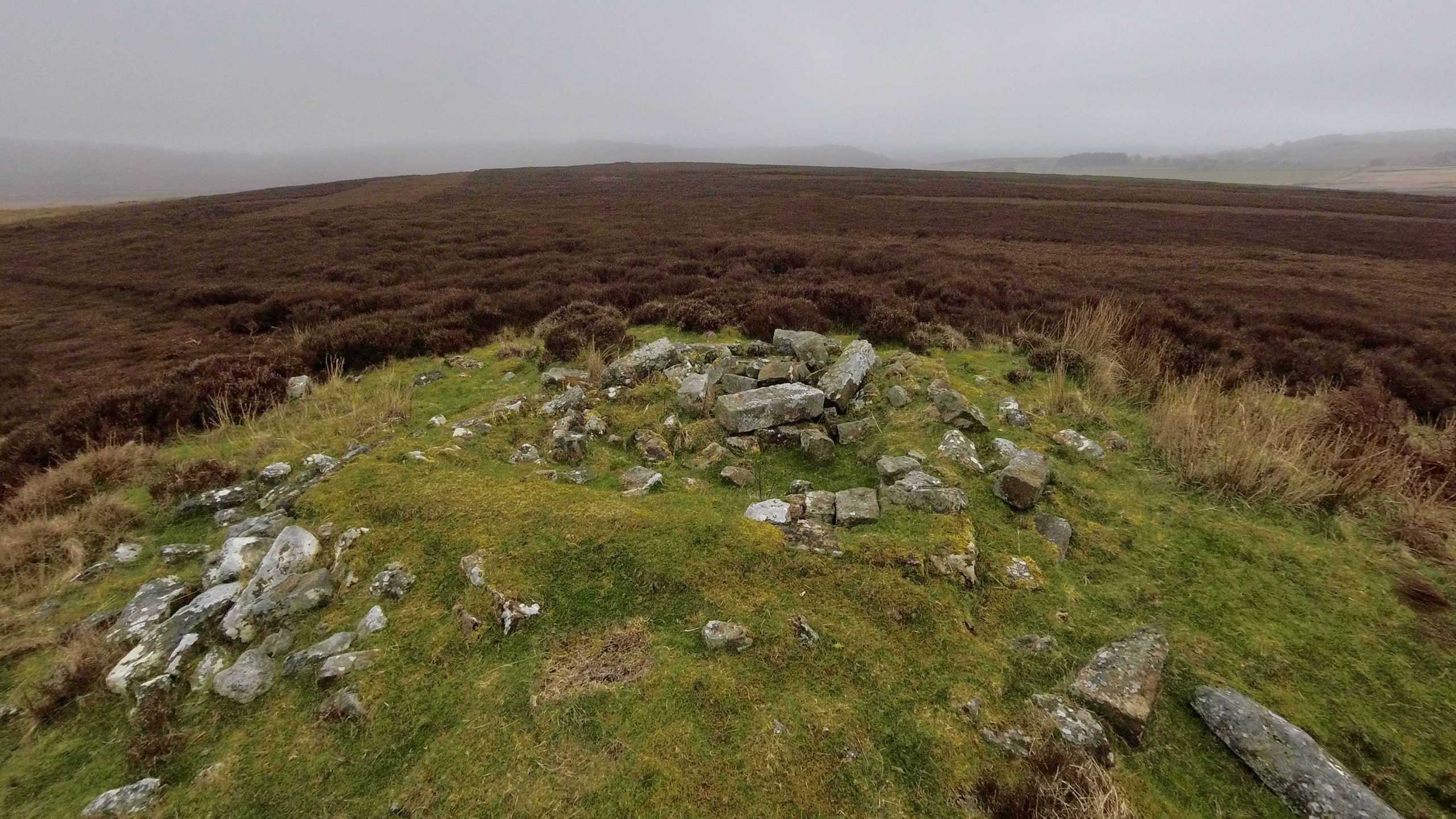
Miley Pike
Miley Pike is a type of prehistoric round burial mound that was built during the Late Neolithic period to the Late Bronze Age. These mounds are located in important positions throughout the North York Moors and are an important part of the area’s historical landscape. Round barrows are ancient monuments that were used for burials.…
-
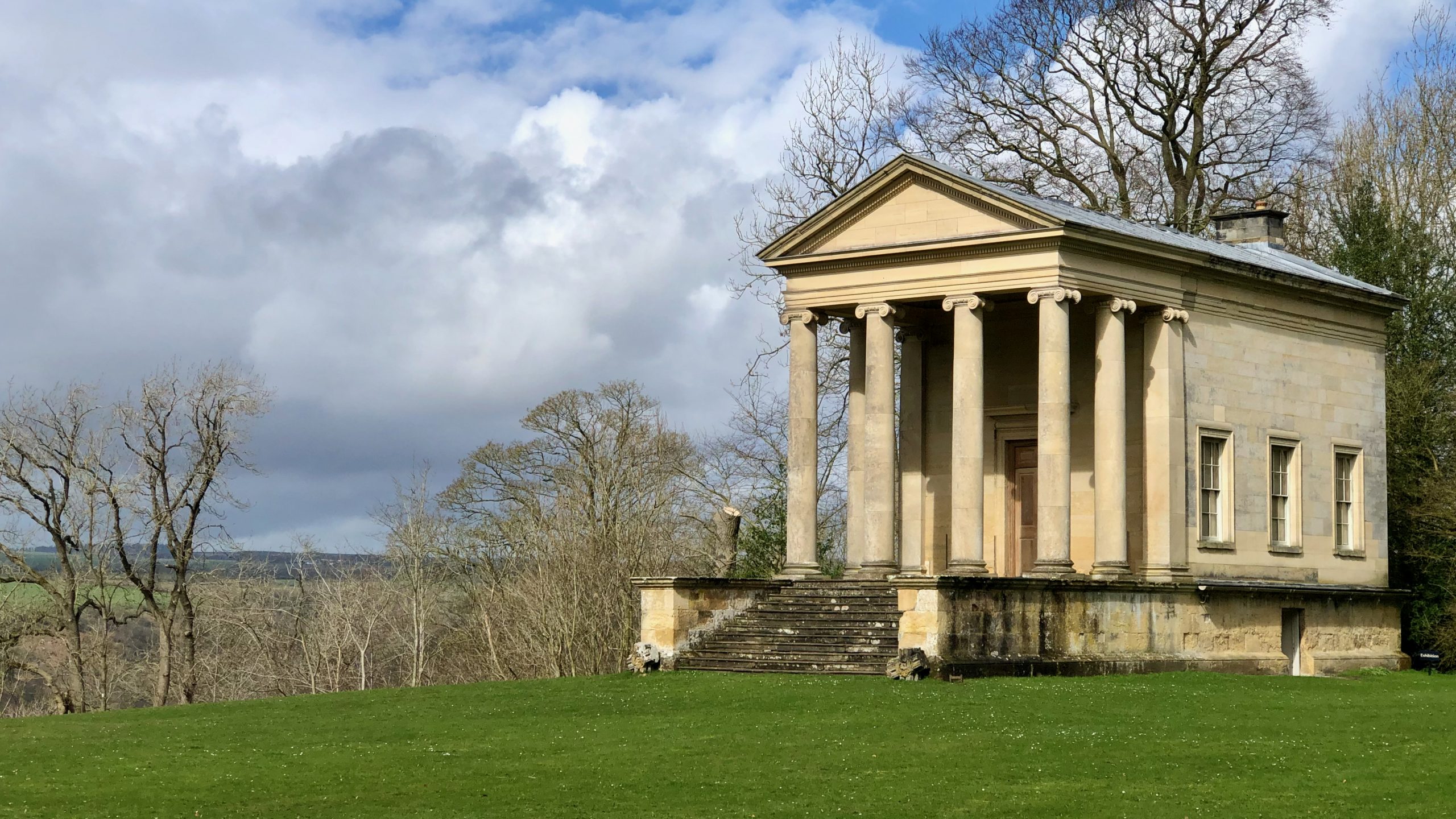
The Ionic Temple, Rievaulx Terrace
They say that things often come in threes, and that certainly seems to be the case for me this week, as I have encountered the Duncombe family for the third time. In 1687, a nouveau riche banker named Sir Charles Duncombe purchased the Rievaulx and Helmsley estates for the staggering sum of £90,000. He was…
-
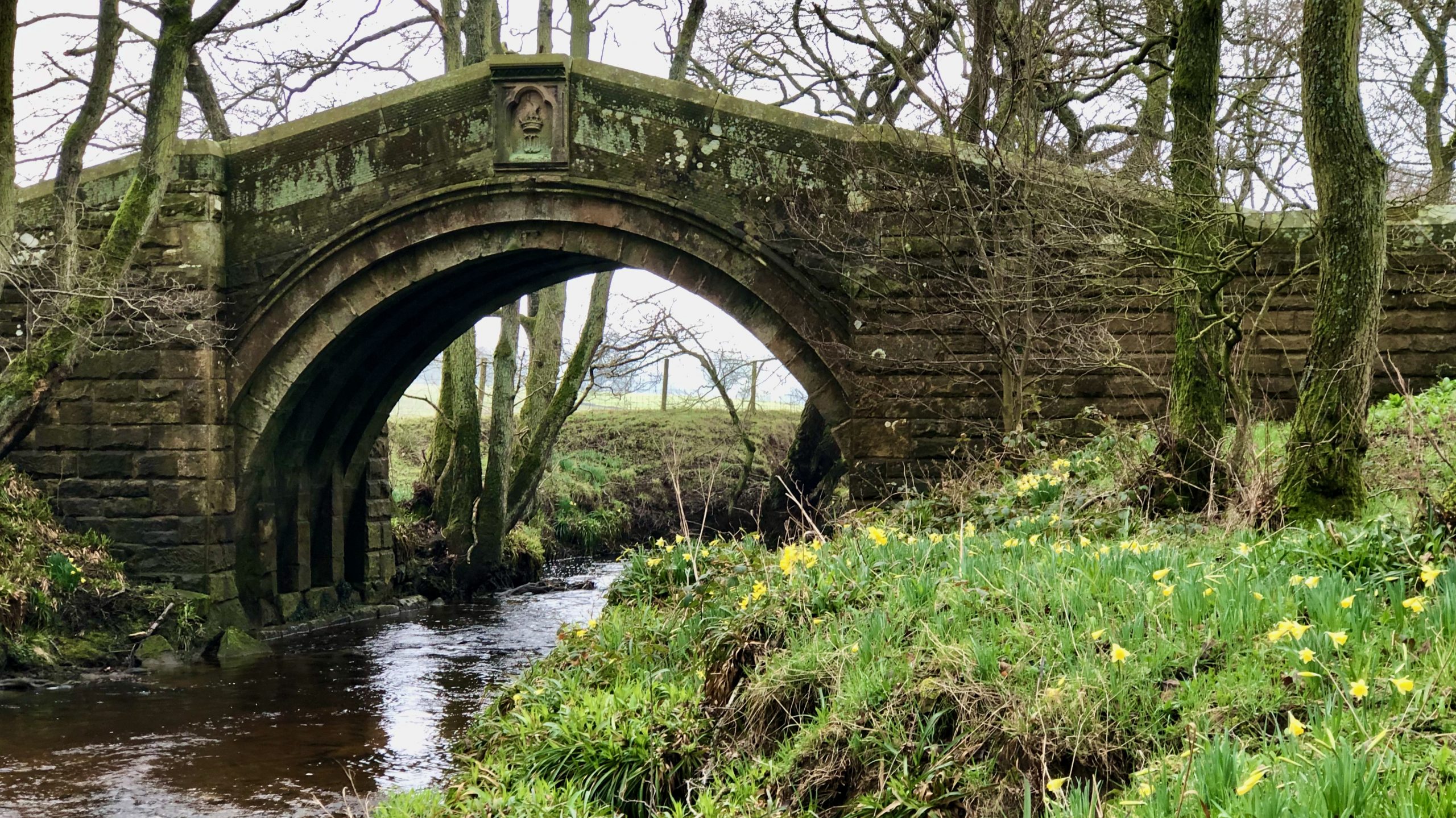
Hunter’s Sty Bridge
The River Esk has a few single-arched bridges, but the best one is probably the Hunter’s Sty Bridge. It’s located at the bottom of Huntersty, the ‘steep path of the hunters,’ just past the northern end of Westerdale village. Hunter’s Sty Bridge was most likely built in the late 13th century to provide access to…
-
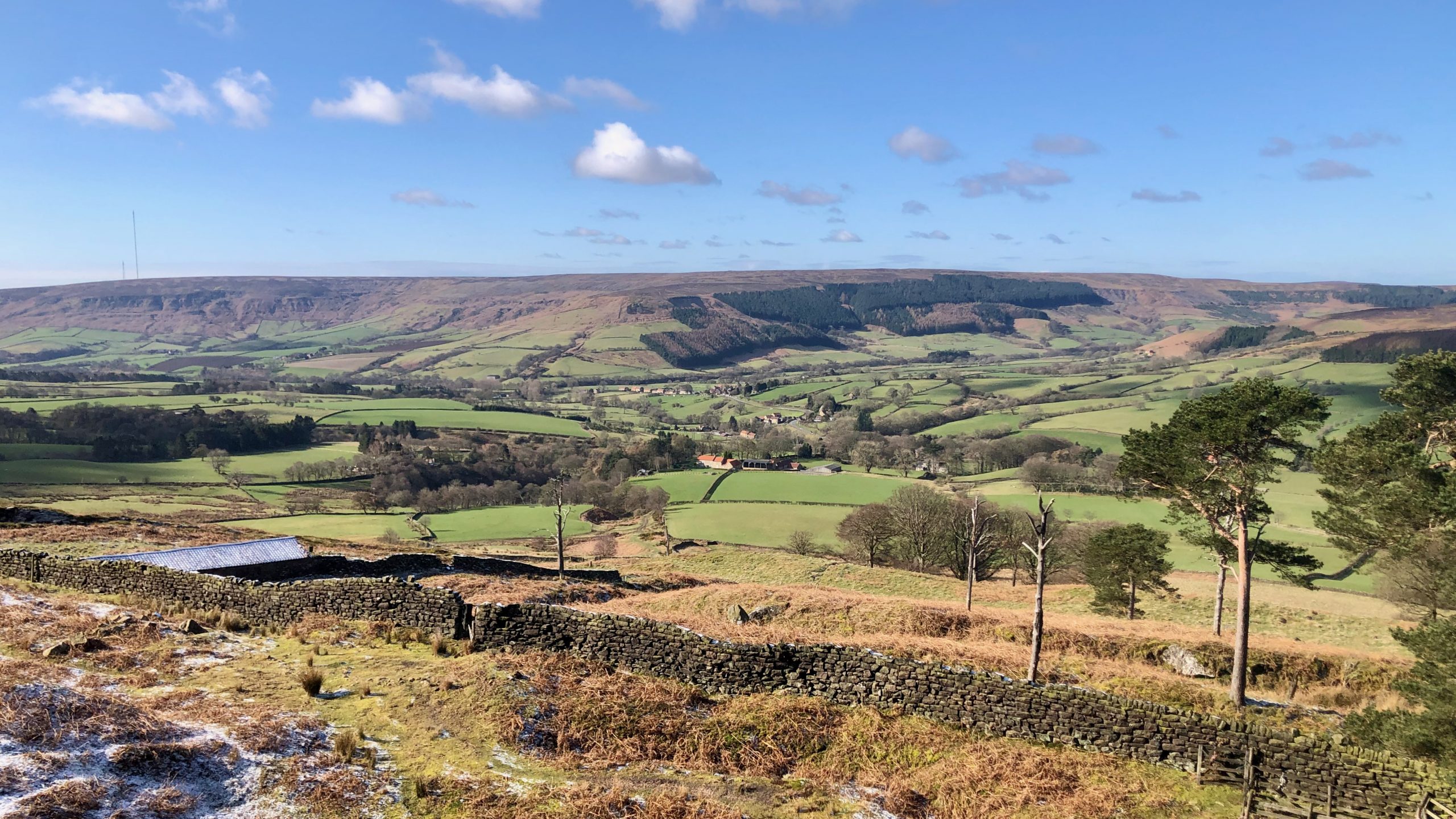
Lord Feversham’s Legacy: A peep into the history of Bilsdale
The main north-south route in the western half of the North York Moors winds through the beautiful Bilsdale valley. From the northern point of Clay Bank to the southern point of Newgate Bank, the dale is dotted with farms that boast vast fields of pasture, all bounded by sturdy dry-stone walls. The farms are enclosed…
-
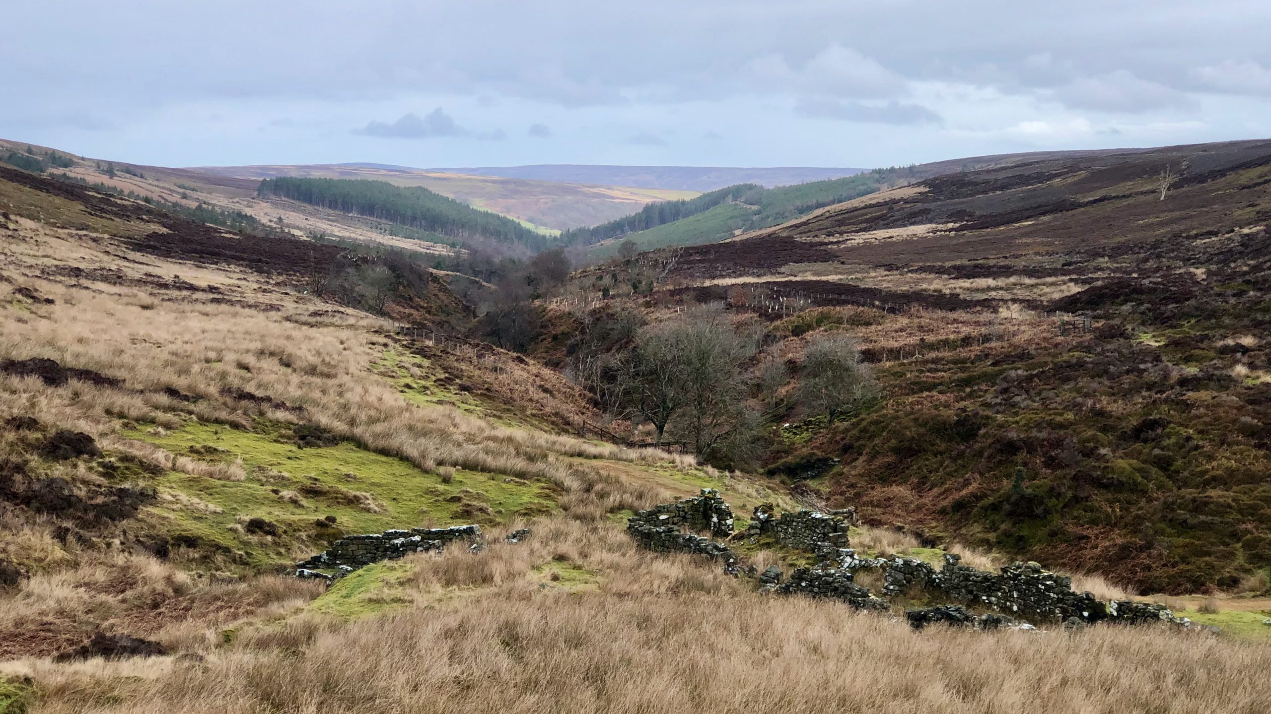
Coal Mining in Baysdale: success or failure?
The North York Moors might not be the first place you think of when it comes to coal mining, but it was actually a thriving industry at the end of the 18th century. Most of the mining areas were located along the high watershed to the south of the Esk valley, like Rudland Rigg and…
-
Butts and bullets: A bimble up Butt Lane
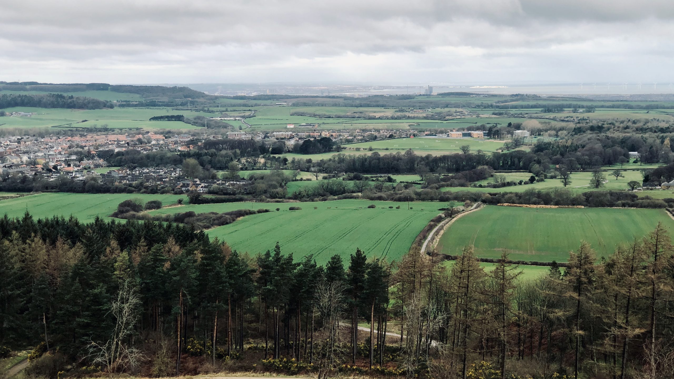
Walking up Butt Lane (right of centre in the photo), I couldn’t help but notice the “tree-mendous” (sorry) amount of felling that’s taken place in Guisborough Woods in recent years. And, lo and behold, I saw an obvious path leading upwards. I had never seen it before, which turned out to be the work of…
-
The Oak — from shipbuilding to fairies
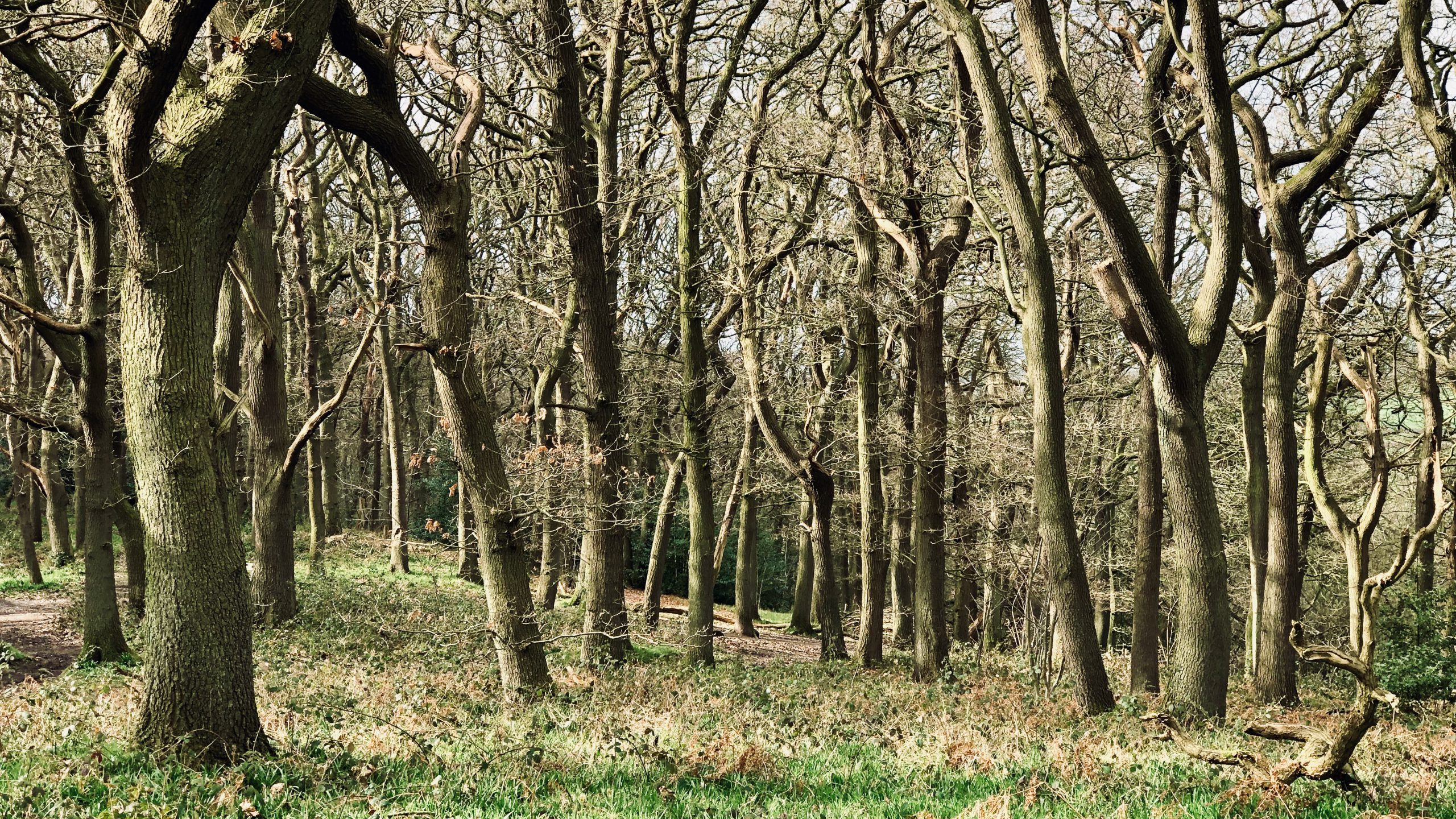
Newton Wood is a predominately oak woodland below Roseberry Topping. Oak is known as the “King” of trees, with his consort being beech, the “Queen” of the woods. There are two types of oak trees found in Newton Wood: Sessile and Pedunculate. Sessile oak is the more prevalent, with the oldest being located in the…