Category: North York Moors
-
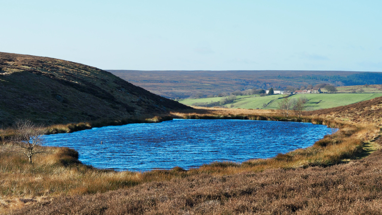
The Tarn, once a winter playground
On Two Howes Rigg, south of Goathland, is a dainty pool named “The Tarn.” It is manmade, built in the early 20th century. The early O.S. map show the area with marsh symbols. Between the wars, this pond transformed into an icy playground during severe winters. Goathland, it seems, morphed into a local St. Moritz…
-
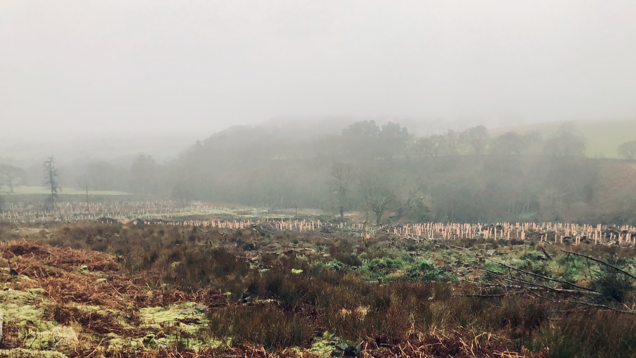
Bransdale: a cacophony of gunshots — too close for comfort
A day spent volunteering with the National Trust in Bransdale, even though the landscape was somewhat elusive. During our journey over, we left a clear yet overcast Esk valley, climbing into a thick layer of cloud at Rosedale Head. This blanket of fog lingered persistently, keeping us smothered throughout the day. But, in a fleeting…
-
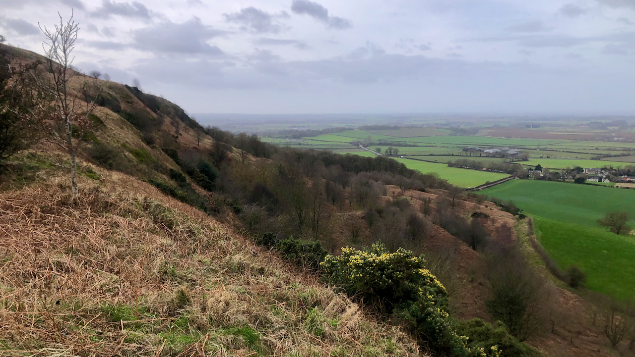
Cockle Scar — where is the Cat Trod?
Best viewed on the approach from the direction of Guisborough, Roseberry Topping boasts a conspicuous shelf around the 200-metre mark called Cockle Scar. Like a tiered cake, it is the top edge of the sandstone stratum recognised by geologists as the Staithes Formation. In his memoirs, ‘Half a Century of Sport,’ Sir Alfred Pease, a member…
-
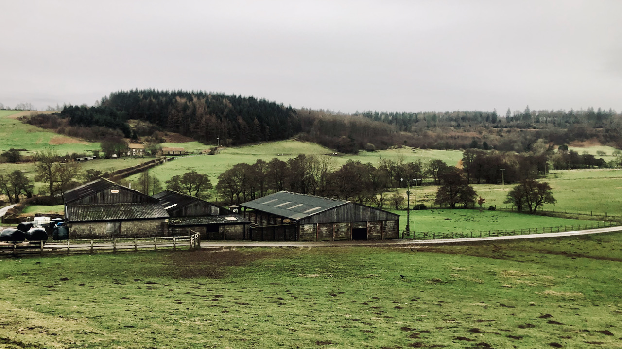
Smelly Farm and the 18th Century Enclosures
A rather drab photograph capturing a drab-looking collection of barns, reflecting an exceptionally drab overcast day. The presence of a strong wind and rain in the air adds to the overall drabness. Lounsdale — sometimes spelt Lonsdale — stands before me in all its aromatic glory. The barns, once known to my friendship group with…
-
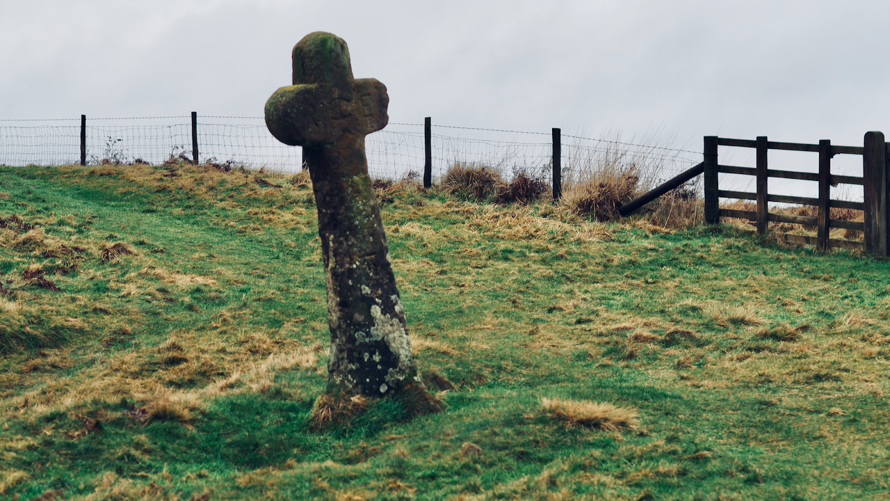
Malo Cross — From Land Grabber to ‘Ass-Pain’
Behold, another photo from yesterday’s saunter around Saltergate. Malo Cross, an imposing structure, proper cross, if you will. According to Historic England, it was erected by Sir Richard Egerton in 1619, serving as a boundary marker for his manor of Allerston. The upper part, the actual cruciform segment, appears to have undergone some repair. This…
-
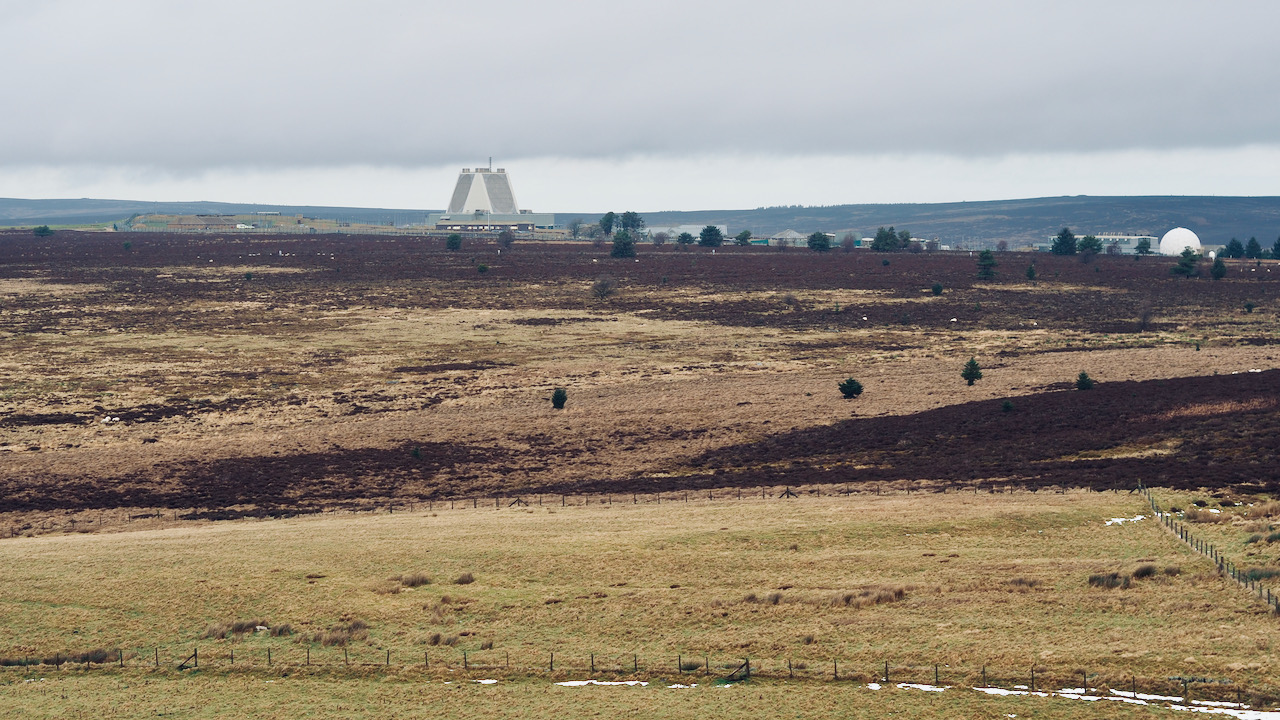
RAF Fylingdales and The Big Freeze of 1963
As we batten down the hatches in preparation for Storm Isha, the more mature of you might remember the so-called ‘Big Freeze of 1963‘, during the winter of that year. It stood as one of the coldest winters since the notorious one of 1946/7. Temperatures plummeted, leading to the freezing of lakes and rivers. The…
-
The Great Ayton Scallywags
A certain topic that has occupied my thoughts for some time is an Auxiliary Unit Patrol that was stationed in Great Ayton during World War II. This covert unit differed significantly from the stereotypical ‘Dad’s Army.’ I recall hearing at some point that, in the event of a German invasion, the anticipated life expectancy for…
-
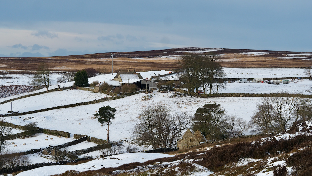
Clitherbecks — Coal, Cottages and Calamity
Clitherbecks, a very lonely and remote place on the moors near Danby, yet attaining a certain picturesque quality beneath the blanket of snow. The dale is renowned for its coal mining legacy. Modest, isolated shafts were operated using a ‘horse gin.’ Upon reaching the seam, horizontal headings were dug in various directions until deemed too…
-
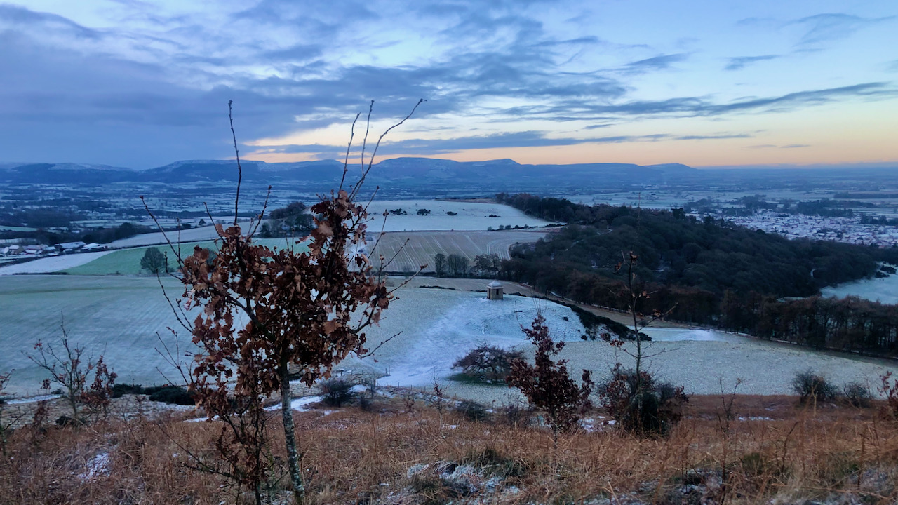
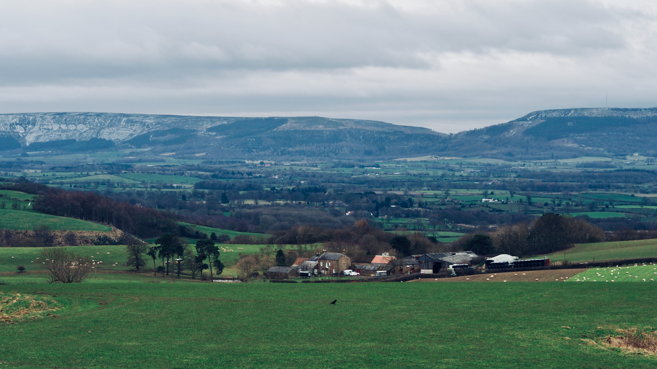
Looking down on the folly and a marcescent oak
A disappointing coverage of snow. A mere smattering. I reckon we had slightly more down in the village, but the Cleveland Hills in the distance appear proper snow-clad. This delightful early morning view is looking down on the folly from the western side of Roseberry. An oak sapling, stubbornly holding onto its dried leaves, occupies…
-
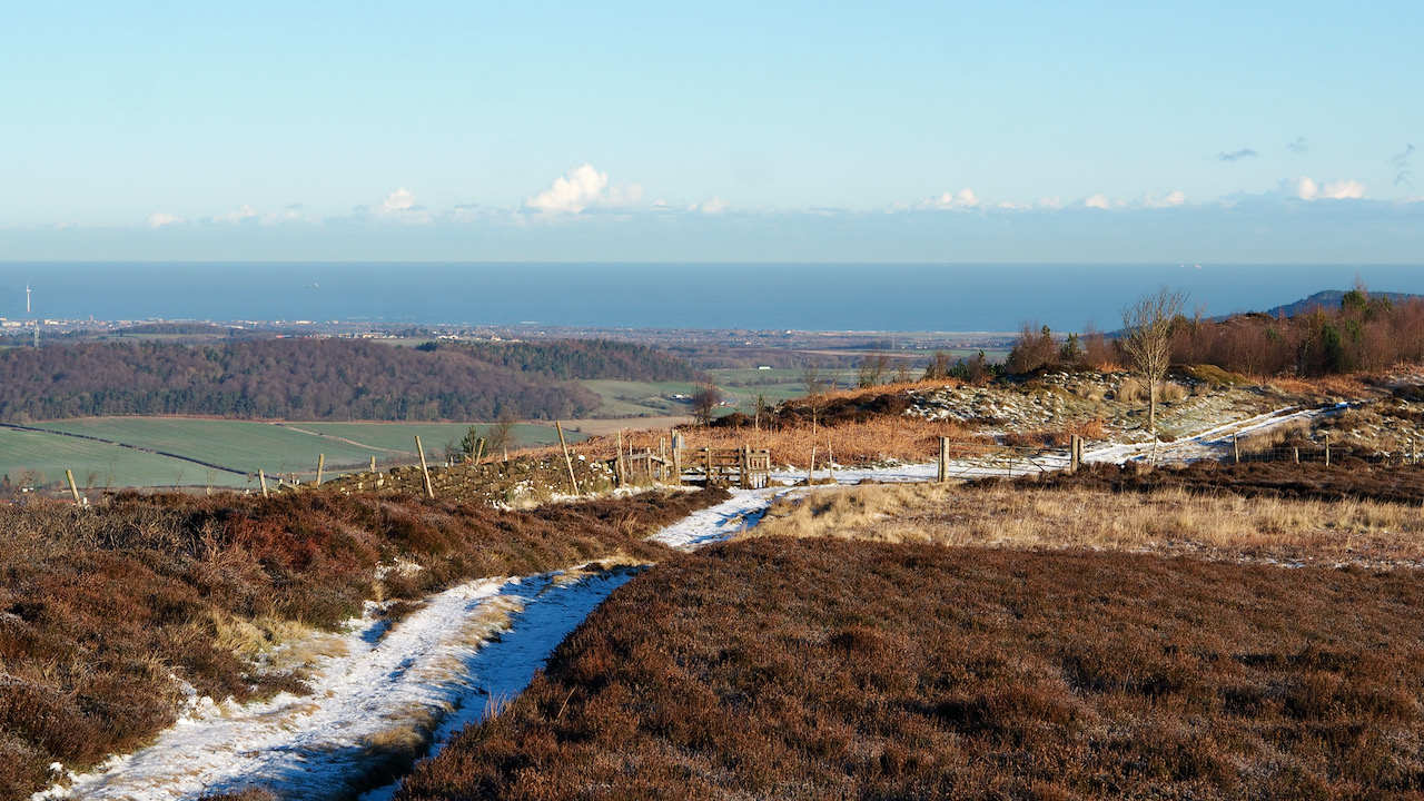
Freeport Fearfulness
Even though this photo of Ryston Bank on Newton Moor was taken right within the North York Moors National Park, every square inch captured, right up to the North Sea in the distance, lies within the Teesport ‘Freeport outer boundary’, an arbitrary demarcation unmistakably drawn by some bureaucrat armed with nothing more than a pair…