Category: North York Moors
-
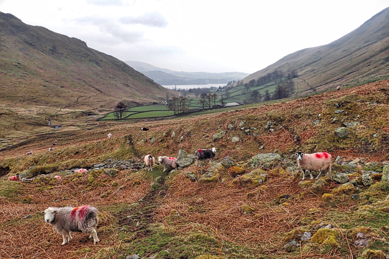
Fusedale
A new dale bagged. I’ve never been in Fusedale before, Not counting Howtown, of course, the hamlet at the foot of the dale on the shore of Ullswater. Fusedale’s sheep show no fear and never moved as I passed, just continued chewing, Open Space Web-Map builder Code
-
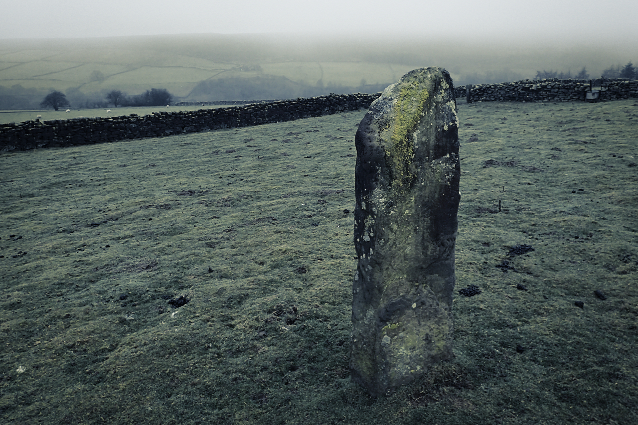
Standing stone in Bransdale
An isolated standing stone in the middle of a small field. Could quite well be the exact centre. Unmarked on the map. I don’t think it’s an old gatepost, quite wide with no holes or ironmongery. So a bit of a mystery. At High Lidmoor in Bransdale. Open Space Web-Map builder Code
-
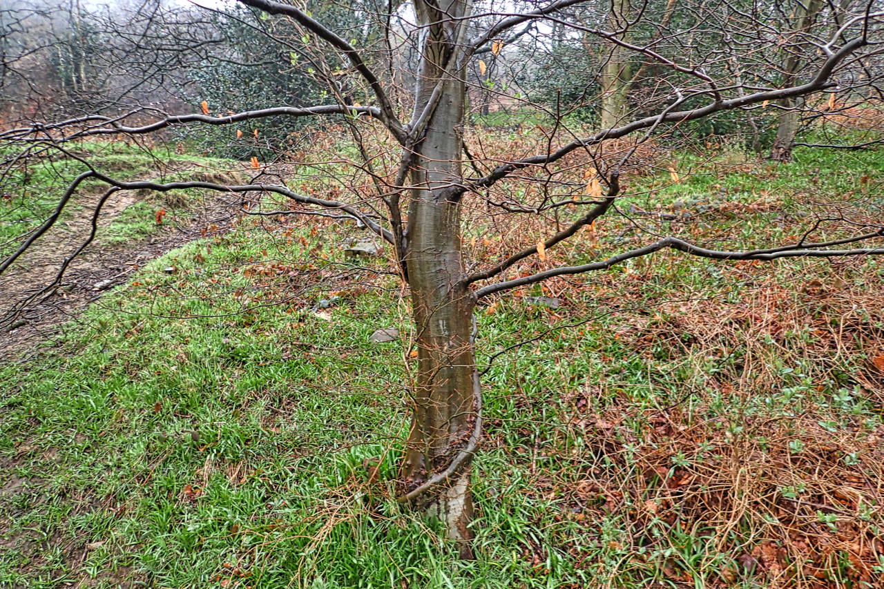
Husband and wife trees
Thirteen years ago in February, we had snow and I was fascinated by a pair of intertwined beech saplings. Over the years one tree has dominated and has perhaps doubled in circumference whereas the subservient tree, if that is the right term, as hardly grown at all. The two trees have grafted together. The layers…
-
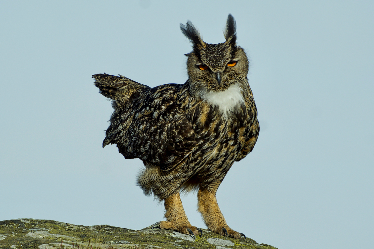
Eagle Owl
This beauty has been around since mid-February and has made one of the region’s major climbing crags its home. It is a Eurasian Eagle Owl and is normally resident in Scandinavia and Southern Europe although it is estimated that between 12 and 40 pairs nest in the UK. It feeds on small mammals and birds…
-
Bransdale
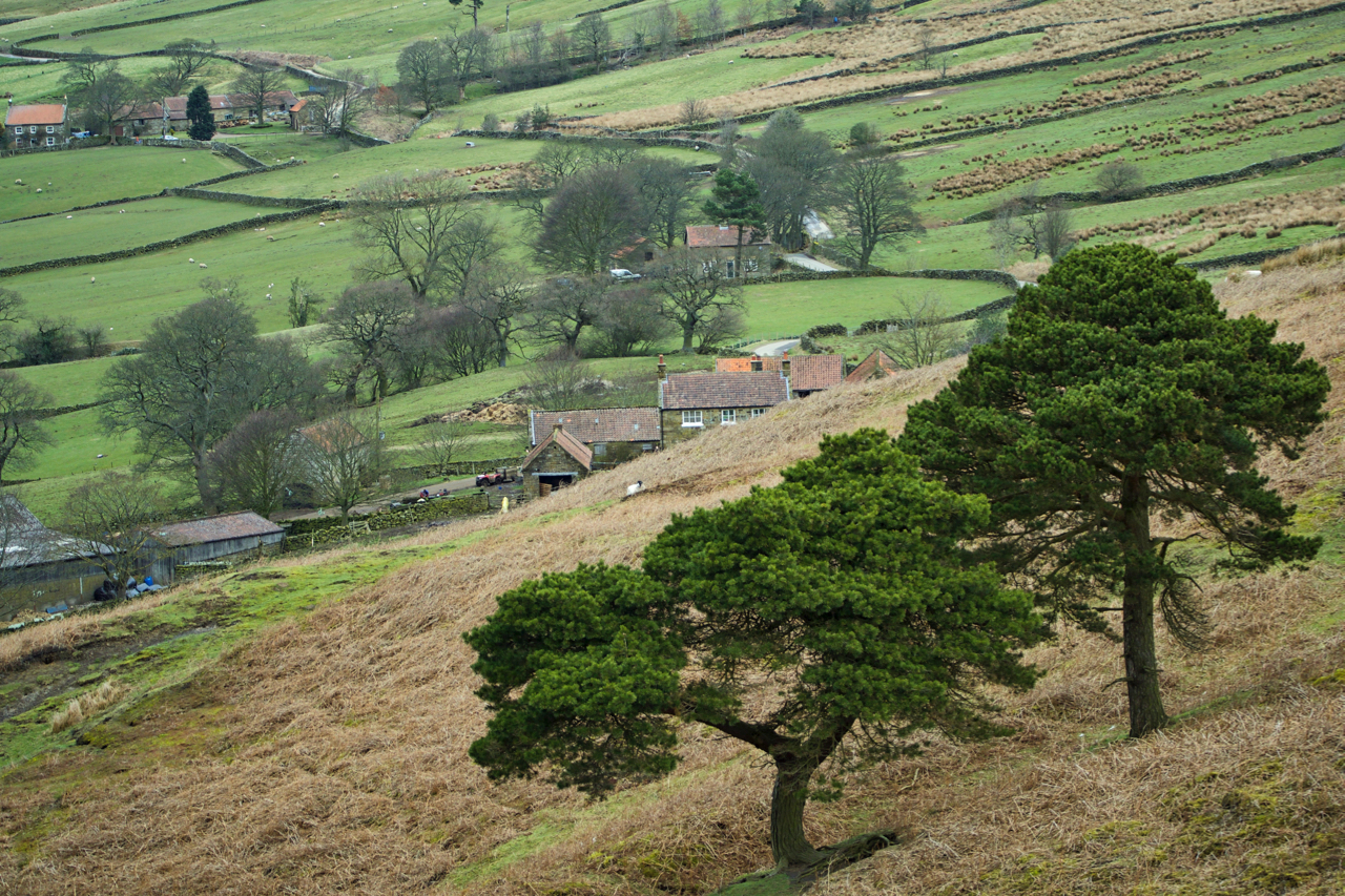
A pair of Scots Pines in Bransdale. Scots pines are the only truly native pines in Britain although the tree was believed to have become extinct in England about 300–400 years ago so these two are the result of re-introductions possibly self-seedlings from the nearby Barker Plantation on Groat Hill. It is only in Scotland,…
-
Nesting time on the moors again
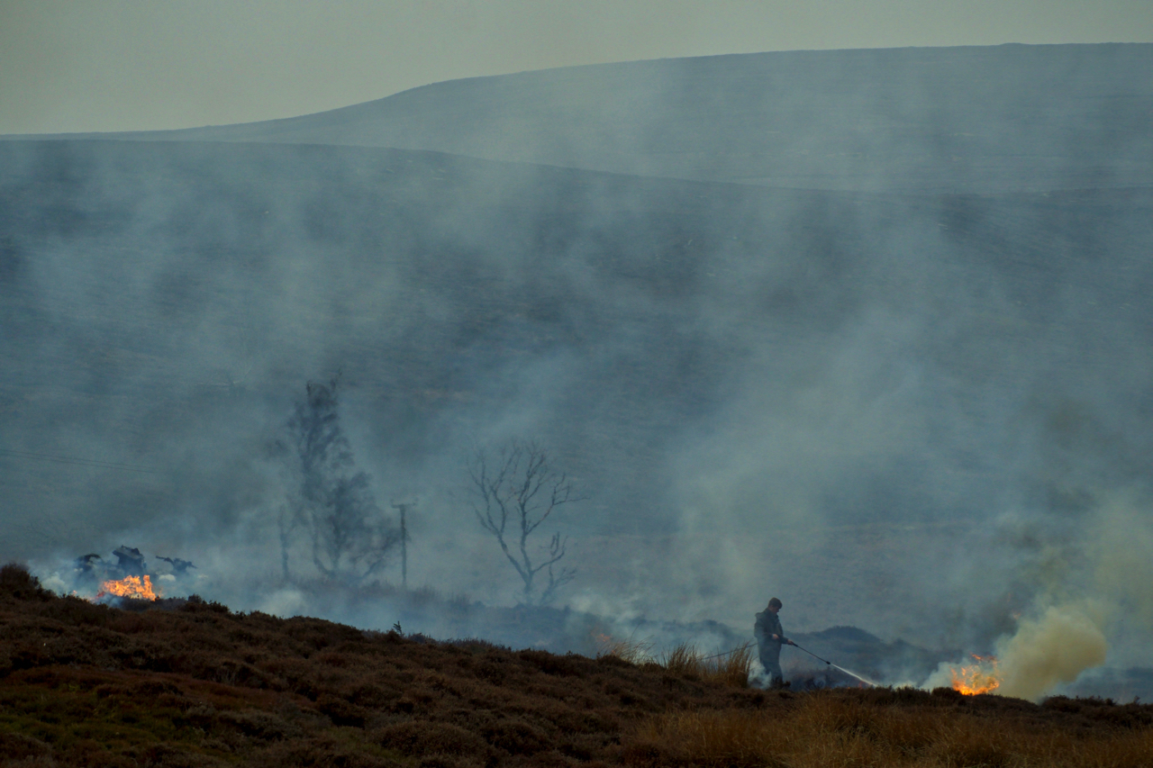
They are still burning on the moors. Several people have commented to me that they did not think burning was allowed at this time of the year. Surely it is nesting time? Well yes, burning can still take place, until the 15th April, and yes, it is nesting time. The normal time that burning in…
-
Turkey Nab
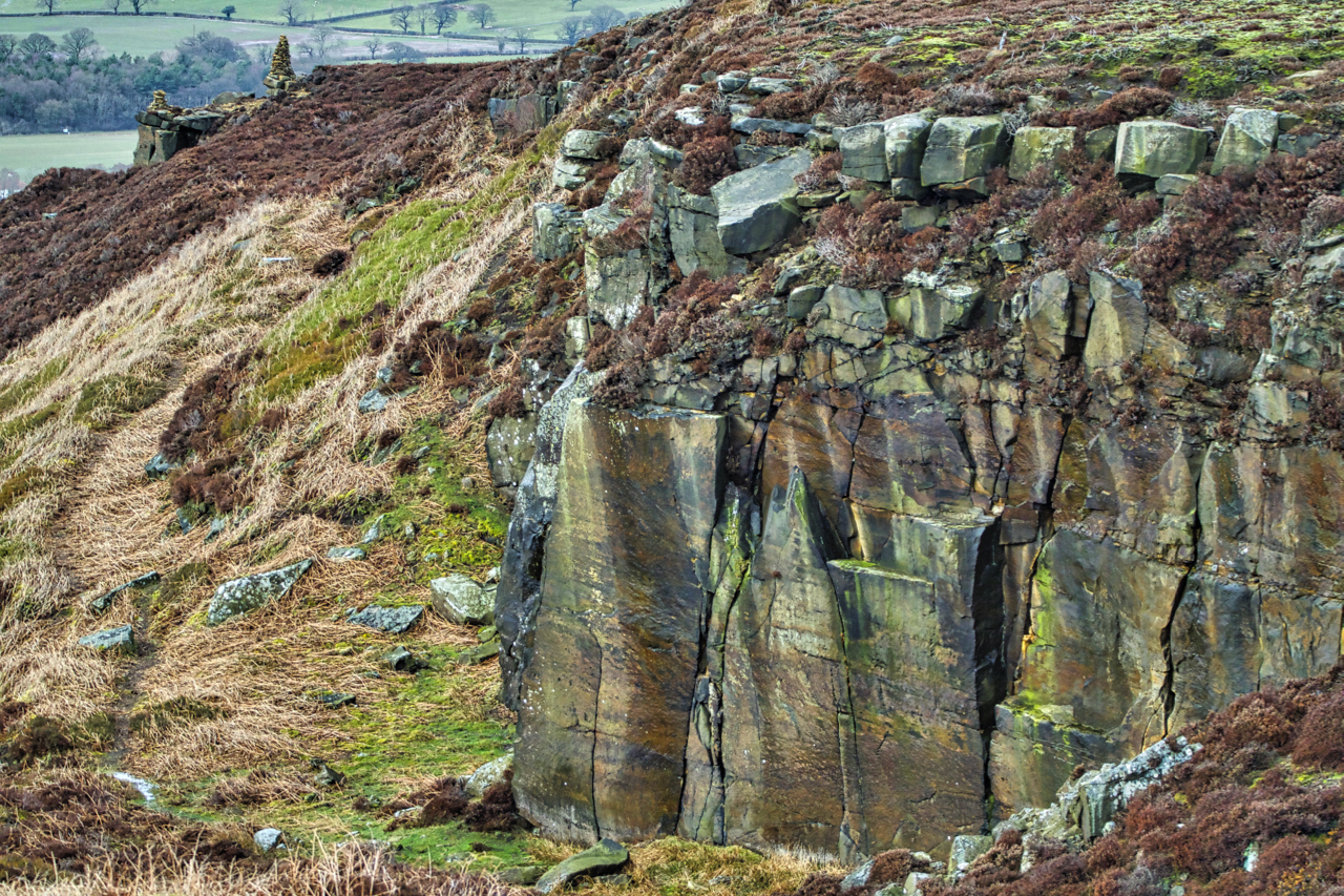
Turkey Nab is actually at the cairn in the top left of the photo. Where Ingleby Bank and Battersby Bank meet. This disused sandstone quarry to the south of the nab is often used as a rock climbing venue. Not over popular it does nevertheless provide some interesting routes. It is said the name, Turkey…
-
Young Ralph Cross
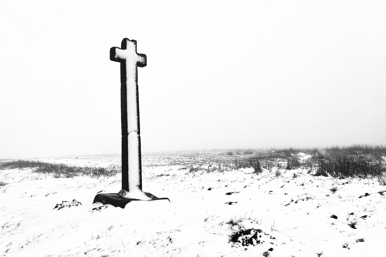
I thought I had seen the last of the snow on the North York Moors. It is, after all, April! The Young Ralph Cross is perhaps the best-known wayside cross in the National Park, it appears on their logo. Supposedly erected by as a guidepost by the nuns of Rosedale Priory in the 13th-century after…
-
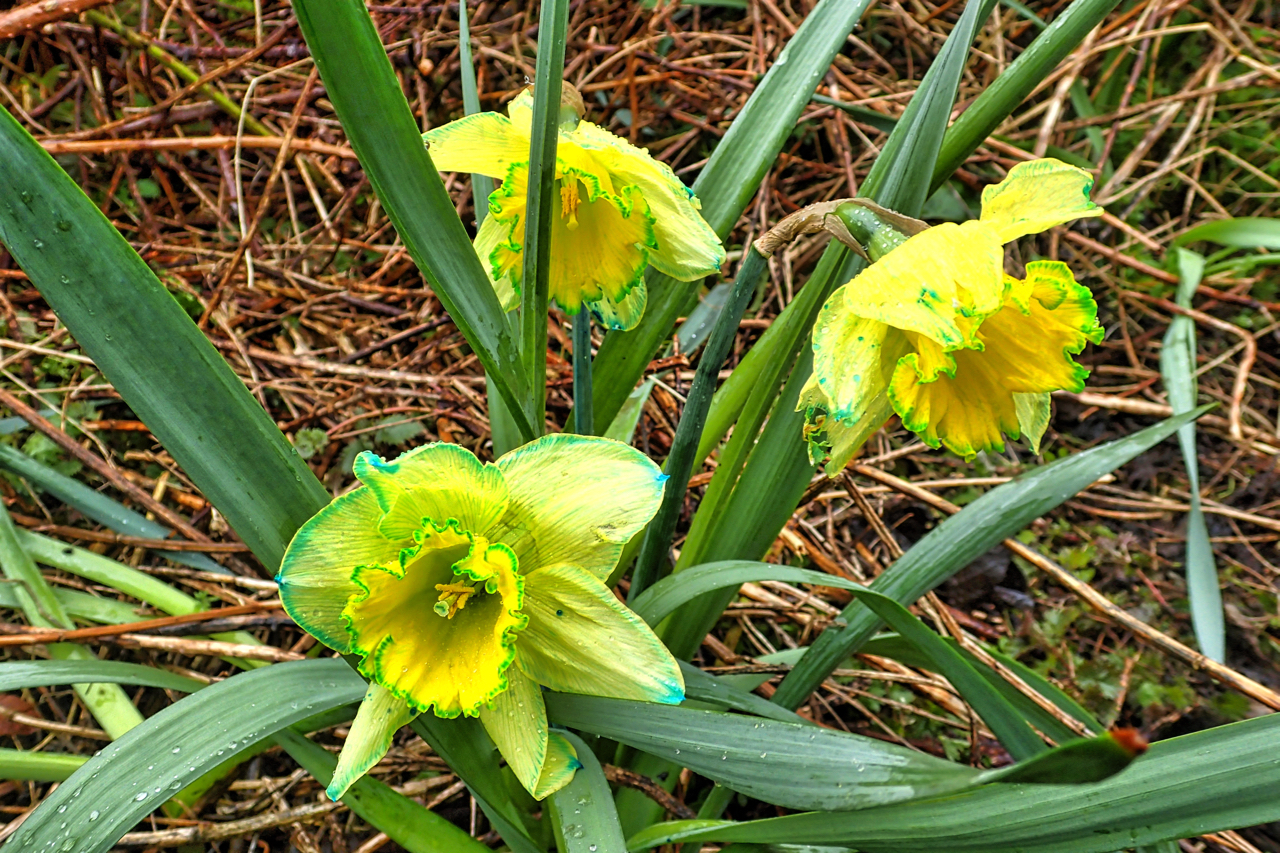
Narcissus fluorescein
I came across this patch of daffodils on an evening walk with the dog. In the dying light, the flowers seemed magically bright. Positively glowing. On closer inspection, the petals and the corona were edged with blue. Even the capillaries in the petals had a blue tinge. Good old Google solved the mystery. Narcissus fluorescein,…
-
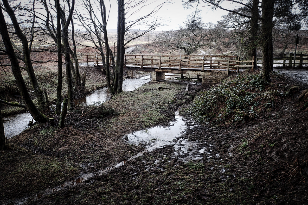
New bridge over Cod Beck
It was supposed to be ready for the October half term, last year. But, better late than never, I was pleased to see the bridge in use. I understood the idea was to produce a wheelchair accessible route around Cod Beck Reservoir but the installed kissing gate looks to me to be too narrow. Maybe…