Category: North York Moors
-
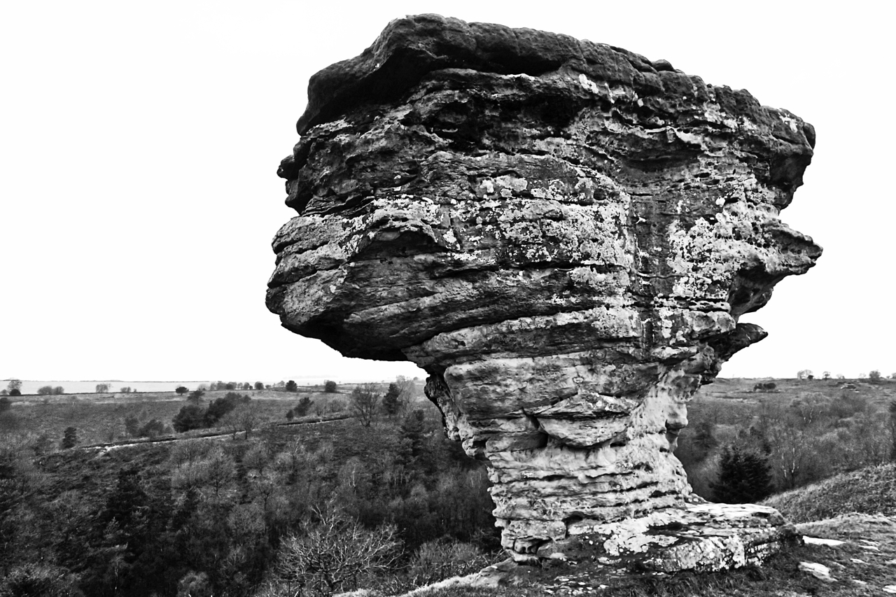
The Pepperpot, Bridestones
Of the fascinating sandstone columns and rock outcrops that are known as the Bridestones, the Pepperpot is perhaps the most photographed. The Bridestones are the last remnants of a Jurassic sedimentary rock layer deposited some 150 million years ago that have been eroded over the millennia by wind, frost and rain. The name is not…
-
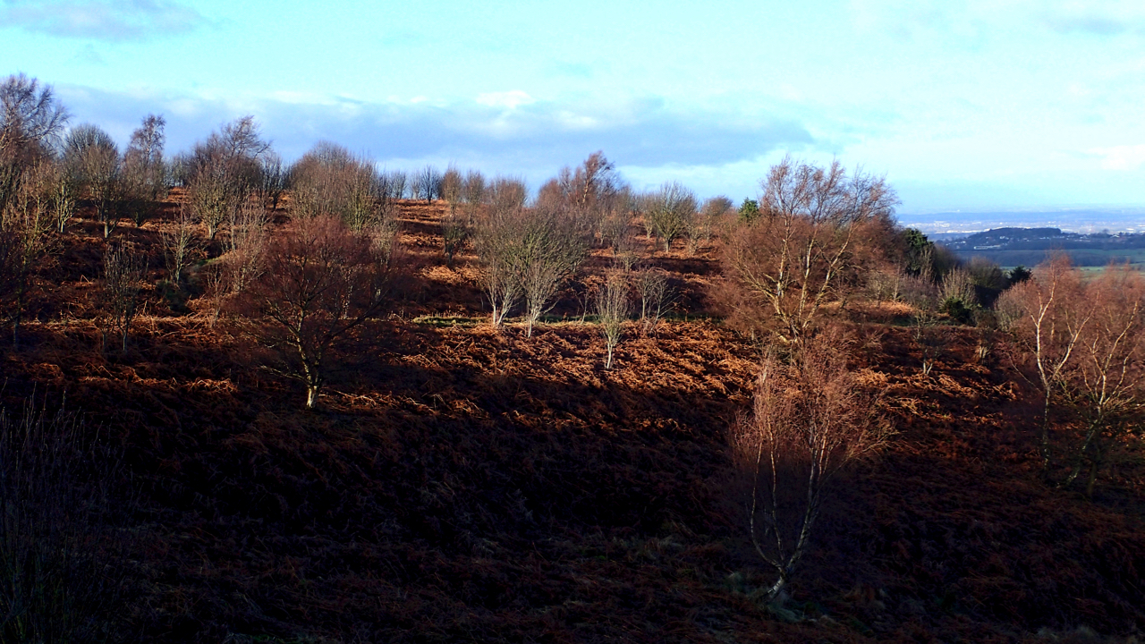
Winter sun on Roseberry Common
The middle slopes of Roseberry Topping might appear natural but it is sensitively managed. if left to nature’s own devices succession would occur leading to an expansion of the mature acidic oaks of Newton Wood. A semi-open woodland is an essential habitat for several species of birds, whinchat and tree pipits, ring ouzels have been…
-
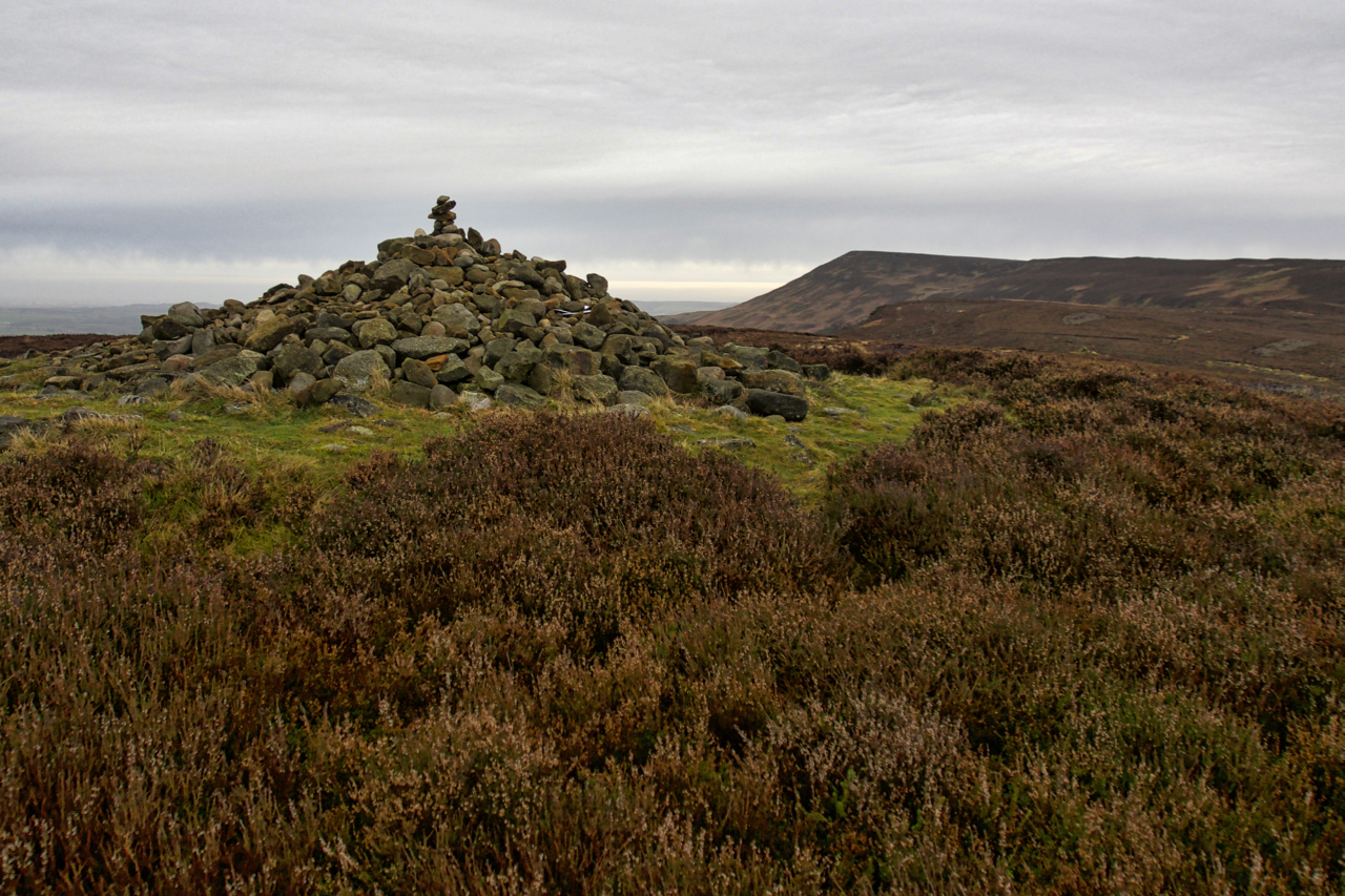
Round Barrow, Live Moor
A new plaque has been fixed to a stone by the National Park asking visitors not to disturb the Bronze Age burial mound on Live Moor near Whorlton. Not to remove or add stones to the cairn. The custom has developed amongst walkers and ramblers to add a stone or two to piles of stones…
-
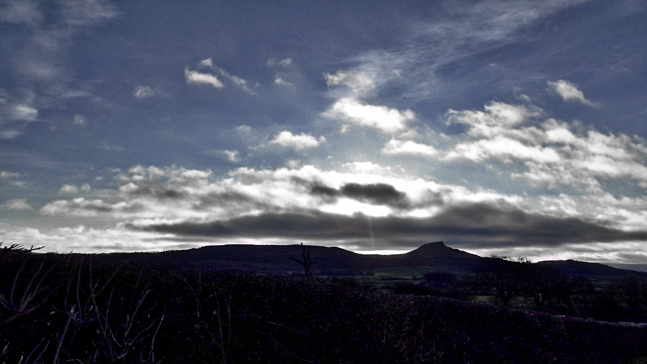
First Footing
New Year’s Day and back home in the Cleveland Hills after a pre-dawn dash from the Lakes. This from Cockshaw hill above Gribdale Terrace and Howl Road. Roseberry in the distance. A reasonable morning. Cloudy but dry. An old Yorkshire saying is that the weather until March is governed by that on the first three…
-
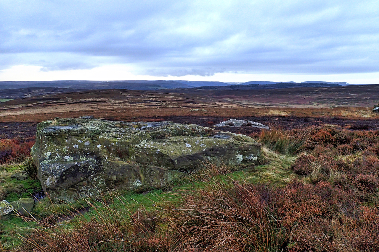
Boulder, Potters Ridge
It always surprises me that this large flat boulder, on Potters Ridge around the back of Highcliff Nab is not named on any map. It is certainly significant and its location on a high point on the North York Moors escarpment only slightly lower than surrounding tops would have been a natural draw for prehistoric…
-
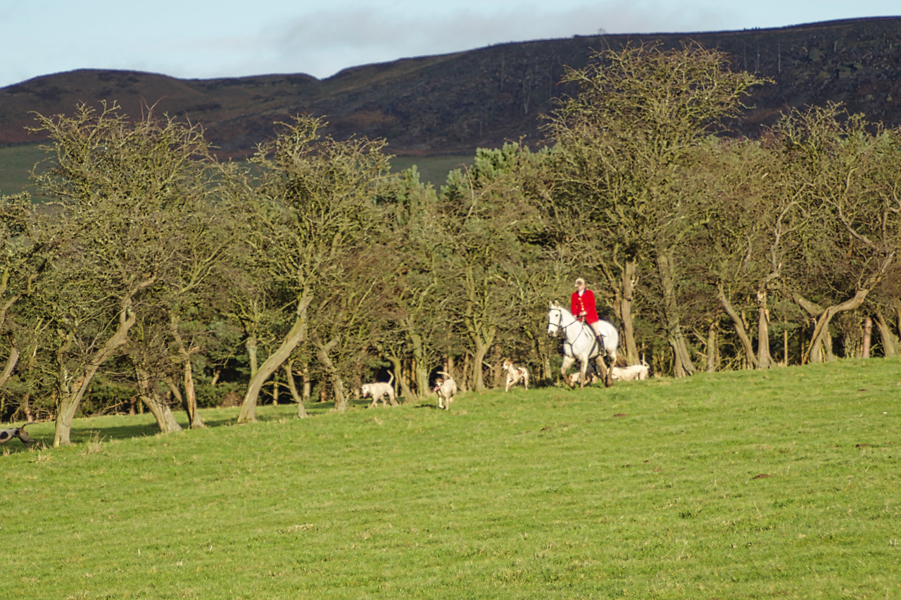
Boxing Day Hunt
The Cleveland Hunt traditionally starts from Great Ayton High Green on Boxing Day. Now I have two issues with fox hunting. Firstly there is much evidence that, in spite of the hunting of animals with dogs having been illegal since 2004, the law is being circumvented by the pretence that hunts are conducted under the…
-
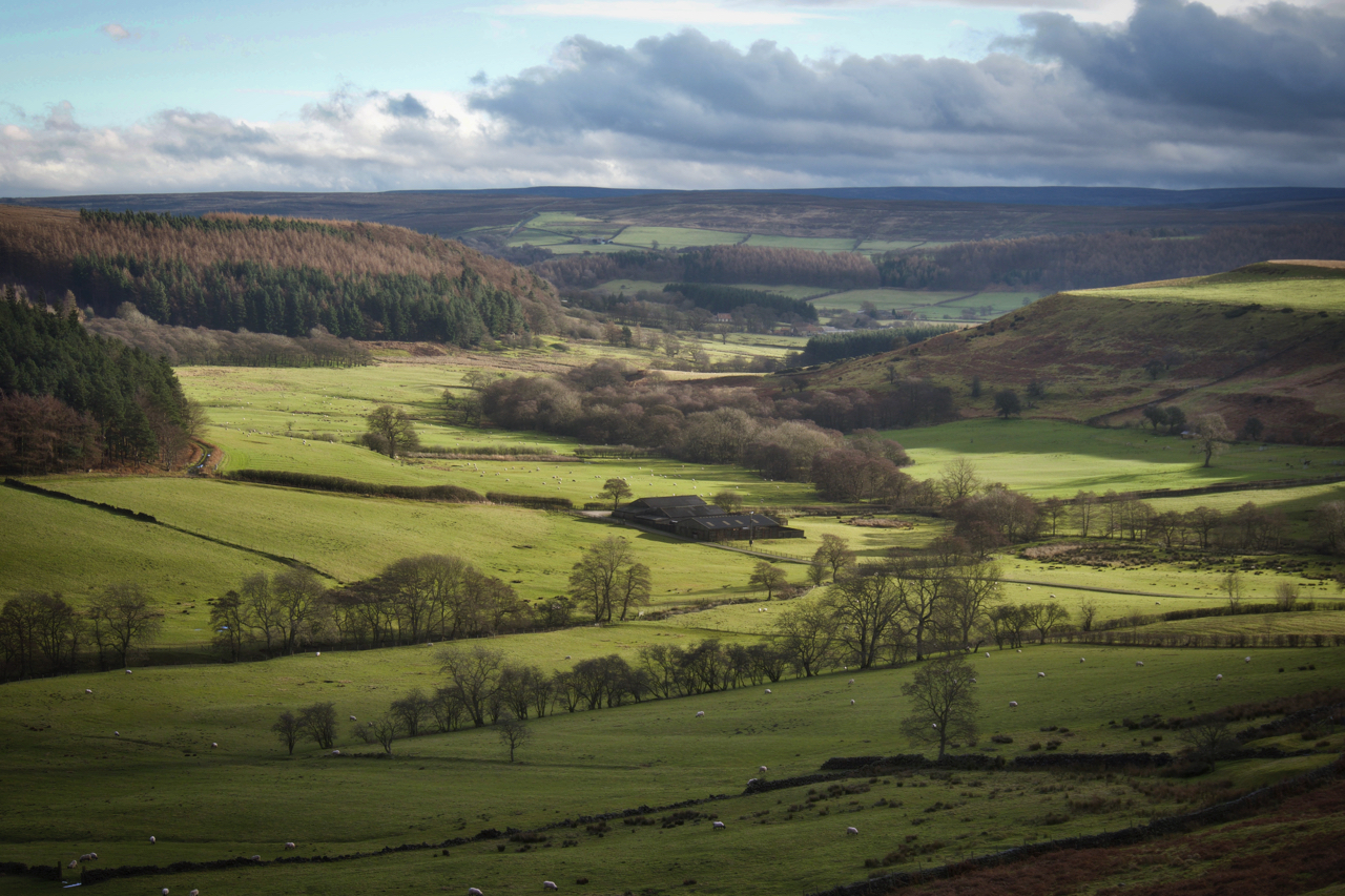
Lonsdale
A side valley of Kildale on a sunny Christmas Day. The farm in the centre we still know as Smelly Farm. Well, that was twenty years ago, it has been tidied up since and no longer exudes the particular miasmas. And of course, it was never a farm as such just a range of barns.…
-
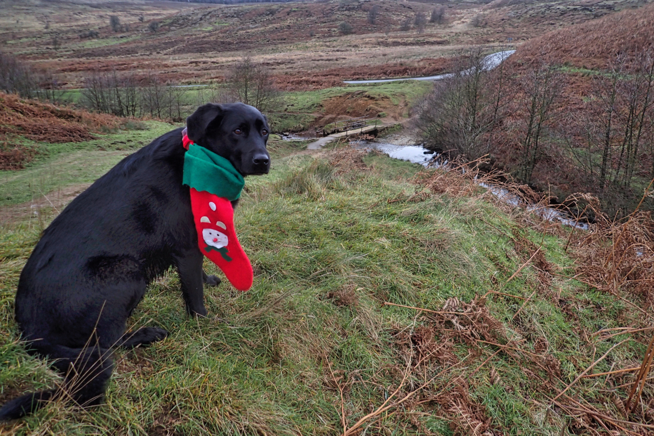
It’s a dog’s life
The ignominy of it. All year I’ve been made to climb the steepest hills, swim the deepest bogs, paddle through farmyard gloop, clamber over tallest stiles and now I’m made to pose here with this piece of Christmas tat. Wishing everyone a very merry Christmas. Open Space Web-Map builder Code
-
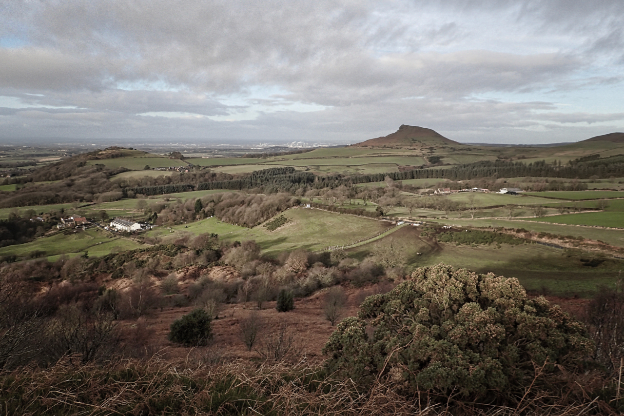
Roseberry skyline
The farmland between the Eston Hills and Roseberry Topping is known as The Carrs, a name which has roots in the Scandinavian kjall meaning a water meadow with scattered trees of alder or willow. The modern Ordnance Survey map names it merely as The Flats, and it is indeed flat. But it made a change,…
-
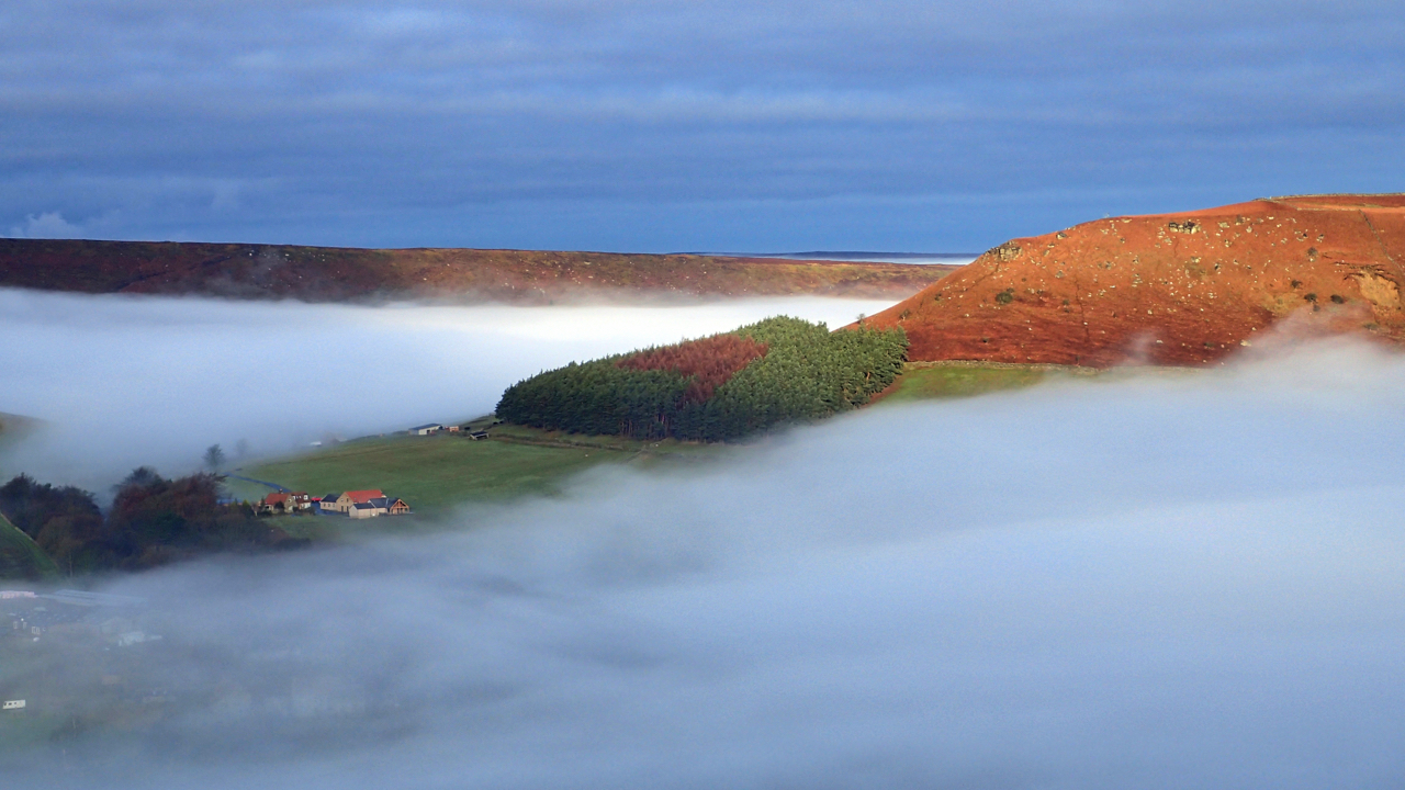
South End, Great Fryup Dale
On Glaisdale Rigg looking across a sea of cloud to the whaleback hill known as Heads which separates the two Fryup Dales, Great and Little. The sun is shining on the South End of Heads. Temperature or cloud inversions offer the most spectacular atmospheric conditions. The dense cold air of the valley is capped by…