Category: North York Moors
-
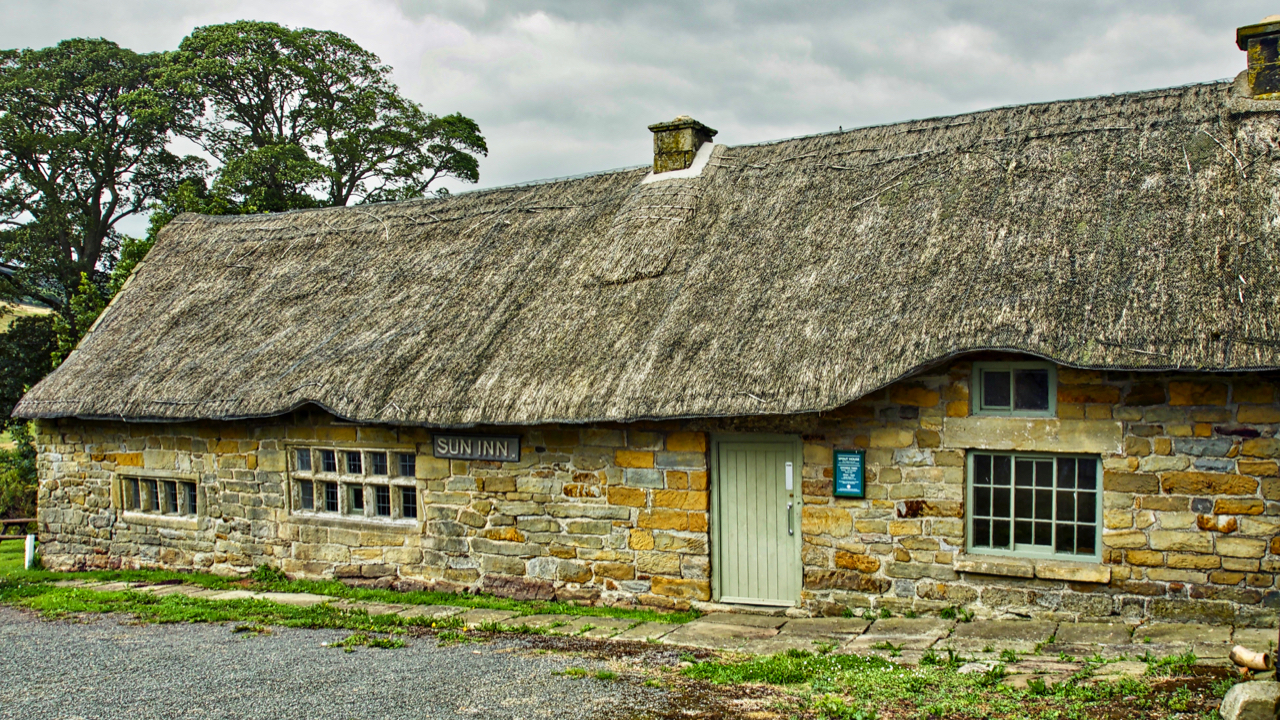
Spout House
On this day in 1914, Austria-Hungary declared war on Serbia, exactly one month after Archduke Franz Ferdinand of Austria had been assassinated by a Bosnian Serb nationalist. It was the start of a world war that would cost millions of lives. Also in that same year, ale was last served in the Sun Inn, just…
-
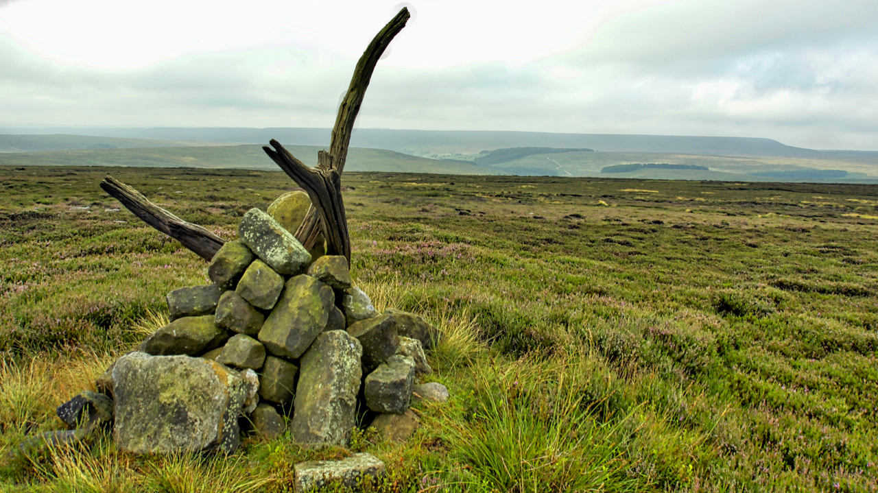
Prod Howe
An 18th-century boundary stone sited just above the 380m contour on Snilesworth Moor. A dull overcast morning marred by a confrontation with an irate gamekeeper. Soon after I had parked at Scugdale he drove up holding a dead pheasant accusing me of hitting it on the drive up the valley. Now I recall hearing no…
-
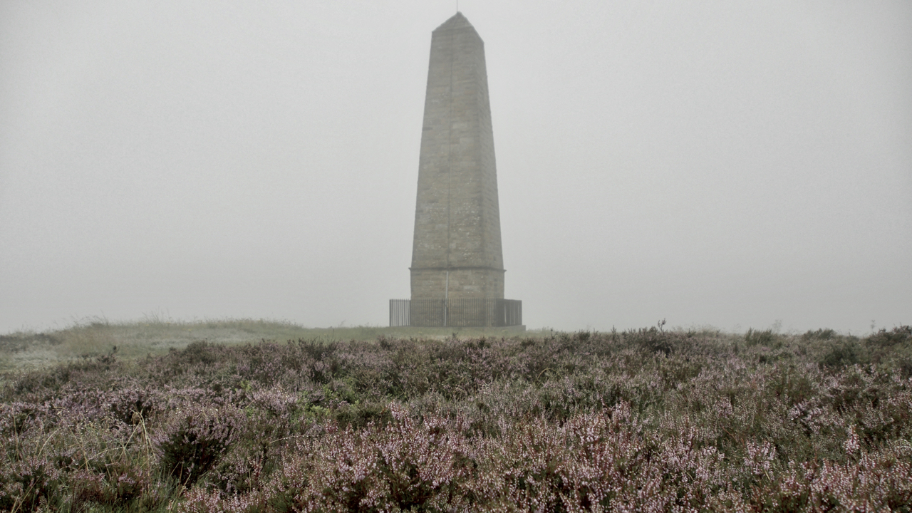
Capt. Cook’s Monument
A quick amble up to Capt. Cook’s Monument at the end of a very wet day. No chance of a sunset, still drizzling and cloud. But the ling’s looking good. Open Space Web-Map builder Code
-
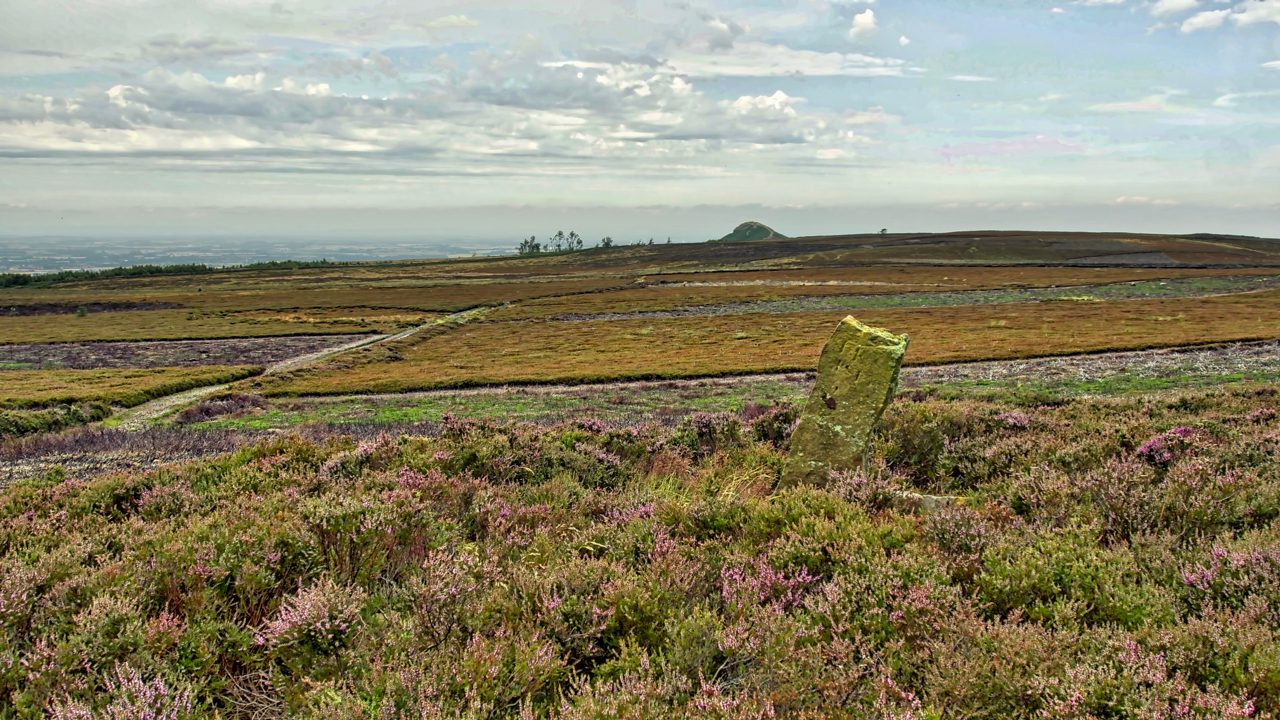
Newton Moor
The mosaic of a managed heather moor, managed to maximise the number of grouse. Heather is burnt to encourage young growth which the grouse feed on. Patches of tall old heather are left for nesting. Yet every square inch of land in the photo (beyond the boundary stone) is National Trust property. The heather was…
-
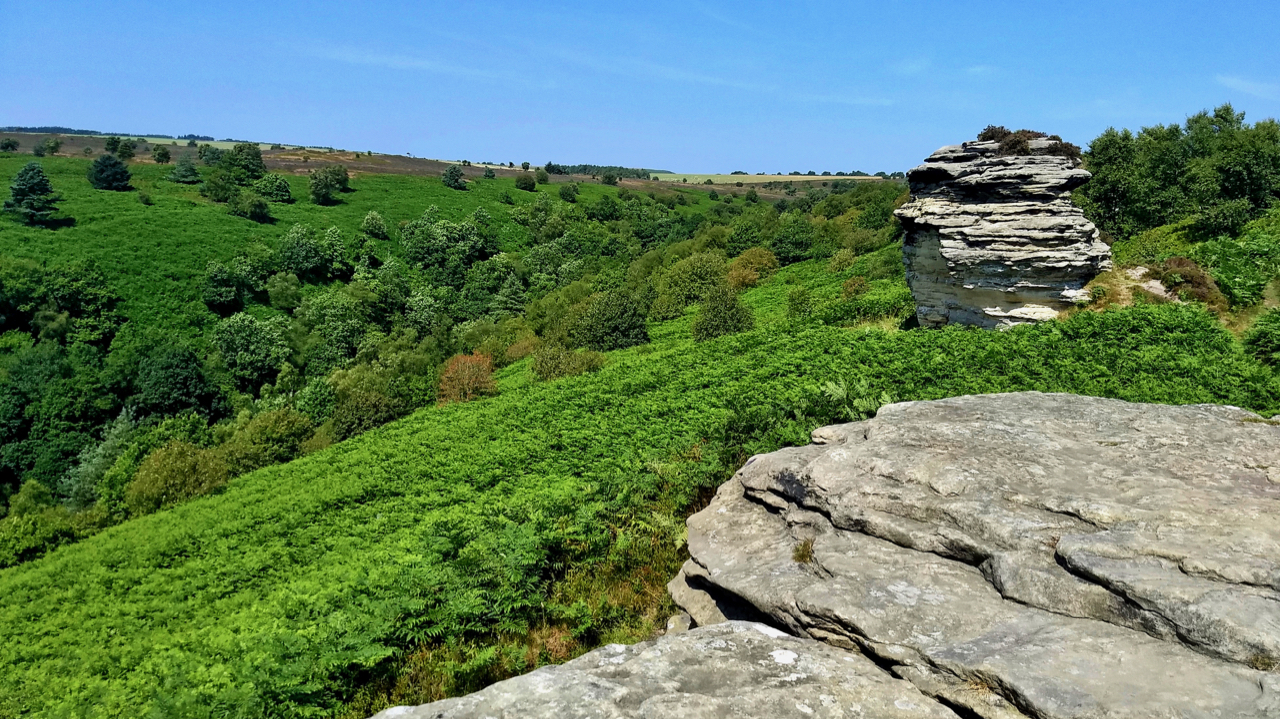
High Bride Stones
Out and about in the sun all-day catching butterflies and moths for a survey at the National Trust’s Dovedale and Bridestones property. Finds of the day were a Marbled White and a Dark green fritillary but both were not very co-operative for photography. This is the first time both species have been recorded on this…
-
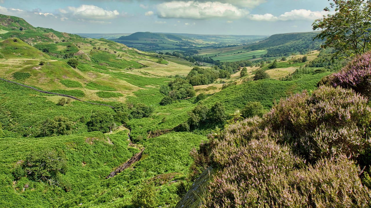
Great Fryup Dale
A hot and humid day. Felt stifling on the descent into the bracken infested Wood Head, the top of Great Fryup Dale. The ling is just beginning to come into bloom. Open Space Web-Map builder Code
-
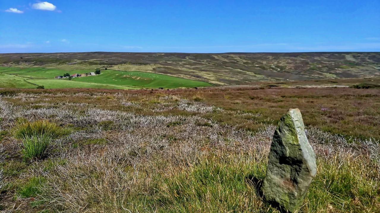
19th Century guide post
The old Ordnance Survey map shows a footpath linking the farms of Wood End in Kildale and Sleddale. The footpath has long since disappeared but is evidenced by this waymarker across Kildale Moor. It is believed to be 19th-century.
-
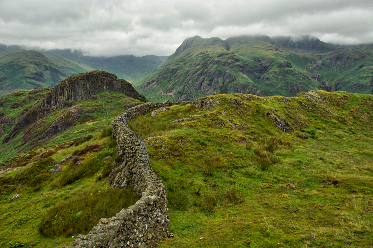
Side Pike
A small knoll at the western end of Lingmoor Fell. Across Great Langdale, the Langdale Pikes flirt with the cloud base. Open Space Web-Map builder Code
-
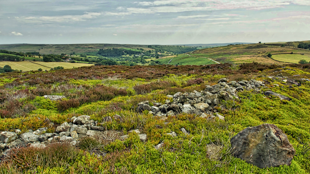
Crown End
A run from Kildale to Castleton. Took a slight detour to look at the ancient bronze age settlement remains on Crown End of Westerdale Moor. The end is a spur, due north of the village of Westerdale at a height of 236 metres. Plenty of humps and bumps and a bits of rocks but not…
-
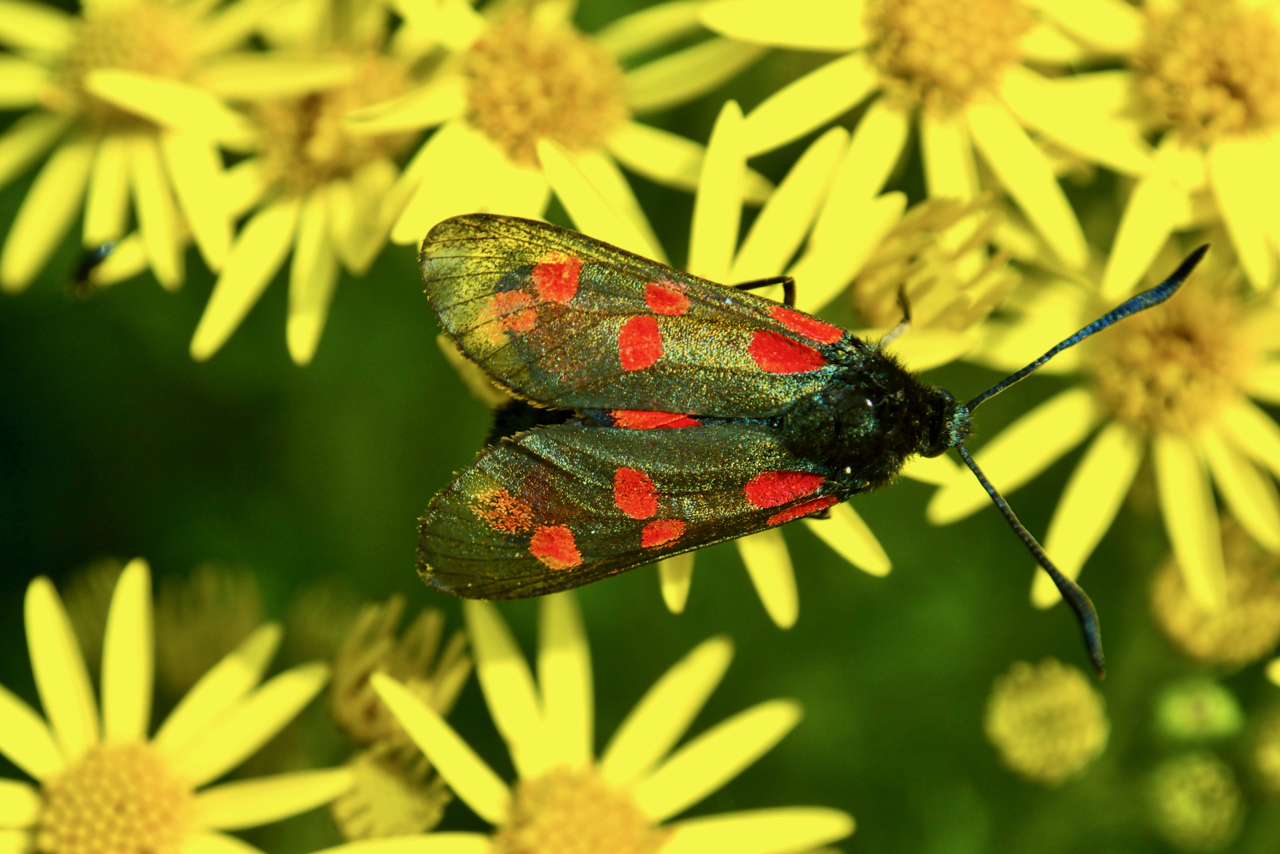
Five-spot Burnet moth
A fairly common but striking moth, photographed here on Stinking Willie or the Common Ragwort. Common Ragwort is one of Britain’s much-maligned wildflowers. Supposedly toxic to horses and cattle but the plant is generally ignored by grazing animals. The problem occurs when ragwort gets mixed in hay for winter feeding. On the other hand, ragwort…