Category: North York Moors
-
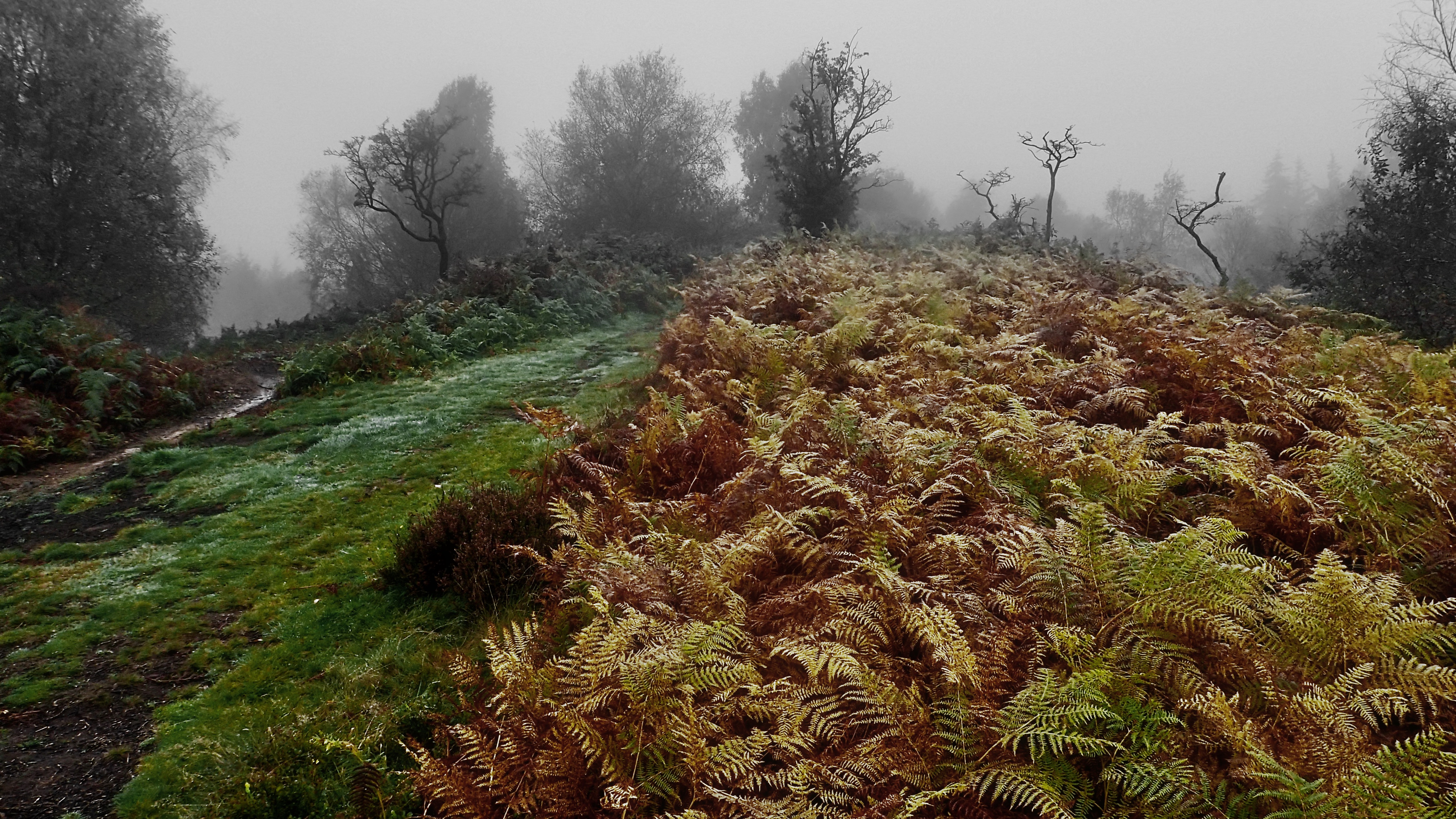
On Hood Hill
Rain before seven, Lift before eleven. So the old saying goes, but, ok the rain had stopped but the cloud still blanketted the 250m glacial outlier of Hood Hill. We climbed the hill to explore the earthworks of a medieval fortification, a motte and bailey castle. And to talk of the legends of witches…
-
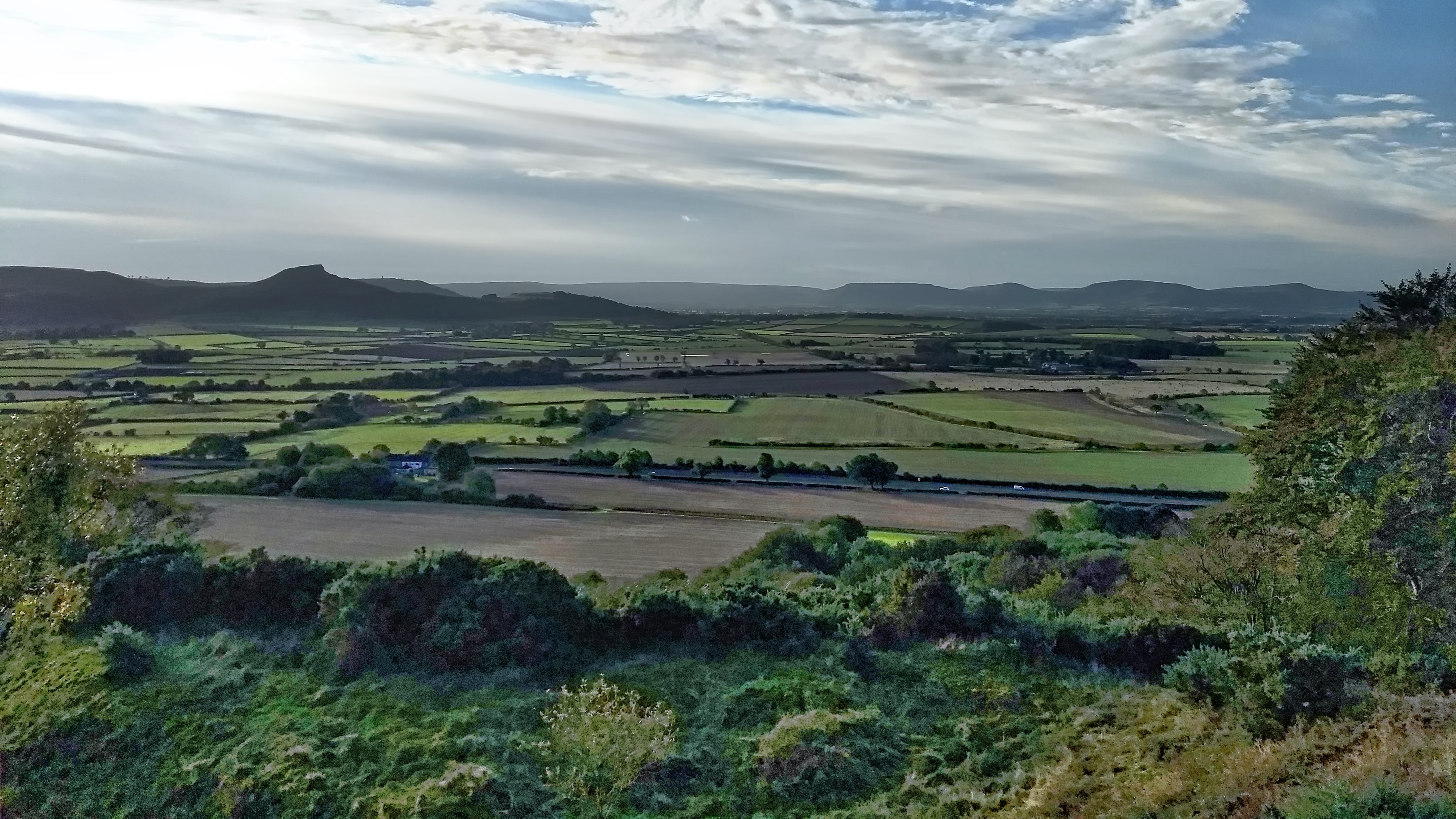
The Carrs
An uncommon view of Roseberry across the flatlands of Moreton Carr and Upsall Carr but one that would be easily recognised by commuters on the A171 Guisborough By-Pass. The ‘Carr’ element of these names comes from the Old Scandanavian word kjarr meaning a marshy area, giving an insight into the terrain in medieval Cleveland. Open…
-
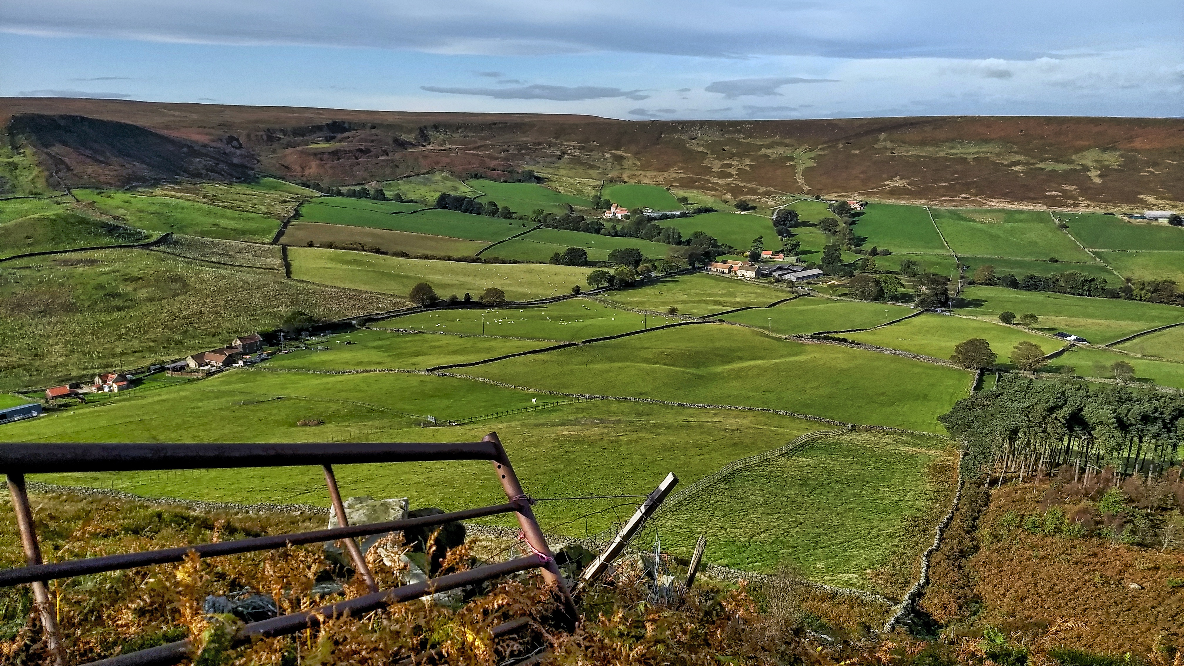
Little Fryup Dale
It’s been a few months since I’ve been up on the Heads, that elongated hill separating the two Fryup Dales. This is the head of the smaller dale. The buildings on the far left are named on the map as Fairy Cross Plain. There are two cottages, one is relatively modern but the other has…
-
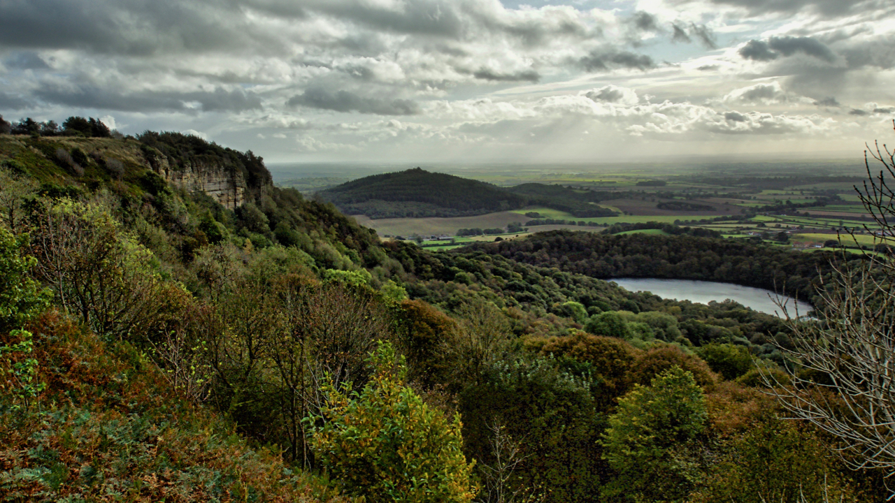
Whitestone Cliff and Gormire Lake
Looking down onto Lake Gormire near Sutton Bank. A place of myth and legend. In the distance is the elongated Jurassic outlier, Hood Hill with where Druids were said to have made sacrifices. Some say Lake Gormire was made when an earthquake swallowed up a whole town. The roofs of the houses and chimneys can…
-
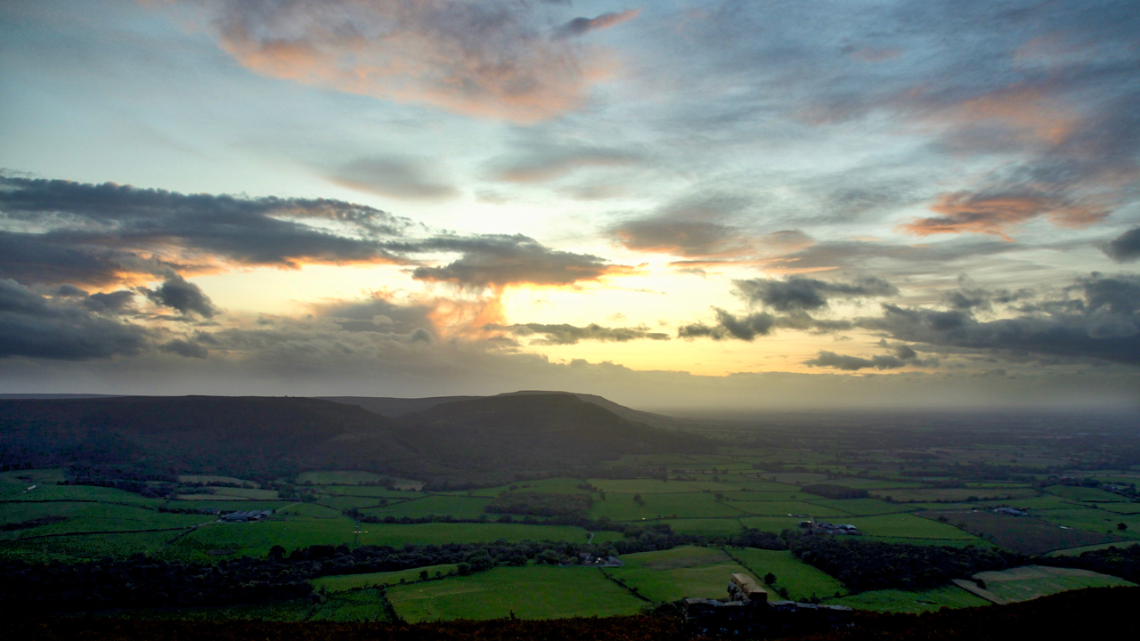
The Cleveland Hills
Up onto Greenhow Bank to catch the sunset only to find it fizzled out when the sun dropped behind a low bank of cloud. But still enough light reflecting off higher-level clouds. A view to the Cleveland Hills across the fields of Greenhow Botton. Open Space Web-Map builder Code
-
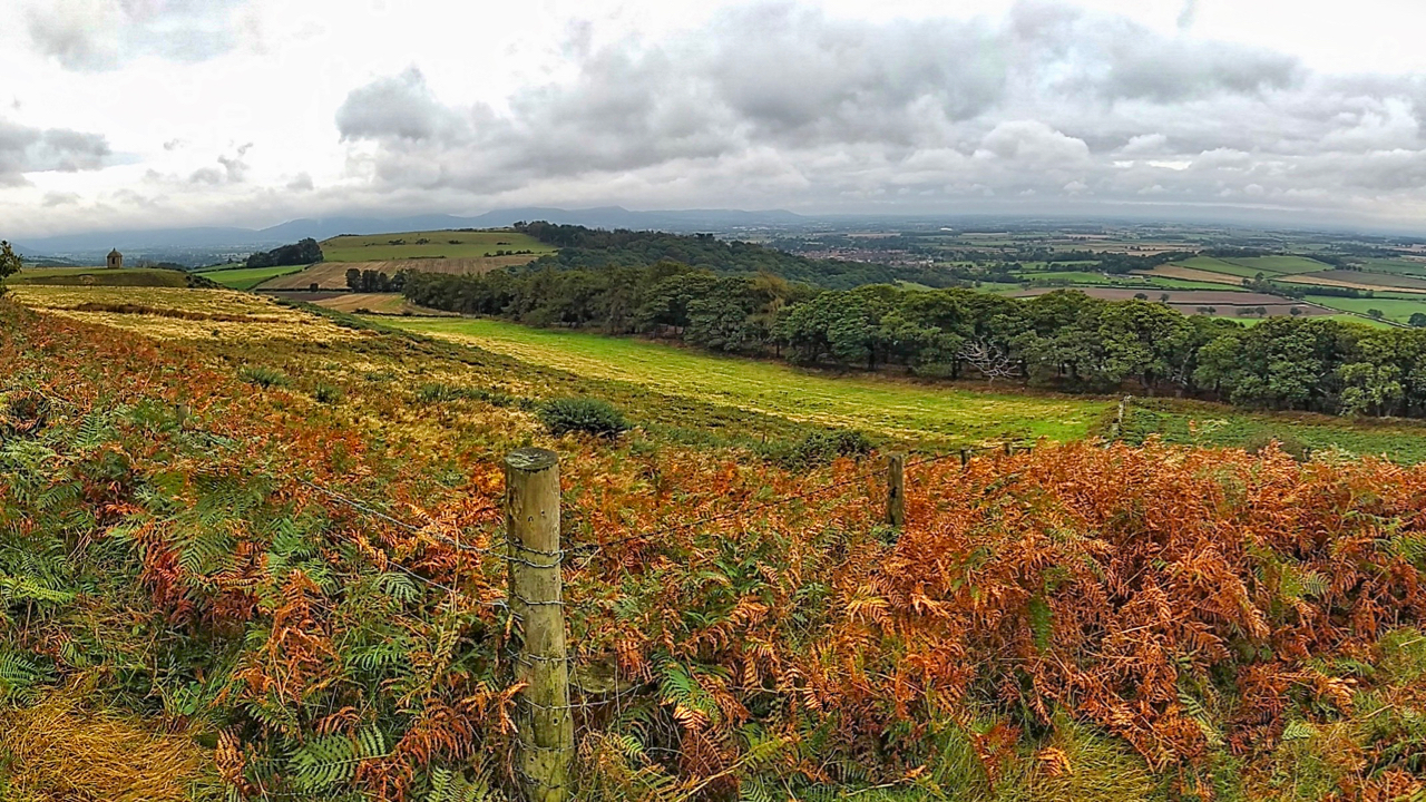
Cliff Rigg and Newton Wood
Explored a long-forgotten section of a Public Bridleway up Roseberry Topping that has recently been cleared of bracken. It’s just a wild guess but to me, the route points to an early tourist route up to the summit. I’ve posted about this before. It starts in Newton and goes up Roseberry Lane (or Wood Land…
-
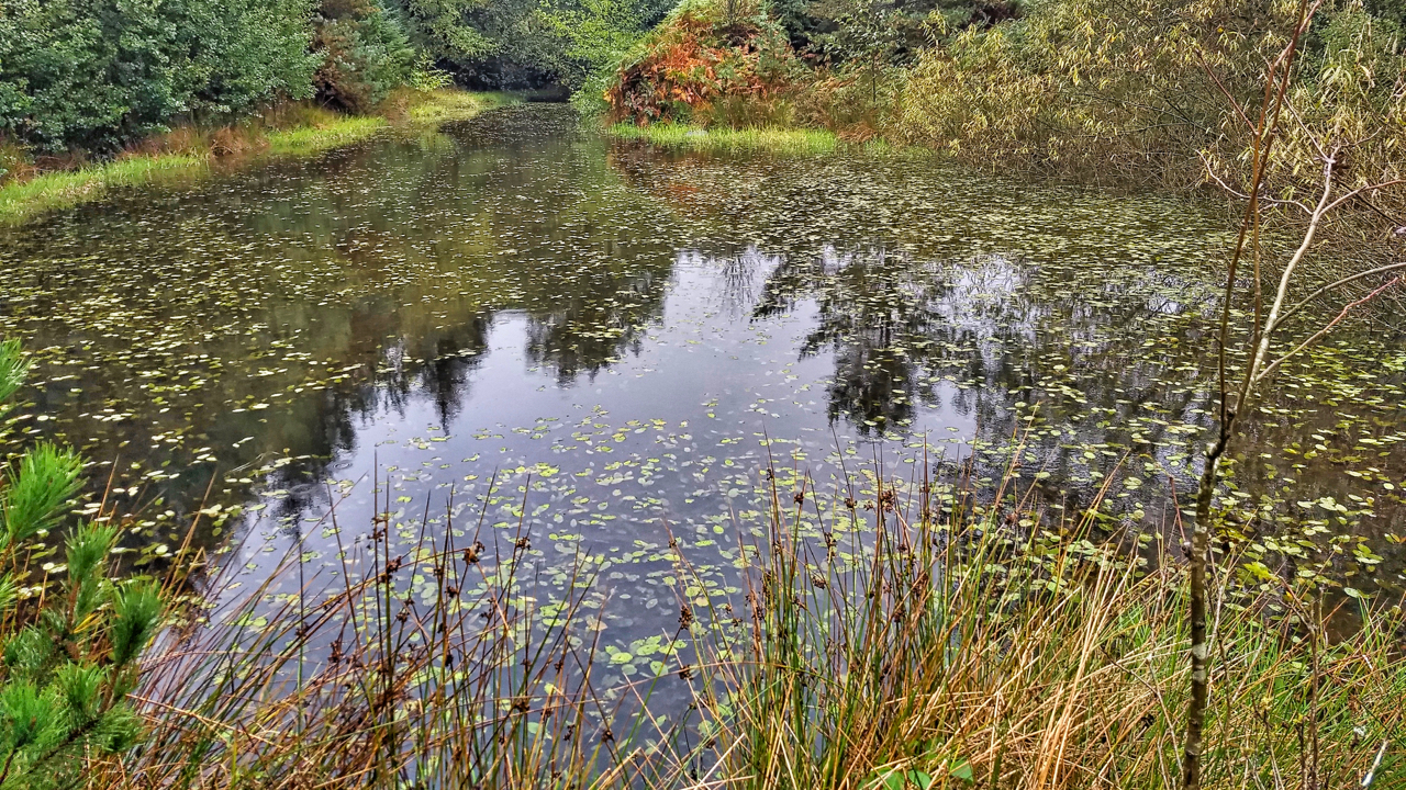
Pond, Sneaton Forest
The first time I orienteered in Sneaton the map was called Maybeck, the spruce trees were impenetrable and any excursion was a hands and knees job along one of the many ditches. Planted in the 1960s the forest is a commercial forest typical of the North York Moors. Today, 40 years later, the trees have…
-
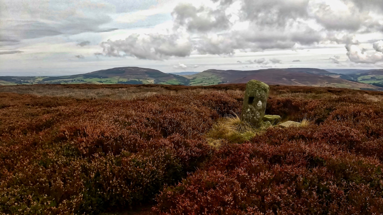
Green Howe
Go to almost anywhere on the North York Moors and somewhere on the skyline there will be at least one round barrow. More likely you will be able to spot a dozen or so. The archaeologists tell us 541 of them have been recorded. Marked in Gothic script on Ordnance Survey maps as ‘tumulus’ or…
-
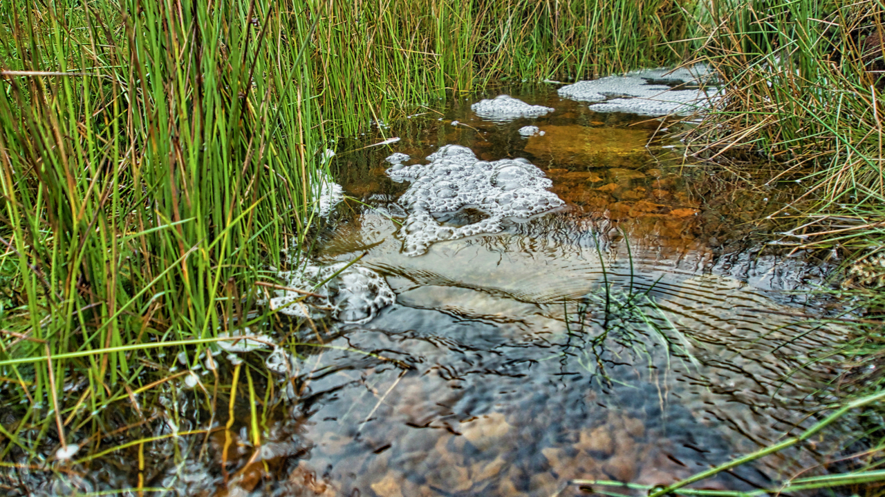
Howden Gill
Another blashy morning with low cloud so no panoramic views today. Plenty of water around though. This is Howden Gill which drains Great Ayton Moor. The foam is caused by natural surfactants released from decaying organic matter in the stream lowering the surface tension and allowing the water and air to mix more easily creating…
-
Word of the day: tropism
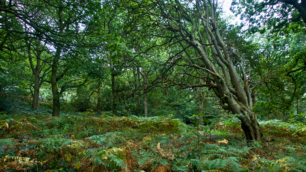
From the Greek tropos meaning “a turning”, a tropism is the response in a plant’s growth due to an external environmental stimulus. There are many types, such as: Hydrotropism, growth in response to water for example when the roots grow towards areas of higher moisture Phototropism, in response to light Thermotropism, in response to temperature…