Category: North York Moors
-

Roseberry in the Golden Hour
That last hour before period sunset, when the sun is low on the horizon and its rays pass through the atmosphere for a greater distance, becoming weaker, more diffracted, and appearing redder. The spoil heap is from the transhipment yard where the iron ore from the Roseberry Mine was transferred from the narrow-gauge railway onto…
-
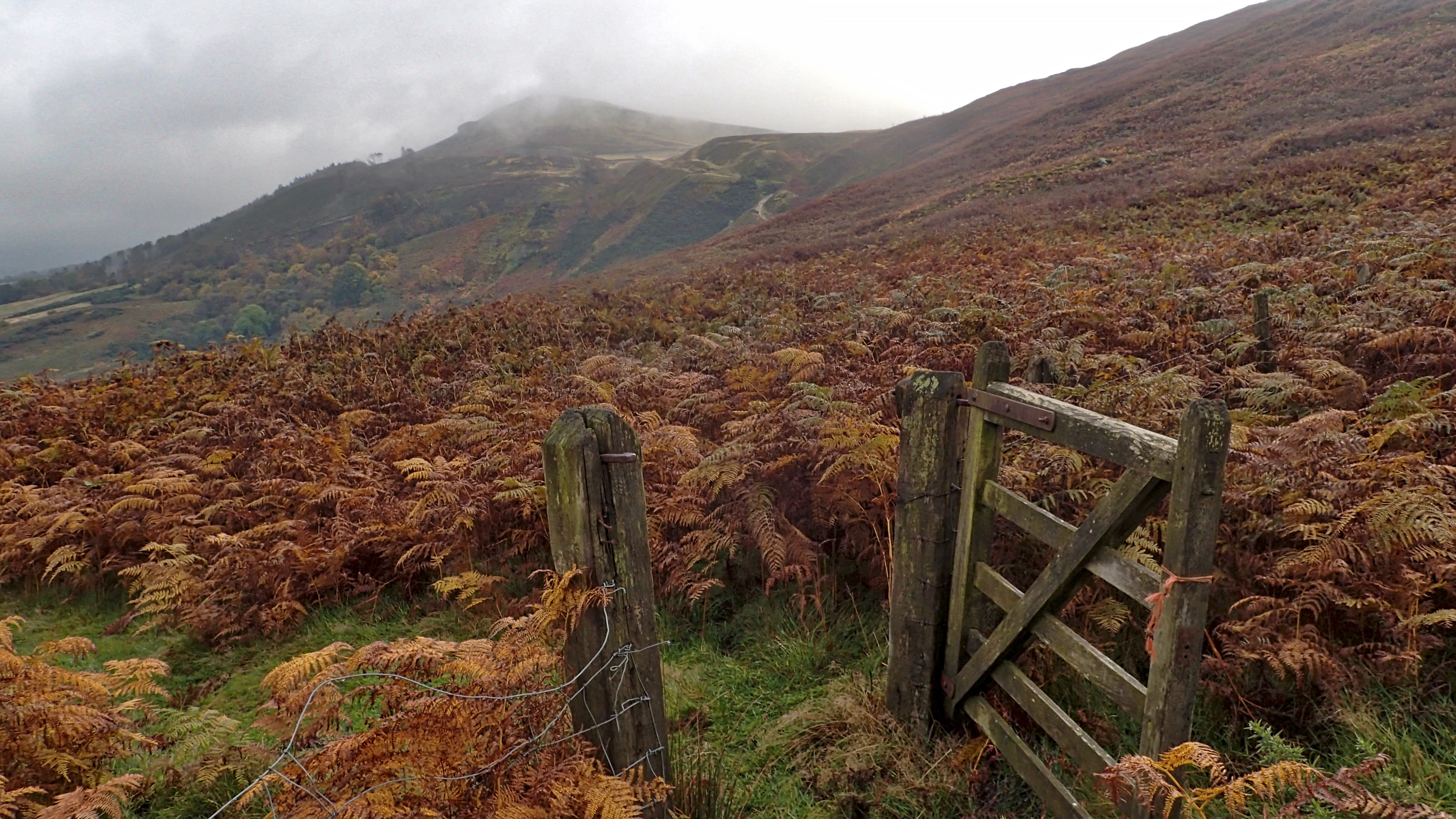
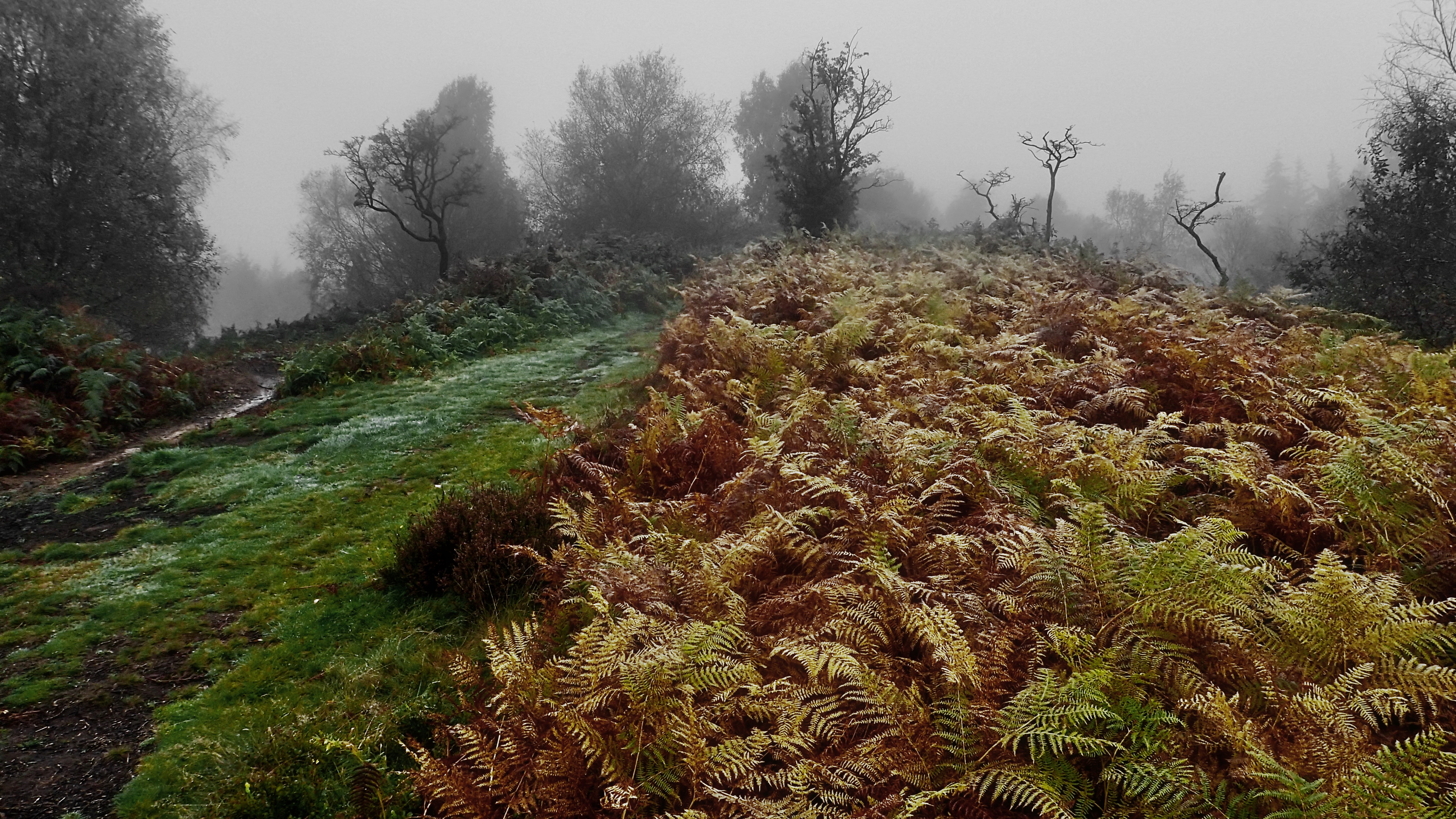
Kirby Bank
Crossing Emerson’s fence on the climb up Kirby Bank from the Scout camp. I have already posted about the history of this fence before. A posting which although only from May this year, I had completely forgotten about. The fenceline was created as the result of a legal dispute in 1854 over potential ironstone mining…
-
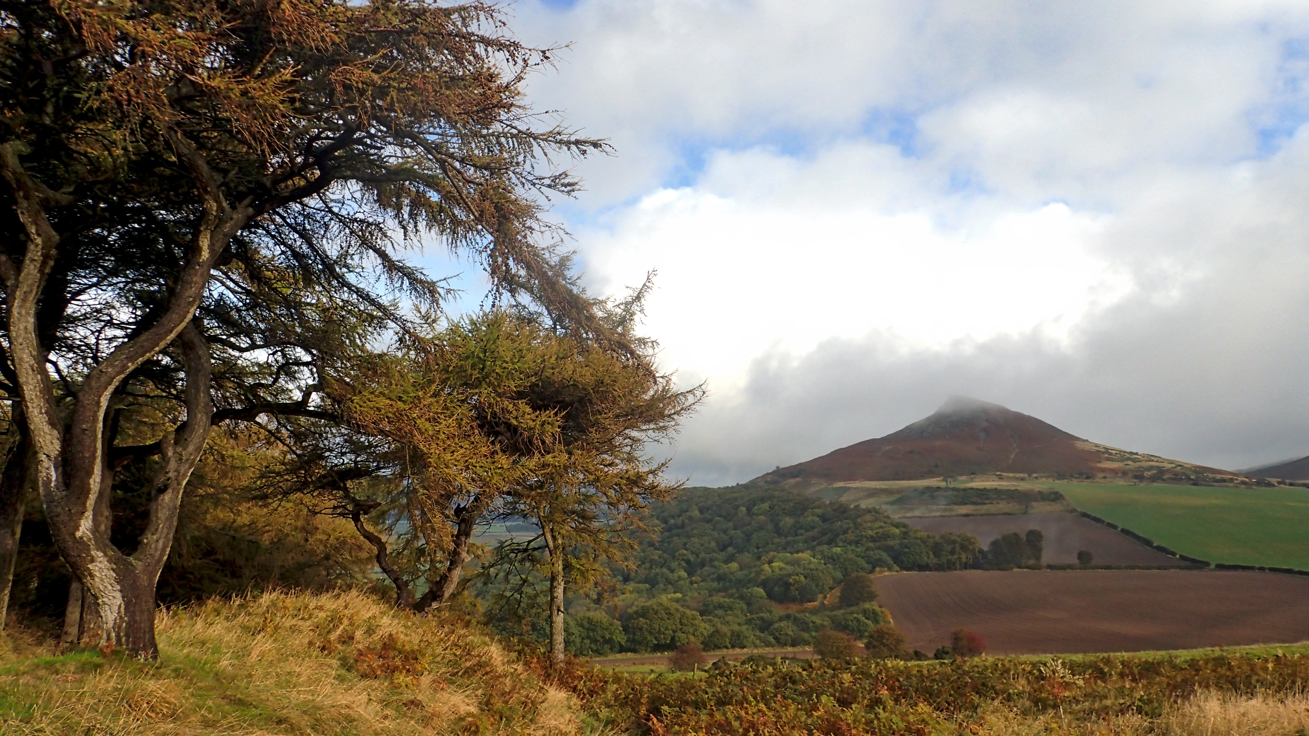
Roseberry
It was raining when I set off and ten minutes before I took this, I was in cloud on the summit. And then the sun came out. Turned out nice. Open Space Web-Map builder Code
-
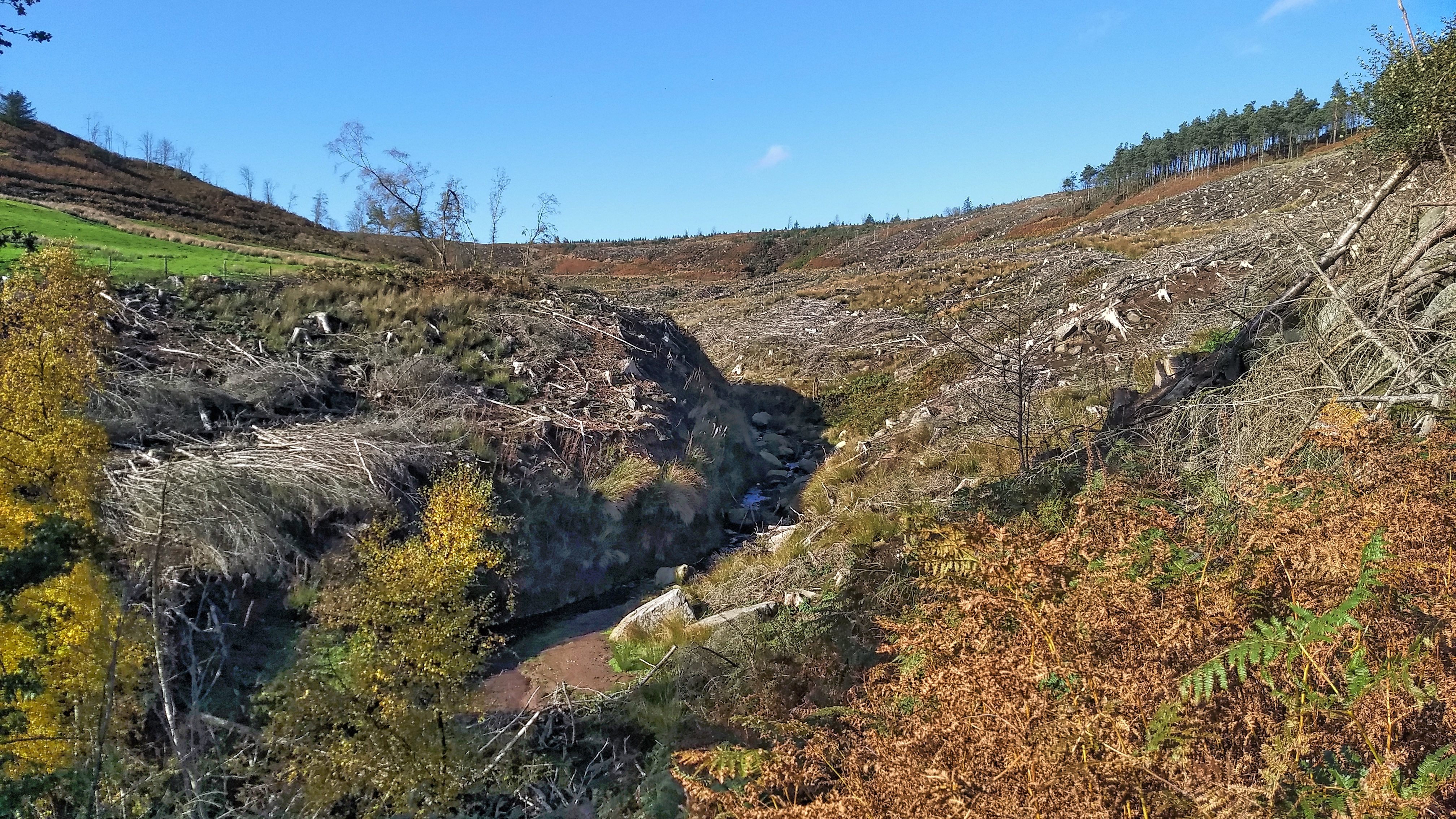
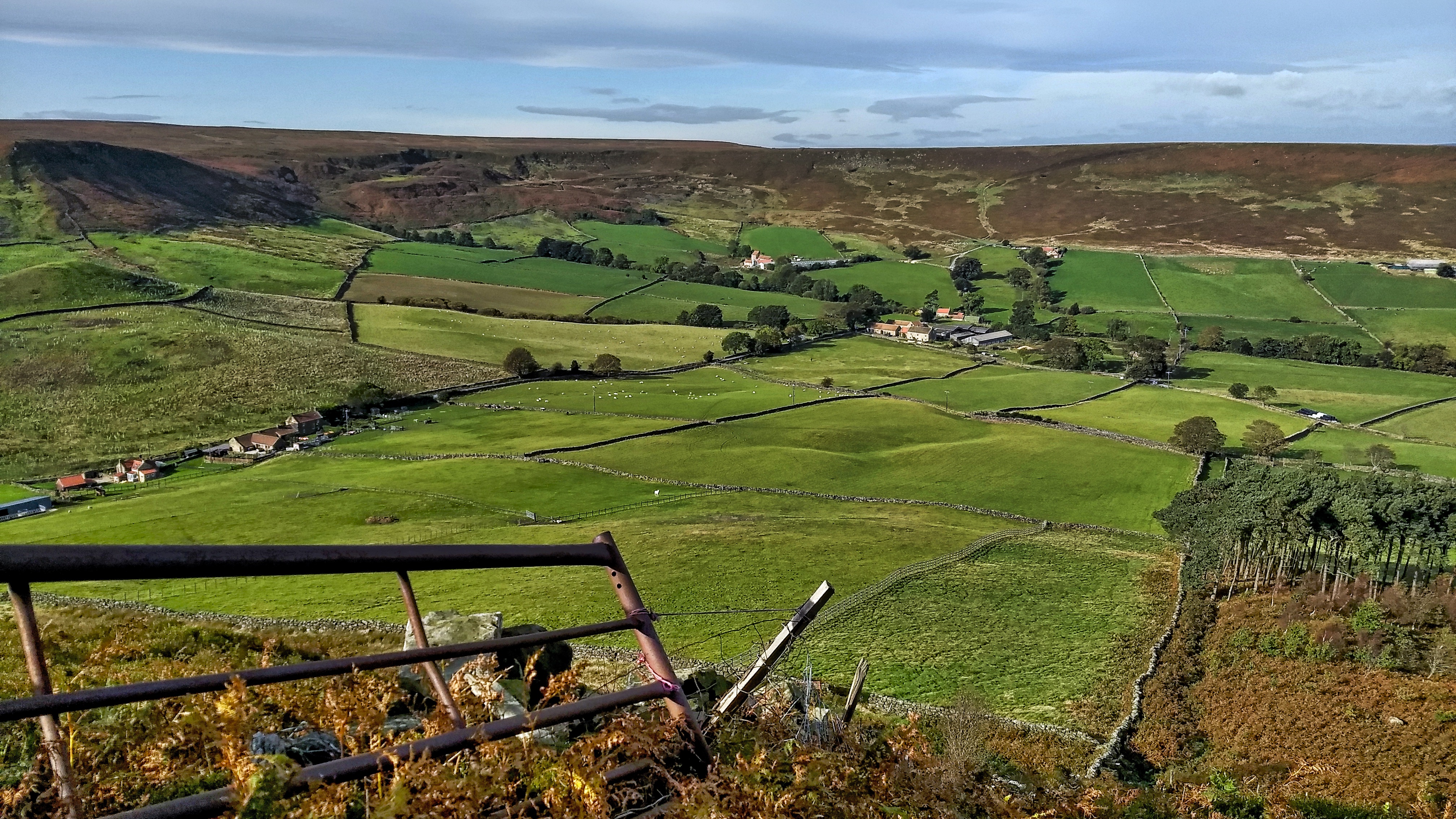
Badger Gill
Some pesky rabbits took me to Badger Gill in Bransdale. An intake field for one of the National Trust’s tenant farmers was being made rabbit proof. Looking upstream from the limit of Trust property is a scene of devastation. Bransdale Forest, comprised of various pockets of trees scattered throughout the dale, was planted in the…
-
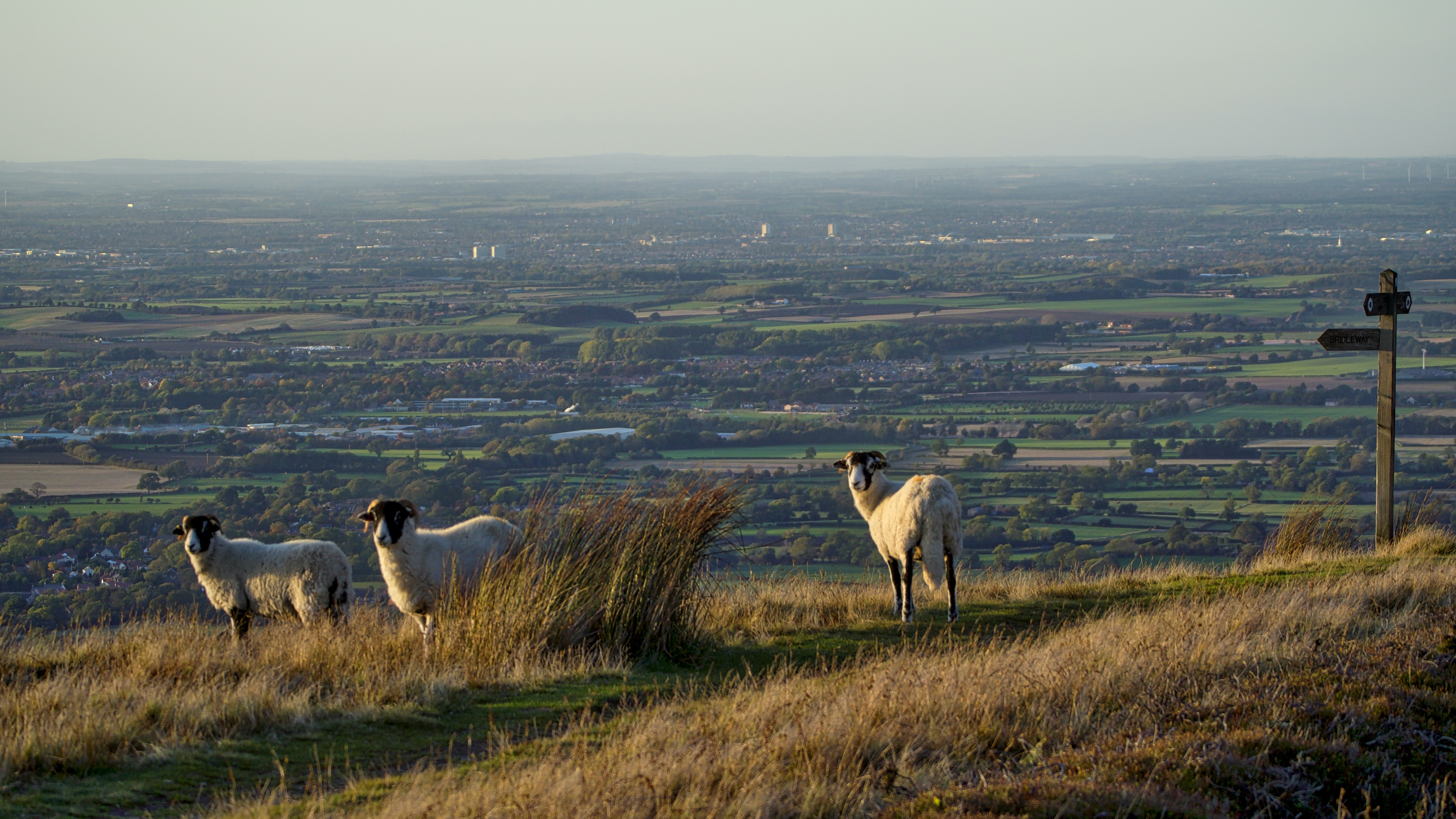
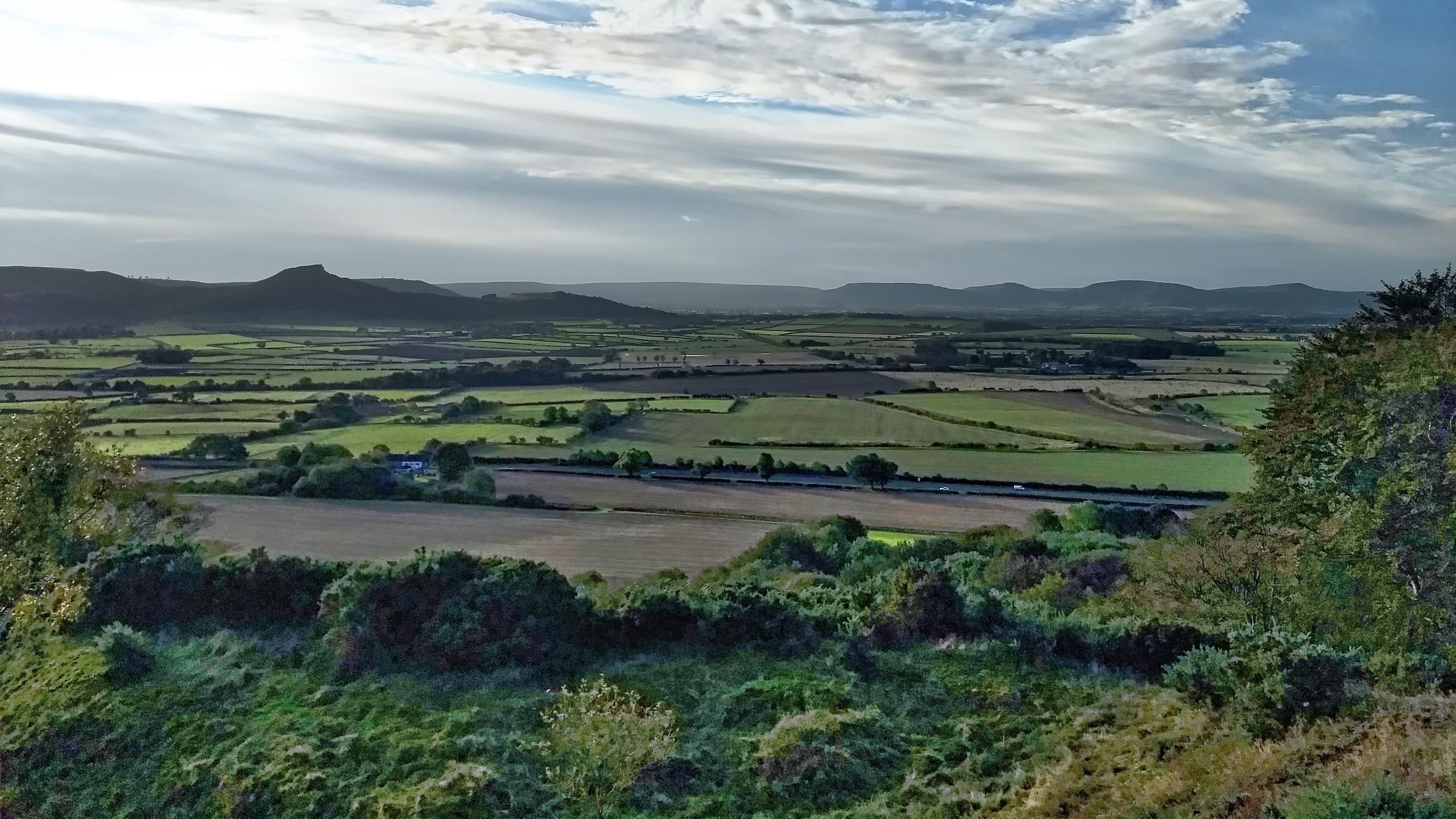
On Carr Ridge
A wander up Carr Ridge with the dog on a glorious end to the afternoon after another wet morning. Super clear views across the Tees plain to the foothill of County Durham. Open Space Web-Map builder Code
-
On Hood Hill
Rain before seven, Lift before eleven. So the old saying goes, but, ok the rain had stopped but the cloud still blanketted the 250m glacial outlier of Hood Hill. We climbed the hill to explore the earthworks of a medieval fortification, a motte and bailey castle. And to talk of the legends of witches…
-
The Carrs
An uncommon view of Roseberry across the flatlands of Moreton Carr and Upsall Carr but one that would be easily recognised by commuters on the A171 Guisborough By-Pass. The ‘Carr’ element of these names comes from the Old Scandanavian word kjarr meaning a marshy area, giving an insight into the terrain in medieval Cleveland. Open…
-
Little Fryup Dale
It’s been a few months since I’ve been up on the Heads, that elongated hill separating the two Fryup Dales. This is the head of the smaller dale. The buildings on the far left are named on the map as Fairy Cross Plain. There are two cottages, one is relatively modern but the other has…
-
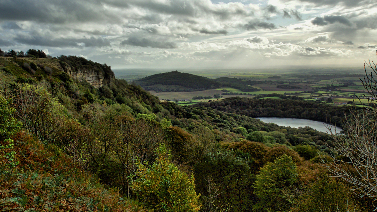
Whitestone Cliff and Gormire Lake
Looking down onto Lake Gormire near Sutton Bank. A place of myth and legend. In the distance is the elongated Jurassic outlier, Hood Hill with where Druids were said to have made sacrifices. Some say Lake Gormire was made when an earthquake swallowed up a whole town. The roofs of the houses and chimneys can…
-
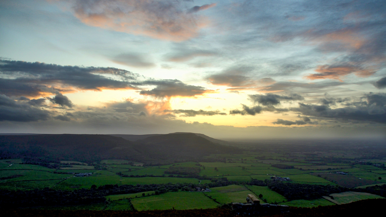
The Cleveland Hills
Up onto Greenhow Bank to catch the sunset only to find it fizzled out when the sun dropped behind a low bank of cloud. But still enough light reflecting off higher-level clouds. A view to the Cleveland Hills across the fields of Greenhow Botton. Open Space Web-Map builder Code