Category: Leven Vale
-

Leven Vale and its Wayward River
The 1856 Ordnance Survey 6-inch map labels this ruin as a sheepfold. I remain unconvinced. It looks too small, for a start. But what would I know. This view looks down into Leven Vale, where the River Leven begins its oddly ambitious journey. It starts here in the upper reaches flowing east, then pulls off…
-
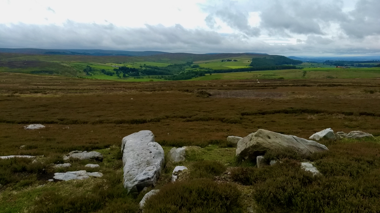
On Wayworth Moor
There’s nothing quite like exploring a new place, seeing a new view, or just the sudden recognition of a familiar view from a different direction. The last time I was on Wayworth Moor to look at the stone circle was 2016. Five years, it seems an eternity. Ahead, Leven Vale is suffused in the verdurous…
-
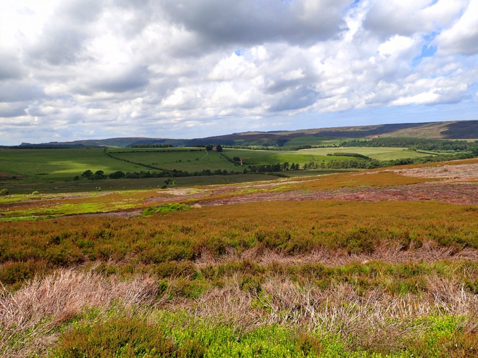
Leven Vale
My DofE group today decided to explore the upper reaches of the River Leven. A quiet, unfrequented area of heather moorland on a warm, sunny day giving views I’ve never seen before. In the centre on the far side of the valley is the tall chimney of the Warren Moor Ironstone Mine. I’ve been asked to include…
-
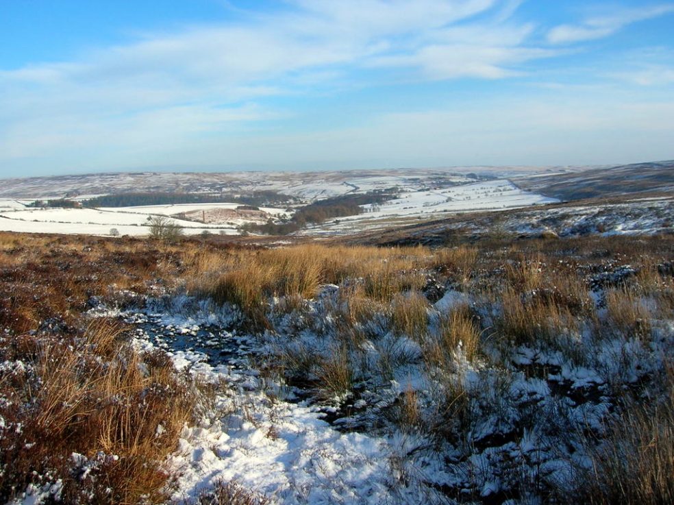
Source of the Leven
Went searching for the spring marked on the OS map as the Source of the Leven on Warren Moor. This is the highest point water was flowing. Behind me was 50m of bog. The River Leven flows through the villages of Great Ayton, Stokesley and Hutton Rudby before discharging into the Tees just downstream of…