Author: Fhithich
-
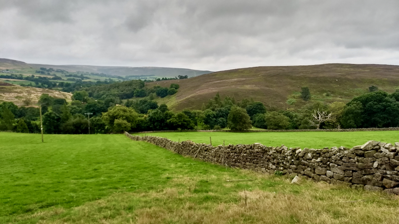
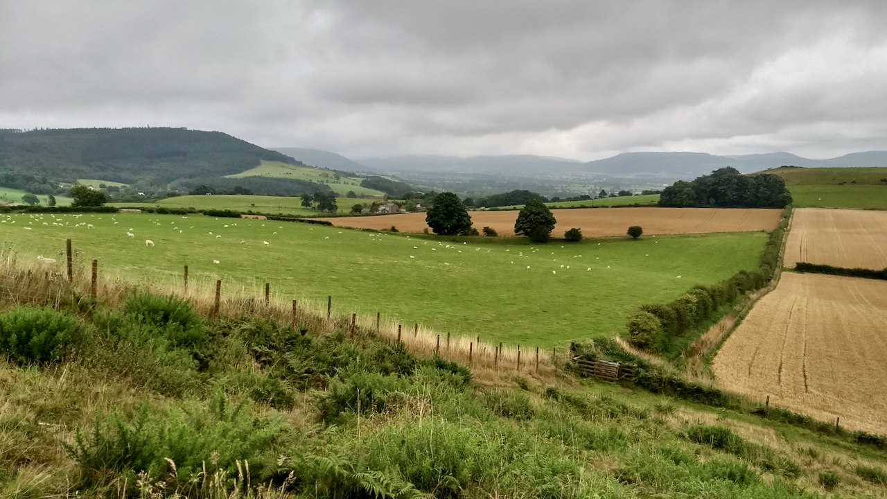
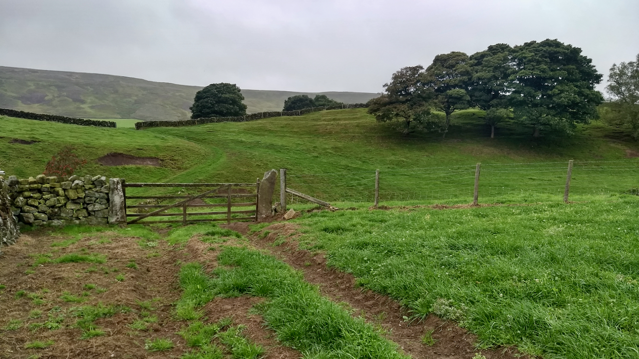
Crown End, Westerdale
The rigg separating Westerdale and Baysdale is mapped as Crown Head. That’s it on the right, rising to 236 metres (774 feet) at its highest point. Baysdale is the nearer valley, Westerdale straight ahead. Crown Head is best known as a site of pre-historic remains, representing activity between the Bronze Age and late Iron Age.…
-
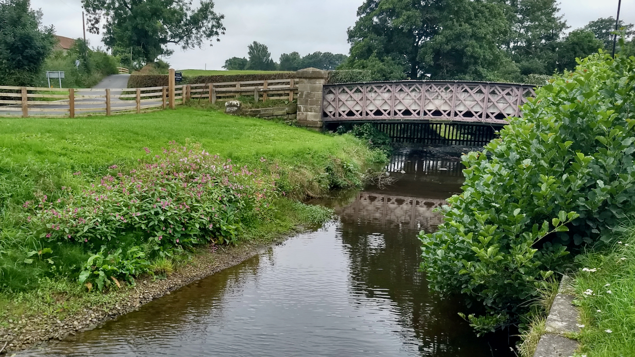
Himalayan balsam on the banks of the Leven
The clump of pink flowers on the far bank is Himalayan balsam, a notorious invasive plant, the scourge of conservationists and environmentalists. The plant was particularly rampant on this stretch of the river about six years ago and they did have a blitz to eradicate it but it has returned. There are more clumps further…
-
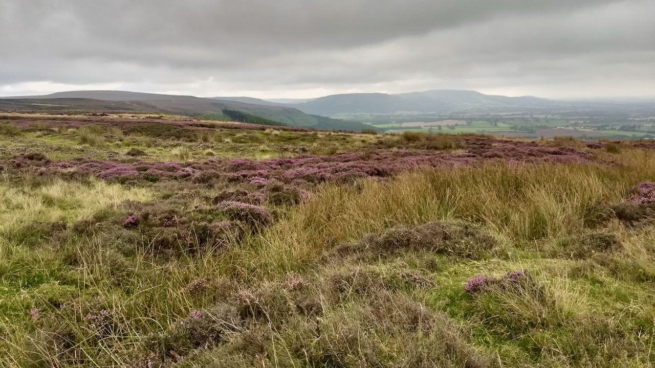
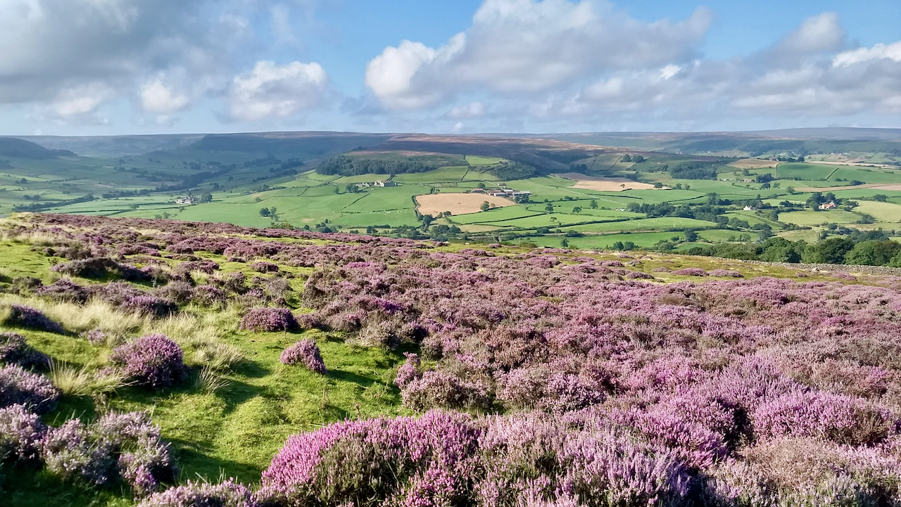
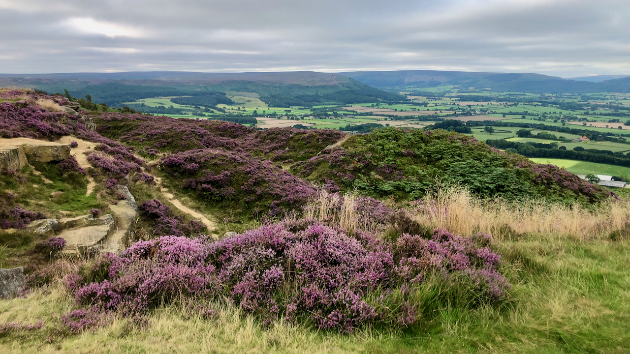
The Park, Kildale Moor
A view south along the Cleveland Hills on the meteorological first day of Autumn. Corrugated skies of grey. The heather is just about to change, not many more days when there is a hint of the purple. This moorland was once part of a medieval deer park of the Percys of Kildale. Just out of…
-
On this day in 1962 …
… mountaineers Chris Bonington and Ian Clough become the first Britons to conquer the north face of the Eiger. The 13,040 ft. climb took them two days and was one of the fastest ever. Within three hours of reaching the summit they were back in their hotel room. Here’s what the Guardian said in their…
-
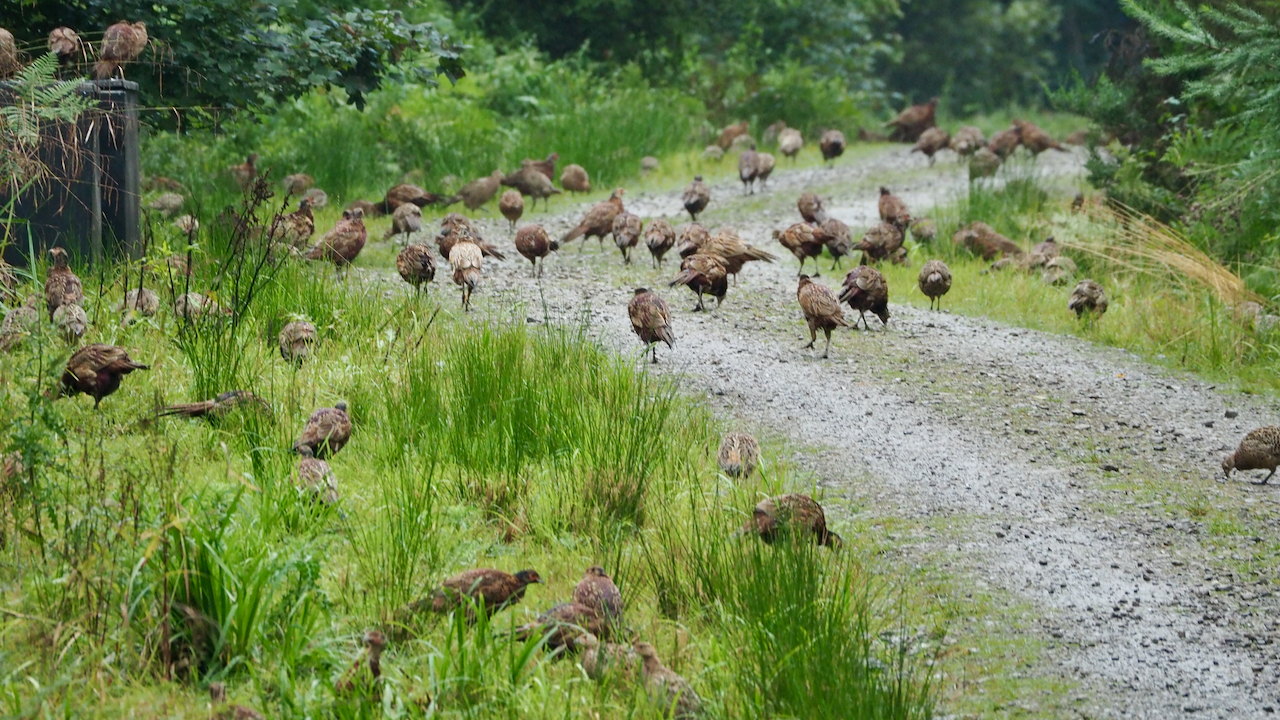
Here’s a wizard wheeze …
Let’s release a non-native species into the British countryside that will predate on and compete with our native wildlife for the sole purpose that people can kill it. You would have thought Defra would have something to say about it. I am talking of course about pheasants. 47 million of them are released into the…
-
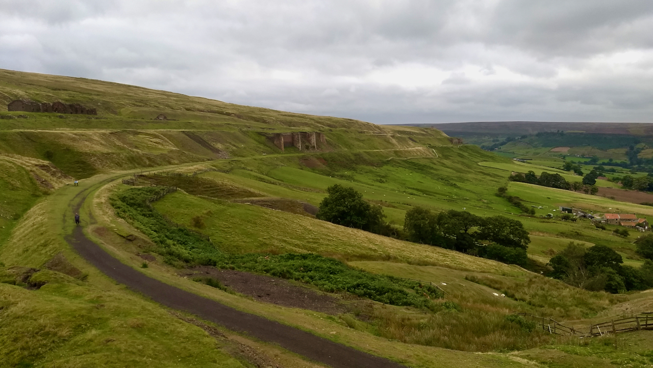
Rosedale East Mines
The great sweep of the old railway track as it descends to the calcining kilns of the Rosedale East Mines. The gradient at this point is about 1 in 60. The line continues to terminate at the goods depot and coal yard at Low Baring. On the extreme left of the featured image are the…
-
Danby Rigg, flanked by Little Fryup Dale and Danby Dale
The sunshine made a refreshing change from the low cloud and mizzle of the last few days. This is taken on the descent from Danby Beacon looking due south. Just left of centre is Danby Castle, a partially ruined 14th-century pile built by the Latimer family, now part of a working farm with Court Leet…
-
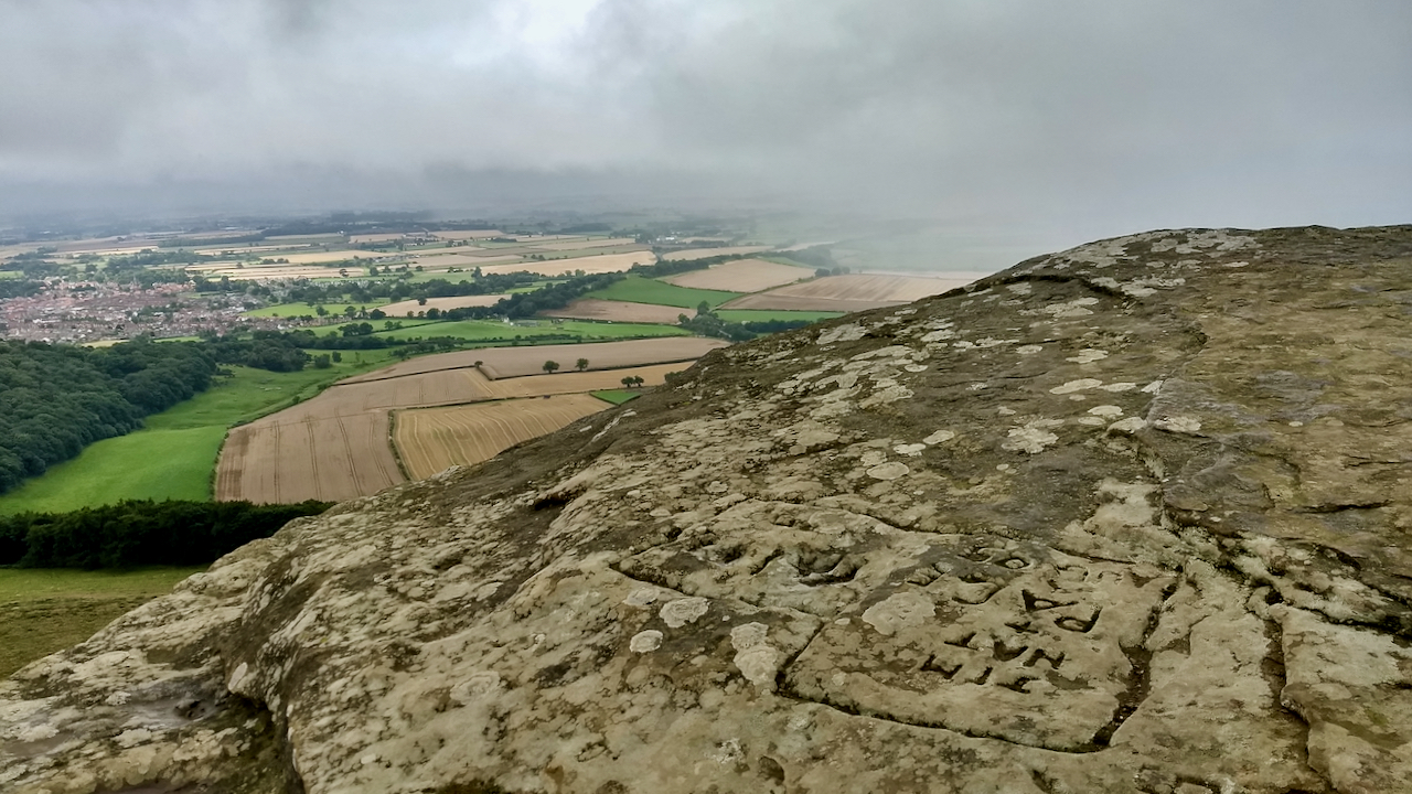
Capt. Cook’s Monument and Aireyholme Farm
The familiar sight of Capt. Cook’s Monument on Easby Moor appearing as the low cloud dissipates. It wouldn’t have been familiar to the young James Cook who lived as a young boy at Aireyholme Farm (centre of photograph). His father was employed there as a hind or skilled farm hand. However problematic Cook is in the…
-
Round Hill Iron Age hillfort, Westerdale
Although a much brandied term, believe it or not there are only a handful of prehistoric fortified sites recorded within the North York Moors. All, with one exception, are ‘Promontory Forts‘, the exception being Round Hill in Westerdale. These Promontory Forts are generally located on the Cleveland and Hambleton Hills: Eston Nab, Roulston Scar, Boltby…
-
Turkey Nab from Easby Moor
A view across the vale of Cleveland towards Turkey Nab, scarred by the recently graded track that climbs the bank. This is thought to be the start of Thurkirsti, the ancient route across the moors to Kirbymoorside. Thurkirsti does suggest a likely root for the name of ‘Turkey’ and seems more plausible than another explanation…