Tag: dale
-
Parci Gill
Parci Gill is a tributary of the River Rye nestling between Cow Ridge and Sour Milk Hills on the moors to the west of Bilsdale. The name, Parci, sometimes written Parsi, is unusual and its etymology is difficult to explain. It has been suggested that it may predate the more usual Old Norse and Anglo-Saxon roots.…
-
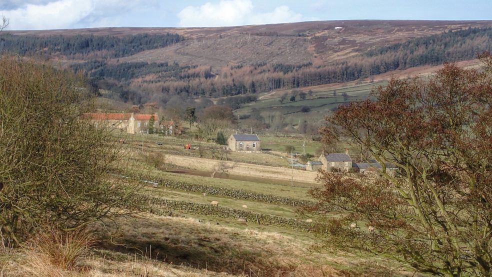
Raisdale
Back from two weeks in the Outer Hebrides and already planning next year’s trip but as John Denver sang “hey, it’s good to be back home again”. This is the eastern branch of Raisdale with Beak Hills farm below the narrow ridge of Cold Moor or, as it was once called, Mount Vittoria.
-
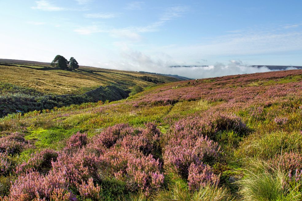
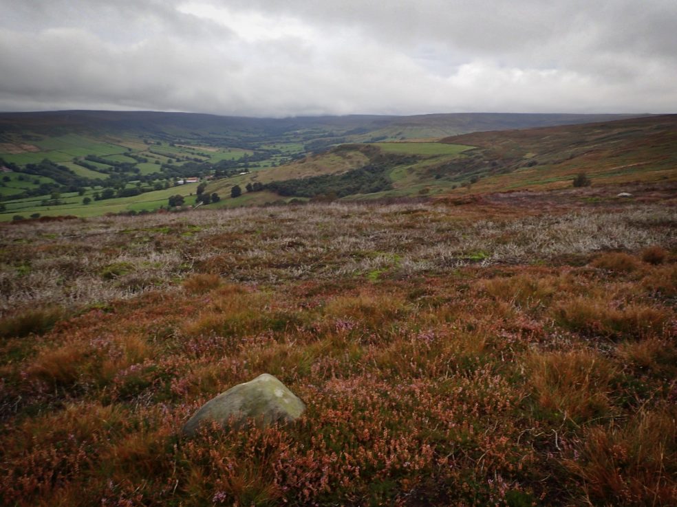
Sleddale
For a brief few weeks the moors are a sea of purple heather which is now at its best. Seen from Highcliff Gate, Sleddale Farm appears an island of lush green pasture. The name means a wide flat valley and was probably a meadow of summer pasture before being given to the priory to be…
-
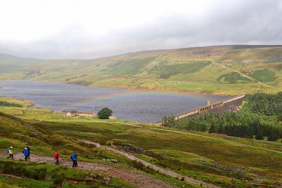
Scar House Reservoir
Scar House was the third reservoir in upper Nidderdale to be built for the Bradford Corporation Waterworks. Construction work took 15 years finally completed in 1936 with one million tons of masonry being quarried from on Carle Fell opposite. The incline leading to the large quarry can be seen in the photo. The workers and…
-
Farndale
Farndale, one of the quieter dales of the North York Moors. Except in the daffodil season. Five minutes later the rain came.
-
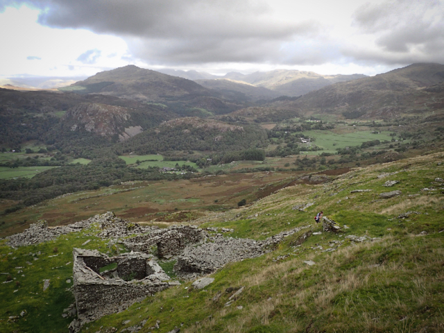
Caw Slate Mine
Fit for nothing today after yesterday’s exertions so I thought I would be justified in posting another photo from yesterday. This is Caw Slate Mine on the western slope of Caw, a 529m peak on the Coniston Fells. The view is north across the Duddon valley with Harter Fell the obvious peak left of centre.
-
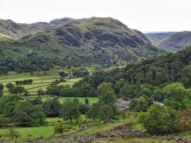
Thorneythwaite
Borrowdale, one of the wettest places in England. The hamlet at the bottom of the photo is Seatoller nestling at the foot of Honistor Pass. And the farm left of centre is Thorneythwaite, the National Trust’s latest acquisition. Besides the fields the 300 acres of land the Trust has brought includes woodland, fellside, wood pasture…
-
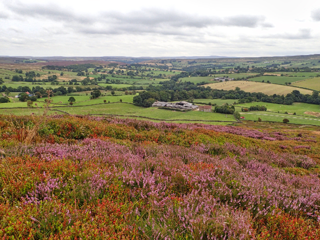
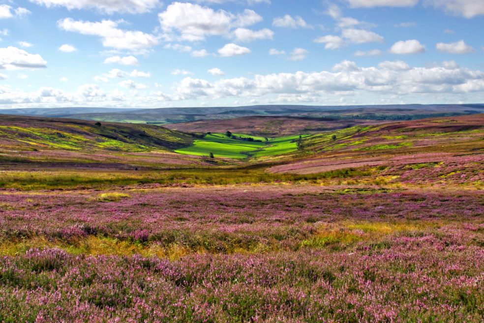
Westerdale
Better known as the name of the village, on the ridge on the right of the photo, but this upper part of the River Esk is mapped as Westerdale. The ling or heather is in full bloom. From John Breckon Road.
-
Westside, Bransdale
Volunteering with the National Trust today in Bransdale. Removing some old fencing. Bransdale is perhaps the most quietest and secluded dale on the North York Moors. At the moment as the road to Farndale is closed, access can only be gained via Helmsley. The National Trust owns 2,000 acres, mostly tenanted upland farms. Prior to 1934…