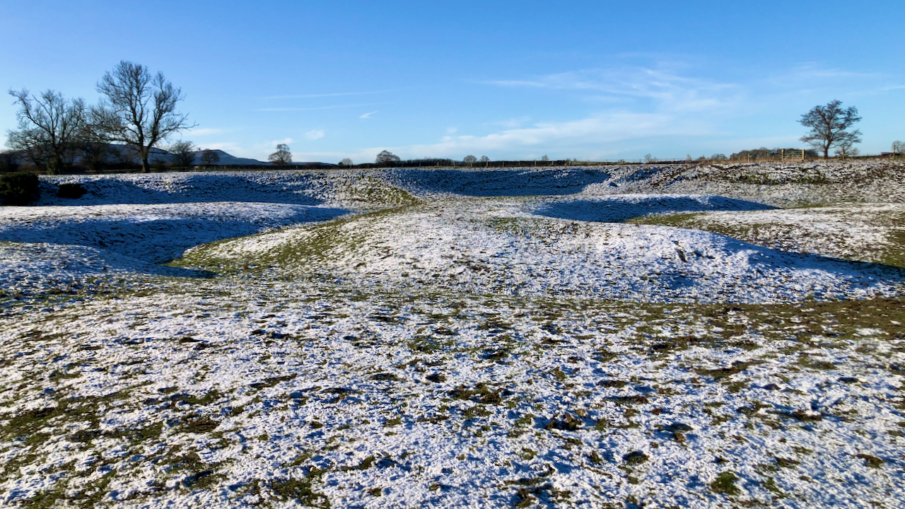
A meander is caused by erosion of the concave outer bank and deposition of sediment onto the convex inner bank.
This often results in a narrow neck being formed which is prone to being broken through by floodwaters to create an ox-bow lake.
Eventually, over time, the lake will silt up with fine-grained, organic-rich sediment carried in by floodwaters.
This particular area, though, appears to be the result of a large avulsion, which caused the river channel to significantly shorten.
According to the 1856 O.S. map, the river appears to be relatively unchanged, suggesting this avulsion occurred before then1‘View Map: Yorkshire 29 (Includes: Easby; Great Ayton; Ingleby Greenhow; Kildale; Little Ay… – Ordnance Survey Six-Inch England and Wales, 1842-1952’. 2023. Maps.nls.uk <https://maps.nls.uk/view/102344245#zoom=7&lat=5180&lon=3578&layers=BT> [accessed 18 January 2023].
- 1‘View Map: Yorkshire 29 (Includes: Easby; Great Ayton; Ingleby Greenhow; Kildale; Little Ay… – Ordnance Survey Six-Inch England and Wales, 1842-1952’. 2023. Maps.nls.uk <https://maps.nls.uk/view/102344245#zoom=7&lat=5180&lon=3578&layers=BT> [accessed 18 January 2023]
Leave a Reply