I often end up posting a photo from the remotest part of my run/walk. I guess I have a tendency to think anything closer to the car park can be saved for another day.
It was a late decision to venture onto Pamperdale Moor, or ‘Femperdale Moor’ as it used to be called, circuiting the cluster of fields that were once associated with the farms along the Hambleton Drove Road: Low Mossy Grain, High Mossy Grain, White House, and Soloman’s House1Maps.nls.uk. (2022). View map: Yorkshire 57 (includes: Snilesworth.) – Ordnance Survey Six-inch England and Wales, 1842-1952. [online] Available at: https://maps.nls.uk/view/102344344#zoom=5&lat=8377&lon=3529&layers=BT [Accessed 12 Feb. 2022].. Fields that were excluded from “Open Access” designation under the CR0W Act.
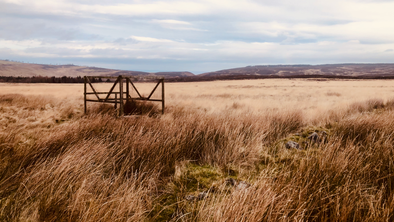
The fields would probably have once been grazed by cattle resting on their way south along the Drove Road. This field has long been abandoned, but no heather has returned, in all likelihood due to edaphic changes in the soil. Instead, a course tufted grass dominates. I’m not sure of the name.
The cleft of Scarth Nick![]() can be seen in the distance, and in the foreground, a reminder of the disdain that exists amongst some members of society for certain types of birds. Fortunately the trap was not in use.
can be seen in the distance, and in the foreground, a reminder of the disdain that exists amongst some members of society for certain types of birds. Fortunately the trap was not in use.
- 1Maps.nls.uk. (2022). View map: Yorkshire 57 (includes: Snilesworth.) – Ordnance Survey Six-inch England and Wales, 1842-1952. [online] Available at: https://maps.nls.uk/view/102344344#zoom=5&lat=8377&lon=3529&layers=BT [Accessed 12 Feb. 2022].
Leave a Reply