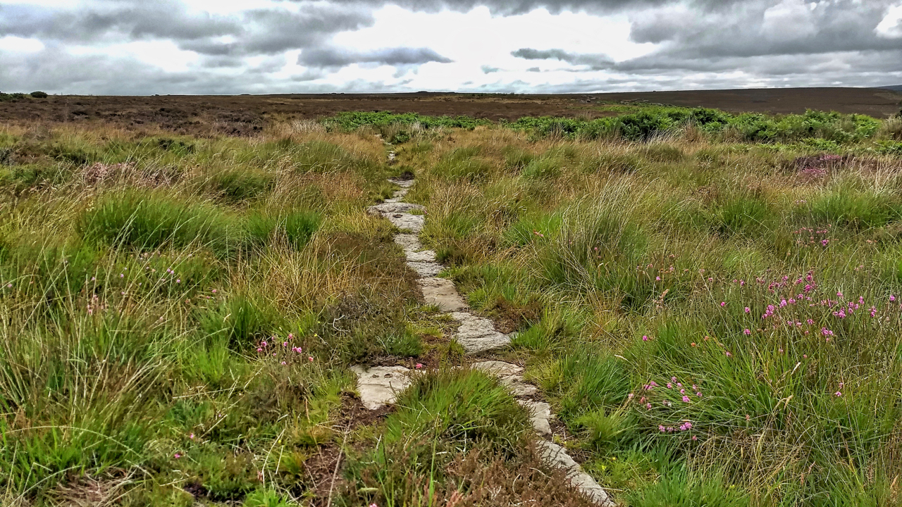
I stumbled across this today quite by accident. A small section of a stone trod running parallel to and about 20 metres from the Commondale to Three Howes Rigg modern road. It is recorded on the NYM NP Historical Environment Records (HER) map as “a section of the post-medieval trod or trackway from White Cross to Guisborough surviving as a paved stone trod leading west from Commondale village.” Should that be ‘to’ Commondale village? This could have been part of the toll road which was later in use between Stokesley and Whitby. It is interesting that the trod has not been recorded as a Public Right of Way even though the evidence that it has been in use hundreds of years ago must be incontrovertible.
Leave a Reply