Day: 29 November 2019
-
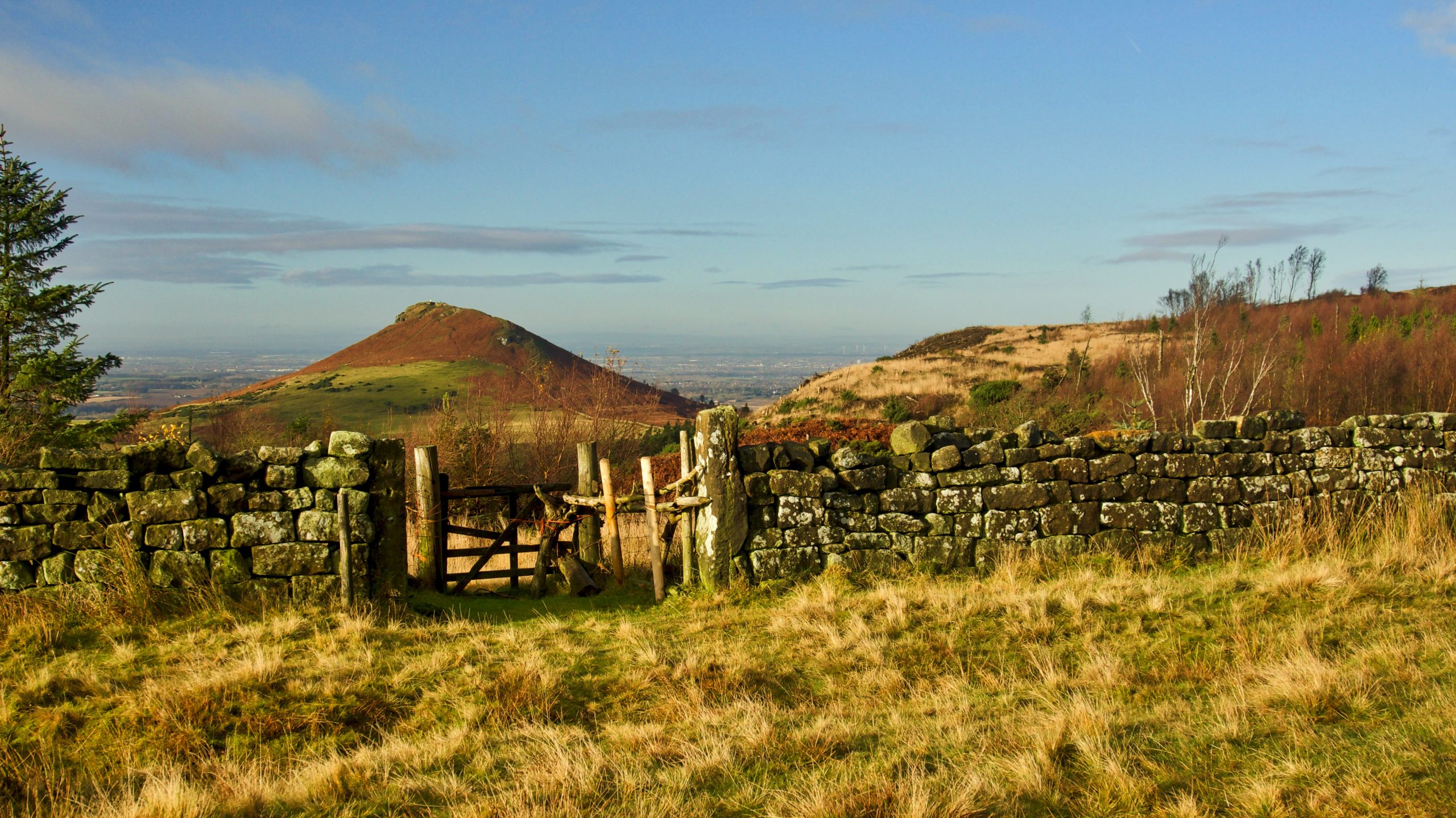
Ounsbury toppin hill
So Christopher Saxton annotated the hill in his Atlas of the Counties of England and Wales which he published in 1579. Commissioned by Elizabeth I, it was the first definitive map of England and Wales with each county being engraved on a separate copper plate on a scale of 1″ to 3⅓ miles. Maps were…