Category: Hambleton Hills
-
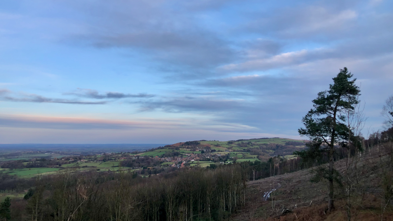
Recent deforestation of Thimberby bank has unveiled stunning vistas of the Vale of Mowbray
To the north, the honeypot village of Osmotherley, lies snuggly between the Hambleton Hills and the Cleveland Hills. The name, Osmotherley, is derived from ‘ley‘, a clearing, belonging to ‘Asmund’ or ‘Osmund’. Its title was recorded in the Domesday Book as ‘Asmundrelac’, before being transformed to ‘Osmundeslay’ and ‘Osmonderlay’. Yet, there is also a legendary…
-
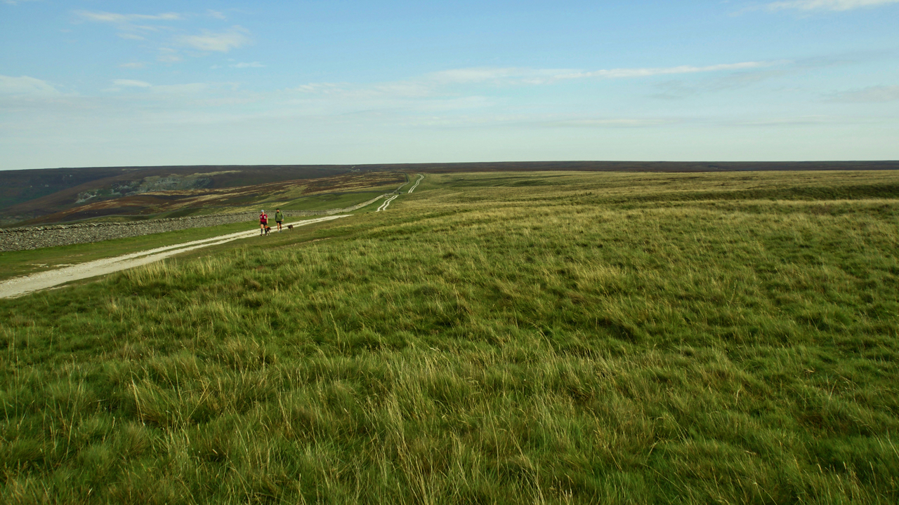
Hambleton Street
I find this track, between Sneck Yate with Square Corner, to be one of most tedious on the North York Moors. It follows the old drovers’ route between Scotland and the south of England. The term ‘street’ may suggest a Roman origin but although the Romans may well have used it (there have been Roman…
-
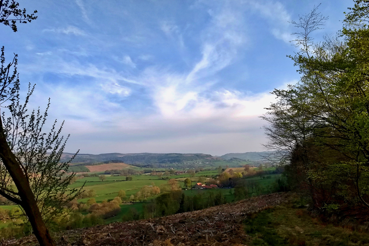
Nether Silton
Some recent felling in Silton Wood on the western flanks of the Hambleton Hills has opened up this view from Crabtree Bank. Hunter’s Hill Farm and the pasture fields of Nether Silton, with Kepwick beyond. The last of the light before the sun sank too low and the remaining blue skies clouded over. Open Space…
-
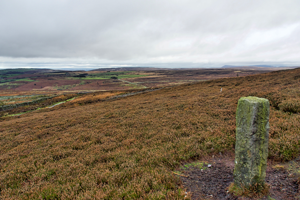
Boundary Stone, Hambleton End
Boundary Stone on Black Hambleton in the Tabular Hills.
-
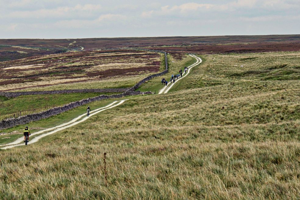
Hambleton Street
The ancient drovers’ route along the western edge of the North York Moors. A route that probably has been used since prehistory. The name “street” implies Roman usage and it’s mentioned by name in a document of 1577. Traffic peaked in the 17th and 18th centuries when herds of cattle were driven from Scotland to…