Category: Gisborough Moor
-
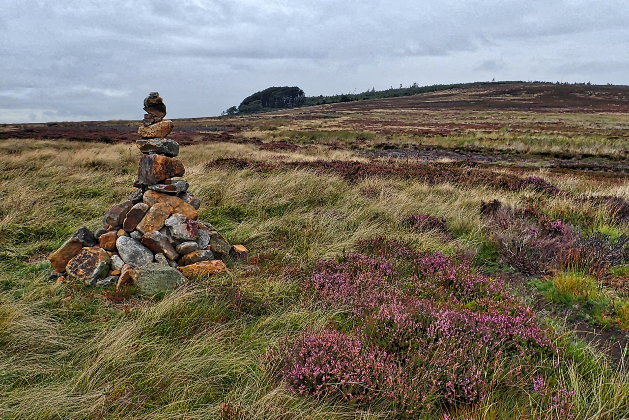
Potters Ridge
On Codhill Heights looking up towards Potters Ridge. A precarious cairn. One of a pair, both newly built. First time I have seen them. The moorland is part of the 3,460 acres of grouse moor owned by the Baron Gisborough whose farms received £89,278.37 under the Common Agricultural Policy (CAP) in 2016. Open Space Web-Map…
-
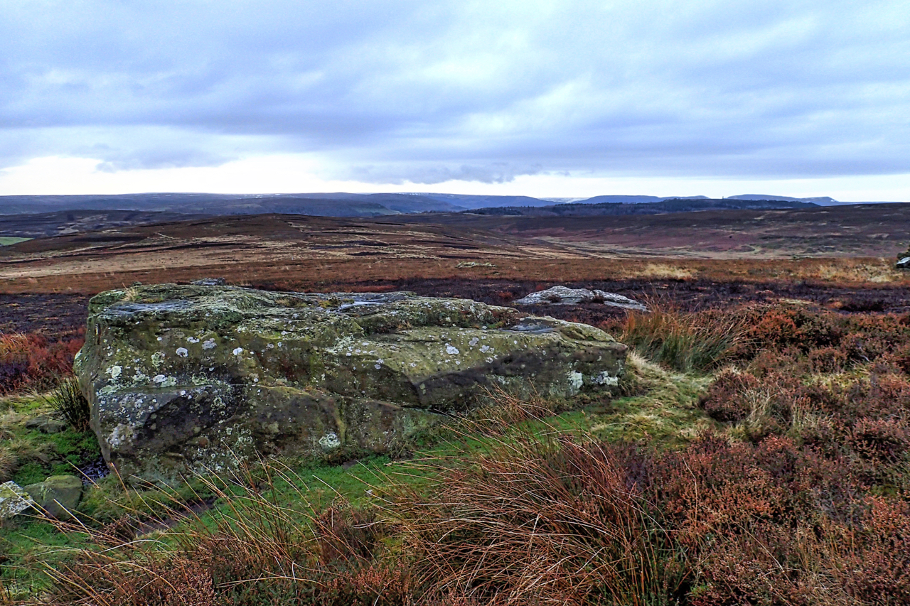
Boulder, Potters Ridge
It always surprises me that this large flat boulder, on Potters Ridge around the back of Highcliff Nab is not named on any map. It is certainly significant and its location on a high point on the North York Moors escarpment only slightly lower than surrounding tops would have been a natural draw for prehistoric…
-
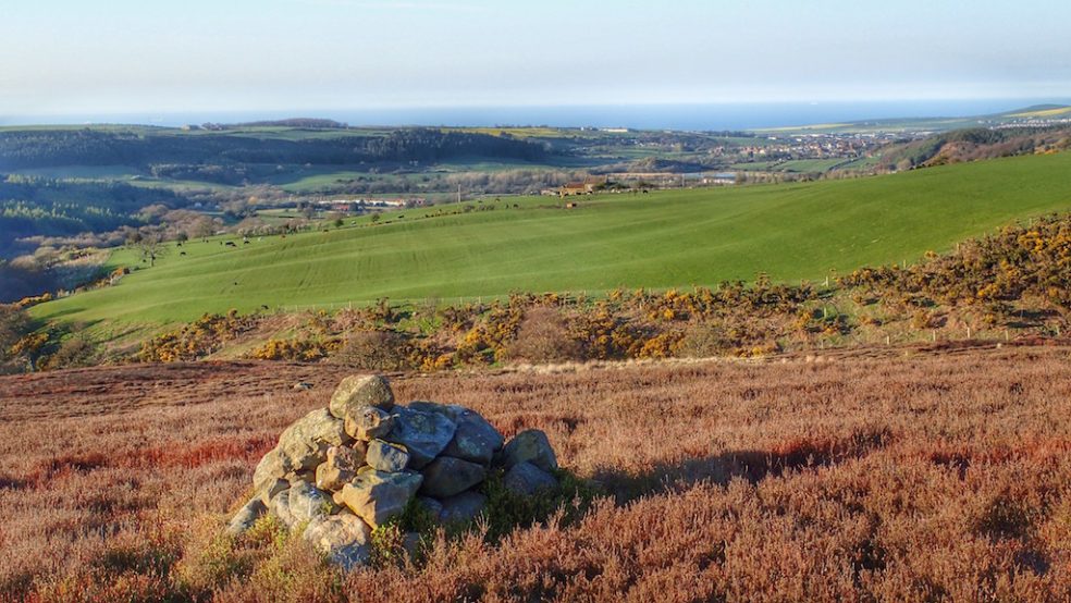
Tidkinhow Slack
Late evening walk across Guisborough Moor. The view is NNE across the small stream known as Tidkinhow Slack to Boosbeck, Brotton and the North Sea beyond. Tidkinhow Farm, located on the rise across the field, is almost at the same height above sea level as from where I was standing. It must be quite exposed yet I…
-
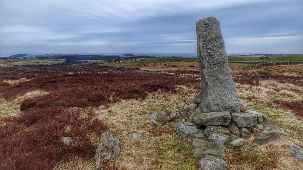
Hob Cross, Tidkinhow Head
Situated on the ancient route from Guisborough Priory to Whitby Abbey, this boundary stone probably stood on the site of a medieval way marker or cross. It’s inscribed with the date 1798 marking the boundary of the estate of Robert Chaloner. Today it’s the boundary of Guisborough and Lockwood parishes. The 1.9m high stone is…