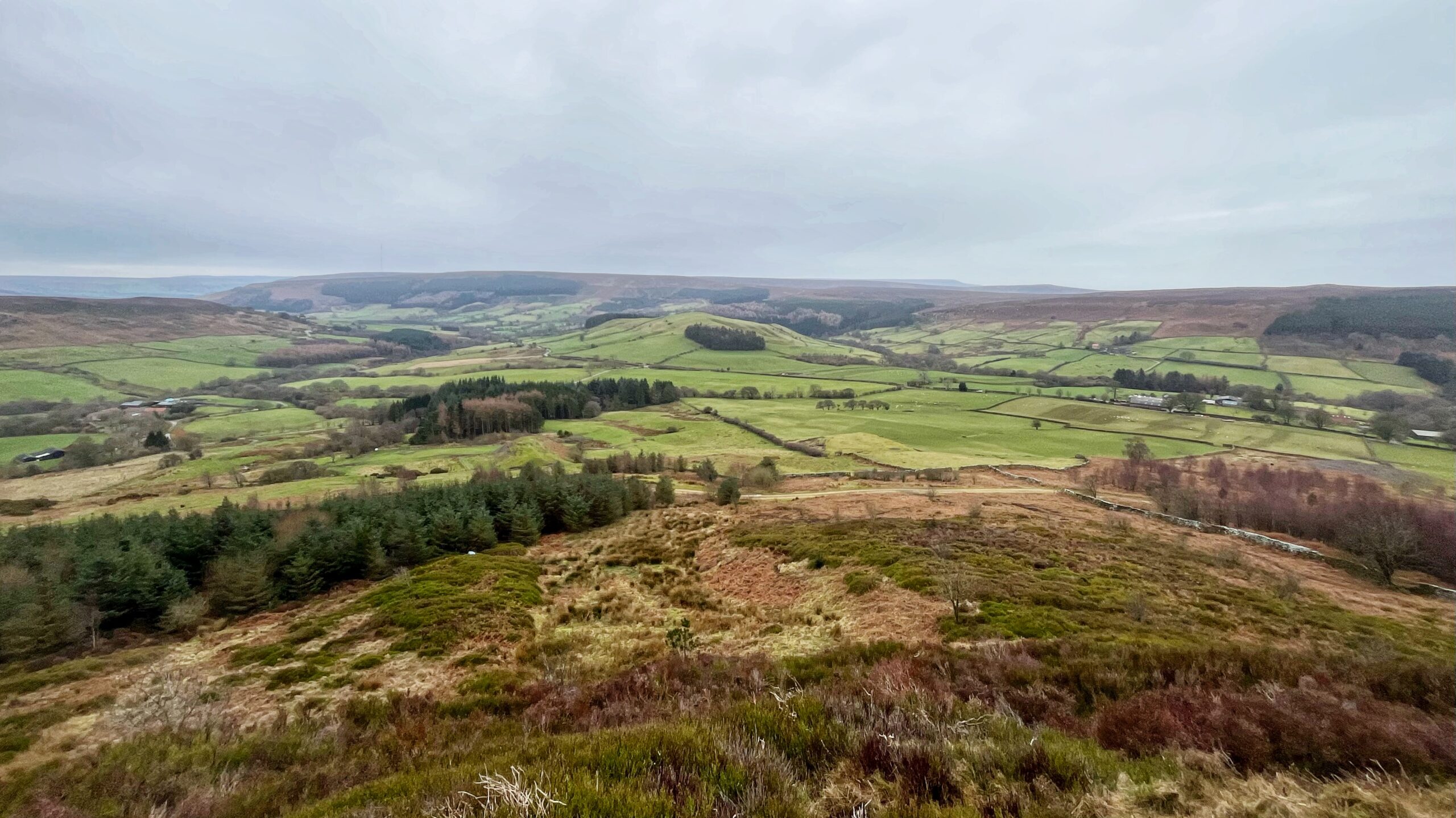
A view from the rear of Cranimoor, or Cringle Moor as modern maps insist on calling it. Raisdale splits into two narrow arms, held apart by the modest bulk of Wath Hill, a hill so thoroughly “improved” for pasture that every trace of wild moor has been rubbed out. No heather, no grouse. Pheasants aplenty instead.
Wath is an oddity. It seems to bar the valley like a stubborn gate, yet a way into Bilsdale slips past on either side. One route is the smooth tarmac road taking the higher line. The other keeps low and less well-used, following footpaths beside Raisdale Beck towards Raisdale Mill. At only 308 metres, a touch over 1000 feet in old money, the hill ought to stand proud. Instead it looks small beside its neighbours, a sheep among cattle.
The name ‘wath’ means a ford, which sits strangely on a hilltop. Old maps suggest that the all the fields on the south side of the hill down to Raisdale Mill go by the general name of plain “Wath”. Perhaps there was once an important crossing below at Raisdale Mill on the old way from Whorlton through Scugdale. Or perhaps the name has another derivation entirely.
Leave a Reply