Tag: water
-
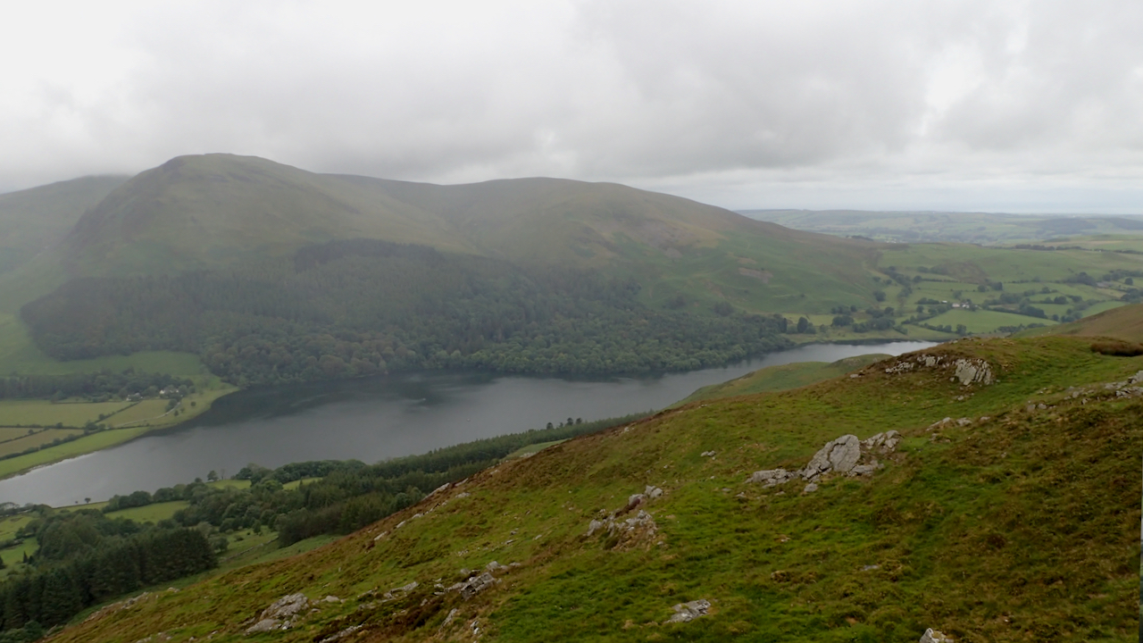
Loweswater
An opportunity to explore the Fellbarrow range of hills west of Lorton Vale. Neat and rolling fells with steep craggy eastern and southern sides. And another two Wainwrights bagged, Fellbarrow itself (416m high) and Low Fell (423m), although I must admit I ran over Low Fell not realising it was the high point. I really…
-
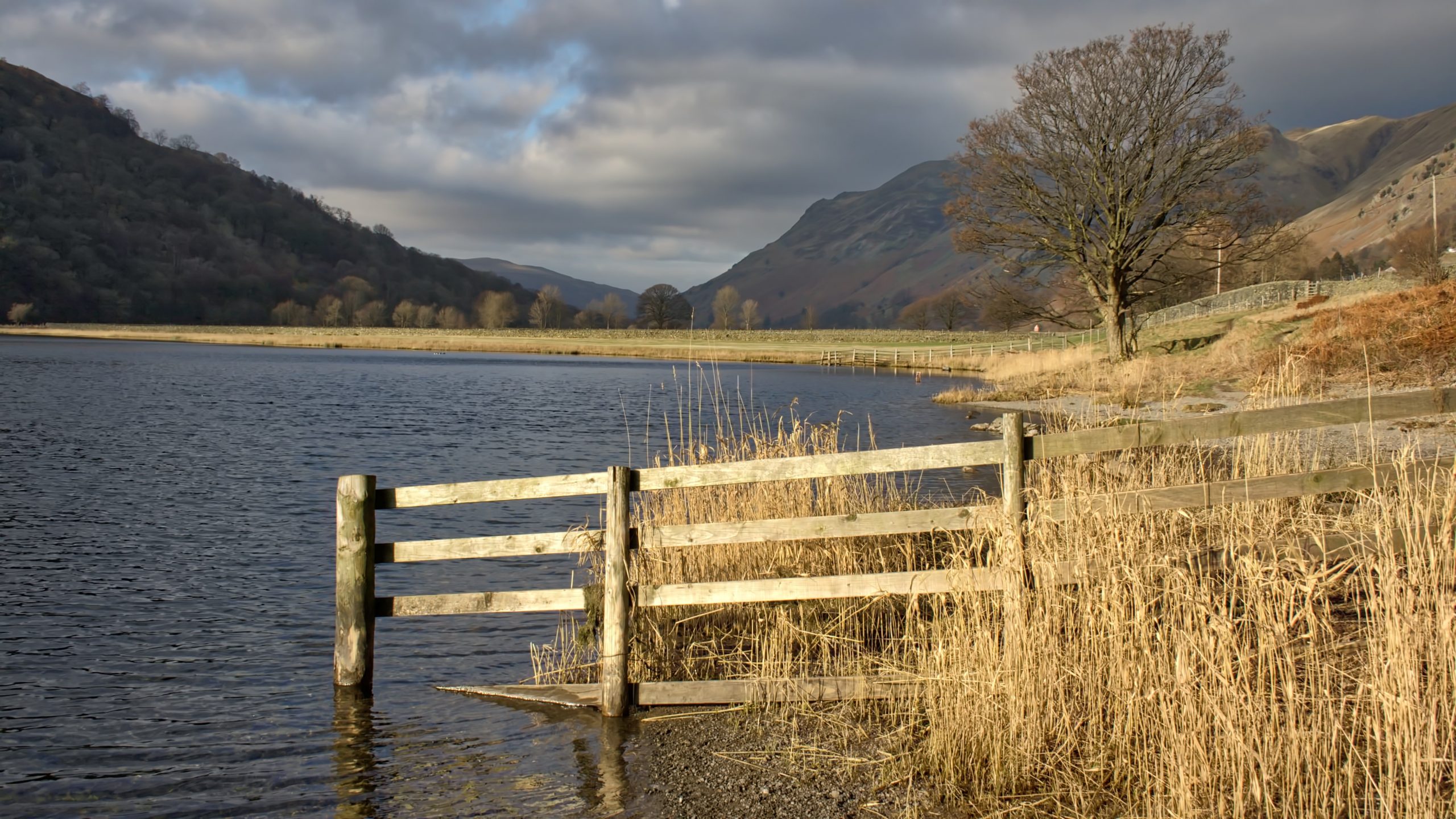
Brotherswater
Originally called Broad Water (and before that Broader Water) it is generally accepted that Brotherswater was renamed after two brothers were unfortunately drowned in there on New Year’s Day around 1812 whilst skating on the frozen lake. Apparently underground springs flowing up from the lake bed caused patches of thin ice. I found this information…
-
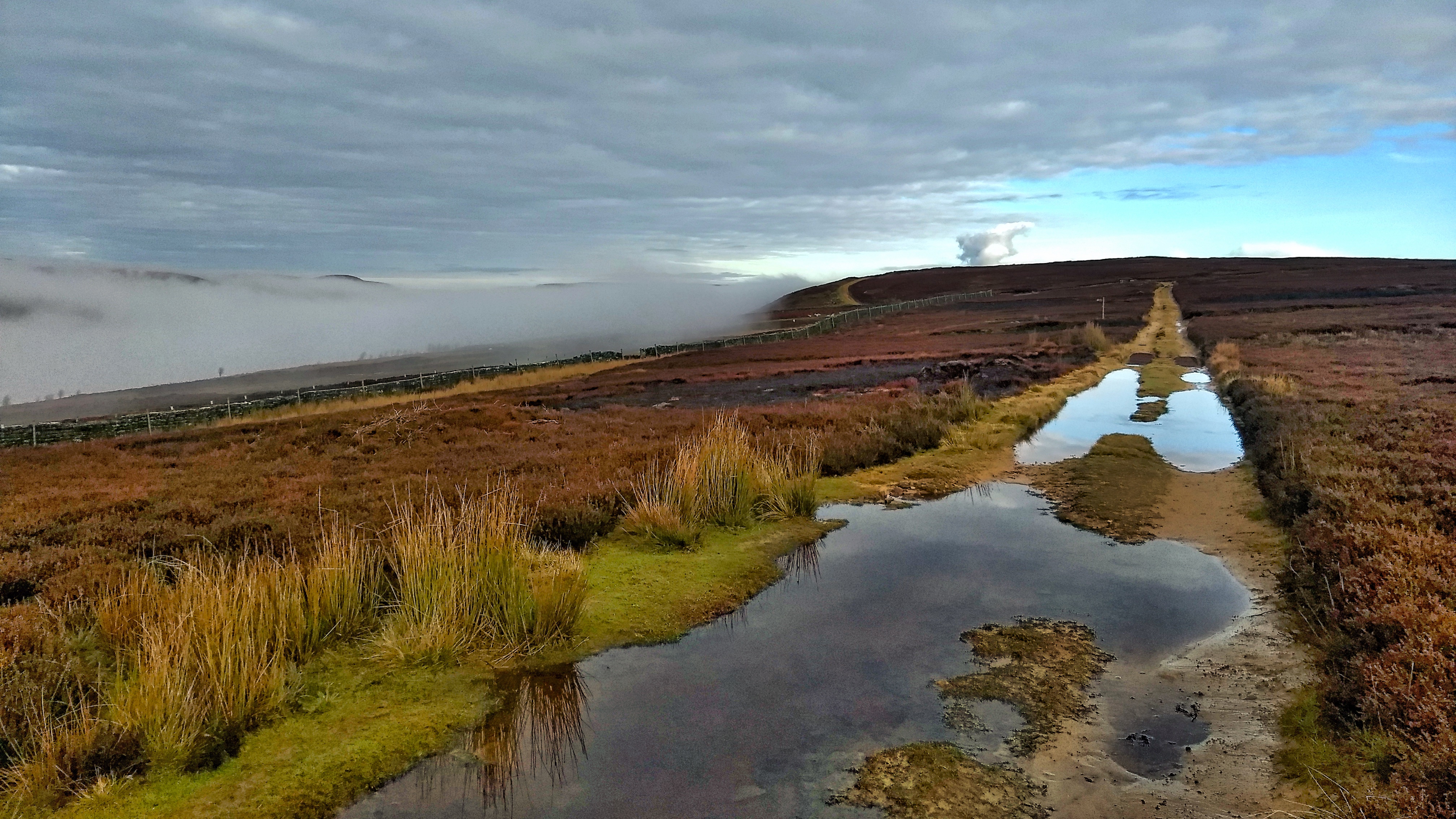
Nab End Moor
It’s been a while since I popped into Tripsdale, a wonderful remote valley though a lack of paths and a dense covering of bracken made a crossing exhausting. There’s a lot of water around, becks are full. Mist clung in the valleys but blue skies broke out on the tops. This is Nab End Moor…
-
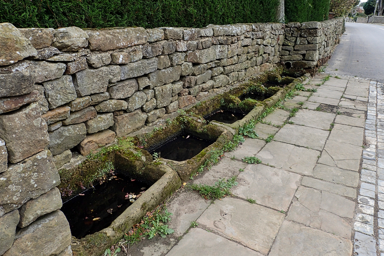
Moorsholm Docks
Right on the High Street of this delightful little village that just missed out on the ironstone mining activities of the rest of East Cleveland, is a row of six sunken sandstone water troughs that have become known as the Moorsholm Docks. Probably dating from the 19th-century they are fed by piped water from a…
-
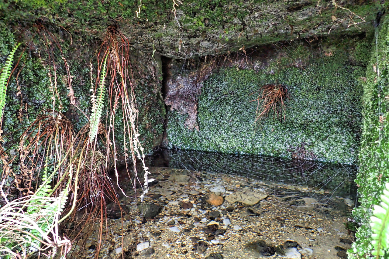
St. Mary’s Well
I have called this St. Mary’s Well. It is a name referred to by the archaeologist Roland Close in his report on his excavation of the Iron Age huts on Percy Rigg. Unfortunately, I have not been able to read his report published before the days of the internet. A copy has been requested but…
-
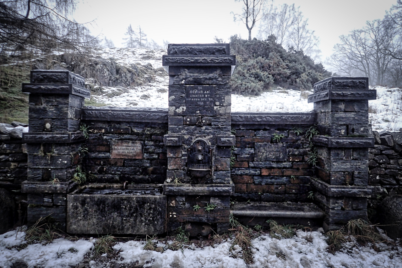
Susanna Beever Drinking Fountain
An intriguing elaborate drinking fountain at almost the highest point on the Coniston to Hawkshead road. A Grade II listed building it is made of local slate and has two sections with a central pillar. The left-hand bay is a horse drinking trough with the inscription above: A RIGHTEOUS MAN REGARDETH THE LIFE OF HIS…
-
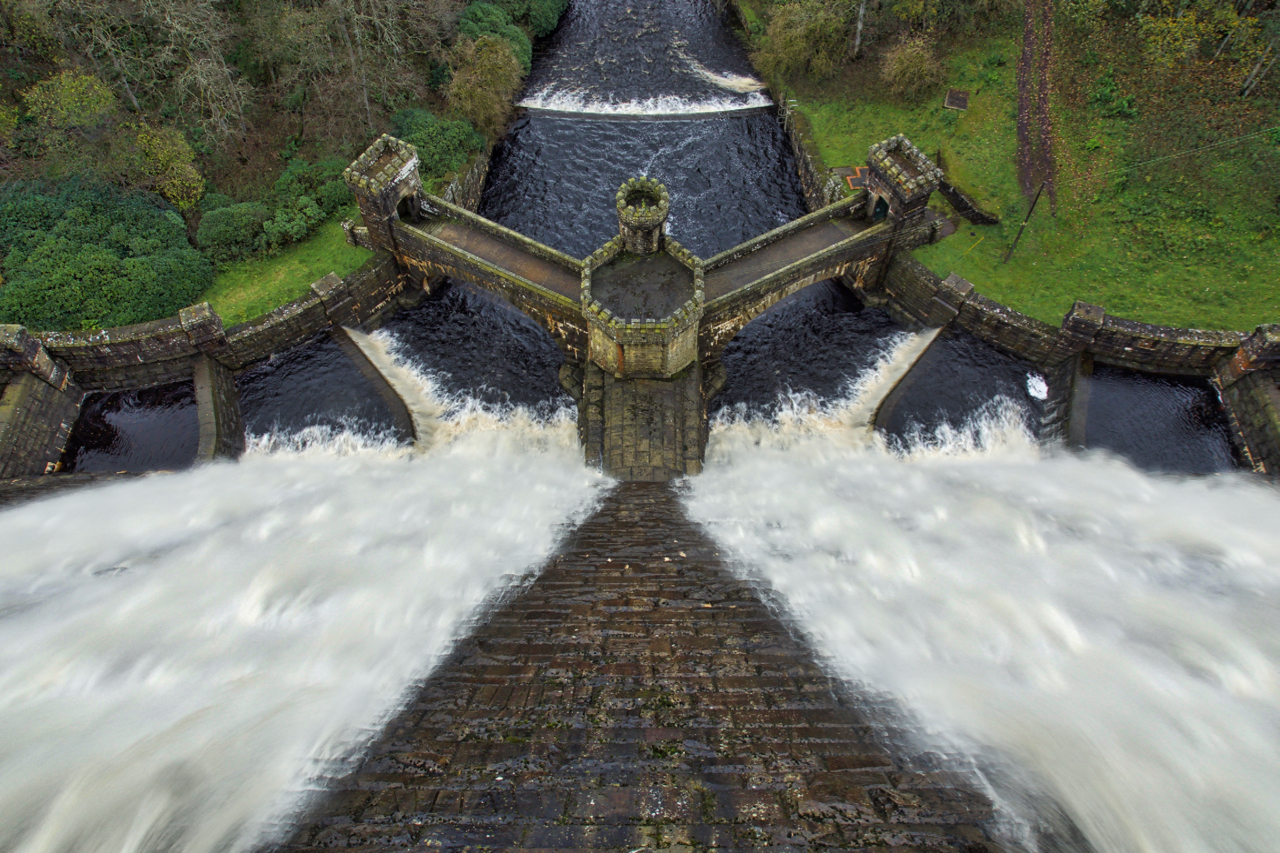
Outflow, Scar House Reservoir
A wet day in Nidderdale
-
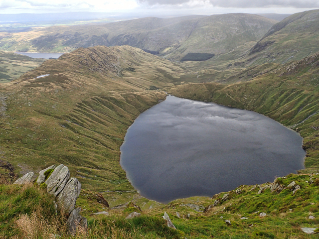
Blea Water
Not a view I see very often. From the lip of the High Street plateau. Blea Water drains into Mardale now flooded by the Haweswater reservoir, the source of Manchester’s water.