Tag: ridge
-
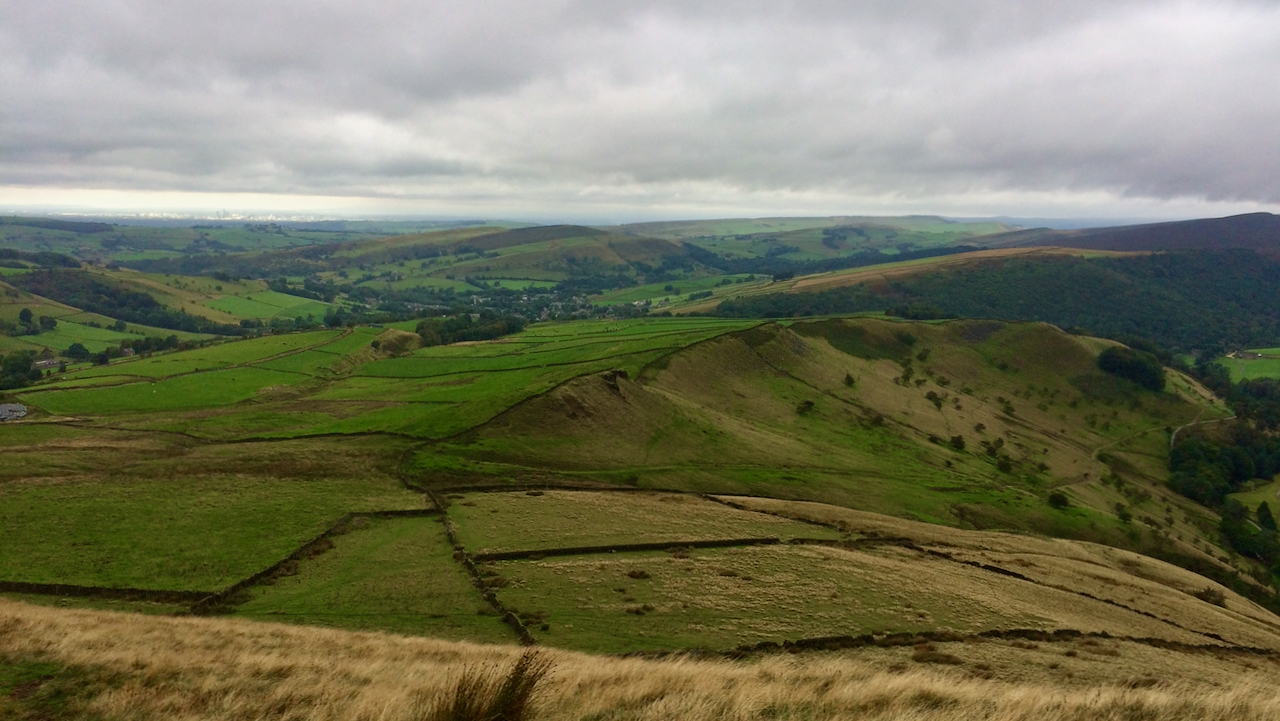
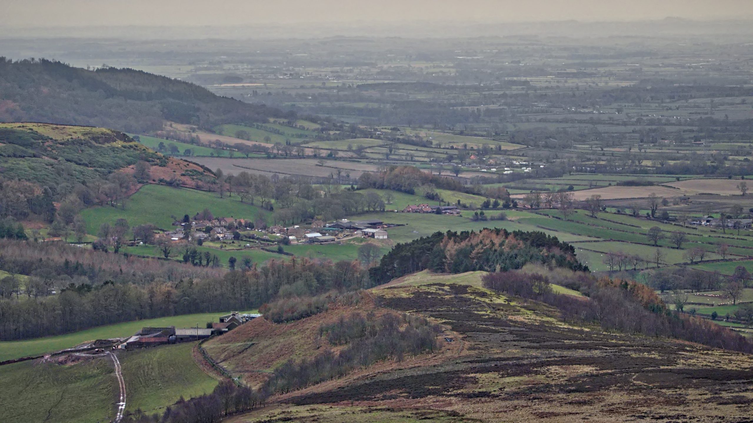
Mount Famine ridge
Looking back towards the village Hayfield in Derbyshire from the ominously named Mount Famine. The name is supposed to date from the late-18th to early-19th-century Enclosure Acts when local landowners agreed to parcel up the land between them including common land. Farmer who once provided services and a proportion of their produce to the Lord…
-
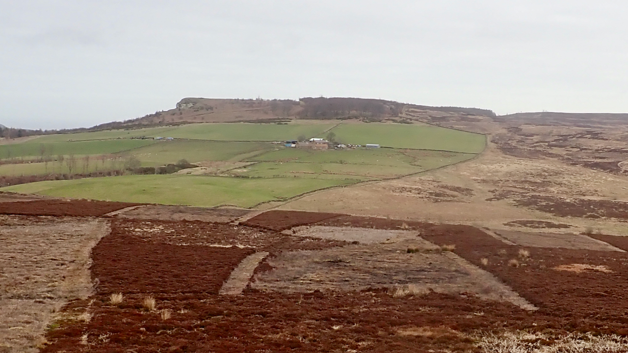
Potters Ridge
I have not taken a photo from this spot before. Honest. I moved a hundred metres south from Black Nab to be sure. I have often wondered how Potters Ridge got its name. That low 25 metre high prominence behind Highcliff Nab. I think I’ve found out. In 1806, Robert Chaloner, the Lord of the…
-
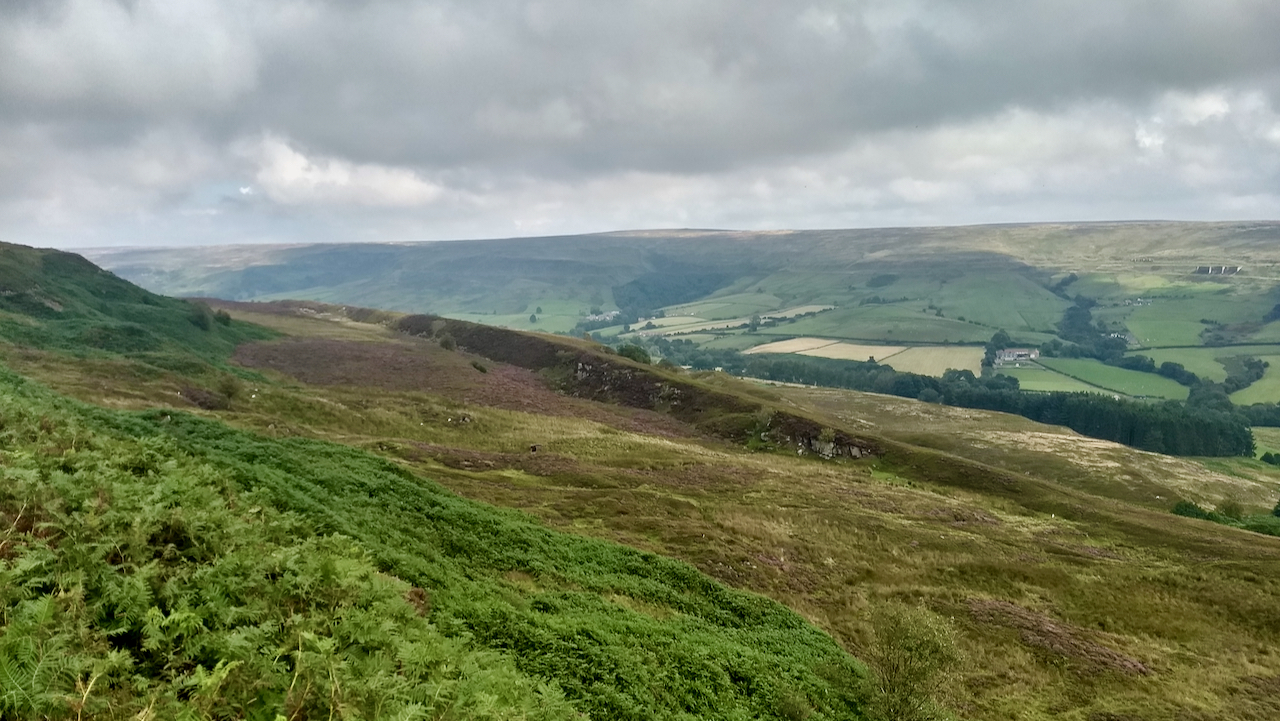
Rosedale west side
This feature on the west side of Rosedale below the old mineral railway has always intrigued me. A ridge, perhaps a kilometre long, running parallel to the slope. It’s such an obvious feature yet it seems to have gone unobserved, or at least unrecorded as far as I can tell. I was once asked if…
-
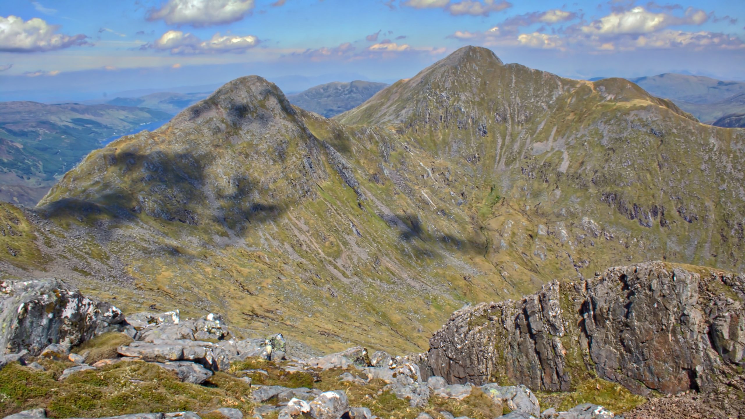
Sgùrr nan Carnach and Sgùrr Fhuaran from Sgùrr na Ciste Duibhe
The Five Sisters of Kintail, on the north side of Glen Shiel, is one of the classic ridge walks in Scotland. As you might have guessed, the Five Sisters refer to five peaks of which two are Munros: Sgùrr na Ciste Duibhe (The peak of the dark chest) 1027m Sgùrr na Càrnach (The rocky peak)…
-
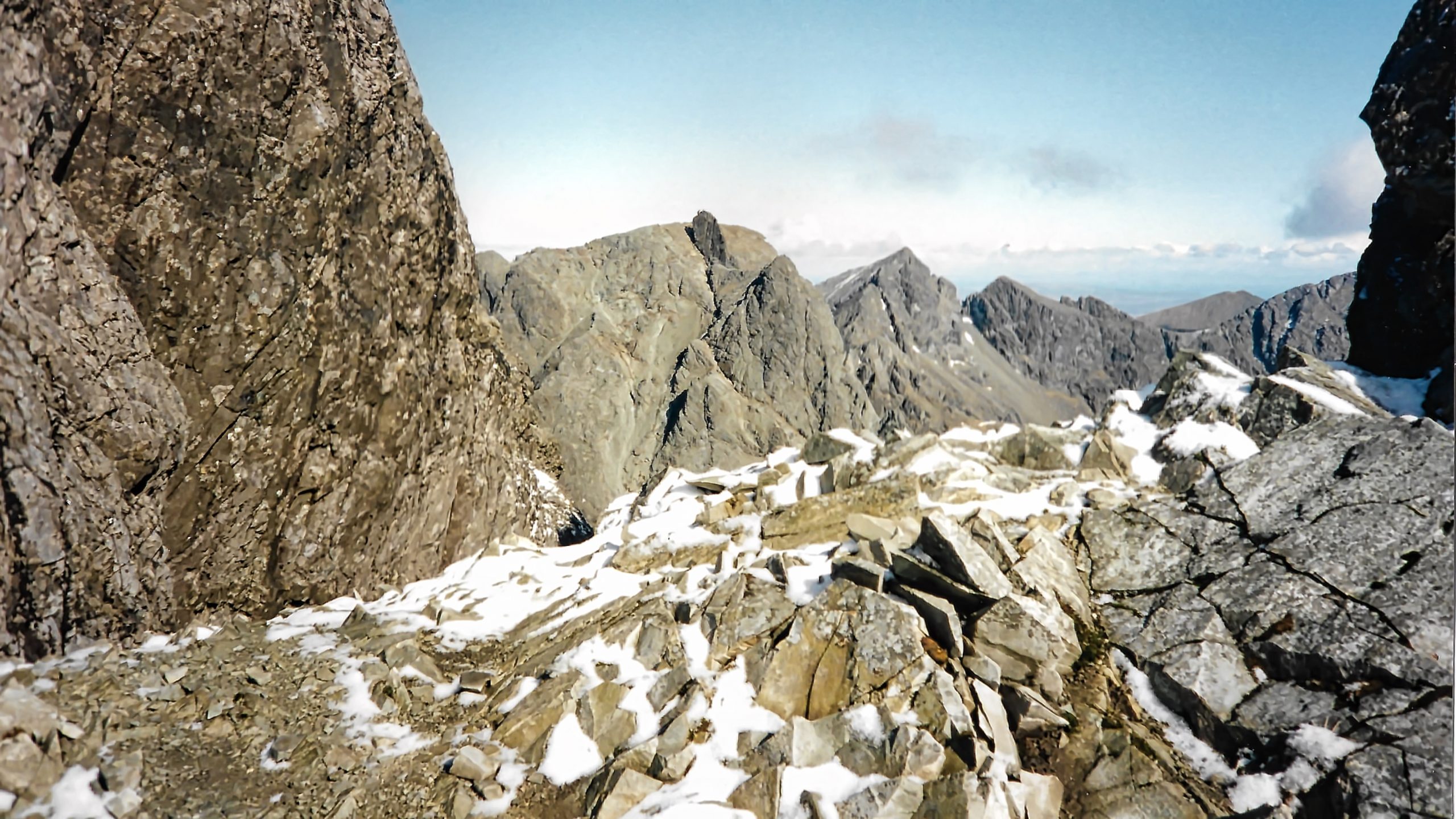
The Cuillin Ridge
The Black Cuillin Ridge is one of the classic mountain ridges in the United Kingdom, some say the only true mountain ridge. 14 km of rough igneous rocks, gabbro and basalt, with 11 Munros many requiring rocking climbs and abseiling. This image and the one below are scans of proper photographs taken on a traverse…
-
Nab Ridge, Kepwick
A walk from Osmotherley to Boltby along Hambleton Street, the old Drovers’ Road. A rather dull afternoon with failing light and a bit of drizzle. This is taken from the Drover’s Road looking down along Nab Ridge onto the village of Kepwick. Just beyond Kepwick and slightly to the right is Howe Hill, which, although…
-
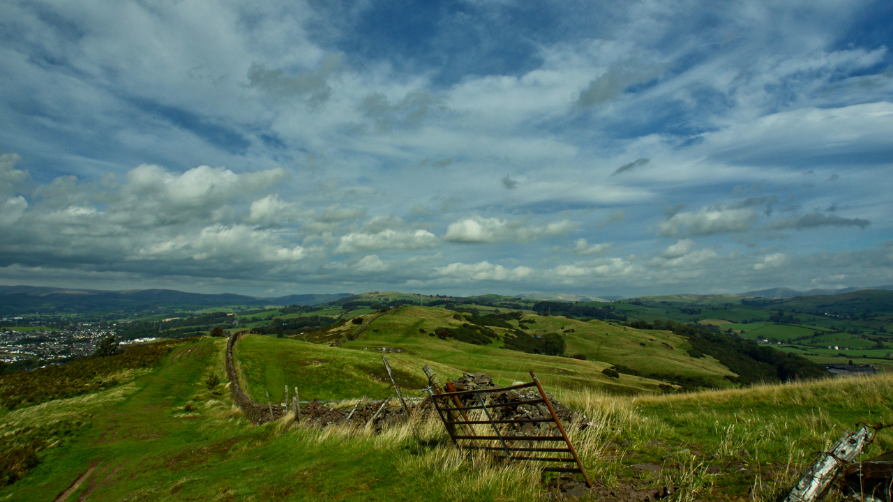
The Helm, Oxenholme
I have always thought of Oxenholme as just the railway station on the West Coast mainline with its junction to Windermere. In fact, it’s a small neat village of the outskirts of Kendal overlooked by a ridge of Open Access Land known as The Helm. I had a few hours to kill so I took…
-
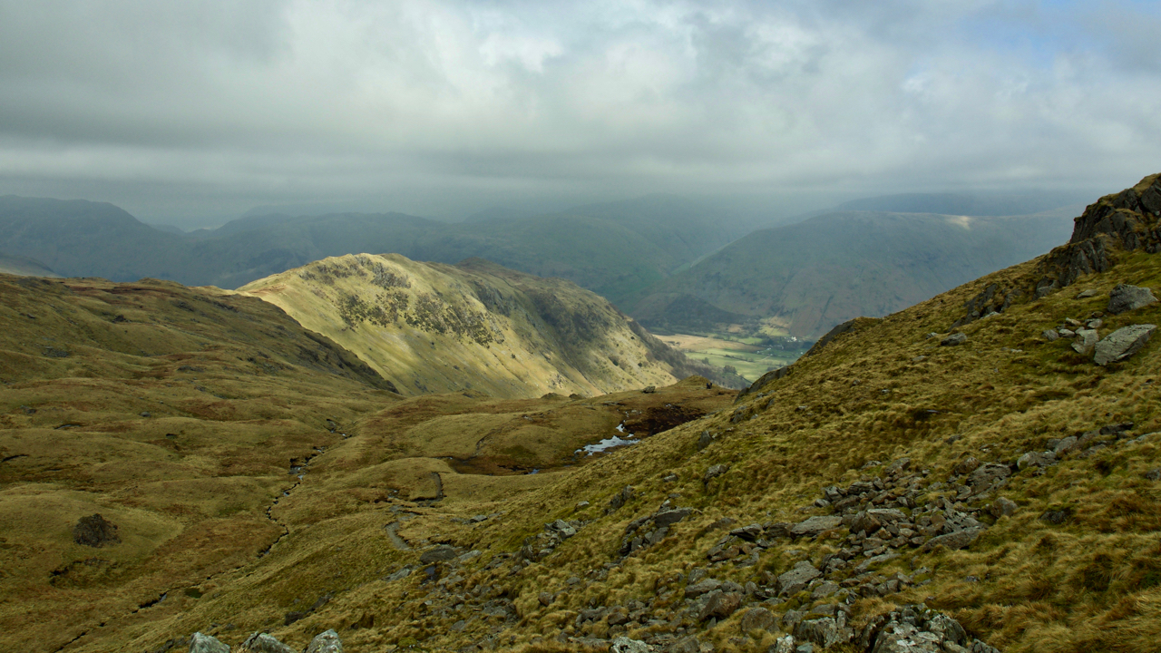
Hartsop above How
A rather gloomy start to the day but climbing below Dove Crag in the eastern Lake District there were signs of breaks in the cloud. This is looking back on the Hartsop above How ridge. By the time Fairfield was summited there were blue skies. Open Space Web-Map builder Code
-
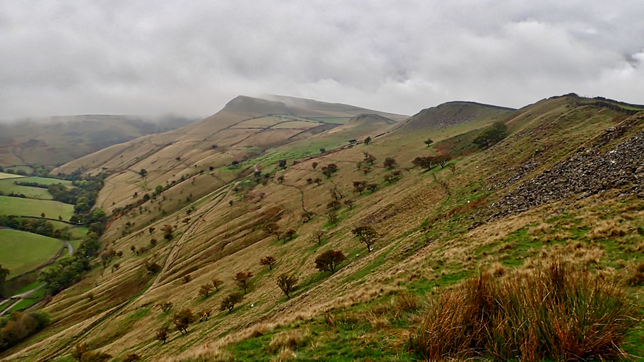
Mount Famine ridge
A pre-breakfast run with the dog. And overnight someone had opened a massive parasol of cloud. The blue skies of yesterday had gone along with any view of Kinder Scout. Mount Famine was familiar to me only as a race in the fell runners calendar. Too short to justify the journey south and too close…
-
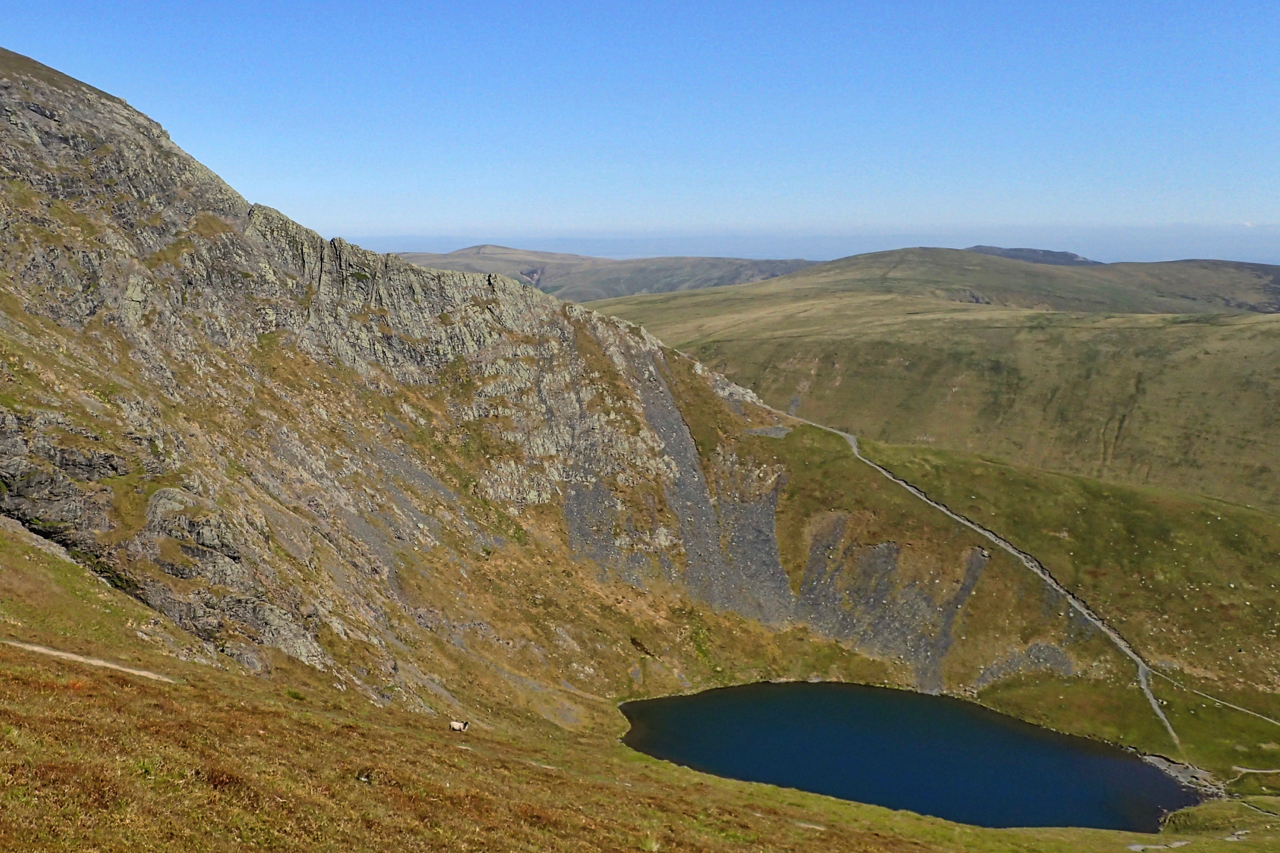
Sharp Edge
Perhaps the most notorious ridge in the Lake District, a Grade 1 scramble. Between 1947 and 2016 there have been 11 fatalities. I last climbed it on a misty, wet New Year’s Eve, 2007. The day before, although I didn’t know it at the time, someone had slipped and fell 100′. He was airlifted off…