Tag: guidestone
-
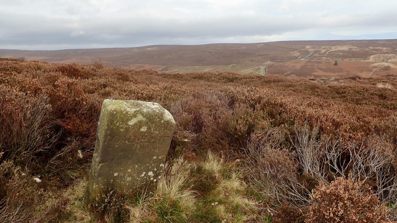
18th-Century Marker Stone
Very close to the ruined farmstead of Jane Frank Garth above Hob Hole and inscribed with ‘WESTERDALE ROAD・EAST‘. It’s located on Little Hograh Moor, about 350 metres from the Hob Hole to Westerdale Road and away from any modern footpaths, Tucked way in the heather. Jane Frank Garth is more locally known as ‘Gin Garth‘…
-
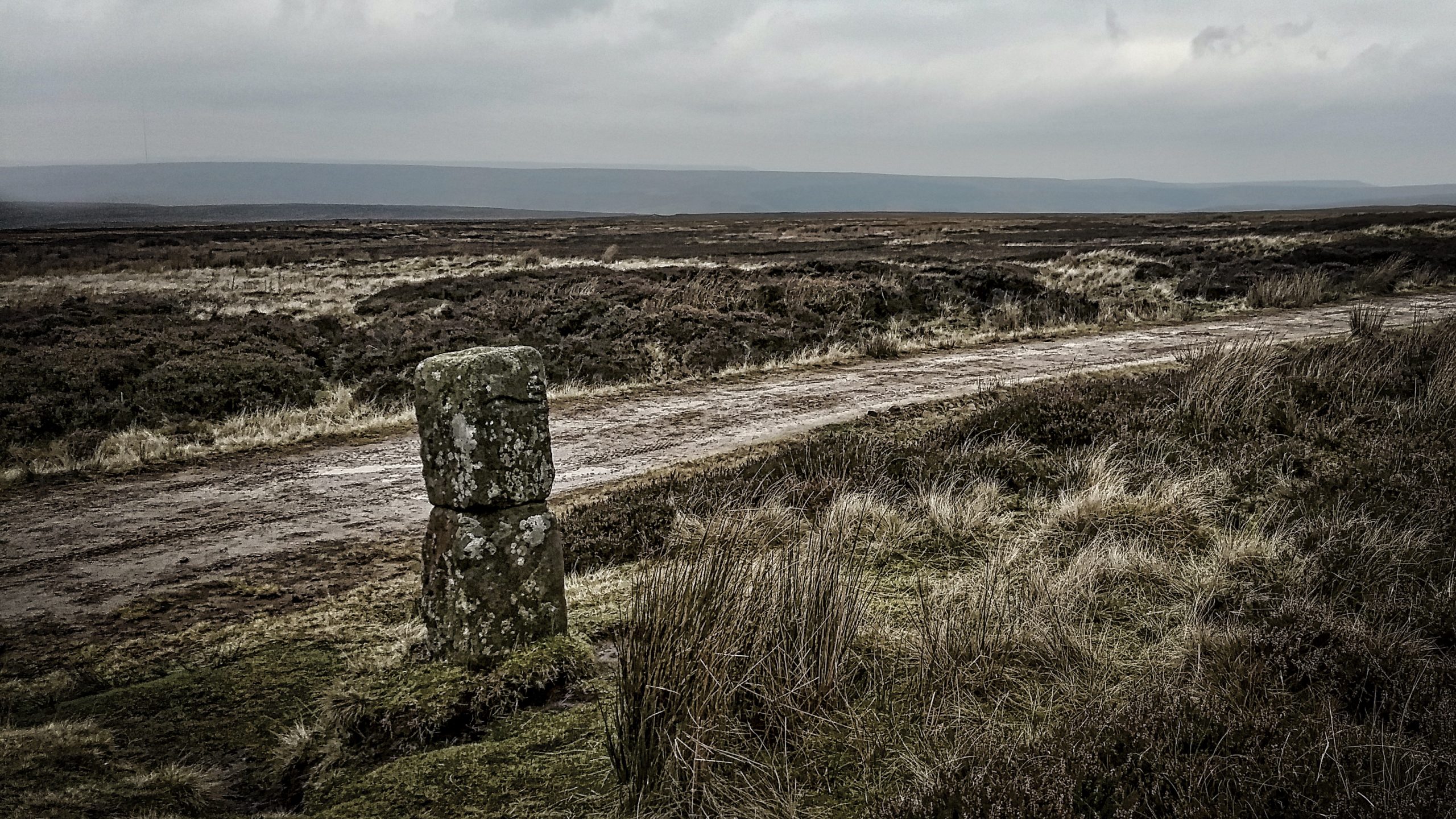
The Hand Stone on Urra Moor
Urra Moor has the highest point on the North York Moors. Fly east, keeping the same height and you won’t touch land again until the Ural Mountains. When an east wind blows this can be a bleak spot. The name ‘Urra’ probably comes from the old English ‘horh’ meaning phlegm or filth, perhaps an indication…
-
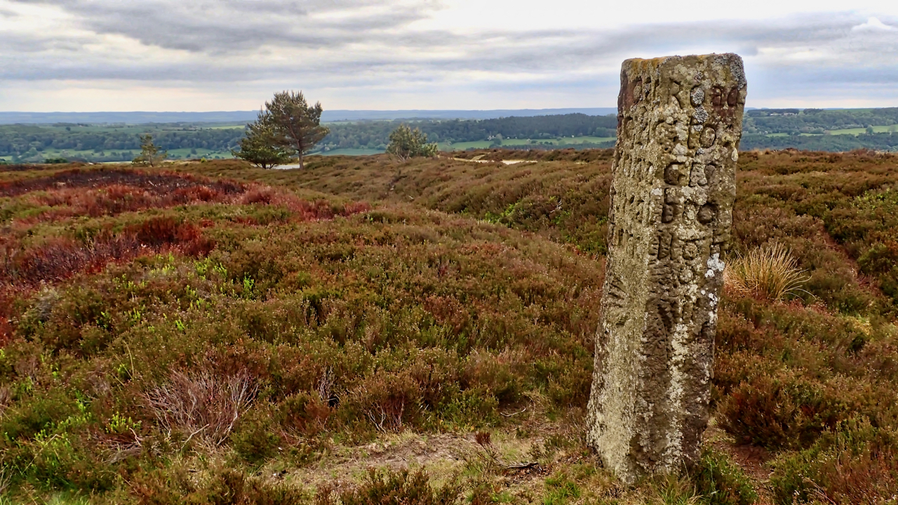
Waymarker, Blakey Ridge
An 18th-century guidestone, a short way off the Blakey Ridge road near Hutton-le-hole. The ditch is probably the old holloway, parallel to the modern tarmac, which is just visible between the two trees. Three faces are inscribed: The west face is obviously the “Road to Kirbymoorside”: RoAd: to:Kirb y:Moor side: The east face is a little…