Tag: Drovers’ Road
-
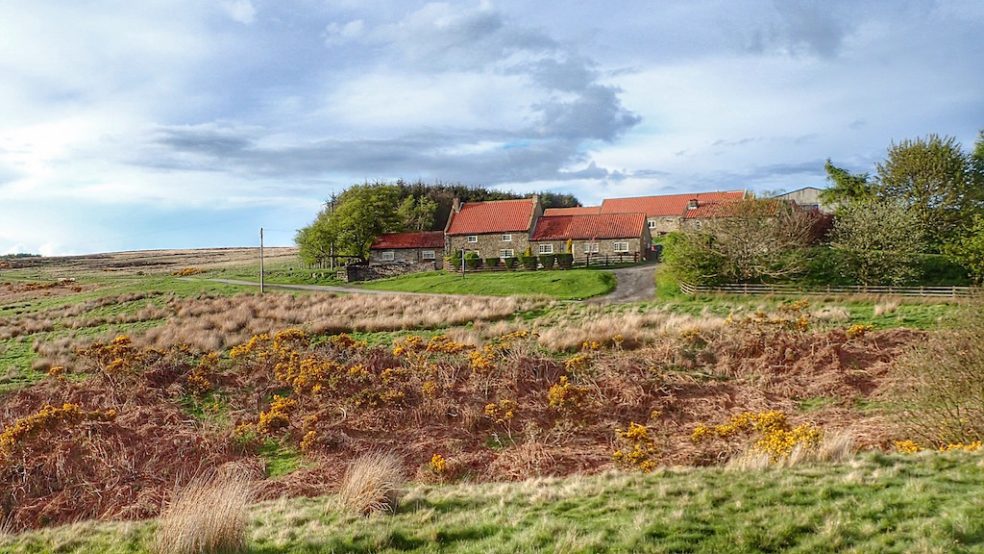
Ghosts on the Hambleton Road — Echoes of Drovers and a Lost Farmstead
High Mossy Grange, just off High Lane, that’s the local name for this section of Hambleton Road, an ancient route snaking from the southern reaches of England to bonny Scotland. Used to be a post-medieval farmstead, but now High Mossy Grange has all but been wiped off the map. What’s left is this patch of…
-
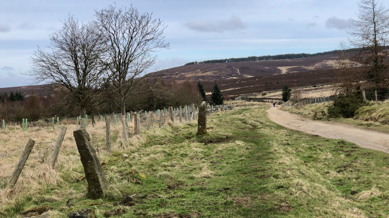
Hambleton Street
I find this track, between Sneck Yate with Square Corner, to be one of most tedious on the North York Moors. It follows the old drovers’ route between Scotland and the south of England. The term ‘street’ may suggest a Roman origin but although the Romans may well have used it (there have been Roman…
-
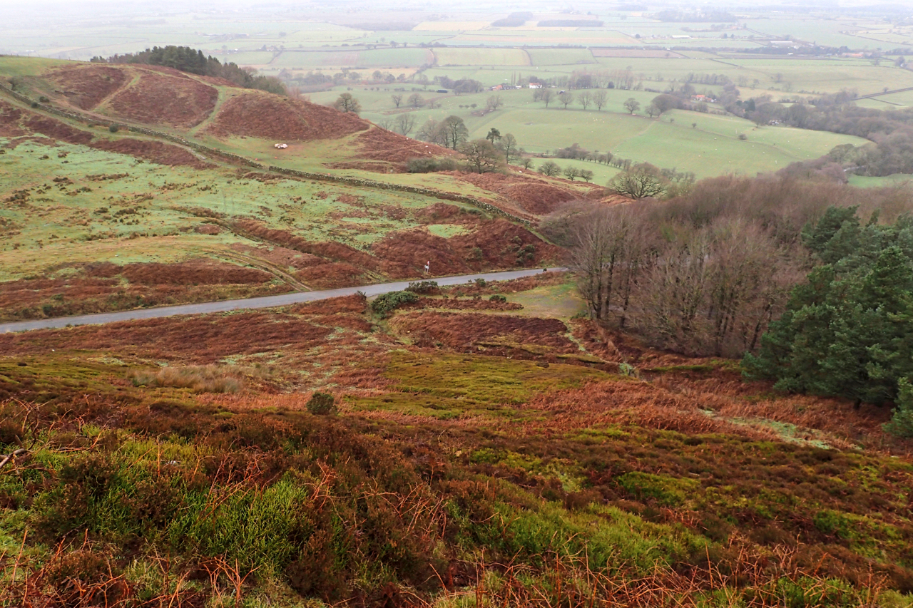
Scarth Nick
The road from Swainby to Osmotherly climbs Scarth Nick, a col on the escarpment of the Cleveland Hills. The name itself derives from the Old Norse ‘skarthi‘ meaning a notch or cleft. This view is looking down on the cleft from Whorlton Moor. The road is following a route dating from antiquity, following the old…
-
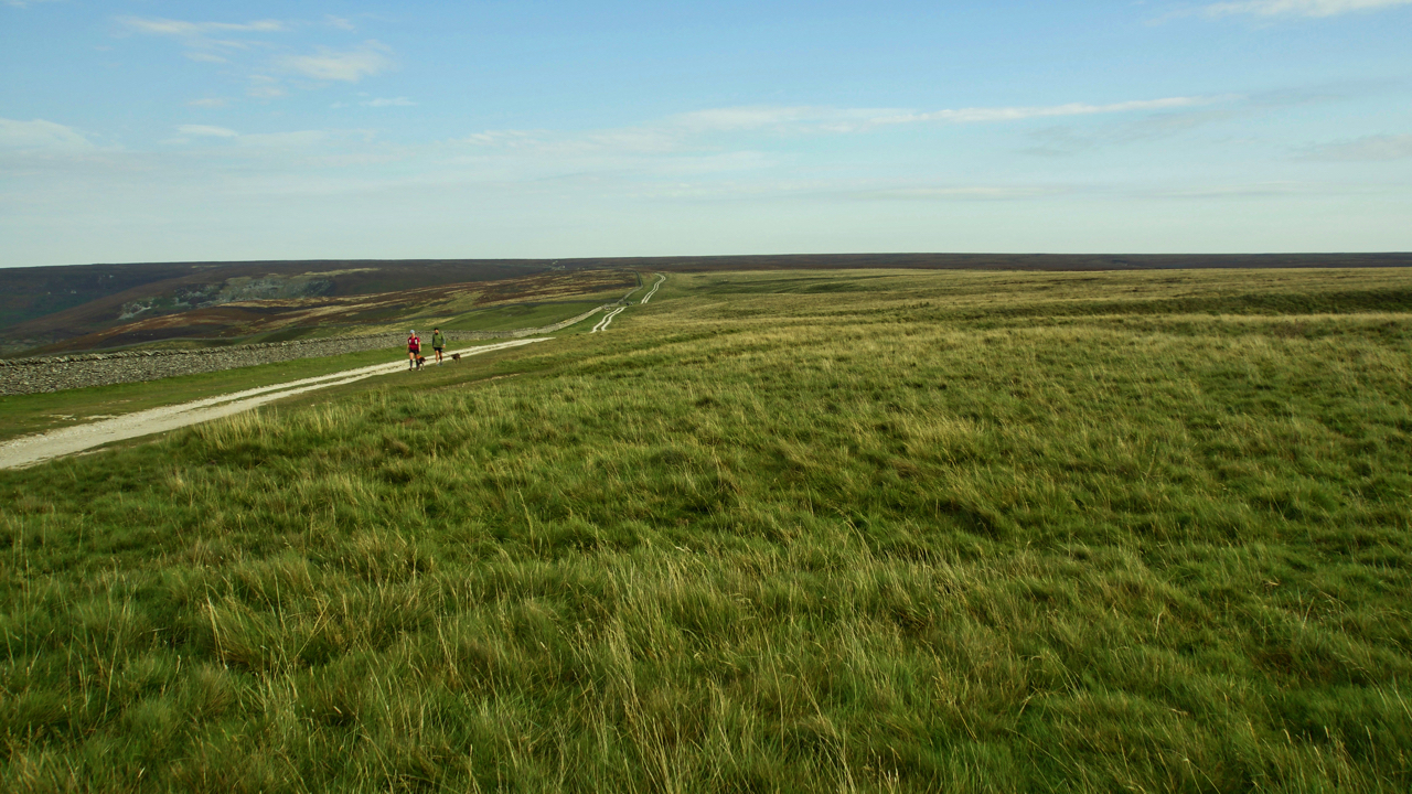
Hambleton Street
The ancient drovers’ route along the western edge of the North York Moors. A route that probably has been used since prehistory. The name “street” implies Roman usage and it’s mentioned by name in a document of 1577. Traffic peaked in the 17th and 18th centuries when herds of cattle were driven from Scotland to…
-
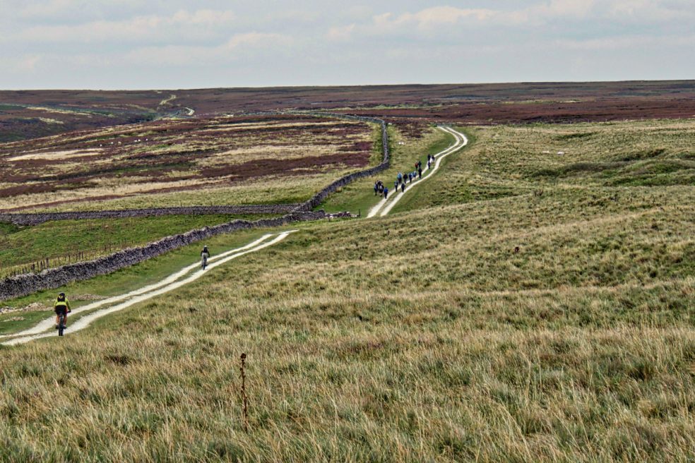
Chequers
A former inn on the Hambleton Street, an ancient drove road linking Scotland with the south of England. Ancient man generally stuck to high ridges where he could. Low level routes would have been boggy, wooded and less safe. Cattle would be driven from Scotland to markets at Malton and York. A various locations they would be rested…