Tag: dale
-
Jack Sledge Road
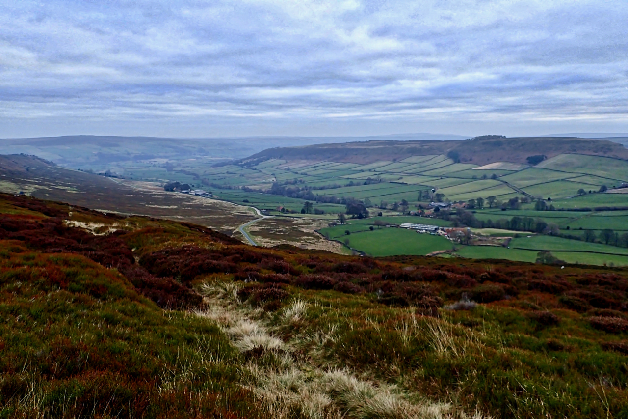
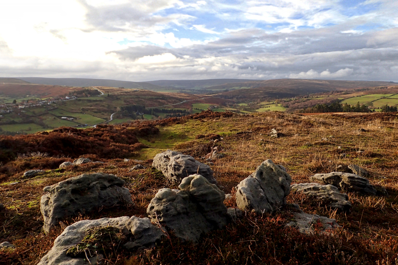
Ever get that feeling of lethargy during the dark winter months. It hit me today. Must have melatonin to spare. And a wee sniffle didn’t help. So a potter around Danby Rigg. This is the Jack Sledge Road as it descends into Little Fryup Dale. It must be an ancient track linking the dale with…
-
“By, yon’s a sooth-east, piner, aa’reet!”
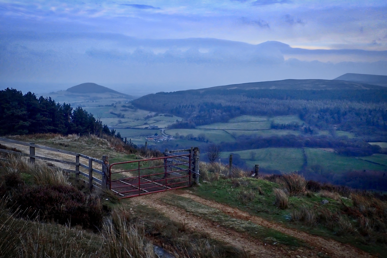
To be honest the weather today hasn’t been the most conducive for the taking of photographs. A raw, bitter wind which does not take the trouble to go around you, but pierces right through to your very bones. No matter my layers of Polartec, gloves and a hat of the finest merino wool. ‘A lazy…
-
Where’s Arthur?
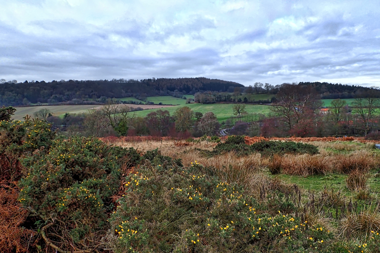
In July this year, for the first time since 2014, two hen harriers fledged from a nest in the Peak District. The two birds, one male and one female were both tagged by the RSPB. The male was given the name Arthur and his sister Octavia. Arthur hung around the Peak District for a few…
-
Glaisdale Side
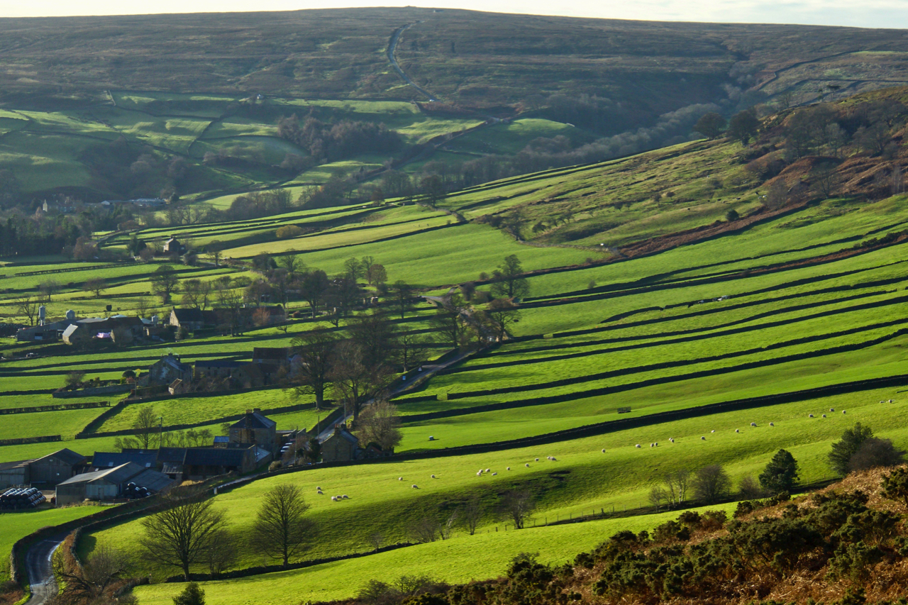
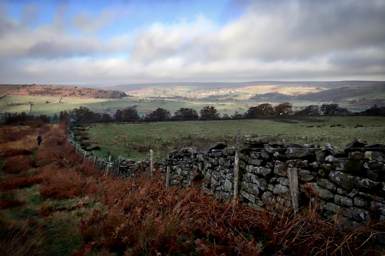
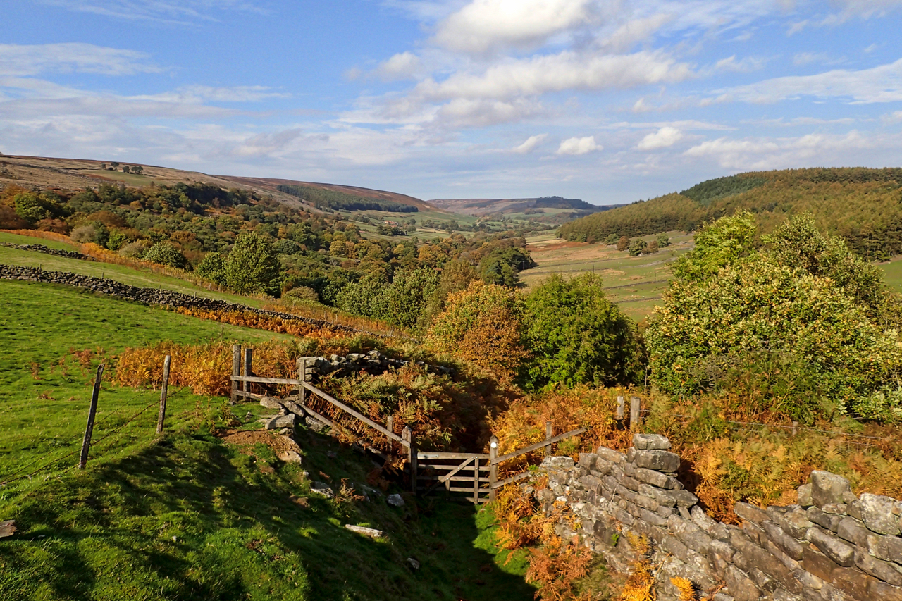
Glaisdale is one of the Moors’ less visited dales. About 5km in length, running north-east to south-west. A true rural idyll. But this has not always been so. There is evidence of Medieval bloomeries belonging to the Guisborough Priory and of collieries at the head of the dale. The construction of the railway along the…
-
Castleton and the Upper Esk Valley
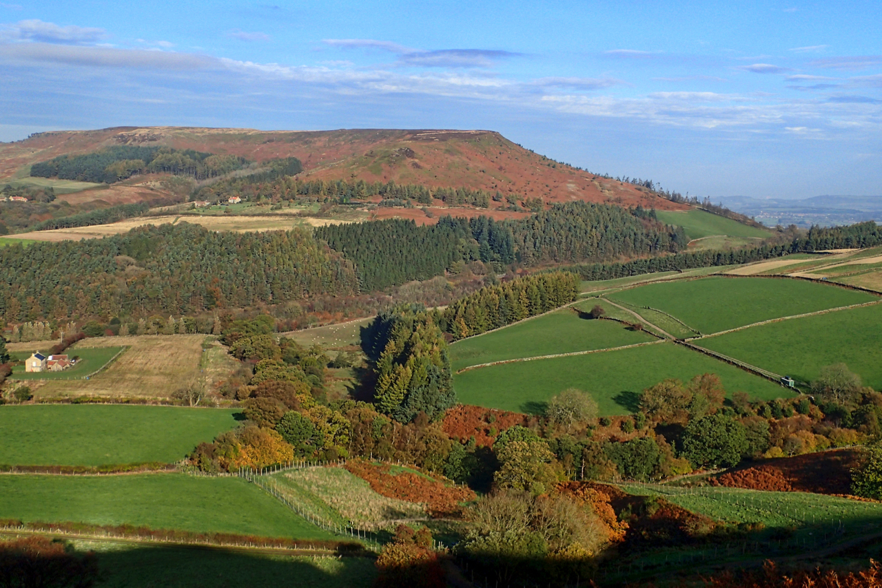
From Danby Low Moor, to the north of Castleton in the Esk valley. The ‘New Road’ to Westerdale is reflected in the morning sun contouring around Rigg End, the appropriately named north end of Castleton Rigg. The south-west tip of Castleton village is on the left, Perhaps somewhere in the photo lies the site of…
-
Sunshine over Danby
Over the Heads, heads in the clouds and Danby apricating far away. Open Space Web-Map builder Code
-
Head House, Arnsgill
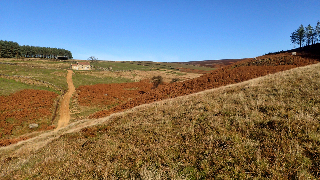
Once the third and highest farmstead in this long thin valley, over 2 miles from the Osmotherley to Hawnby road. Enclosed by the Scotgrave and Cow ridges the valley’s uncultivated fields somehow escaped Open Access designation so the only way to cross is by the Public Footpath along the track up to Head House. Public…
-
Rotten Scar
Last Sunday I posted a little question where was I when I took the photo. I thought the hill would be a giveaway but for once no one came close. Further back and a little bit higher on the edge of Urra Moor and Hasty Bank becomes more obvious. The valley is the top end…
-
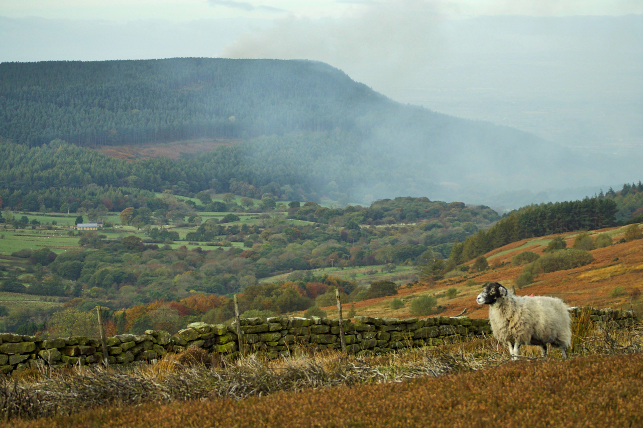
A moorjock on Barker’s Ridge
Grazing below Stony Wicks, a scrappy sandstone set of crags at the head of Scugdale, this moorland sheep is oblivious to the eerie sight of the morning fog creeping up the dale from the Vale of Cleveland. Colloquially known as Moorjocks, this sheep is probably a Swaledale, said to be one of the mountain breeds…
-
Stocking Crags Wood, Bransdale
A slow, misty drive over Rosedale Head. Past the Lion Inn, its solitary light pinpointing our position. Into lovely Stocking Crags Wood with its enrapturing colours and moss-covered boulders. Very autumnal. Cleaning up the bird boxes ready for next year’s tenants. Out with the old nest, just one tiny unhatched egg. And for the treecreepers…