Tag: heather
-
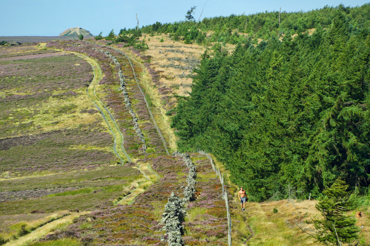
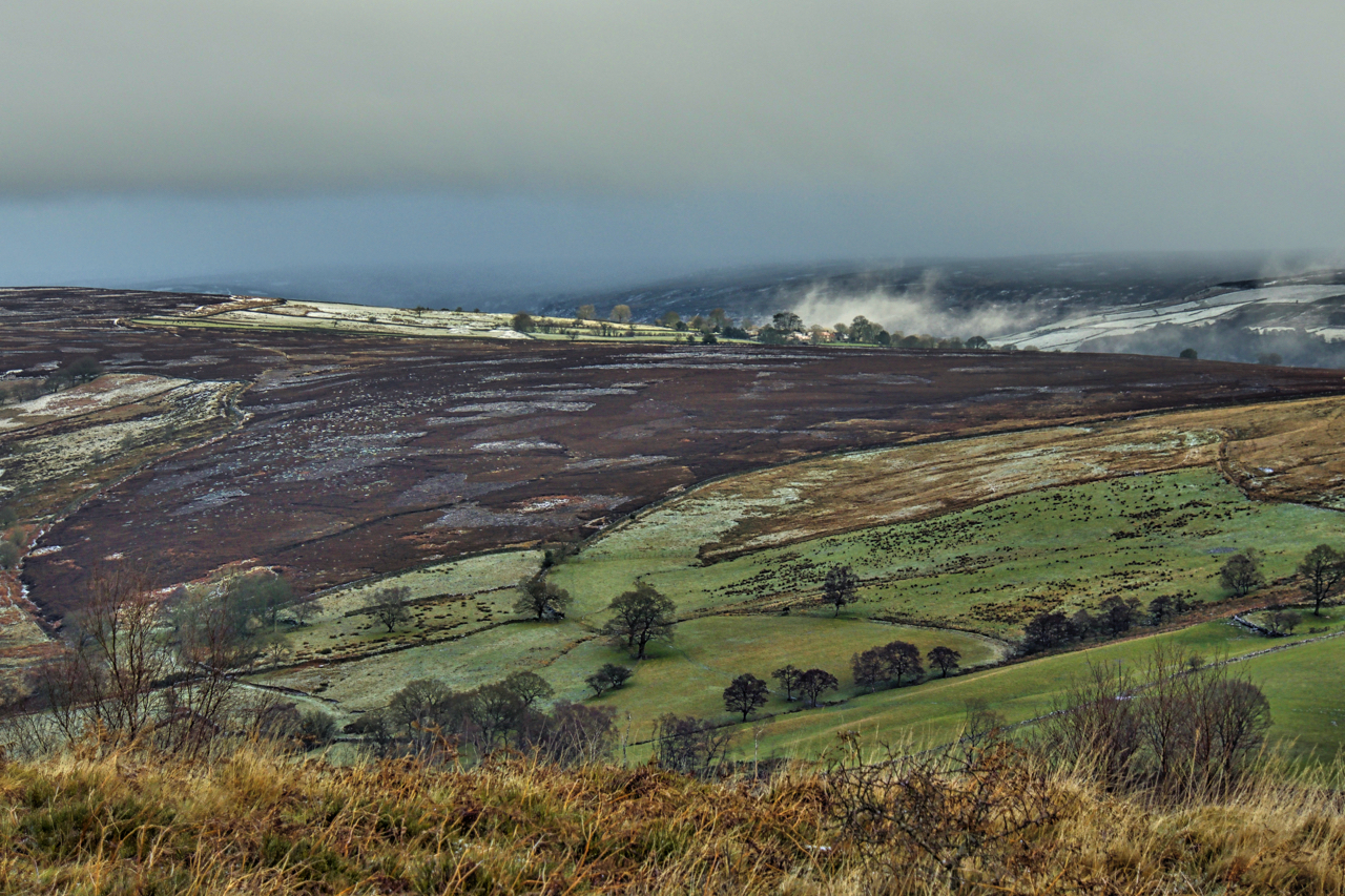
Highcliff Gate
It’s Yorkshire Day, a day when social media is full of memes saying “eeh by gum” and “ey up”. It seems appropriate then to have a photo of Yorkshire. A not too difficult a task and could be the within the old county of Yorkshire of course. This is Highcliff Gate, the low point between…
-
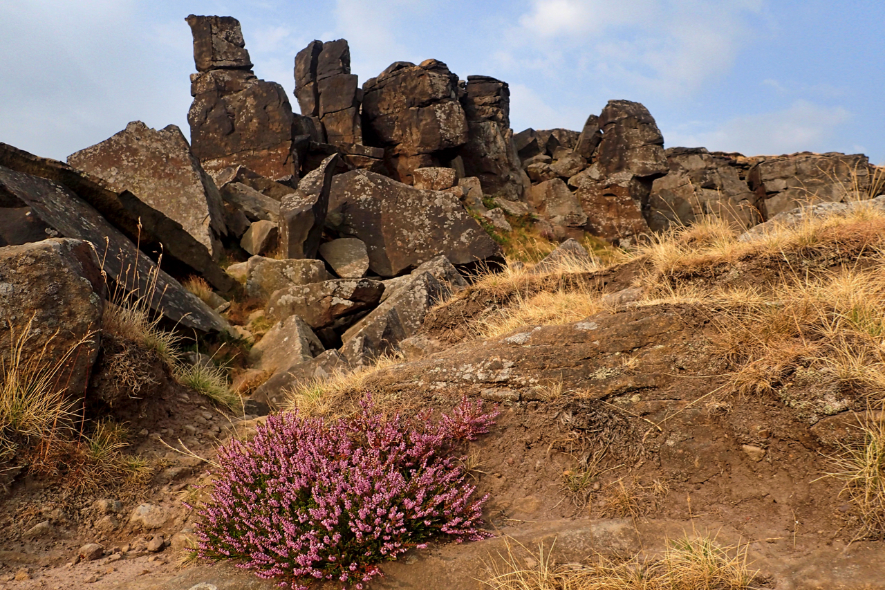
The Wainstones
Making the most of a break in the lightning and storms, a quick trip up to the Wainstones. Still very humid though. Nice to see the ling beginning to bloom. Open Space Web-Map builder Code
-
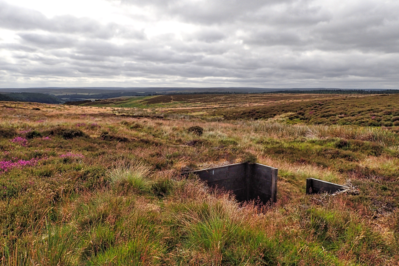
Shooting butt, Great Ayton Moor
As a 17-year-old, I played wing forward for my school rugby team. We were unassailable, the best in the county. Against one school I remember a 70+ point score. We took it in turns to score. Can such a one-sided game really be classed as a sport? A no lesser body as the United Nations…
-
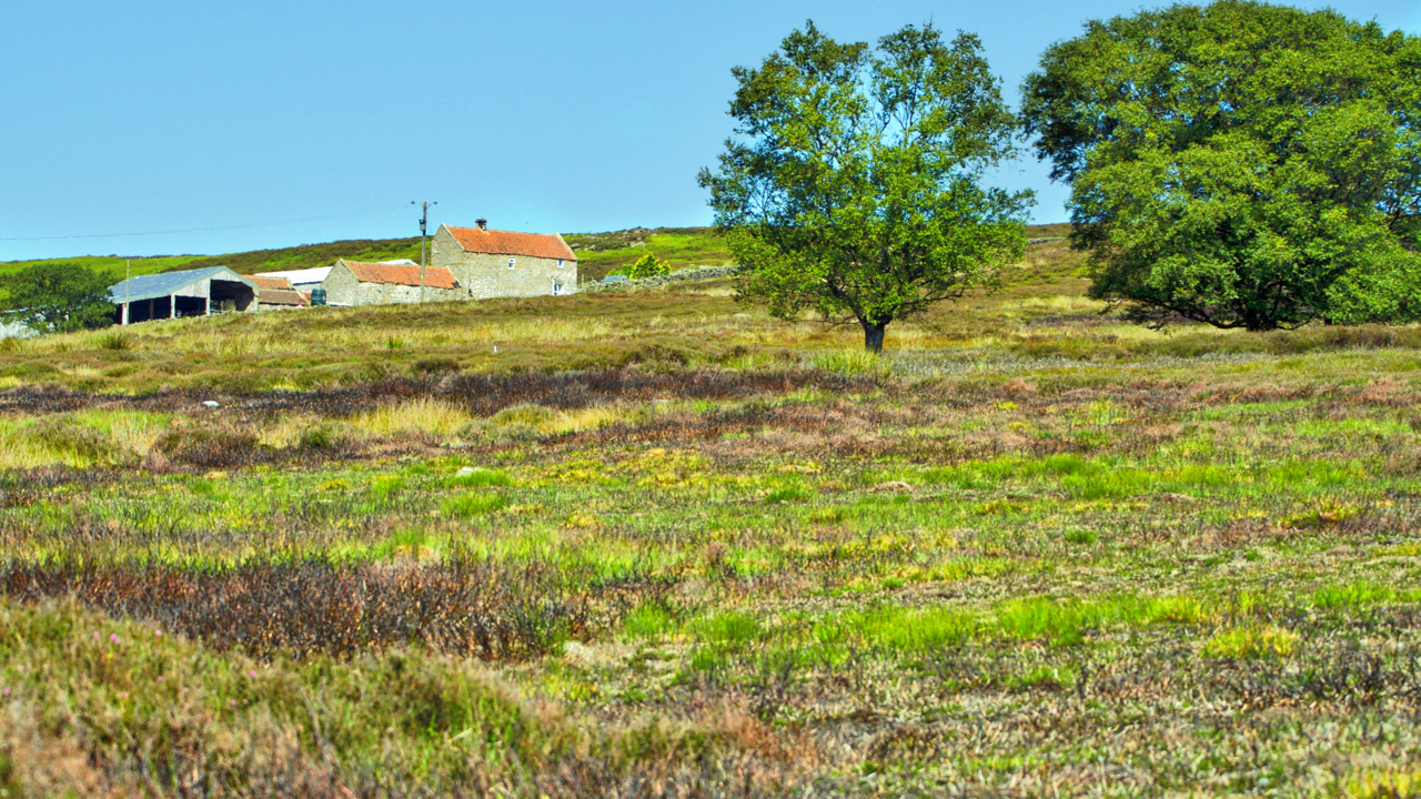
Haggaback Farm
This must be one of the highest farms on the moors. Haggaback Farm stands almost 800 feet above sea level on Commondale Moor. A bleak and exposed spot. Most farms are usually sited in the middle of their network of fields, to minimise distances travelled. Haggaback is strangely at the edge of the high moorland,…
-
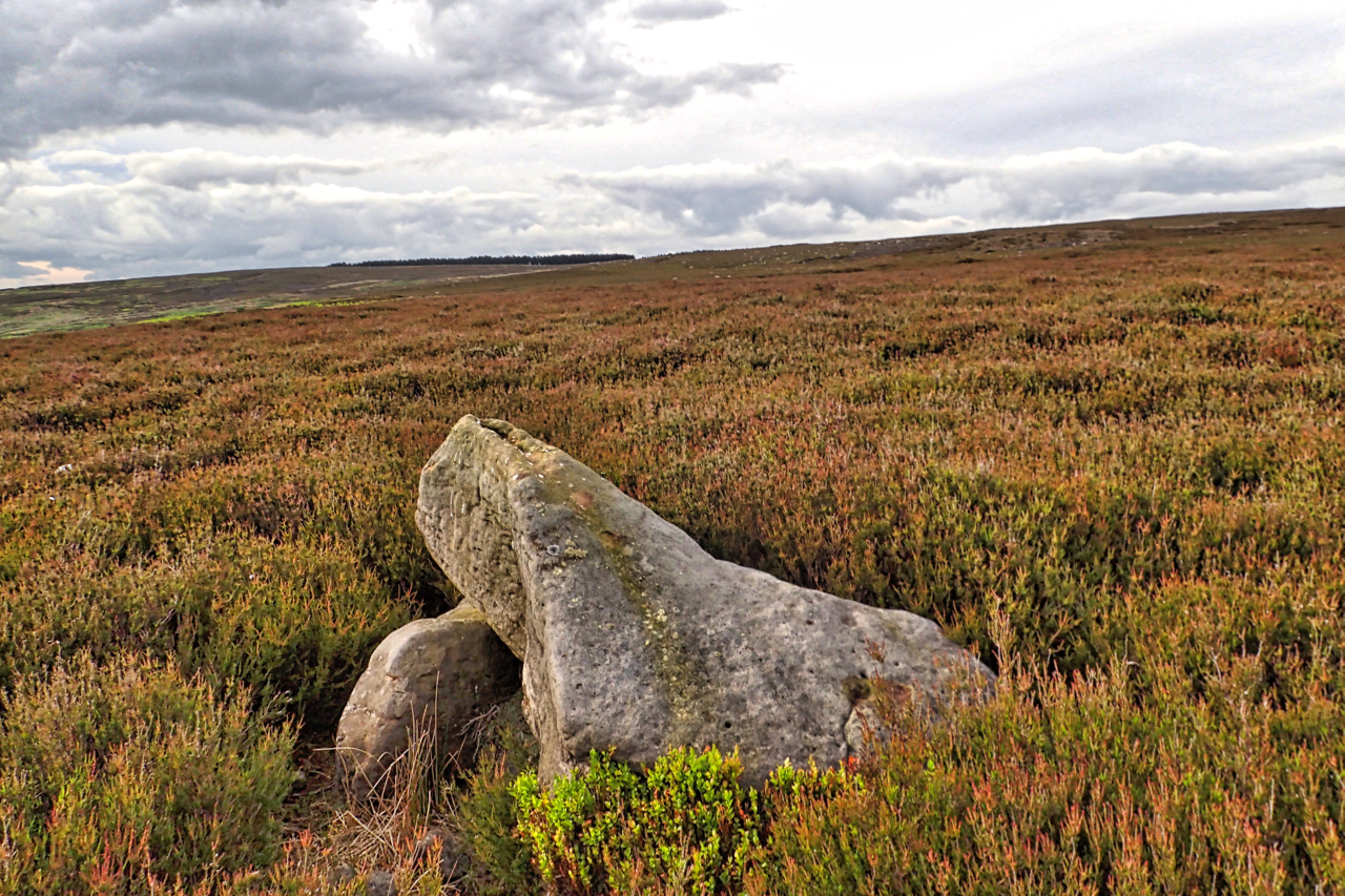
Pointer Stone
Pamperdale Moor seems to be randomly scattered with sandstone boulders of various shapes and sizes. In the middle of an area denoted as a Bronze Age field system on the OS map is a triangular stone propped up on another boulder. Apparently, it has a tapered cup mark on it, rock art. It has been…
-
Castleton Rigg
A visit to the seated man sculpture on Castleton Rigg overlooking Westerdale. Almost a year since I last came, just after it was erected. Still a monstrosity but proving very popular. Too popular. Parking is a concern and the route up is now widely bare of heather and vegetation making it susceptible to erosion. So…
-
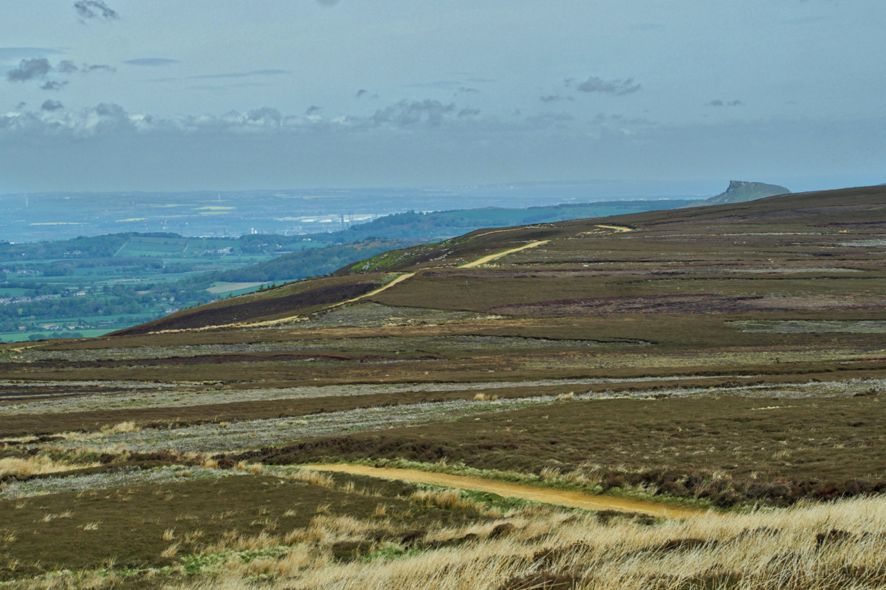
Ingleby Moor
On the Cleveland Way snaking across Ingleby Moor. The route follows the dusty tedious landrover track hugging the escarpment with Roseberry Topping never getting any closer. Cast your eyes away from the glorious views of the Tees Valley and every so often a gulley running parallel to the track might be discerned, evidence of Thurkilsti,…
-
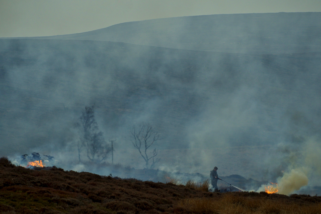
Nesting time on the moors again
They are still burning on the moors. Several people have commented to me that they did not think burning was allowed at this time of the year. Surely it is nesting time? Well yes, burning can still take place, until the 15th April, and yes, it is nesting time. The normal time that burning in…
-
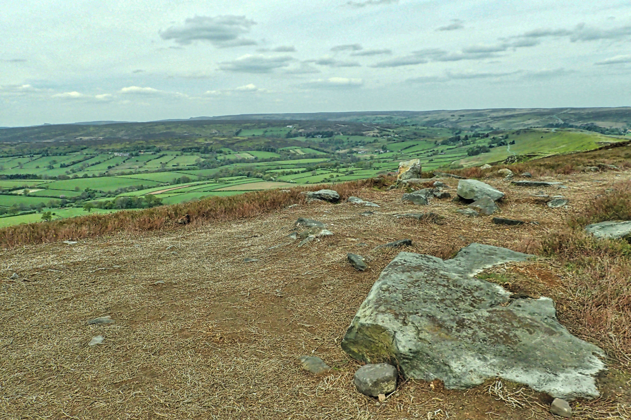
A view east from Hawnby Hill
Bilsdale Moor West. A beam of sunshine is shining on Wethercote Farm which must be one of the highest farms in the area. The land is recorded as belonging to Rievaulx Abbey around 1145 and contains quarries from which stone was used in the construction of the abbey. In the 18th century, coal was mined…
-
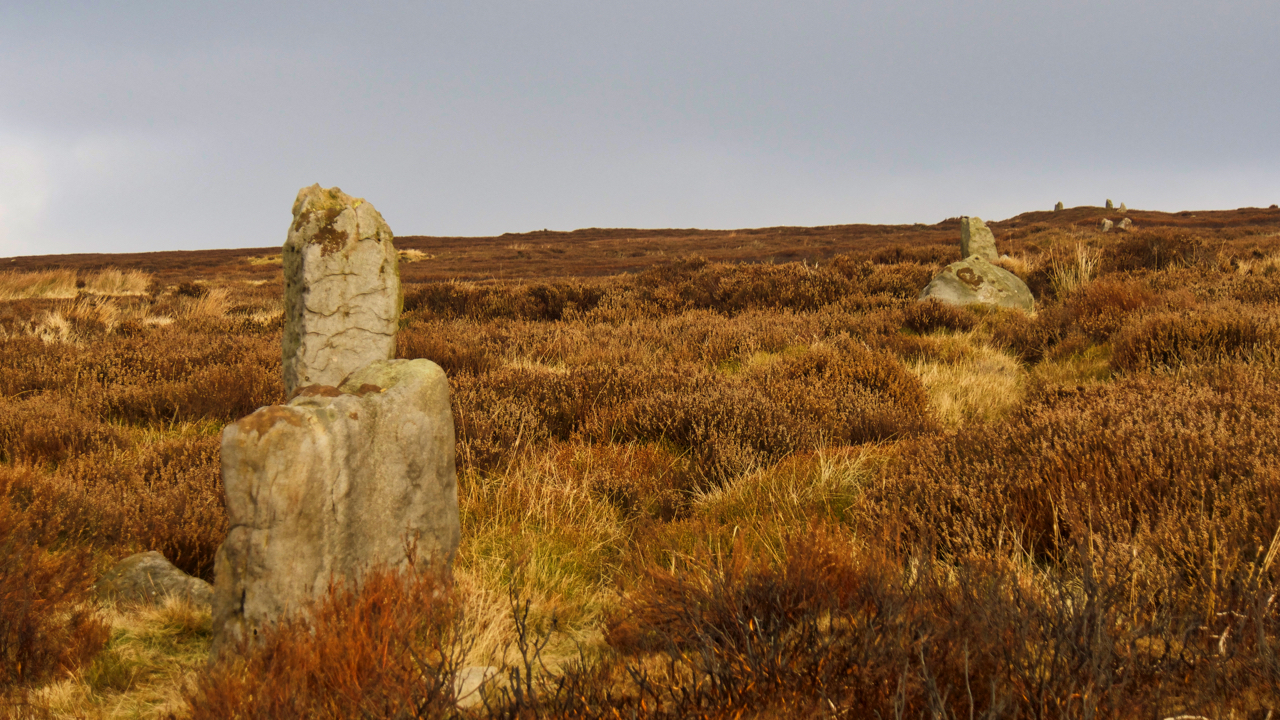
Hob on the Hill cross ridge dyke
The heather moorland between Commondale and Guisborough are among the quietest on the North York Moors yet it is rife with prehistoric remains, round burial barrows, ancient field systems and a cross ridge dyke marked by this alignment of standing stones. The dyke is a Middle Bronze Age earthwork, a little over 400m long and…