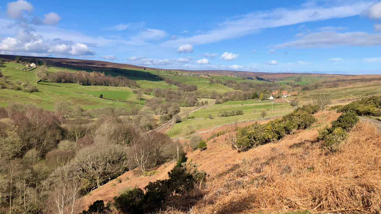
Category: North York Moors
-
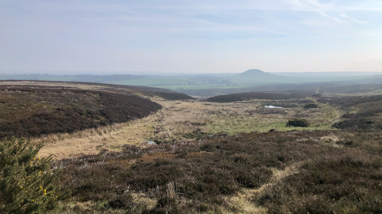
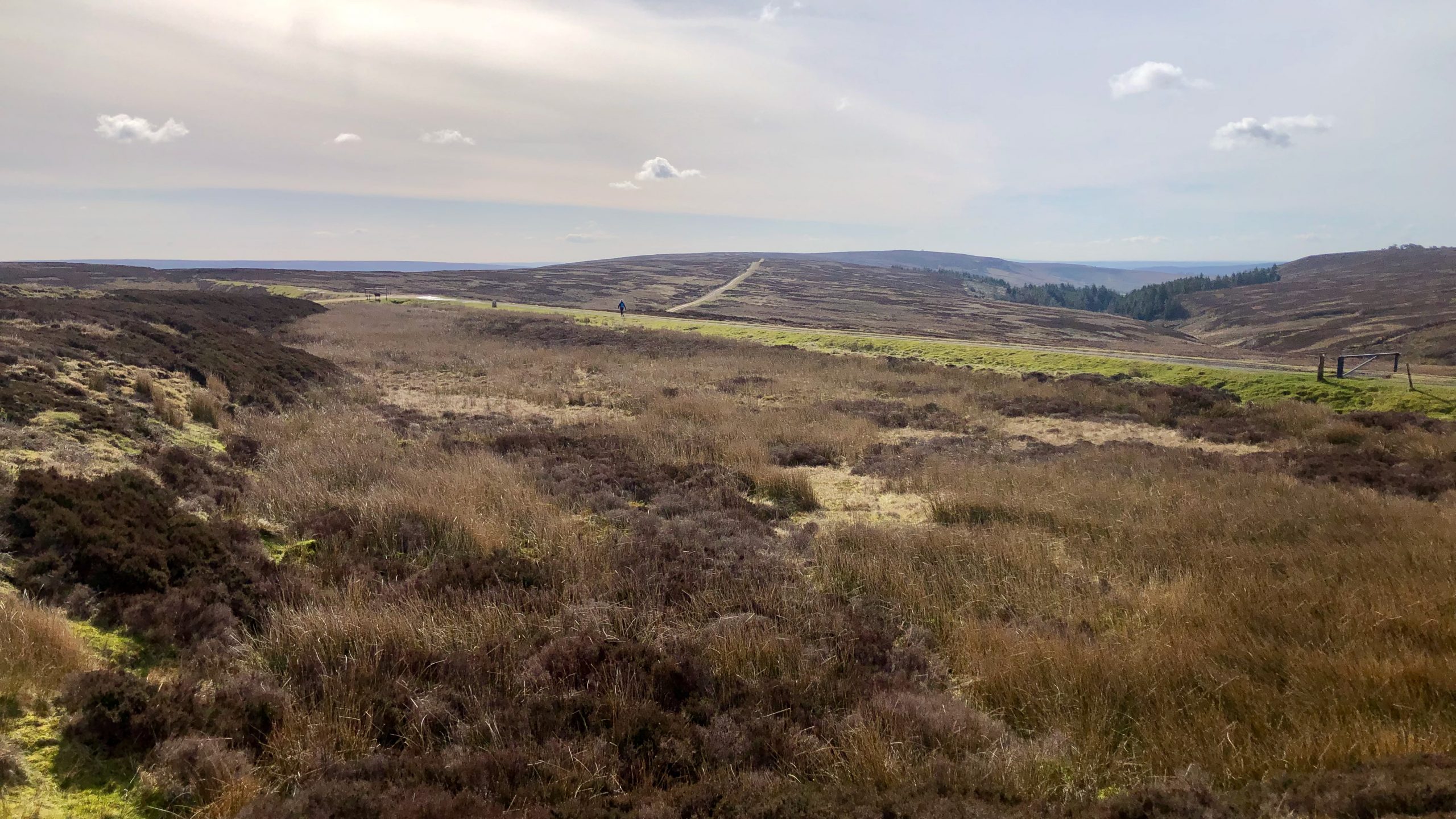
Swinsow Dale
Freebrough Hill dominates the view east on the climb up Smeathorns Road onto Moorsholm Moor. But the haze spoiled the view of Freya’s hill, so my interest turned to the small ‘dry valley’ of Swinsow Dale. Elgee calls Freebrough Hill a “roche moutonnée“, explaining that it was completely by the ice, which gave it its…
-
The lonely death of Christopher Hutchinson
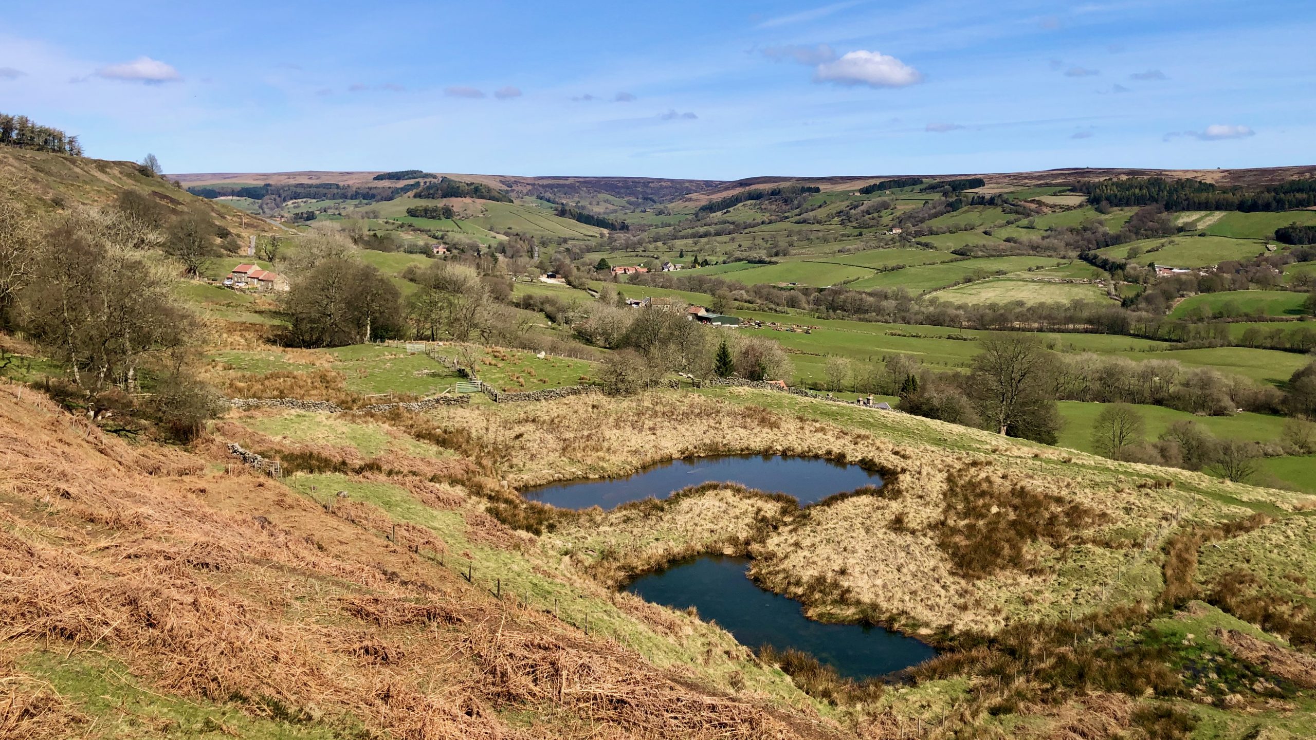
A farm with a strange name, Stingamires. Named after the gill beyond. But what came first, the farm or the gill? The farmhouse and attached outbuilding are Grade II Listed. The farmhouse was built in the 17th-century as a thatched longhouse typical of the North York Moors and containing a full cruck truss. A year…
-
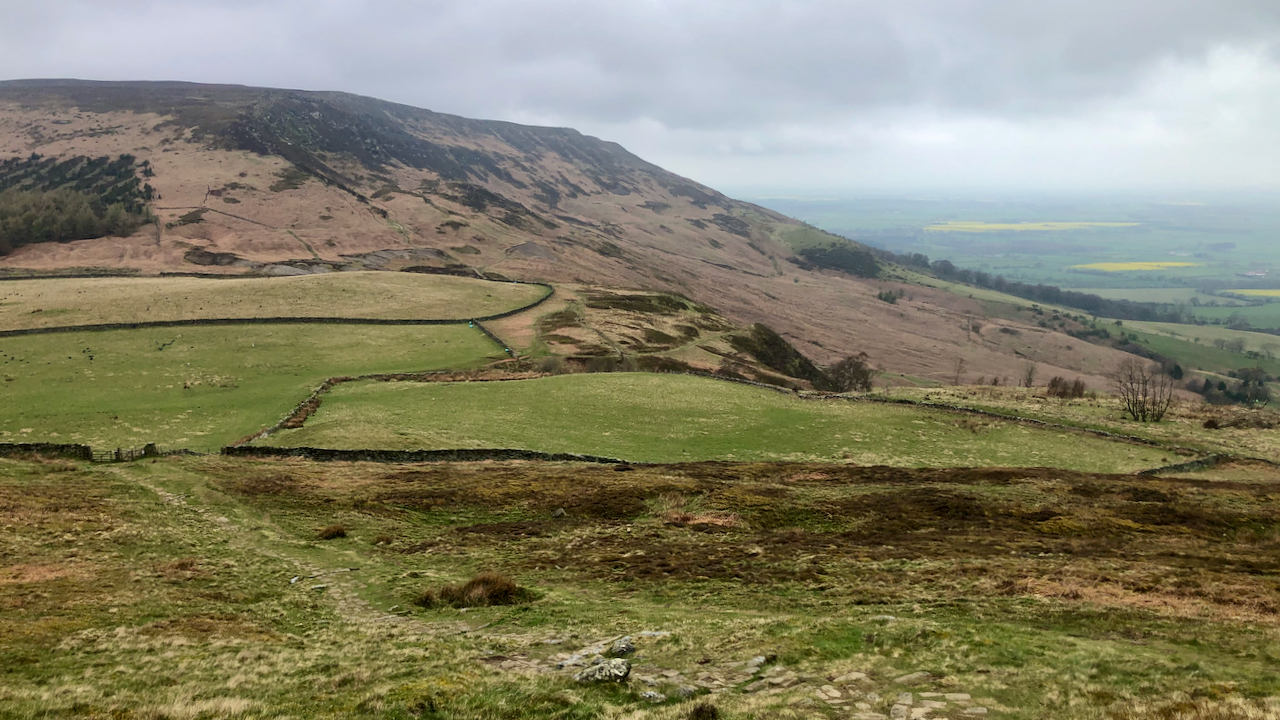
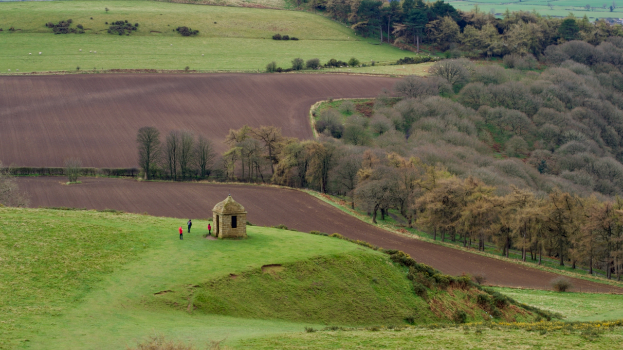
Kirby Bank — a battleground between a David and a Goliath
In 1854 there was a legal dispute over the boundary between Bilsdale and Kirby which has been decribed as a ‘David and Goliath’ legal battle. The plaintiff (he who brought the case) was the rich and influential Lord Feversham, Lord of the Manor of Bilsdale. The defendant was James Emerson who was described in the…
-
Rosedale & Lastingham Light Railway
In 1896, the Light Railways Act 1896 was enacted which allowed new ‘light railways’ to be expediently built, principally in rural areas. A light railway was “one constructed with lighter rails and structures, running at a slower speed, with poorer accommodation for passengers and less facility for freight”, and working “with less stringent standards of…
-
Bloworth Crossing
Or Blawith, as I’ve seen it written. Or Blowith. Many names, but a well-known feature on several long-distance path over the moors. Where the Rosedale mineral railway crossed the ancient track along Rudland Rigg, a track which, in 1934. Alec E. F. Wright described as a “grass road” and “exhilarating”. In the 21st-century, the Rudland…
-
Commondale Bleach Mill
Another item on my bucket list ticked off. Commondale Beck is barely two miles long from its start at the meeting of Sleddale and Ravengill Becks to its confluence with the River Esk, although its meanderings might push it over this distance. About 175 metres from Commondale Railway Station on the west Guisborough parish side…
-
In search of three wells
There are many named features of the old Ordnance Survey maps which names no longer appear on the modern versions. I feel they must have been significant for the local farmers, gamekeepers and land agents to mention them when those early surveyors came knocking. I decided to check out three wells today on Scarth Wood…
-
Live Moor promontory fort
A small Bronze Age fort on the north-west corner of Live Moor, more often called Knolls End. Within spitting distance of the Cleveland Way and Coast to Coast footpaths but no Information Boards adorn the site. It was only “discovered” in 1979 so there have been no excavations done. But … … there are sure…
-
In search of Regency Graffiti
I came across a letter the other day in the Yorkshire Gazette dated 1st December 1821. There are some words which were frustratingly unreadable because of the binding — I’ve included these as [?]: Sir, — As your columns are often [with] classical notices, it cannot be doubted that [you will] readily admit the following…
-
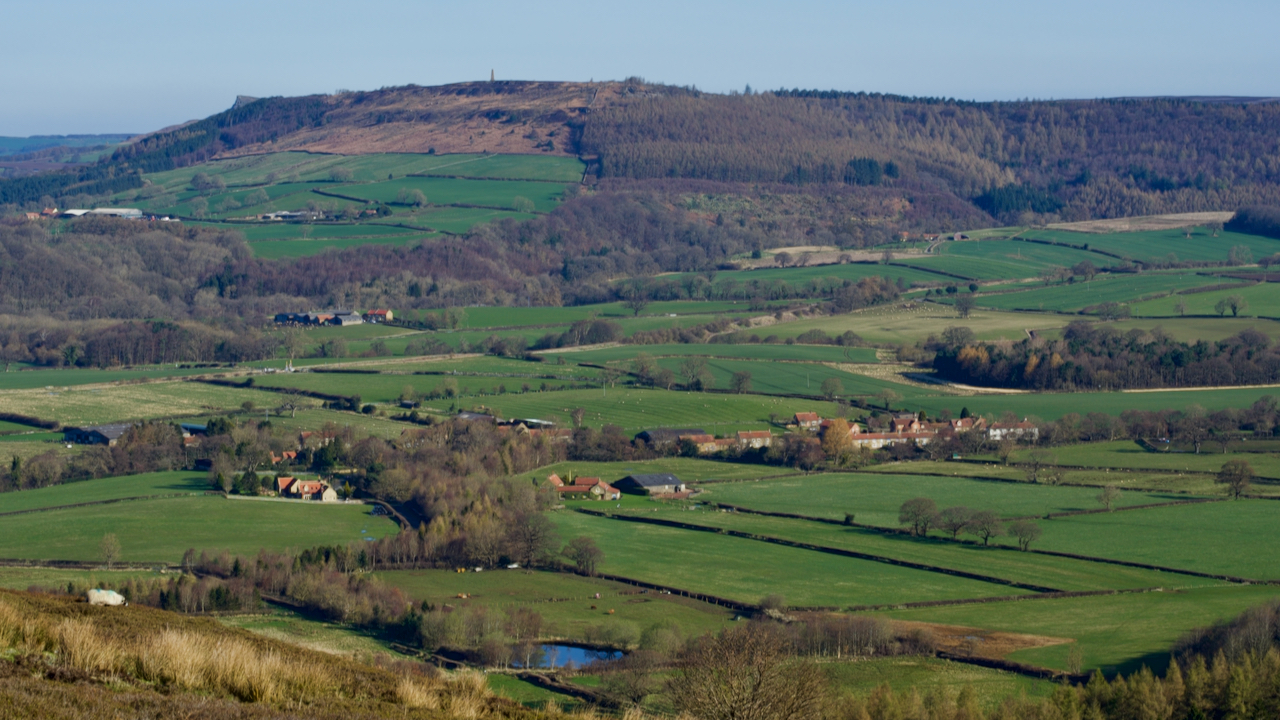
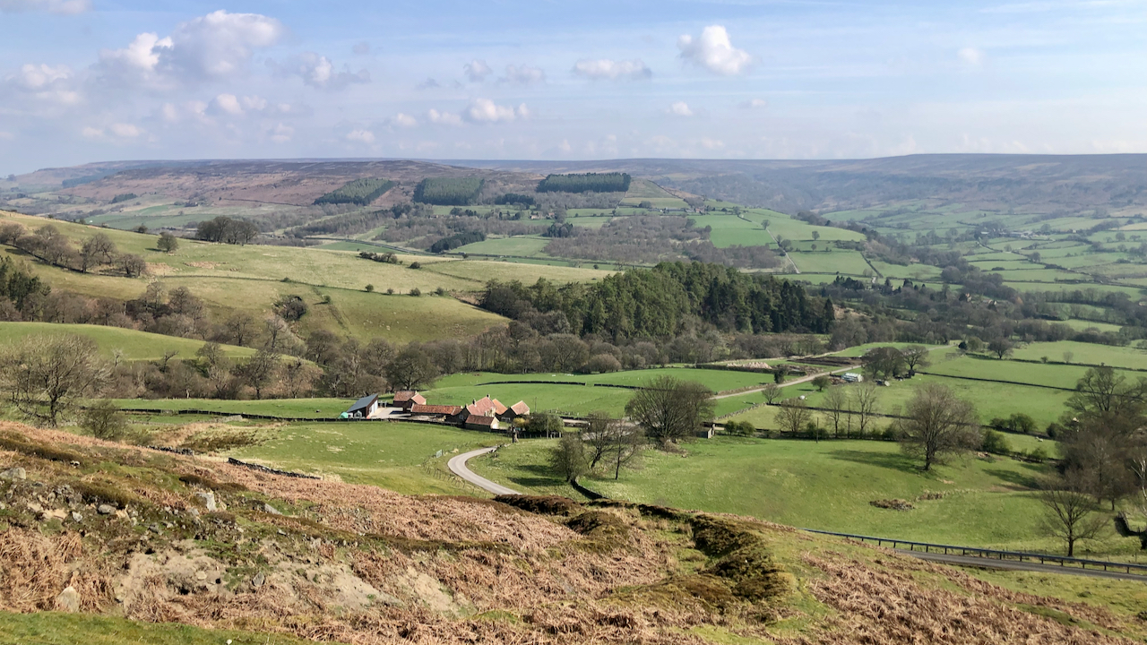
Battersby
Battersby is a township of the parish of Ingleby Greenhow. It’s recorded as ‘Badresbi‘ in the Domesday Survey with eight households being noted as liable for tax in 1301.. The pond in the foreground is the obvious visible evidence of tile and brick works which is indicated on the 1853 Ordnance Survey map. Battersby was once…