-
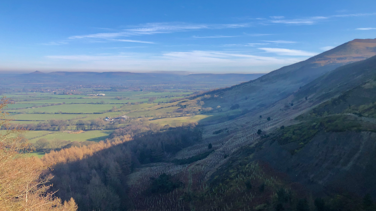
Black Hambleton
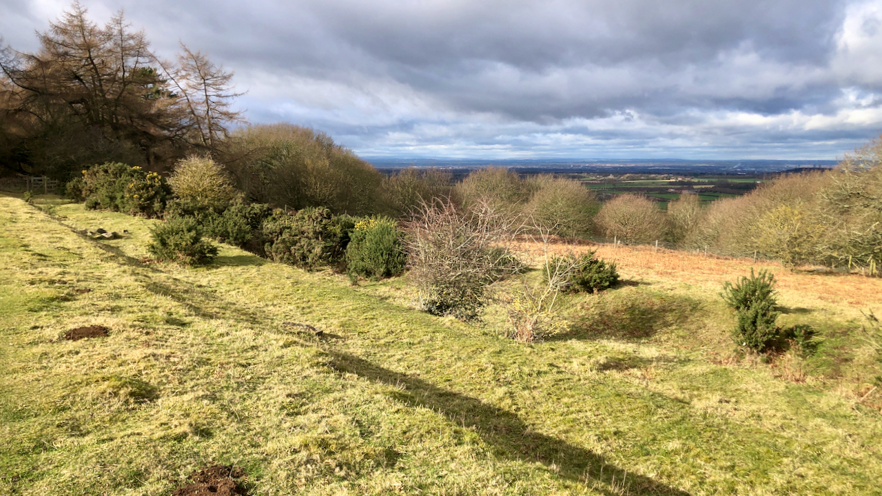
The glooming mass of the flat-topped Black Hambleton, the northern end of the calcareous Tabular Hills that range from Roulston Scar in the south. Climbing up to its right is Hambleton Street, part of the drover’s road that once extended from Scotland along which cattle were driven to be sold at the markets of York,…
-
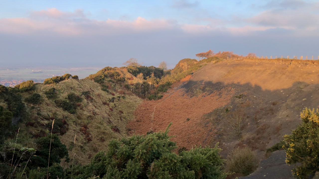
Odin’s necklace
Deep shadows from the winter sunshine emphasise the contour features on the northern face of Roseberry. There are three lines of pits. One follows the 200m contour above Cockle Scar, I’ve posted about these before. Their origins remain unclear, from a supposed British settlement by Victorian antiquarians to military, defensive or ritual. Next up, at…
-
Lonsdale with its confluence with Kildale
We are all familiar with War Memorials in villages and towns throughout the country that record the fallen, yet anything written about the soldiers who served is largely restricted to family histories. Kildale was a sparse community but many families had someone serving abroad. On 18 February 1916, the Whitby Gazette carried a list of…
-
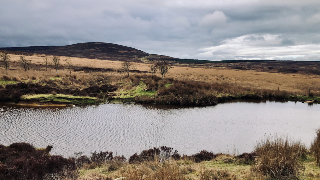
Sandwith Slack
Or is it Ewe Crag Slack? Where the watershed lies between the two slacks is not obvious. For almost a kilometre the broad depression that crosses the North Cleveland watershed at 236m. asl. on Danby Low Moor, cuts no contour line. To the north it drains into Sandwith Slack then into Haw Beck and the…
-
Roseberry Mine Tramway
What a difference when the sun comes out. An otherwise dull walk around a regular route of mine taking in Capt. Cook’s Monument and Roseberry, although I avoided the summits as it’s the weekend. And crossing the field at the top of Thief Lane, brilliant sunshine. To my right, Roseberry was still in dark shadow…
-
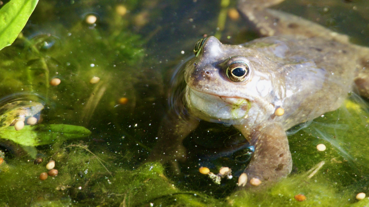
The frogs have woken up
About five days earlier than last year. Yesterday, there were none, today about fifteen. At the peak last year there were about forty frogs. Perhaps these were those that spent the winter in a state of torpor in the mud at the bottom of our little pond. Getting a head start on those that made…
-
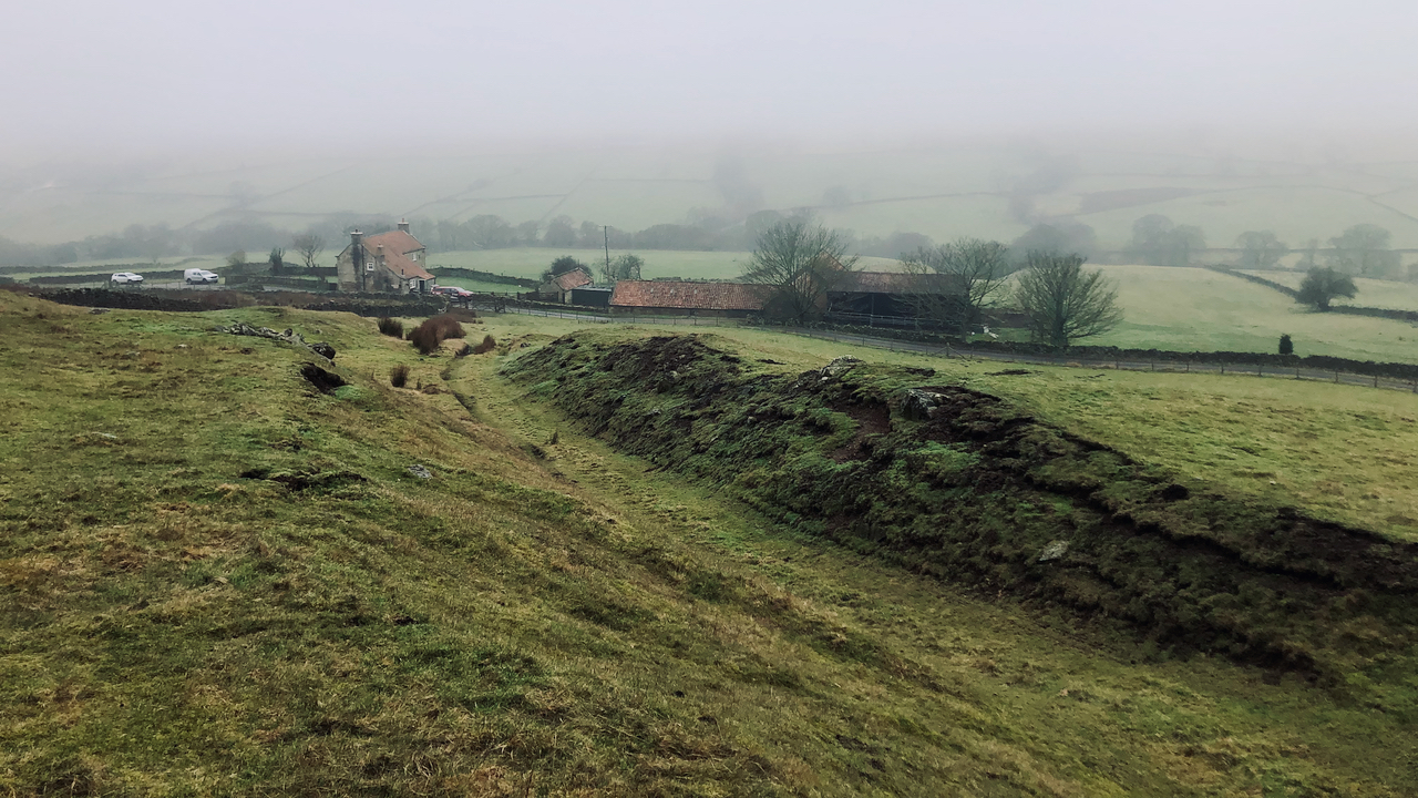
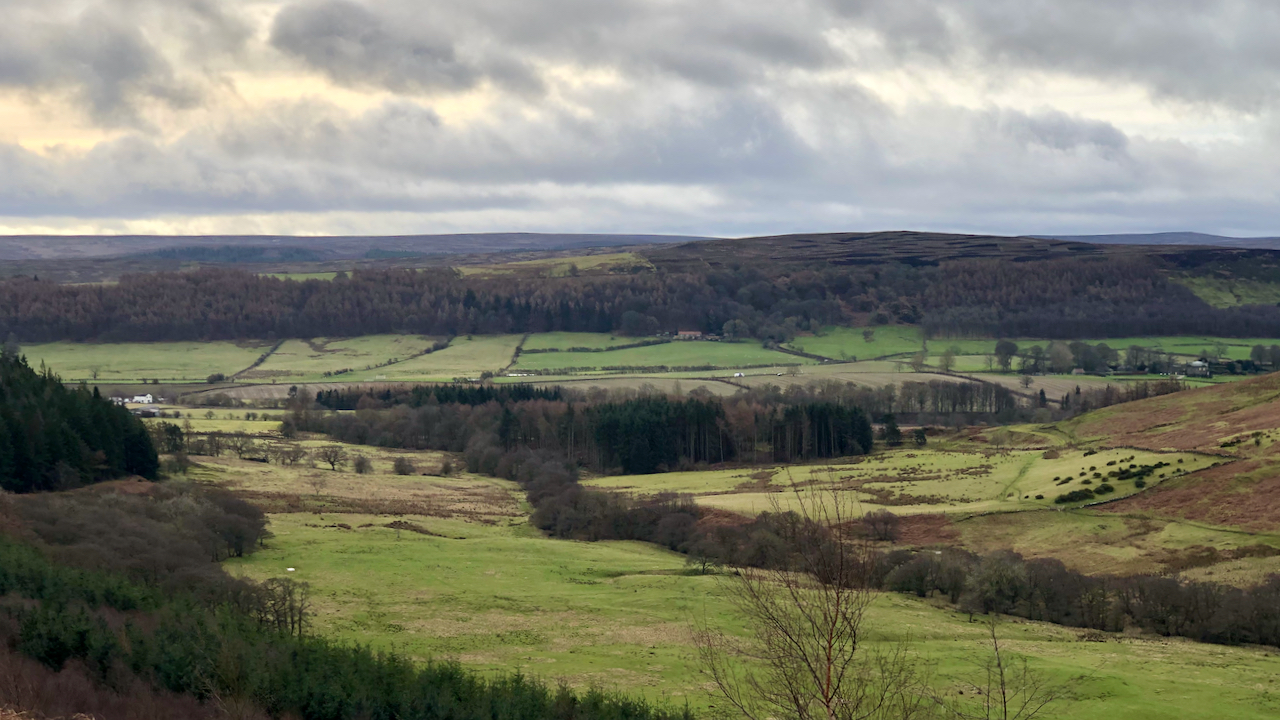
A dreich morning in Bransdale
This impressive holloway or sunken lane was once one of the major routes out of the dale. Climbing up from Groat House, it is shown on the 1857 OS Six-inch O.S. map. It is also shown on an earlier map of 1828, but not on one of 1782. The term ‘holloway‘ derives from the Old…
-
Fryup Heads
An “isolated eminence”, according to the Rev. Canon Atkinson, seems an elegant way of describing the hill known as Heads, which separates the dales of Little and Great Fryup. Although designated ‘Open Access Land‘ there are few ways up onto the hill, consequently, it seems quiet and little walked. But historically it has been well…
-
18th-Century Valentines
I noticed new trees have been planted on Busby Moor, that stretch of Cleveland Hills below Cringle Moor and Green Bank. And so to St. Valentine’s day, isn’t this year flying by? Francis Grose’s ‘A Classical Dictionary of the Vulgar Tongue‘, written in 1785, defines a ‘valentine‘ as ‘the first woman seen by a man,…
-
An early run taking in the top of the quarry at Cliff Rigg
A super morning, dry and sunny with some noticeable southerly winds. To the west, a large bank of cloud looks ominous but kept its distance. The quarry, now under the custodianship of the National Trust, is the result of the extensive extraction of Whinstone or dolerite, an extremely hard igneous rock that was ideal for…
Care to comment?