Tag: Valley
-
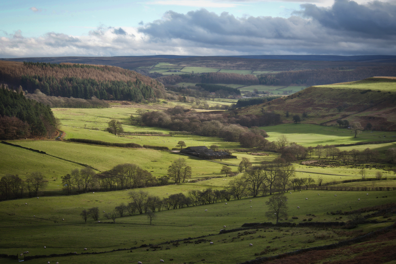
Lonsdale
A side valley of Kildale on a sunny Christmas Day. The farm in the centre we still know as Smelly Farm. Well, that was twenty years ago, it has been tidied up since and no longer exudes the particular miasmas. And of course, it was never a farm as such just a range of barns.…
-
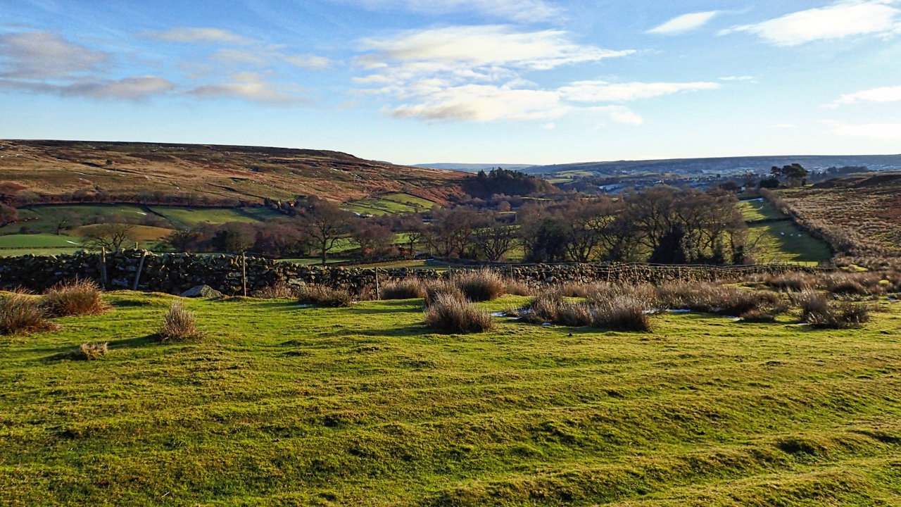
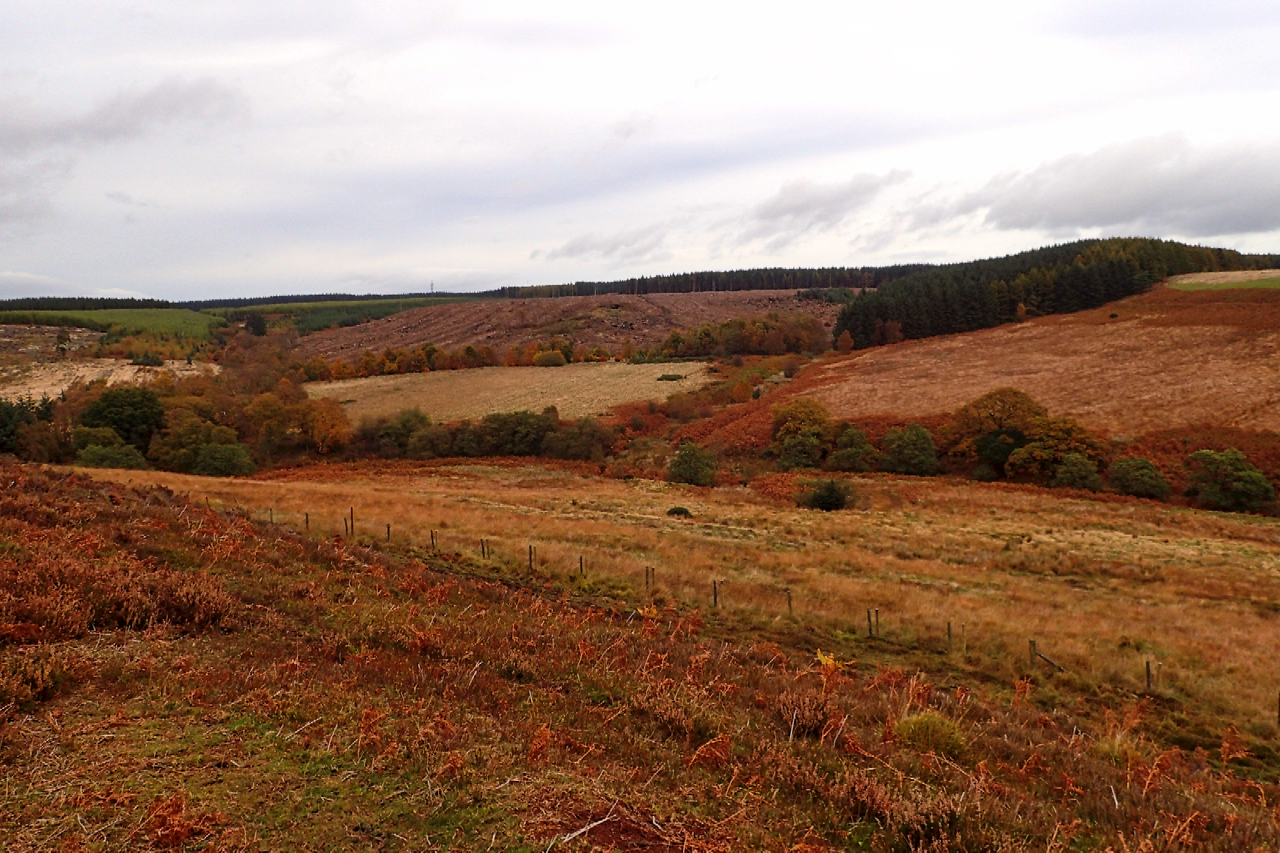
Commondale
Commondale is quite a short valley. Commondale Beck is barely 2 miles long from the meeting of Ravensgill Beck and Sleddale Beck and its confluence with the River Esk. The hamlet of the same name lies at the “head” of the valley. This photo was taken on Commondale Moor with some old drainage ridges noticeable…
-
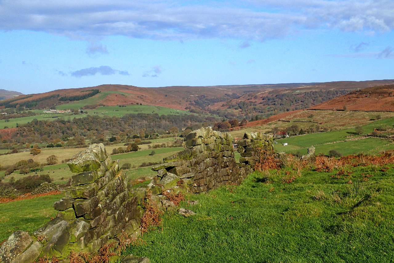
Tripsdale
Another fine morning but a day of indecision. Driving up Clay Bank and into Bilsdale I had no idea where I was heading. Chop Gate I suppose but the car park was ignored and in the end, I parked at Fangdale Beck and headed east up onto Coniser Howl, a huge large expanse of heather…
-
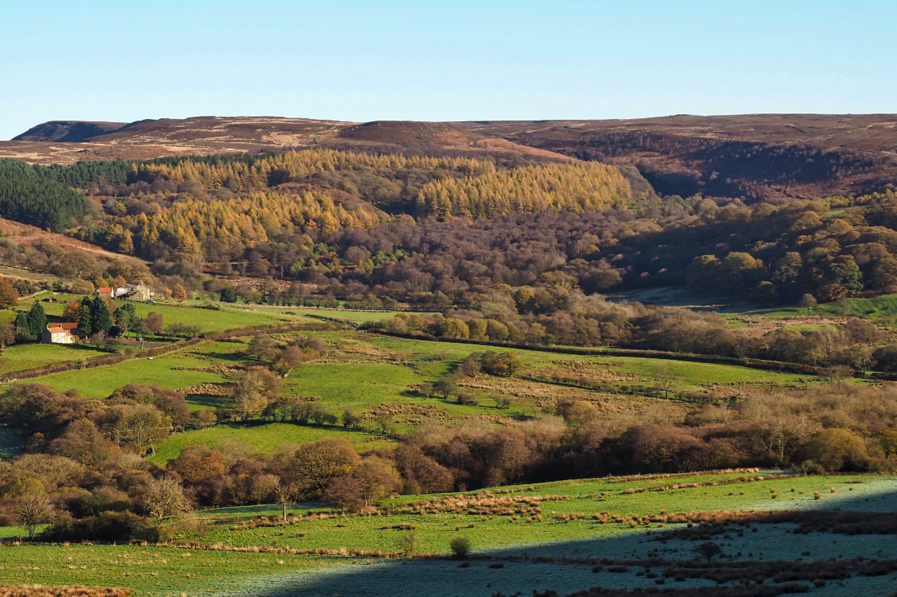
Snotterdale
A side shoot of Scugdale, I remember Snotterdale as a lovely little valley. But alas no Public Rights of Way exists through so it remains hidden from public gaze. I had the opportunity to explore the woods in 1996 when they were used to stage the Jan Kjellström orienteering relays. And, as far as I…
-
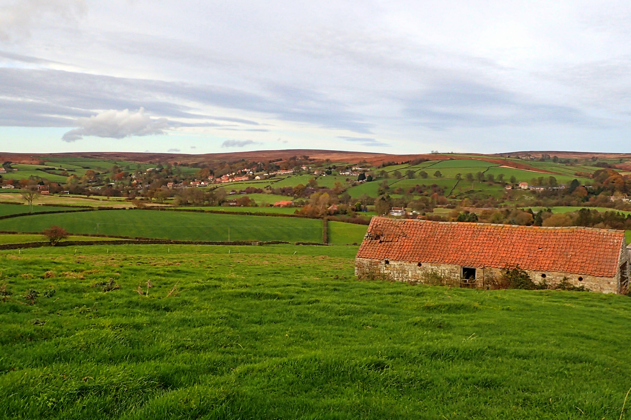
Barn at Castle Houses
From the Ainthorpe to Little Fryup Dale road, a fine view over Danby and the Esk valley. Open Space Web-Map builder Code
-
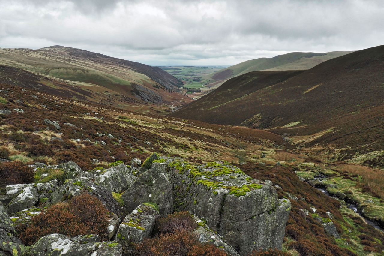
Mosedale
A neighbouring valley to yesterday’s post but far more significant, it’s watercourse, the River Caldrew, having a watershed covering perhaps half the Northern Fells. On the right Carrock Fell with its steep southern flank. A calmer day than yesterday but the high tops covered in cloud. Open Space Web-Map builder Code
-
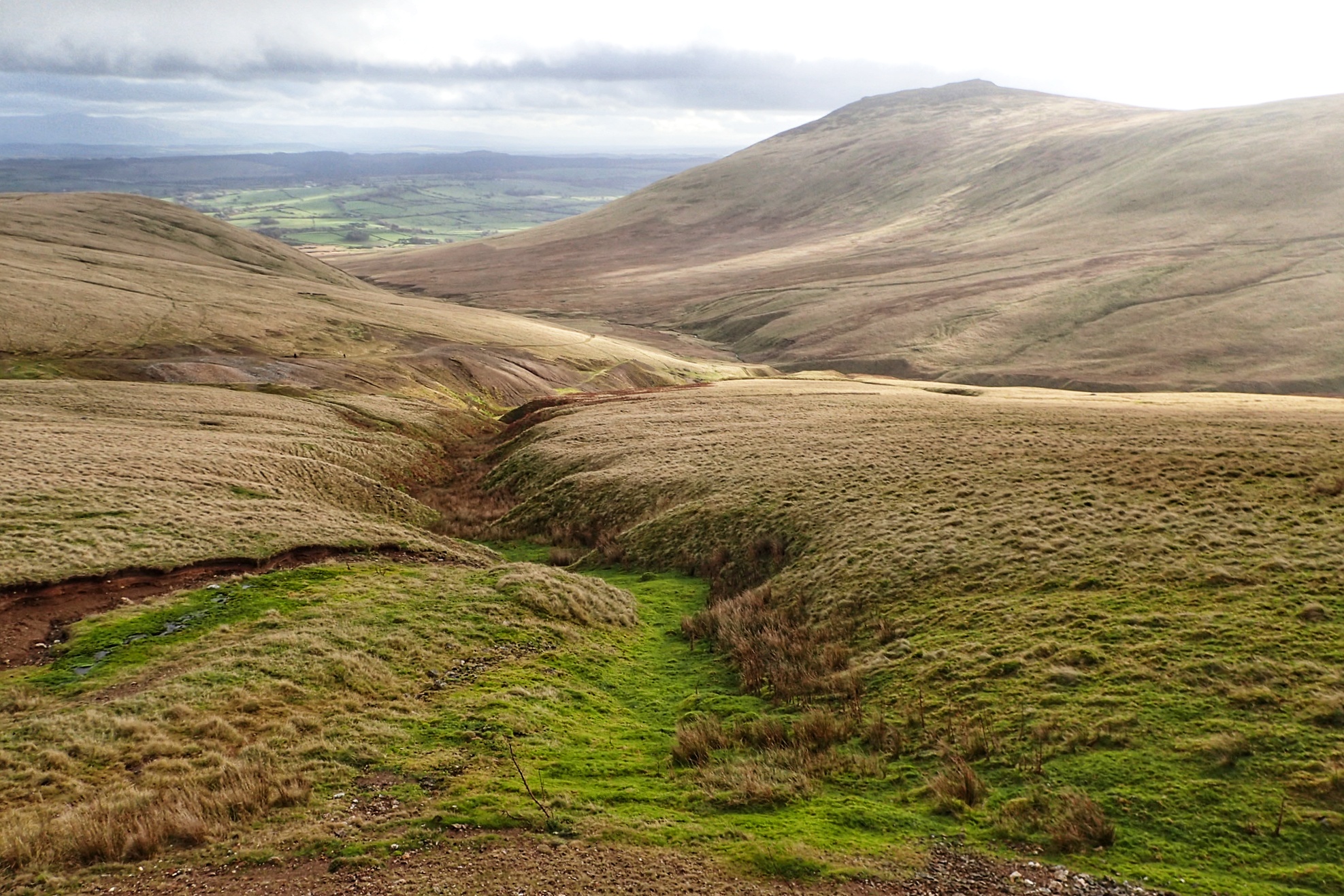
Carrock Beck
In the Northern Fells with Carrock Fell on the right. 649 metres high with a outcrop of gabbro, the only place in the Lake District where this igneous rock is found.
-
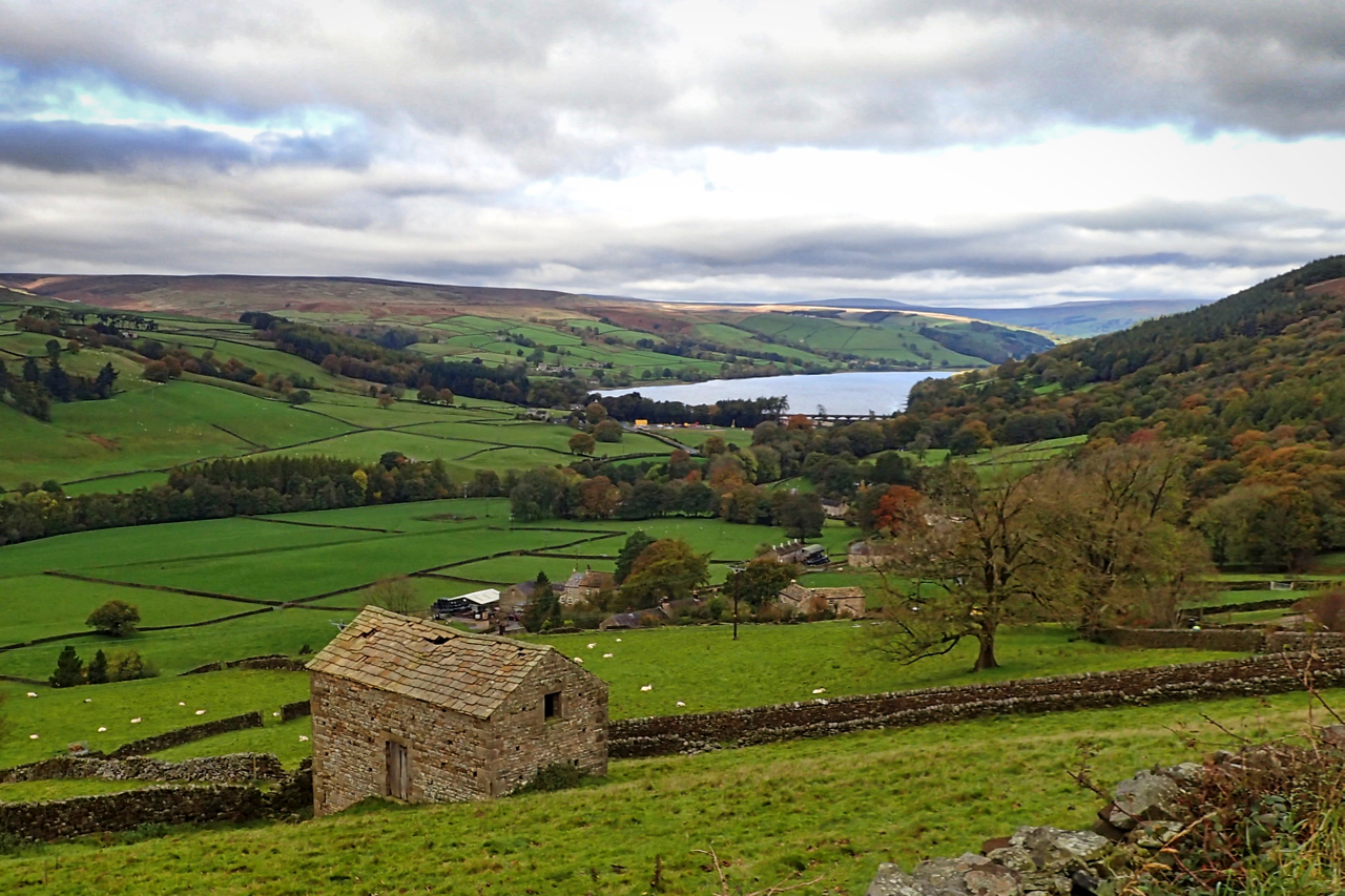
Nidderdale
Nidderdale and Gouthwaite Reservoir
-
Grain Slack
Discovered a new area of moorland today. Thompson’s Rigg, part of the National Trust’s Blakey Topping property. Heather dominates the rigg, hiding the prehistoric field system, cairnfield and hollow ways. Across Grain Slack, a diverse shallow valley is Allerston High Moor, also Trust land. In the distance, the commercial plantations of Langdale Forest have been…
-
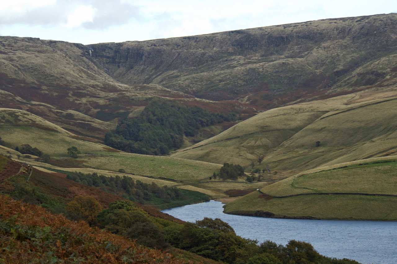
Kinder Valley
In the foothills of the Dark Peak looking up the Kinder valley towards the Downfall. The water is an arm of the Kinder Reservoir, built in the first decade of the 20th century to supply Stockport with a reliable supply of clean water. Open Space Web-Map builder Code