Tag: bank
-
Kirby Bank
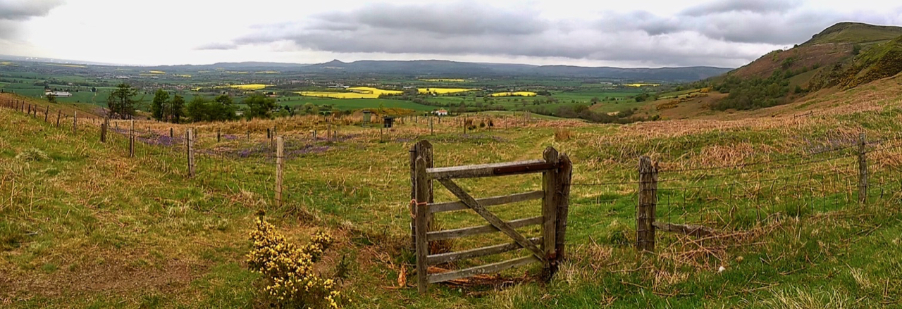
Playing with the panoramic function on my phone. This is looking back on the climb up Cringle Moor. A rather dull drizzly morning brightened by the fields of rape in the Vale of Cleveland. The fence has a bit of history. It is on the line of the old boundary between two Lords. James Emerson,…
-
Rotten Scar
Last Sunday I posted a little question where was I when I took the photo. I thought the hill would be a giveaway but for once no one came close. Further back and a little bit higher on the edge of Urra Moor and Hasty Bank becomes more obvious. The valley is the top end…
-
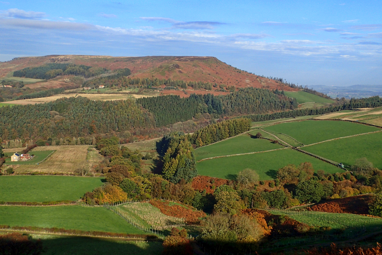
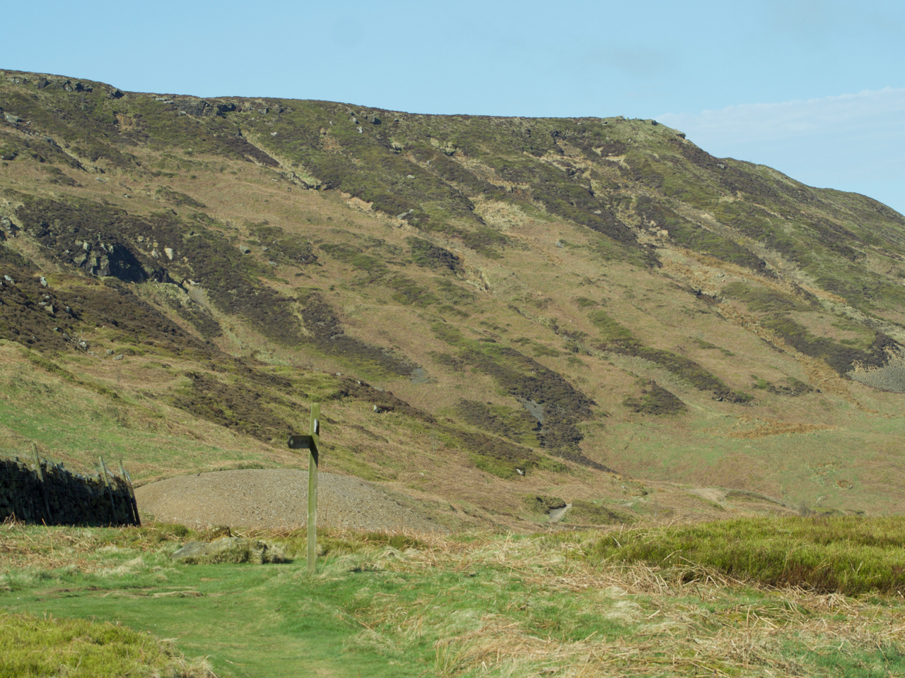
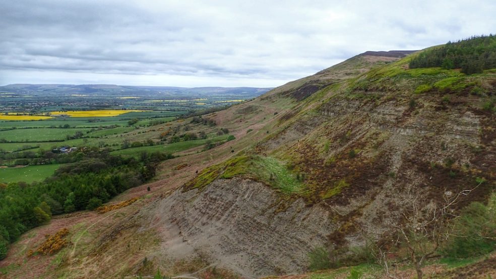
Kirkby Bank
Kirkby Bank, the steep northern face of Cringle Moor giving a fine autumnal display of rich colours. The photo also shows well almost three hundred years of man’s activities. History is much older than that of course. The underlying rock is Jurassic, laid down between 150 and 200 million years ago when Yorkshire was on…
-
Green Bank and Busby Moor
Here comes the rain. It’s looking ominous. Finally some relief. Looking along the Cleveland Hills from the Raisdale Road. Roseberry is somewhere on the horizon. Open Space Web-Map builder Code
-
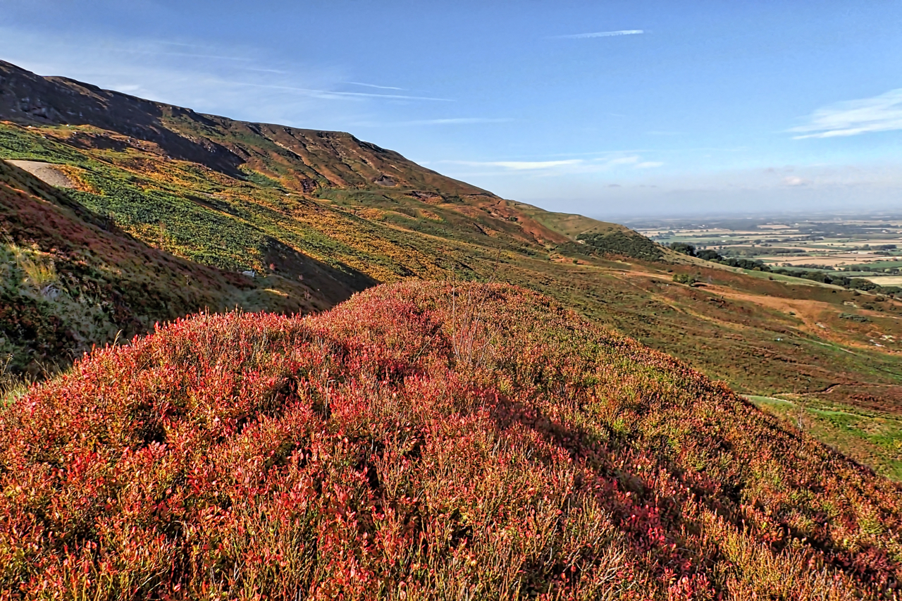
Cringley End
The modern Ordnance Survey map names the nab at the northern tip of the western end of Kirby Bank as Cringle End but I much prefer the Victorian name Cringley End. I notice too that Kirby Bank is referred to as Kirkby just like the village. I think I favour that too. Just to the…
-
On Ayton Bank
The last day of February and I had had tentative thoughts of cycling into Middlesbrough to photograph the Newport Bridge for it was on this day in 1934 that the bridge was opened by the future King George VI. But more snow overnight put paid to that idea, so Plan B: head up on to…
-
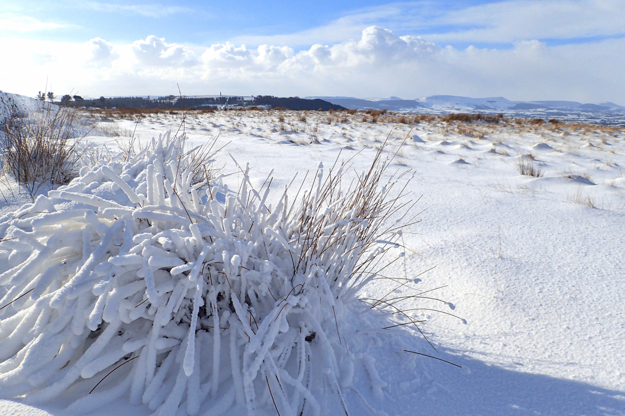
White Hill
White Hill, or perhaps better known as Hasty Bank, although I think that name actually refers to the Bilsdale side. Anyway the site of the 1872 landslip which wiped out the old Stokesley to Bilsdale road. I won’t repeat the history here, just refer you to my earlier post. Looking down on the Cleveland plain…
-
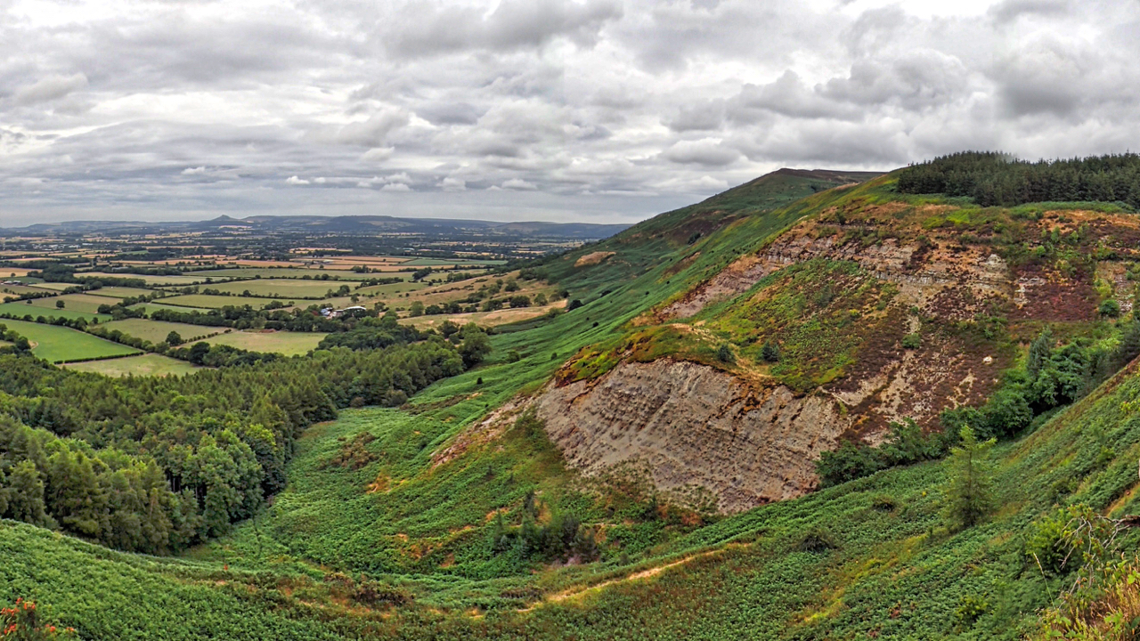
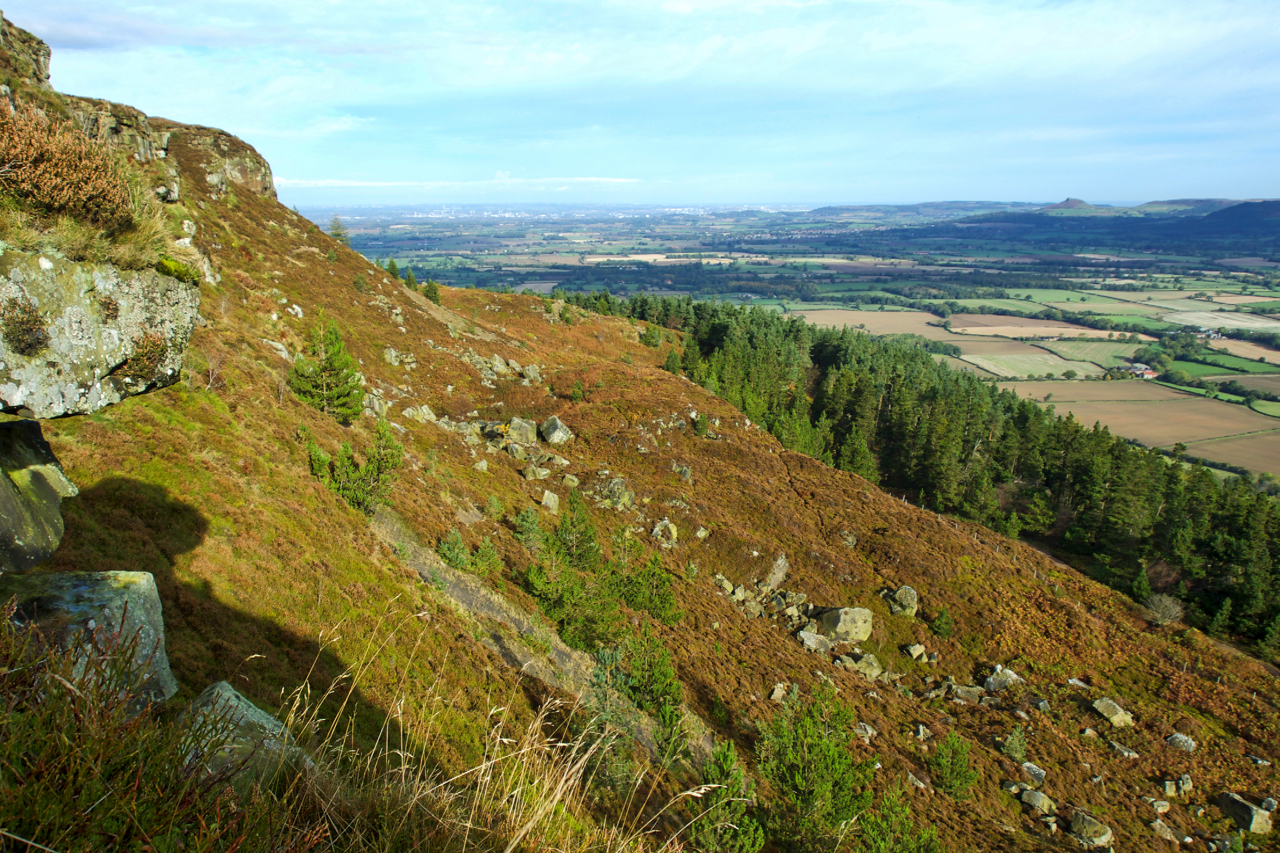
Greenhow Bank
A sultry evening view towards Botton Head where the forestry plantations are systematically being clear felled. The Ingleby Incline, a former railway incline, can be seen ascending the bank right to left. Greenhow Bank is capped by a series of crags and rock outcrops over a distance of a hundred metres or so. This crag, with…
-
Green Bank
The Cleveland Hills mark the north western edge of the North York Moors National Park. This is Green Bank below the Lord Stones Country Park although not much vegetation can grow on the soft Lower Jurassic shales.
-
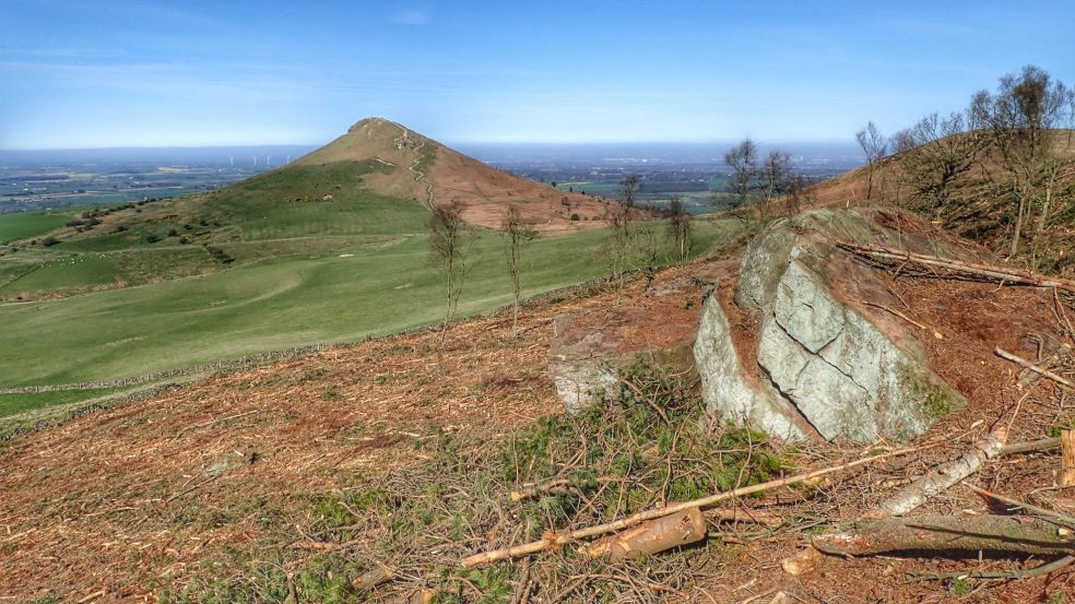
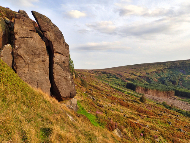
Black Bank
Recent felling of the plantation on Black Bank on the escarpment of Newton Moor has opened up a completely new prospect of Roseberry Topping. Revealed by the felling were a few interesting looking crags, so I battled through the debris resembling the Tunguska event for a nose around. The crags are nothing to shout about. The foresters…