Category: Baysdale
-
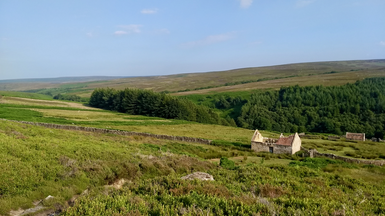
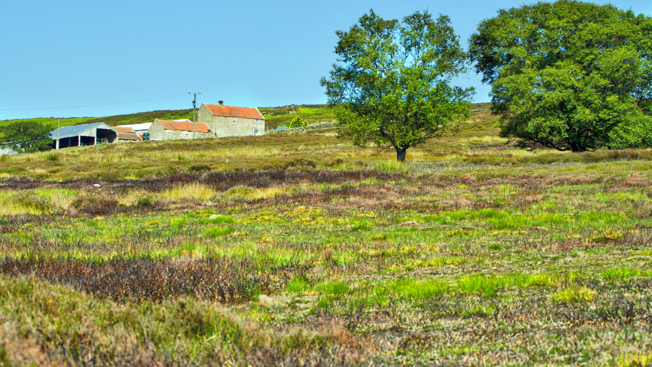
A familiar old barn in Baysdale
A well known landmark to anyone who has done any walking in the Baysdale area. Sited on the bridleway along the north side of the dale, from here a track climbs up and over, north to Leven Vale and Little Kildale. Tom Scott Burns writes that this track along the north side of the dale…
-
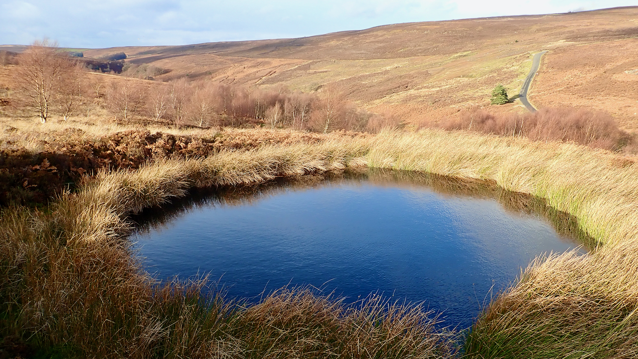
Little Hograh Moor Bomb Crater
Another trip to Little Hograh Moor, above Hob Hole in Baysdale. Honestly, I haven’t been this way for months for my third visit in a fortnight. This small pond, locally dubbed Frank’s Pond, is actually a 1942 bomb crater, according to Tom Burns Scott. A solitary bomb, jettisoned, I imagine, from a Luftwaffe bomber in…
-
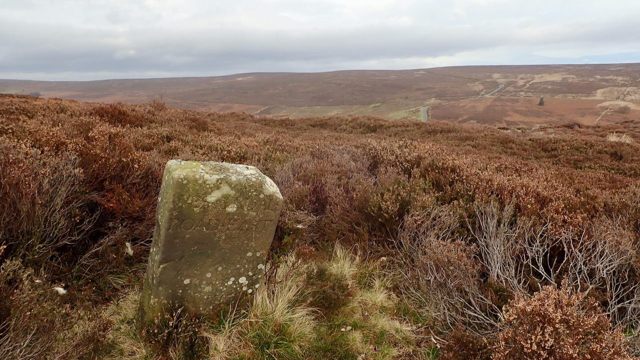
18th-Century Marker Stone
Very close to the ruined farmstead of Jane Frank Garth above Hob Hole and inscribed with ‘WESTERDALE ROAD・EAST‘. It’s located on Little Hograh Moor, about 350 metres from the Hob Hole to Westerdale Road and away from any modern footpaths, Tucked way in the heather. Jane Frank Garth is more locally known as ‘Gin Garth‘…
-
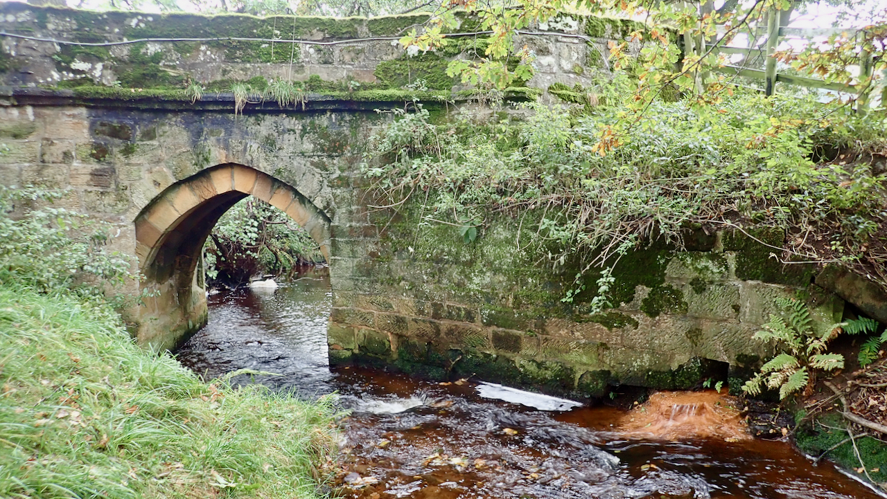
Baysdale Abbey Bridge
A single-arch bridge crossing Baysdale Beck, near to and contemporary with the small Cistercian nunnery of Baysdale Abbey. Which puts its construction in the 13th-century, although “the attached piers and parapet are probably 17th-century in origin with later alterations”. Which begs the question of which bits are original? No trace remains of the abbey, its…
-
Armouth Wath
The North York Moors is not renown for its coalfields, but in the late 18th-century, coal was being mined here but on a much smaller scale than the deeper coalfields in other parts of the country. ‘Moor Coal’ seams are thin, usually between 15 and 55 cm. thick and generally occur in three bands, the…
-
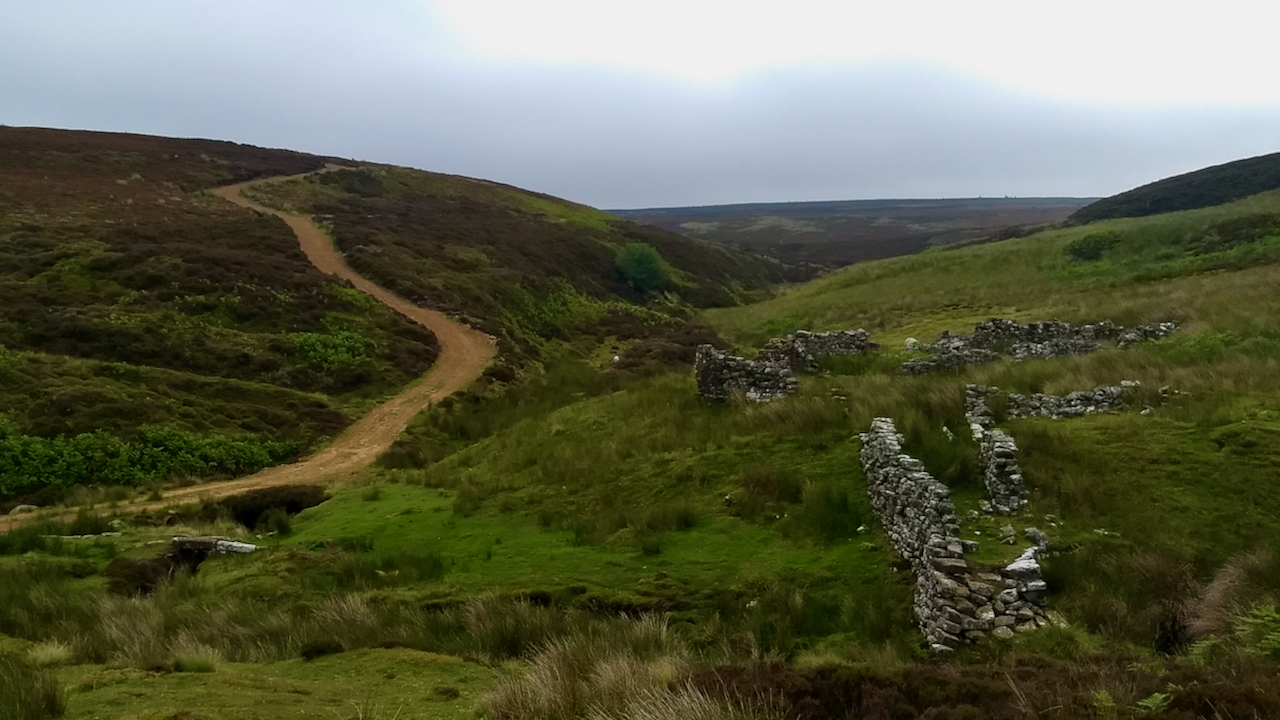
Baysdale
I very much doubt that any of these ruined barns is the one that gave its name to the “cowshed valley”, remote and isolated. Once Baysdale was home to a population of fairies who washed their ‘fairy butter’ in a favourite spring and left overnight on gate posts and fences after apparently throwing blobs at…
-
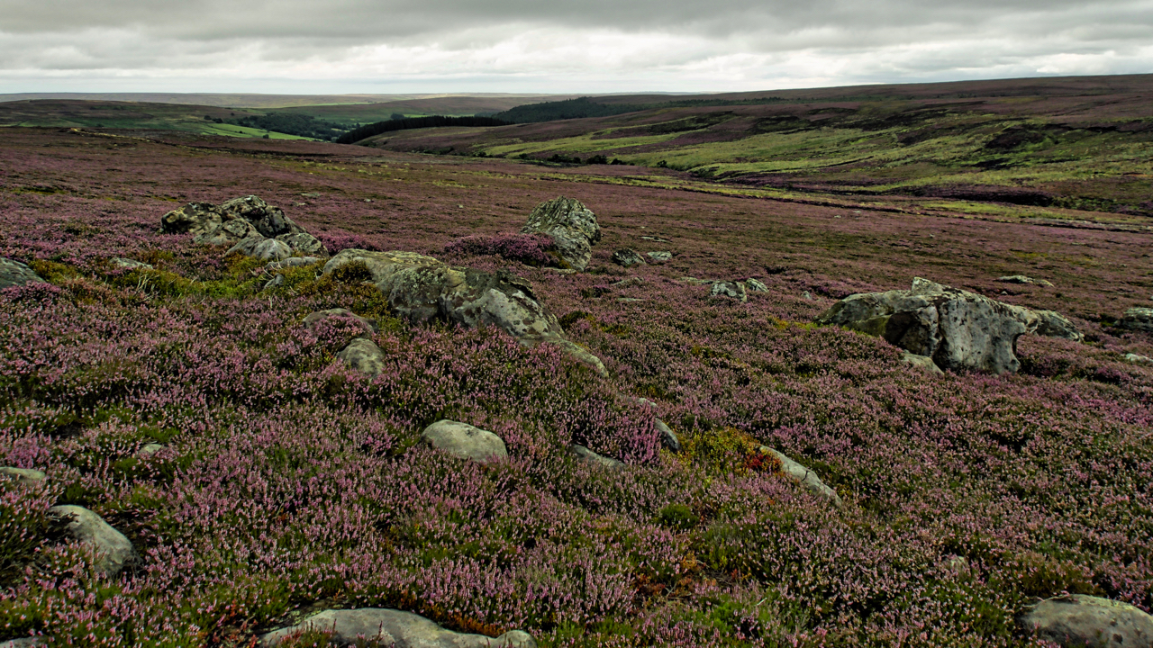
Ingleby Moor
No excuse but another photo of the purple. It’s that time of the year. Have to make the most of it. The season does not last long. Had a pootle around the upper reaches of Baysdale. This is from the east side of Tidy Brown Hill, overlooking Black Beck, a tributary of Baysdale Beck. In…
-
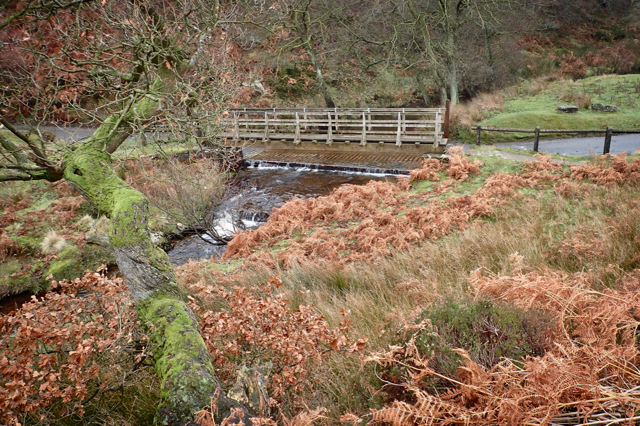
Hob Hole
A popular picnic spot since at least the Edwardian times. The very name ‘hob‘, perhaps a shortening of hobgoblin, evokes an image of a remote place, an abode of mischievous elves that prey on weary travellers. The ford, where the Kildale to Westerdale Road crosses Baysdale Beck is accessed by a hair-raising descent followed by…
-
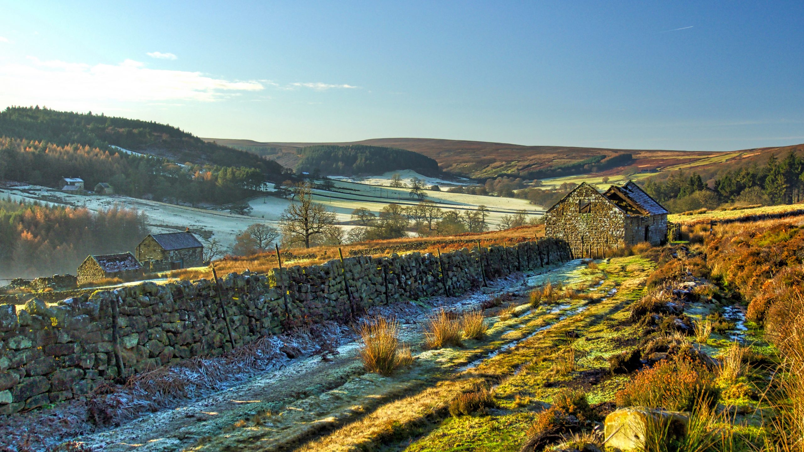
Haggaback Farm
This must be one of the highest farms on the moors. Haggaback Farm stands almost 800 feet above sea level on Commondale Moor. A bleak and exposed spot. Most farms are usually sited in the middle of their network of fields, to minimise distances travelled. Haggaback is strangely at the edge of the high moorland,…
-
The Postman’s Path into Baysdale
Taken from the old postman’s path, part of the route walked daily by the Kildale postman, which, according to Cedric Anthony’s book Glimpses of Kildale History, was the longest round in the country. For many years Derrick Dale was the postman. He lived in a cottage near the railway station. Originally mail was sorted at…