Tag: boundary stone
-
Moor Edge Stone
Another dull morning with a sky of corrugated grey cloud clipping the top of Roseberry. So an old favorite, the Moor Edge Stone marking the boundary between the parishes of Newton-under-Roseberry and Pinchinthorpe. Rendered in black and white in an attempt to emphasize the heavily weathered inscription of “TKS 1815” standing for Thomas Kitchingham Staveley…
-
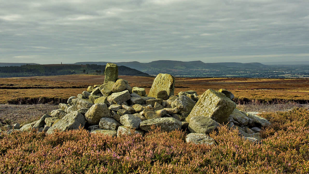
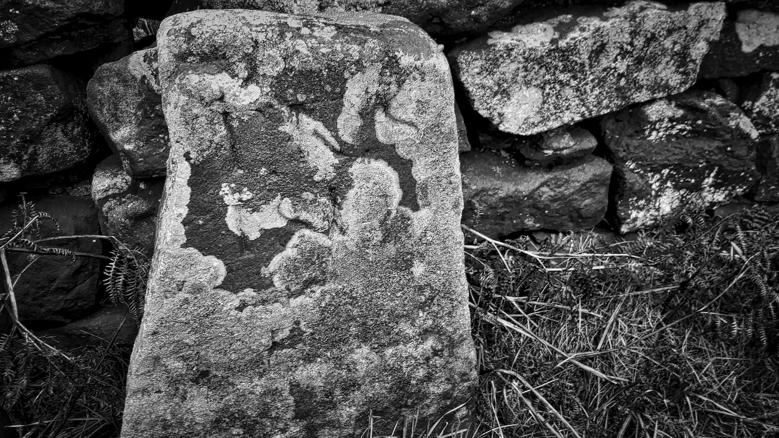
Two boundary stones and a Bronze Age round cairn
On Great Ayton Moor, a jumbled pile of stones on top of a Bronze Age round cairn and partly buried are two roughly dressed limestone boundary stones. One is inscribed “TKS 1815” while is inscribed “RY 1752” on the east side and “GN” on the west side. I don’t know about the “TKS” or “GN”…
-
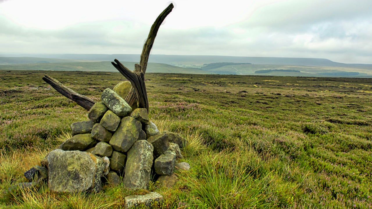
Prod Howe
An 18th-century boundary stone sited just above the 380m contour on Snilesworth Moor. A dull overcast morning marred by a confrontation with an irate gamekeeper. Soon after I had parked at Scugdale he drove up holding a dead pheasant accusing me of hitting it on the drive up the valley. Now I recall hearing no…
-
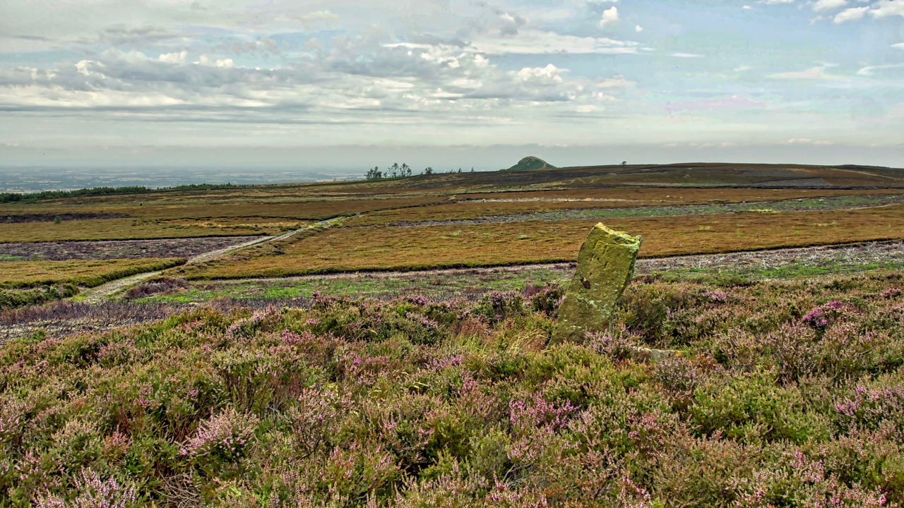
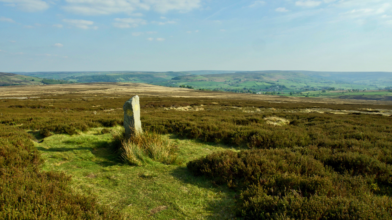
Newton Moor
The mosaic of a managed heather moor, managed to maximise the number of grouse. Heather is burnt to encourage young growth which the grouse feed on. Patches of tall old heather are left for nesting. Yet every square inch of land in the photo (beyond the boundary stone) is National Trust property. The heather was…
-
Siss Cross
Typical of the many crosses that are a feature of the North York Moors. Originally erected by the Saxons or Danes after their conversion to Christianity but most replaced over the years. Their purpose has been speculated as a waymarker, territorial boundary or a memorial but may have been re-used for all of these. Siss…
-
Havelock Stone
In 1716 the Lord of the Manor of Gisborough, Edward Chaloner, ‘perambulated’ around the boundaries of his manor. This annual custom was carried out throughout the country often on Ascension Day and is often known as Beating the bounds. Before the days of modern surveying, it was an important way of reinforcing the parish boundaries.…
-
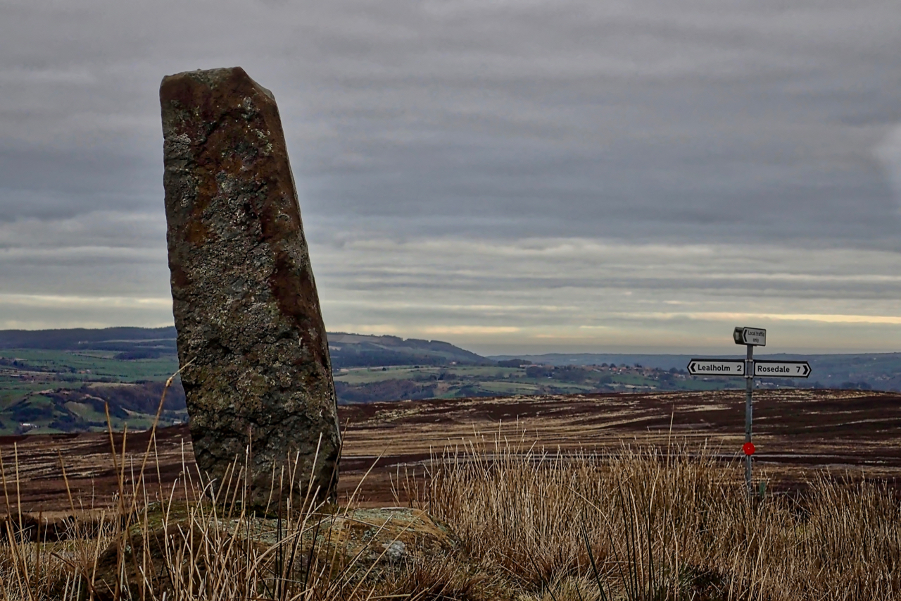
Wayside cross, Black Hill
After a great exploration of Glaisdale Rigg, my final photo of the day. A stone’s throw from the where the car was parked, a Medieval wayside cross. Situated at the crossroads of Yarlesgate, the north-south pannierway linking Lealholm to Rosedale, and the east-west track from Glaisdale to Great Fryup Dale, down the very steep Beanley…
-
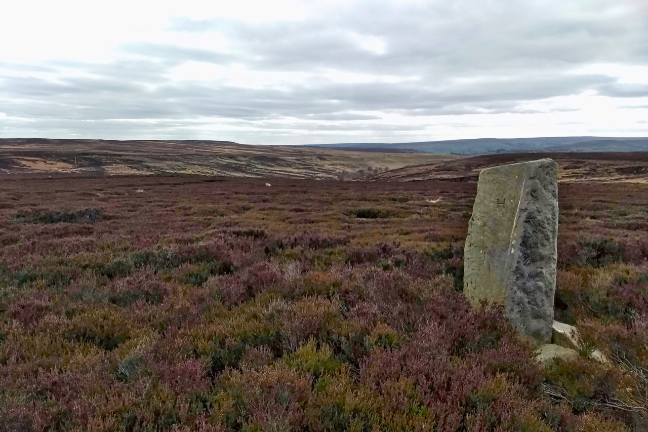
Boundary stone, Ryston Bank
Or perhaps better known as Newton Moor. The boundary stone is inscribed “T.K.S. 1815” and was erected by Thomas Kitchingham Staveley, the Lord of the Manor of Newton under Roseberry when the moor was enclosed. Interestingly towards the end of his life Staveley lived in Old Sleningford Hall, near Ripon, but named his eldest daughter…
-
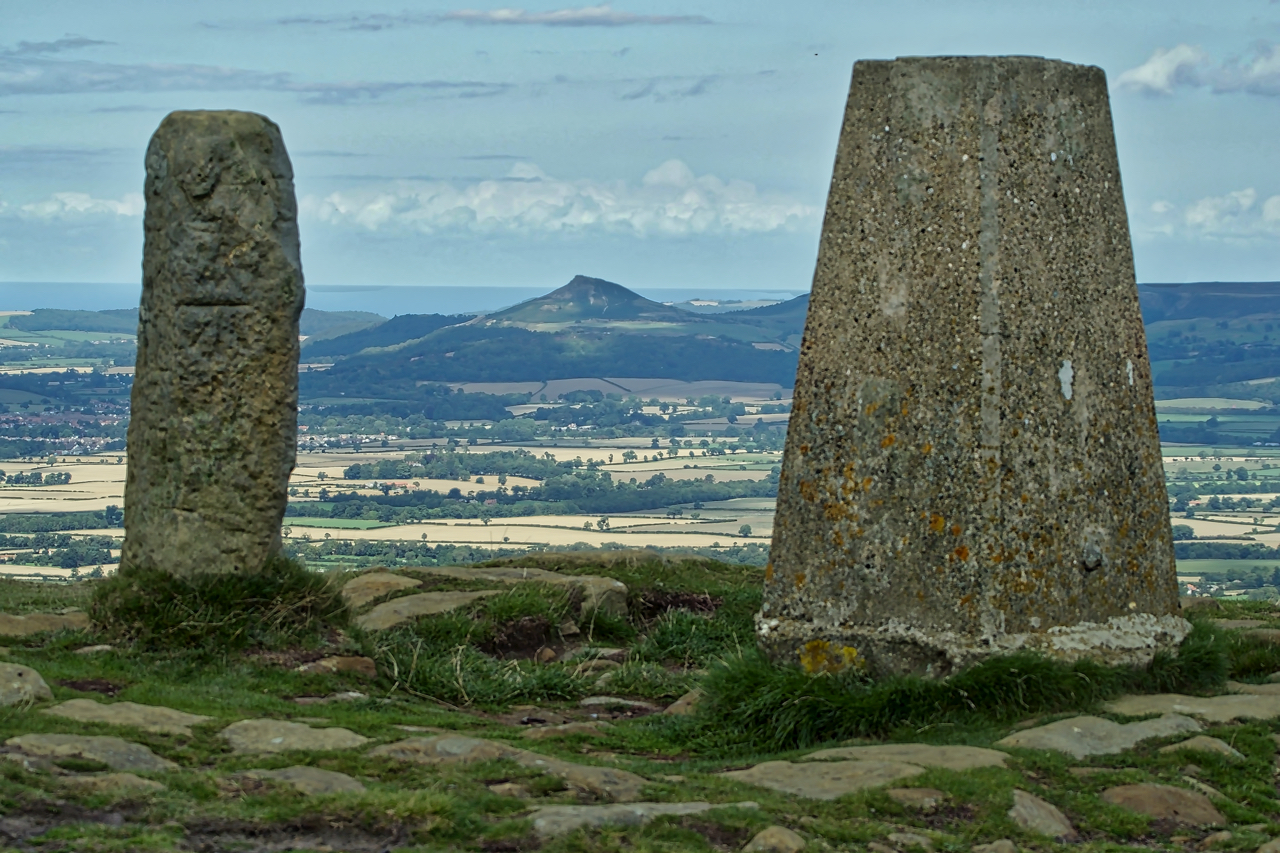
Carlton Bank Trig Point
A view of Odin’s hill, Roseberry Topping, sandwiched between the trig point and old parish boundary stone on the highest point of Carlton Bank. The summit, at 408m above sea level is the third highest point on the North York Moors. Today it is generally known as Carlton Moor but has also been mapped at…
-
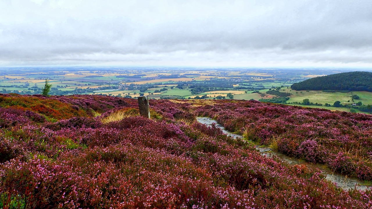
On Faceby Bank
There’s only a week or two of the purple haze so I have to make the most of the heather, providing some colour on a wet morning when the horizon is lost to the mist. The view is down to Swainby with wooded Whorl Hill on the right. Open Space Web-Map builder Code