Category: Gisborough Moor
-
Westworth
When Robert de Brus endowed Guisborough Priory in the early-12th-century, he included vast tracts of somewhat ill-defined moorland. It was left to his son, Adam de Brus, to define the boundaries which named an area of forest known as Westwyth for which de Brus retained his hunting rights. Martyn Hudson in “on blackamoor” describes Westwyth perfectly:…
-
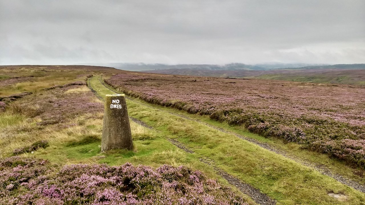
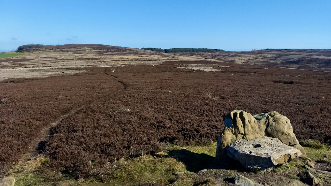
G’boro Moor Trig. Point
Today, 17 August, marks the 250th anniversary of the first recorded ascent of Ben Nevis, by Edinburgh botanist James Robertson. I think. I say that because Wikipedia says it’s the 19th. Now, I can’t remember from where I acquired that snippet of information but the Nevis Landscape Partnership website says it’s the 17th, so that’s…
-
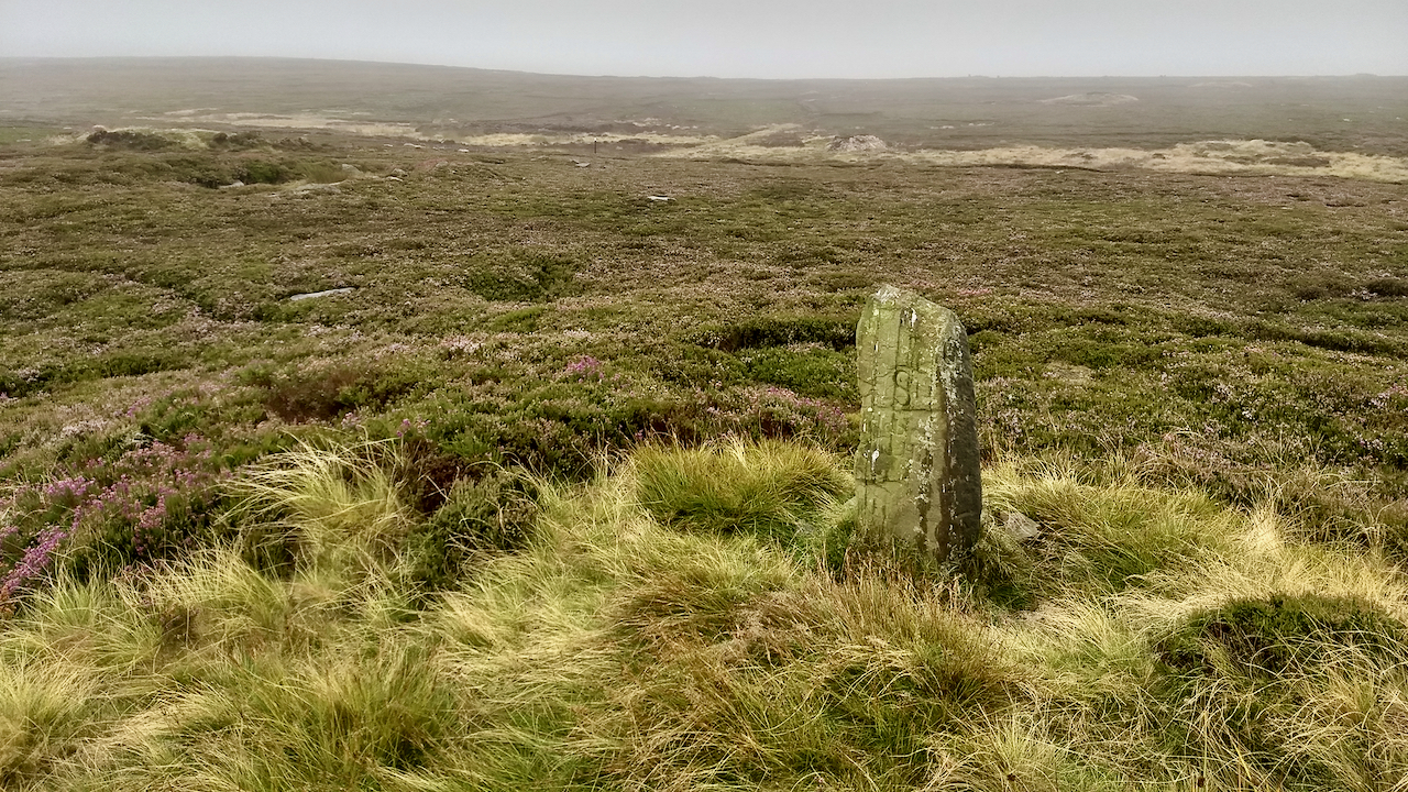
Hob on the Hill
A pretty dreich morning. So no scenic photo today, the visibility as I crossed Gisborough Moor being about 50m. Notice the purple is not so vibrant today. Perhaps that could be down to the muted lighting, but it is an intensively managed moorland; I still think that’s a factor. This boundary stone named as Hob…
-
“Riviera Britain? Sorry, it’s just hot air.”
So headlined an article in the Daily Mail written by Piers Corbyn, hailed as “Britain’s top weather expert”, 25 years ago tomorrow. Way back in 1996. The report was in response to a prediction by the Climate Change Impacts Review Group which warned that global warming would have the effect of moving Britain 100 miles…
-
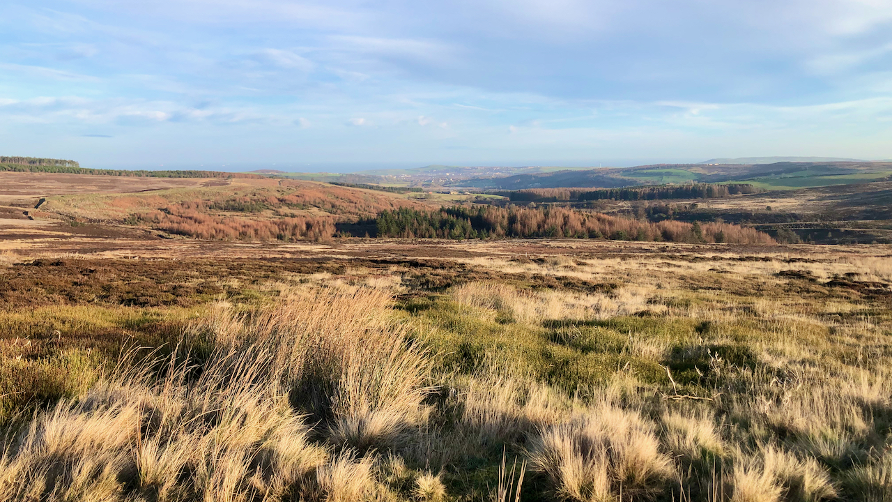
Guisborough Moor
Actually taken from Codhill Heights looking north towards Potters Ridge but all part of the great expanse that is Guisborough Moor. On 31 Mar. 1941, the Times reported that the Air Ministry and Ministry of Home Security had issued a communiqué: Though there has been some activity off the east and west coasts during the…
-
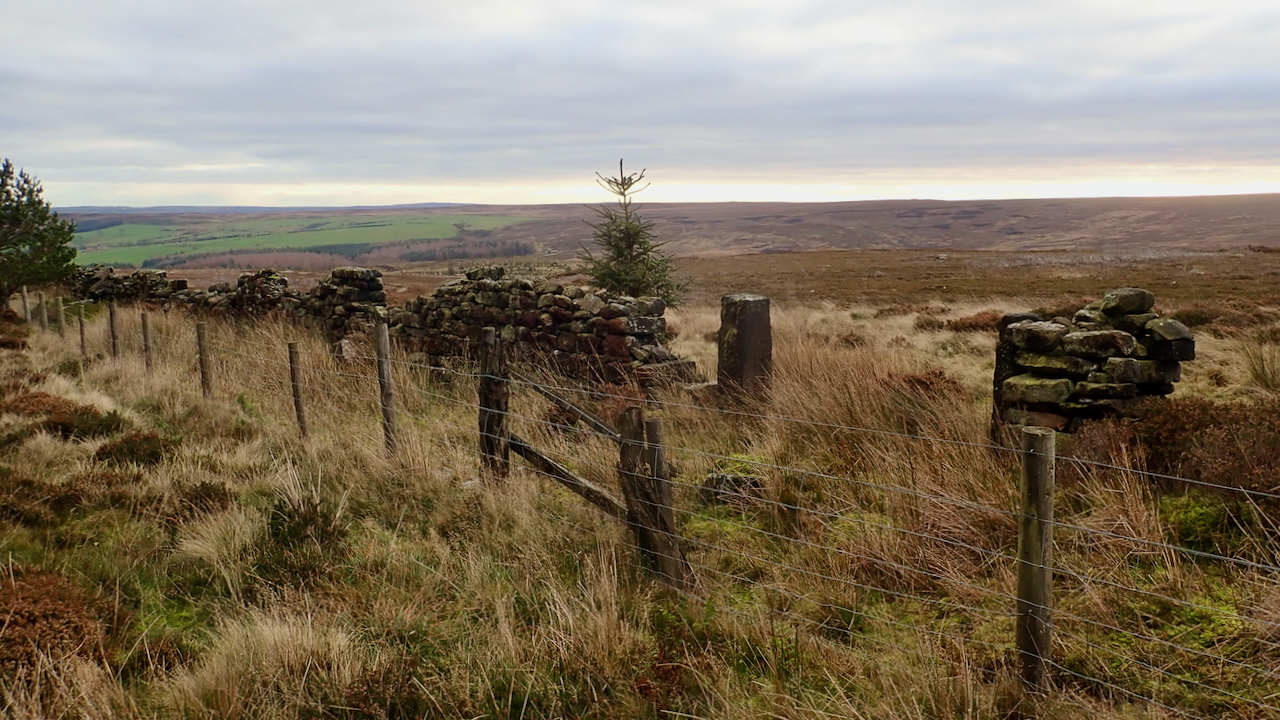
Cass Rock Gate
I thought a couple of intriguing features on the 1853 Ordnance Survey map were worth a visit, to see if there are any signs remaining. Both are still recorded on the latest online mapping but I wonder if they have been merely been carried forward without actually resurveying. The first is ‘South Stone’, deep in…
-
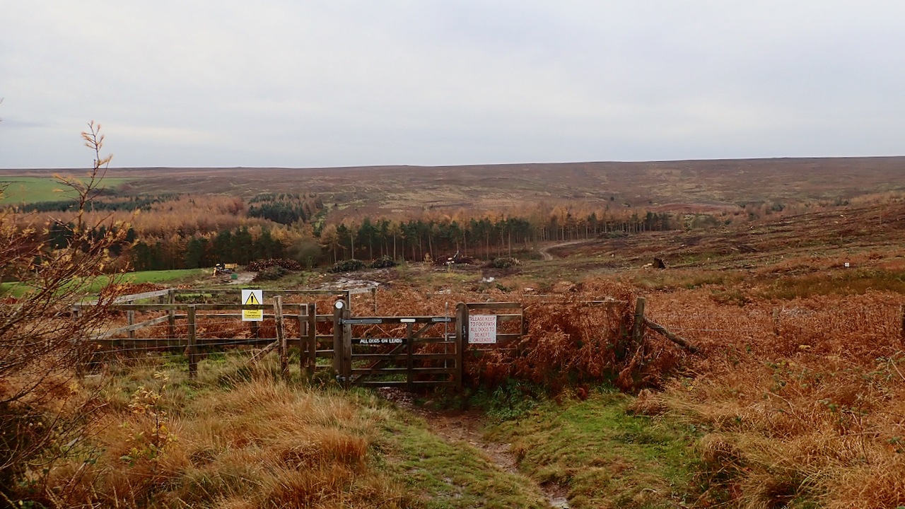
Westworth Plantation
Gone but not forgotten. Felling is ongoing but already the view is already dramatically changed. I feel a sense of sadness. Commercial coniferous plantations are not the most diverse of environments yet I’ve always had an affection for Westworth Plantation. It was on one of my training circuits when I lived in Guisborough and one…
-
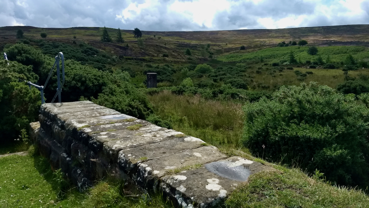
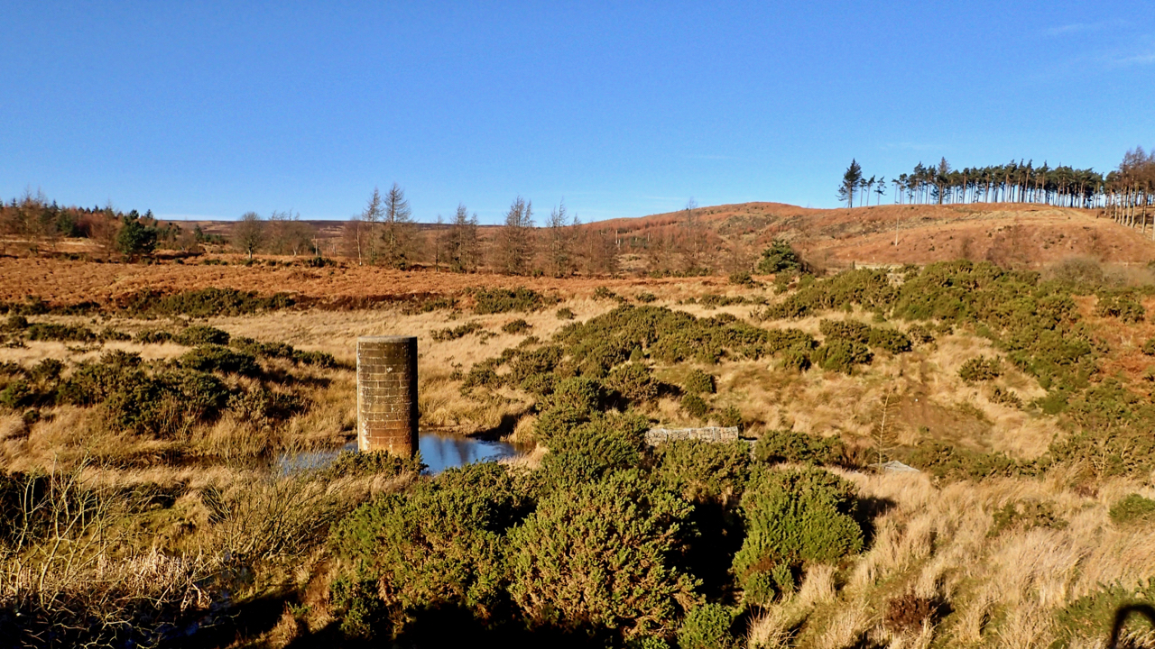
Westworth Reservoir
Originally built to supply water for Guisborough town, Westworth Reservoir was constructed in 1875 and continued until the early 1970s when the water supply system was replaced. It was retained as a water supply in the event of a forest fire. However, by the end of the century, the dam’s structure was in danger due…
-
Westworth Reservoir
Had a look around the old Westworth Reservoir. This was one of my regular jaunts when I lived in Guisborough in the 1980s. Now just a puddle, it was a proper reservoir then, over 15,000 square yards, although no longer in use. Very popular with the local lads for swimming if I recall. A public…
-
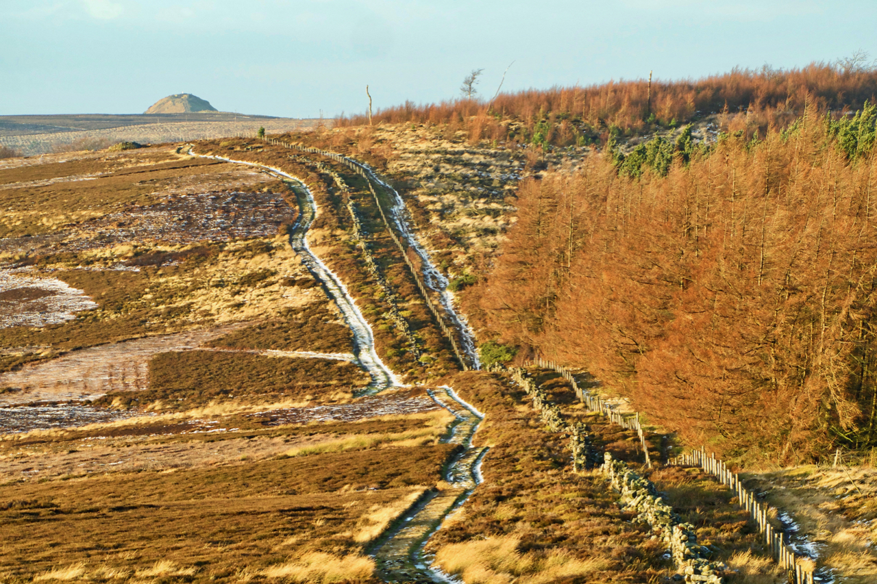
Highcliff Gate
After last night’s passage of Storm Deidre, a benign sunny morning. Bit disappointing to find no snow but icy tracks made the going interesting. This is looking west along the watershed between the Tees and the Esk, across Highcliff Gate to Potter’s Ridge with Roseberry peeping over the skyline. Open Space Web-Map builder Code