-
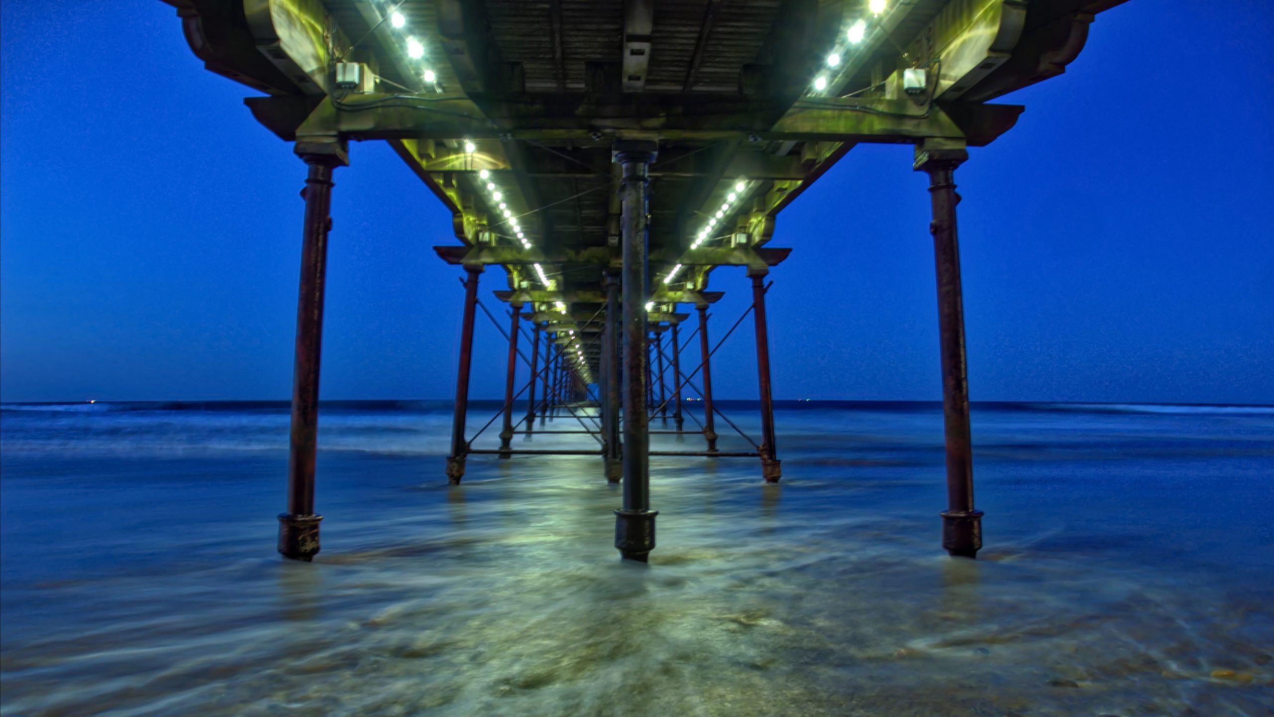
Saltburn darkening
Down to Saltburn for the end of the day. And so busy for a Sunday evening with the fish and chip shop doing a good trade in spite of Il Duce’s flying visit during the last election. Quickly forgotten. But oh so cold. Cold enough to freeze the tail, nose, ears and other parts of…
-
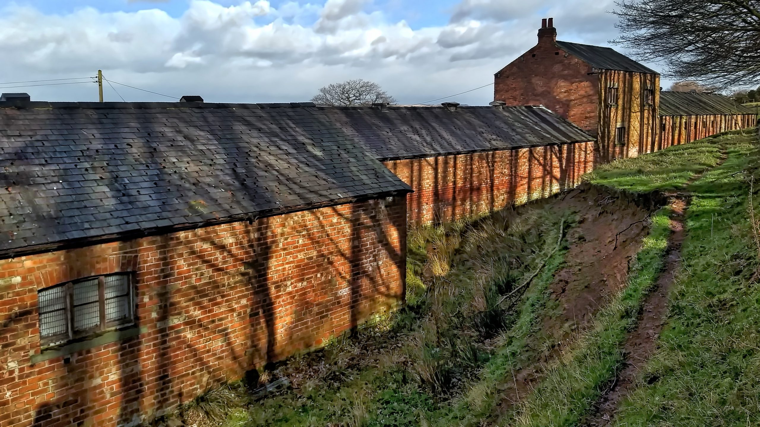
Former workshops and stables, Belmont Ironstone mine
Around the back of the impressive range of buildings used for stabling the ponies that were used underground in the Belmont Ironstone Mine. They are probably the best-preserved surface remains of mine buildings in Cleveland and have found use once again for stables. In the 1970s I remember them being used for housing pigs. Or…
-
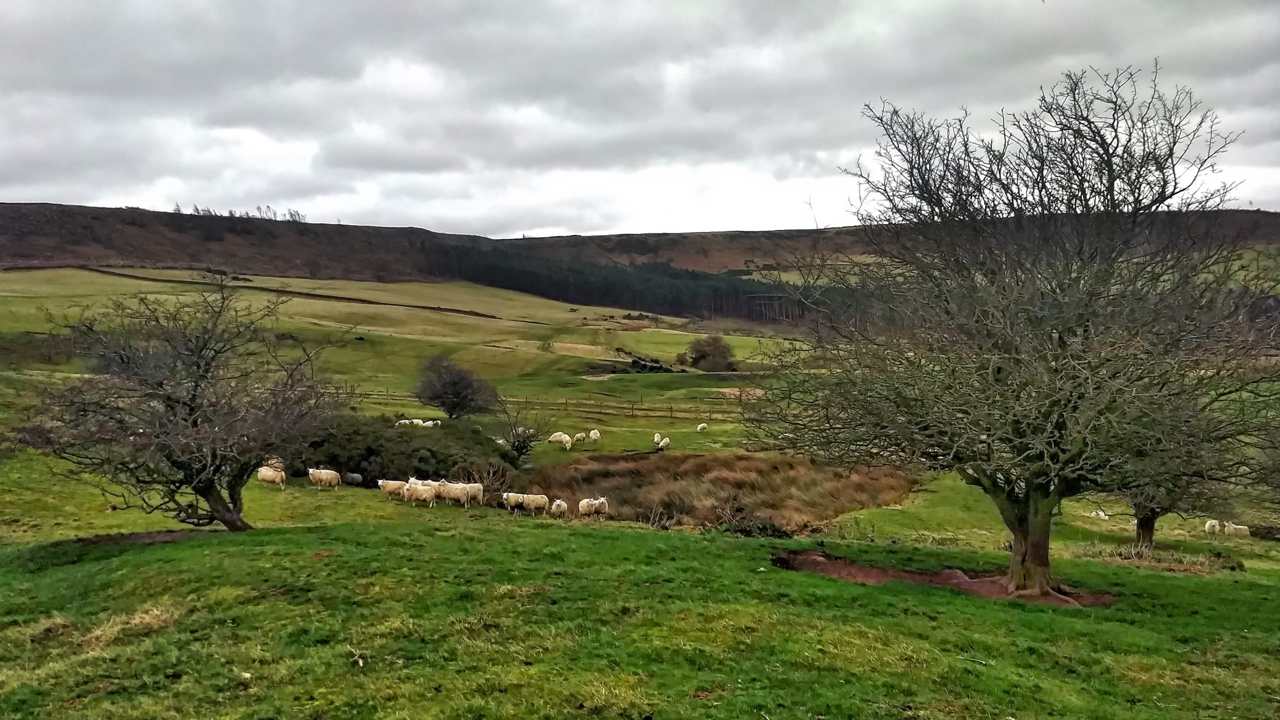
Roseberry Mine Reservoir
Operations at the Roseberry Ironstone Mine would have been dependent on steam power. In the 1931 public auction when the mining equipment was sold off, the lots included 2 hauling engines, 1 compressor, 1 fan engine, 4 boilers, and 2 pumping engines. To supply all these steam engines with sufficient water a reservoir was built 25 feet on the slope…
-
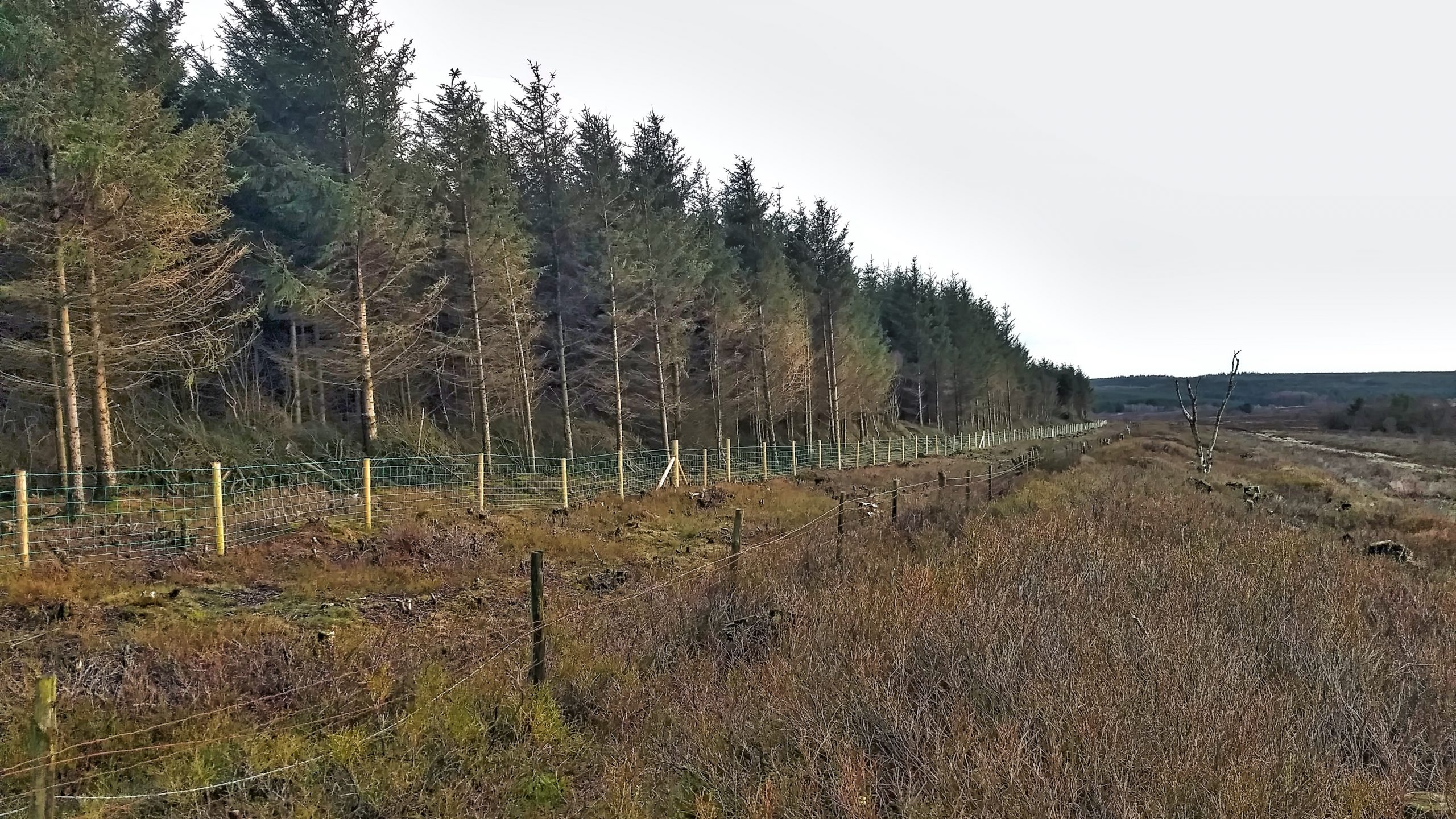
The prehistoric linear boundary at Bridestones
Working on the prehistoric linear boundary at Bridestones Moor for the National Trust today and this morning I got drenched. My 20-year-old waterproofs let me down. It rained so heavy we sat it out at one point in the pickup. But the good news is the new fencing is now finished. It has taken three…
-
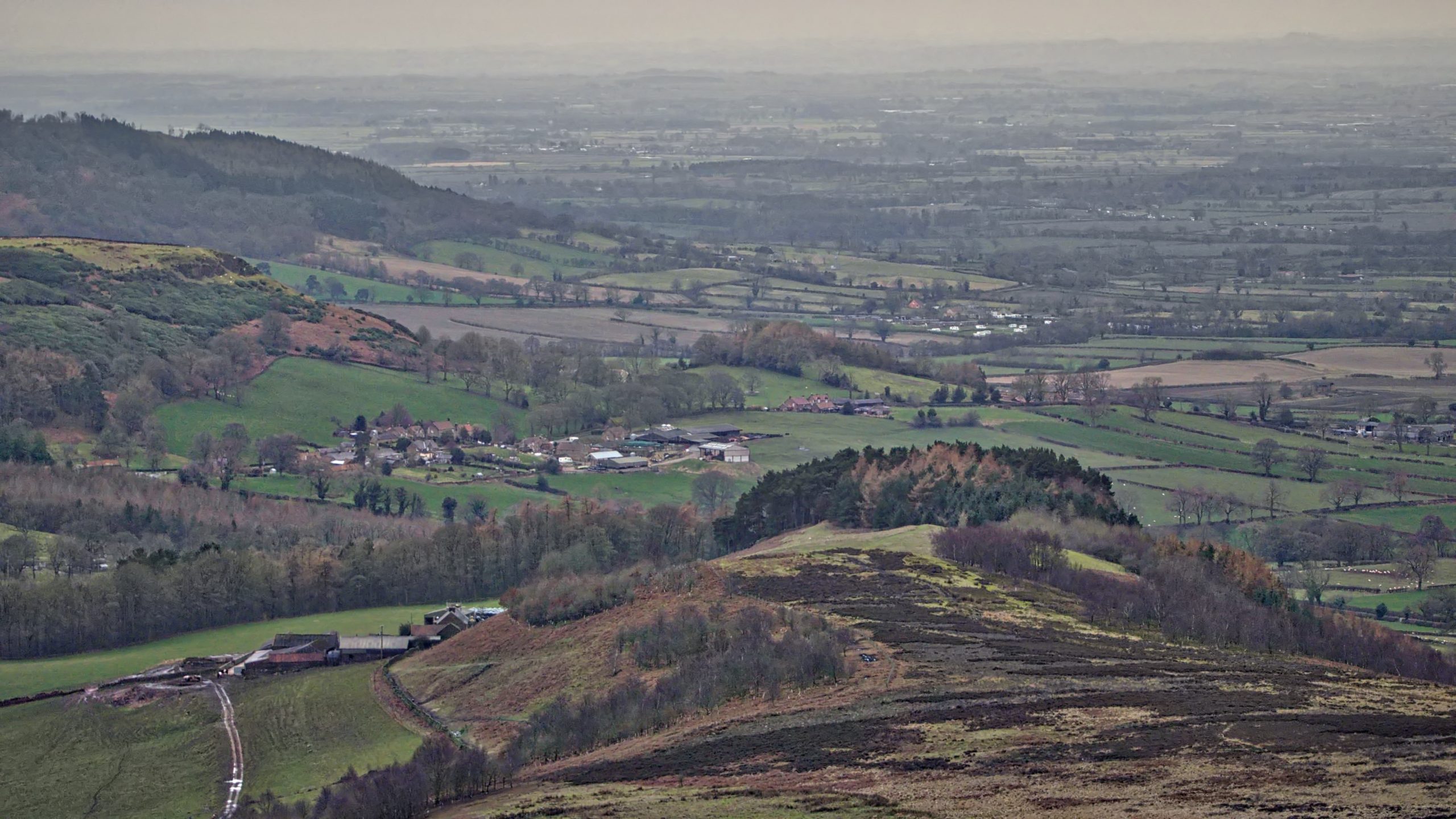
Nab Ridge, Kepwick
A walk from Osmotherley to Boltby along Hambleton Street, the old Drovers’ Road. A rather dull afternoon with failing light and a bit of drizzle. This is taken from the Drover’s Road looking down along Nab Ridge onto the village of Kepwick. Just beyond Kepwick and slightly to the right is Howe Hill, which, although…
-
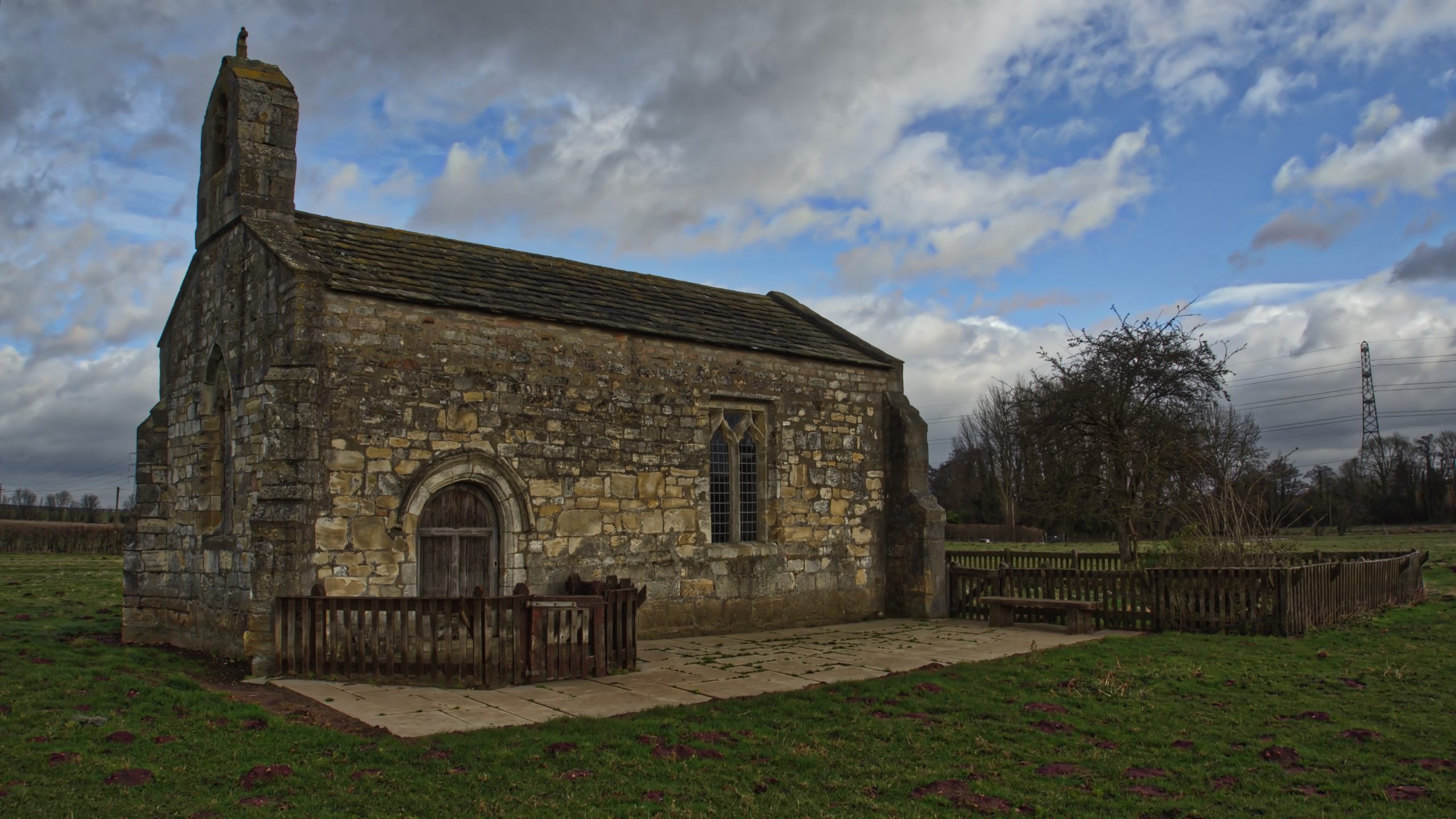
Lead Chapel
A departure from tradition. Instead of posting a photo from today’s wander around Coate Moor, I’ve chosen another one from yesterday. Seems a shame not to take full advantage of fresh photo opportunities. The Chapel of St. Mary is a delightful little church standing alone in a field and dating from the 12th-century. It was…
-
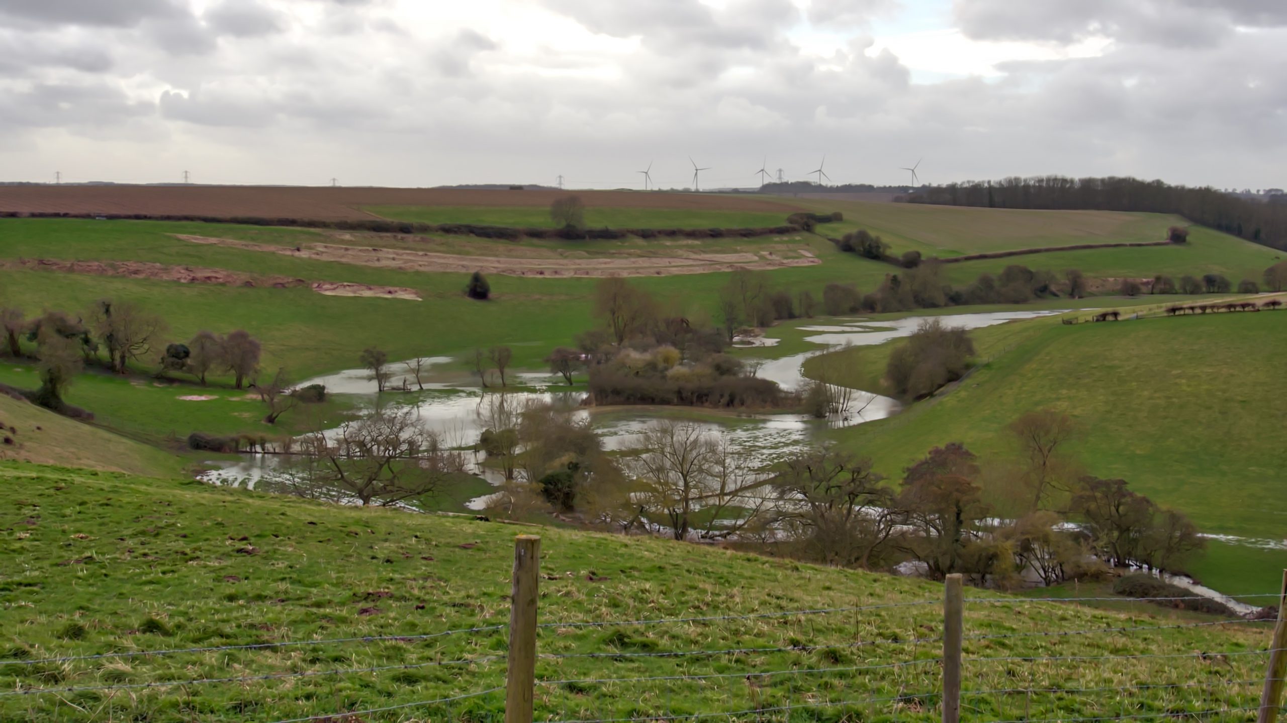
Bloody Meadow
A few miles south of Tadcaster to look around the site of the Battle of Towton, a defining battle in the War of the Roses and perhaps the most barbaric ever fought on English soil. The River Cock had overflowed its banks following Storm Dennis flooding the Bloody Meadow, where many fleeing Lancastrian soldiers were…
-
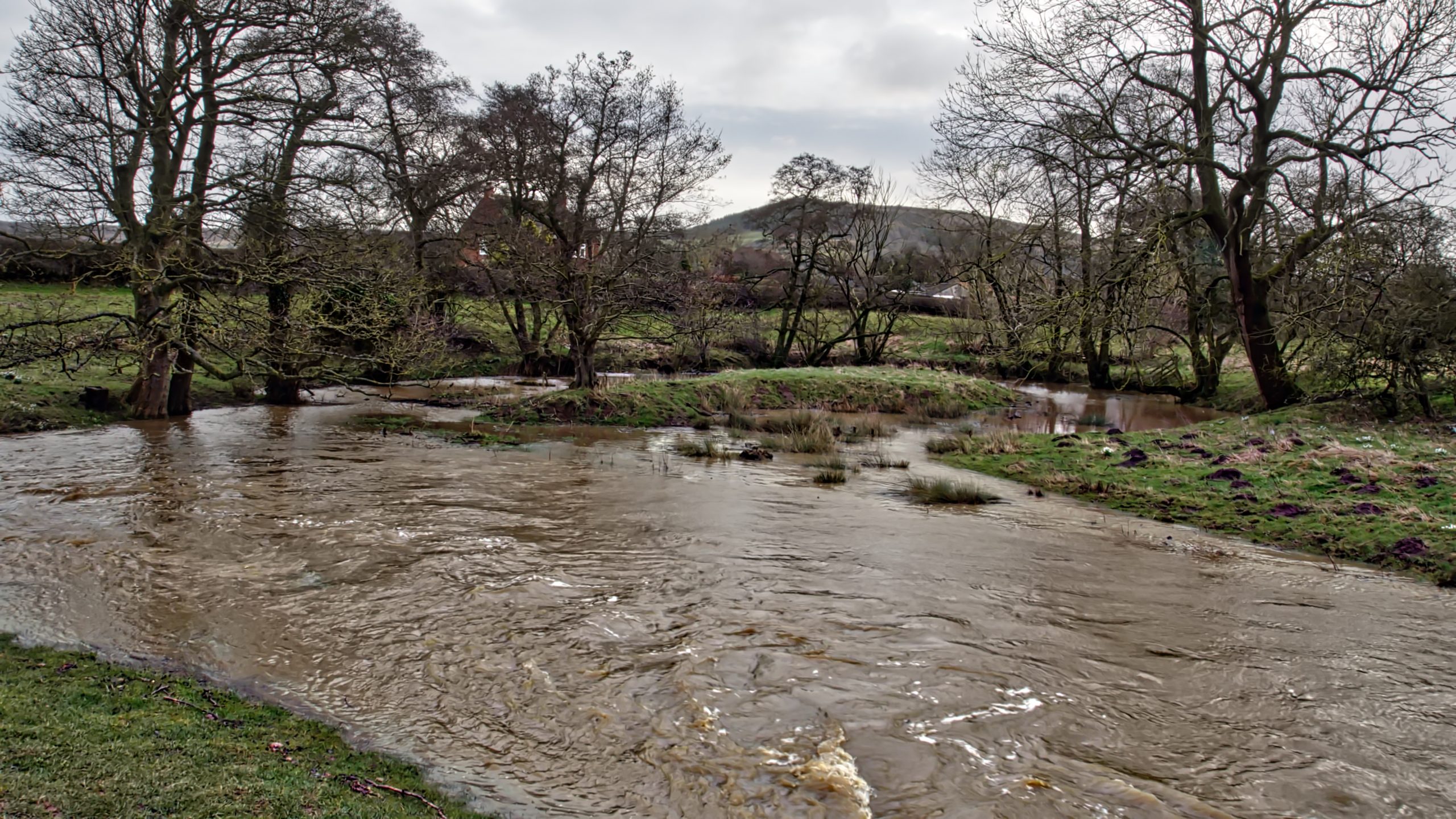
Ox-bow pond near Holmes Bridge
It is perhaps too early to say that Cleveland got off relatively lightly last night from Storm Dennis, as the run-off takes several hours to flow down off the moors to affect river levels. At Little Ayton, the River Leven is high enough to flood a normally dried up ox-bow pond. This is part of…
-
Forgotten Footpaths
I’ve found a website which is currently fascinating me. It’s called ‘Don’t Lose Your Way’ and it’s run by the Ramblers. It enables a direct comparison between the modern Ordnance Survey map and the 1895 edition. Its purpose is to identify and record lost footpaths that have been omitted as statutory Public Footpaths from the…
-
14th February 1779 – Death of Capt. Cook in Kealakekua Bay, Hawaii
I can not let St. Valentine’s Day pass without a mention of Captain James Cook R.N., Great Ayton’s most famous son, who was killed on this day in 1779 in Kealakekua Bay, Hawai’i. He is remembered as a hero, a great explorer, navigator, cartographer, “discoverer” of New Zealand. Ayton was his boyhood home, his father…
Care to comment?